Flow Moss
Hill, Mountain in Renfrewshire
Scotland
Flow Moss
Flow Moss is a vast expanse of moorland located in Renfrewshire, Scotland. Situated in the southwestern part of the region, this natural landscape is renowned for its stunning views, diverse flora, and unique geological features.
Covering an area of approximately 6 square miles, Flow Moss is characterized by its gently undulating terrain and peat bogs. The area is largely uninhabited and remains untouched by human intervention, making it a haven for wildlife and a popular destination among nature enthusiasts.
The moorland is home to a variety of plant species, including heather, cotton grass, and bilberry bushes, which add bursts of color to the landscape throughout the year. These plants thrive in the acidic peat soil, which is a distinct characteristic of the area.
Flow Moss is also home to several species of birds and animals, including red grouse, curlews, and golden plovers. These species are well adapted to the moorland environment and can be spotted by keen observers. The area is also known to be a breeding ground for various insects and butterflies, further enhancing its ecological value.
In addition to its natural beauty, Flow Moss offers visitors a range of recreational activities. Hiking and walking trails crisscross the moorland, allowing visitors to explore and take in the breathtaking scenery. The panoramic views from the higher points of Flow Moss are particularly impressive, offering vistas of the surrounding hills and mountains.
Overall, Flow Moss in Renfrewshire is a remarkable natural landscape that combines the tranquility of untouched moorland with stunning views and abundant wildlife, making it a must-visit destination for nature lovers and outdoor enthusiasts.
If you have any feedback on the listing, please let us know in the comments section below.
Flow Moss Images
Images are sourced within 2km of 55.695142/-4.2971534 or Grid Reference NS5547. Thanks to Geograph Open Source API. All images are credited.


Flow Moss is located at Grid Ref: NS5547 (Lat: 55.695142, Lng: -4.2971534)
Unitary Authority: East Renfrewshire
Police Authority: Greater Glasgow
What 3 Words
///padlock.ghost.excuse. Near Eaglesham, East Renfrewshire
Nearby Locations
Related Wikis

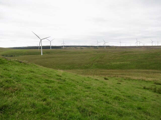
Whitelee Wind Farm
Whitelee Wind Farm is a windfarm on the Eaglesham moor in Scotland. The main visitor centre is located in East Renfrewshire, but the majority of turbines...

Corse Hill
Corse Hill is a hill located between East Renfrewshire and South Lanarkshire of Scotland. With a height of 376 m (1,234 ft), it is the highest point in...

Millhall
Millhall is a hamlet in East Renfrewshire, in the Central Lowlands of Scotland. It lies 0.8 miles (1.3 km) southeast of Eaglesham, 8.3 miles (13.4 km)...
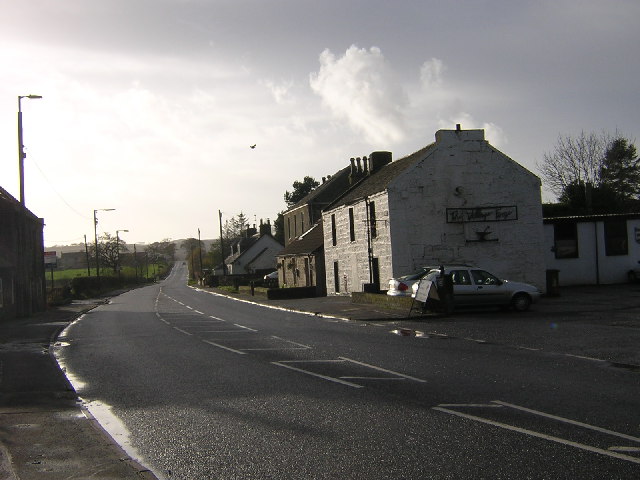
Eaglesham
Eaglesham ( EE-gəl-səm) is a village in East Renfrewshire, Scotland, situated about 10 miles (16 km) south of Glasgow, 3 miles (5 km) southeast of Newton...
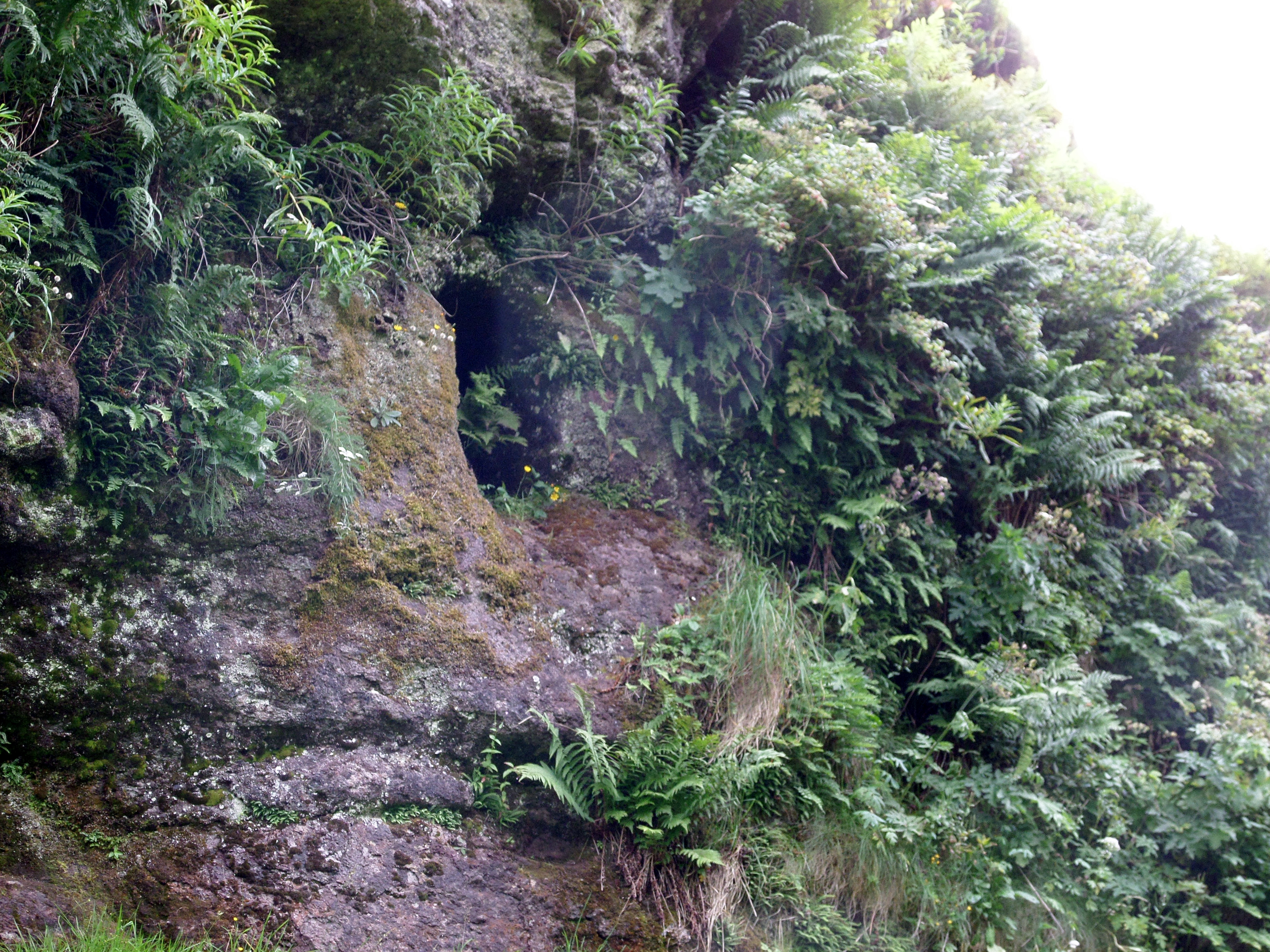
Dunton Cove
Dunton Cove or the Covenanters' Cave is an artificial cave in a craggy outcrop of rocks overlooking the Craufurdland Water just below the confluence of...

A726 road
The A726 road in Scotland is a major route with several distinct sections with different characteristics and names; owing to its stages of construction...
Jackton
Jackton is a small village lying just on the western periphery of East Kilbride in South Lanarkshire, on the B764 road (otherwise known as the 'Eaglesham...

Lindsayfield
Lindsayfield is a residential area in the new town of East Kilbride, Scotland. The modern estate was constructed from the 1990s onwards. == Overview... ==
Nearby Amenities
Located within 500m of 55.695142,-4.2971534Have you been to Flow Moss?
Leave your review of Flow Moss below (or comments, questions and feedback).