Carn Fraoich

Hill, Mountain in Inverness-shire

Scotland

Carn Fraoich

Allt an Iuill Moorland stream draining the northern slopes of Geal Charn into Loch na Lairige. A vast expanse of Monadhliath wilderness which may soon be blighted by windfarms if the scoping mast we saw to the north west is an omen.
Allt an Iuill Credit: Karl and Ali

Carn Fraoich is a prominent hill located in Inverness-shire, Scotland. Situated in the western part of the county, it forms part of the Scottish Highlands and offers breathtaking panoramic views of the surrounding landscapes.

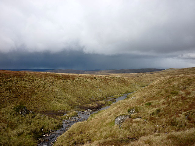
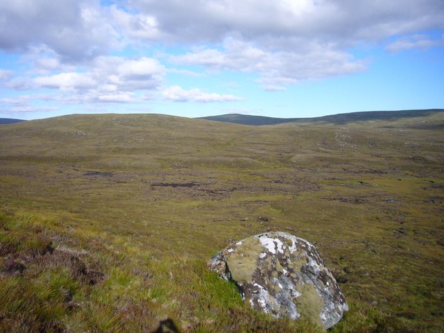
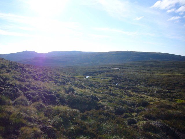
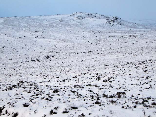
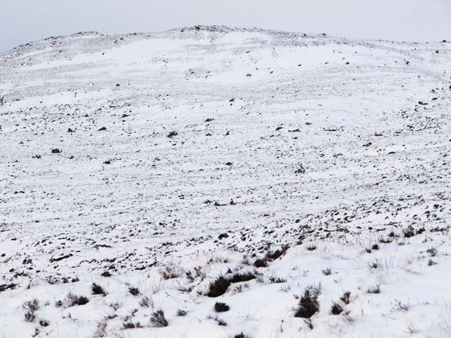
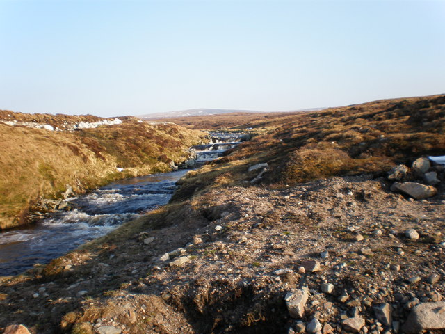
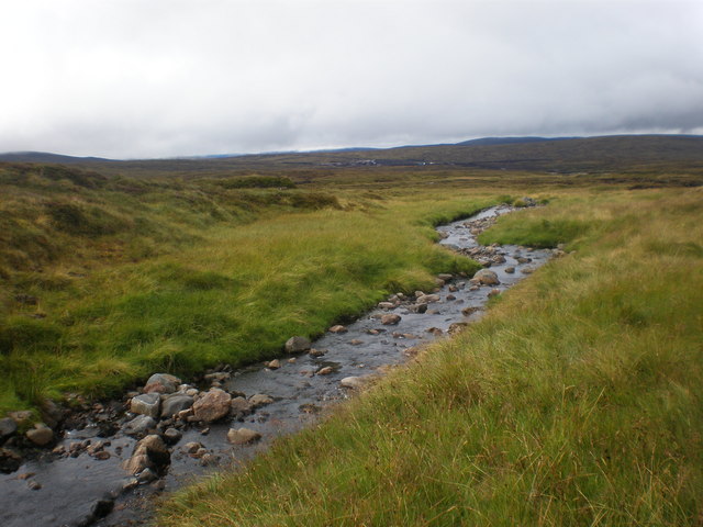
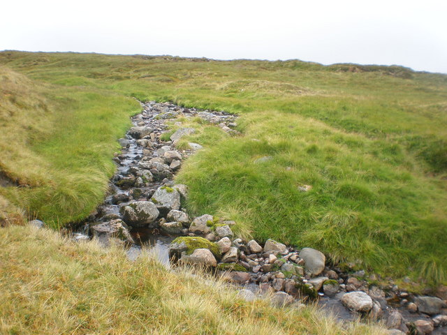
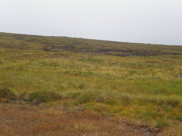
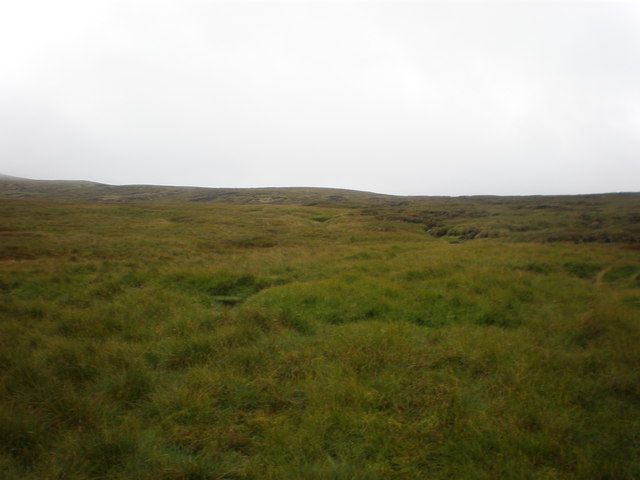
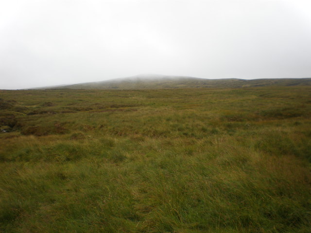
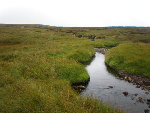
Rising to an elevation of approximately 611 meters (2,005 feet), Carn Fraoich is a popular destination for hikers, mountaineers, and nature enthusiasts. Its distinctive shape and rugged terrain provide a challenging yet rewarding experience for those who venture to its summit. The hill is characterized by its rocky slopes, heather-covered moorland, and scattered patches of woodland.

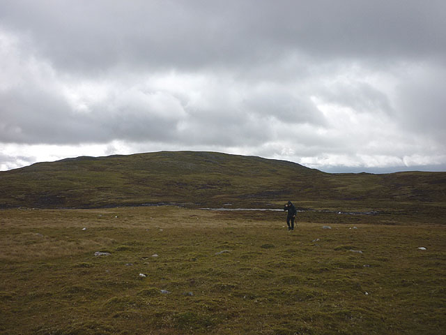
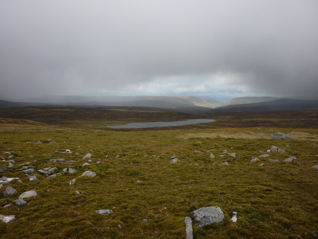
The ascent to the top of Carn Fraoich can be approached from various directions, with the most common starting point being the nearby village of Fort Augustus. As visitors make their way up the hill, they are treated to breathtaking vistas of Loch Ness, the Great Glen, and the surrounding mountain ranges.

Wildlife is abundant in the area, with sightings of red deer, mountain hares, and various bird species being common. The hill is also home to a diverse range of plant life, including heather, bilberry, and mosses.

With its natural beauty and challenging terrain, Carn Fraoich offers a rewarding experience for outdoor enthusiasts. Whether it's a leisurely hike to enjoy the scenery or a more adventurous climb to conquer its summit, this hill is a must-visit for anyone exploring the Inverness-shire region.

If you have any feedback on the listing, please let us know in the comments section below.
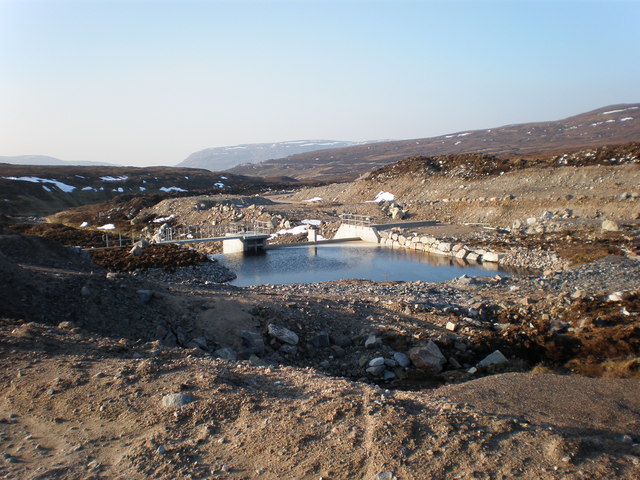
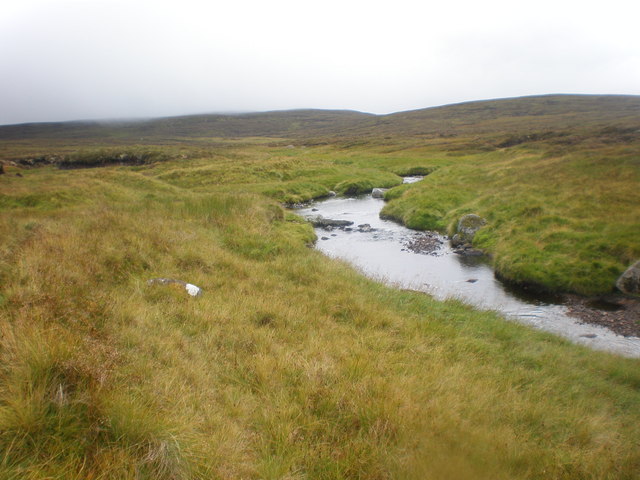
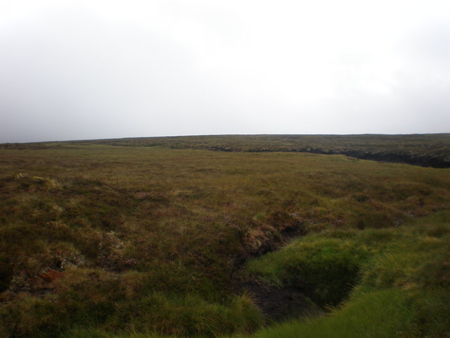
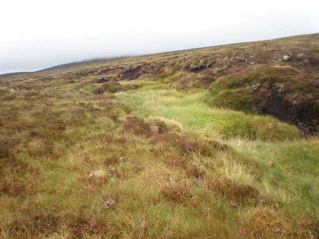
Carn Fraoich Images

Images are sourced within 2km of 57.079298/-4.3841308 or Grid Reference NH5501. Thanks to Geograph Open Source API. All images are credited.

Allt an Iuill Moorland stream draining the northern slopes of Geal Charn into Loch na Lairige. A vast expanse of Monadhliath wilderness which may soon be blighted by windfarms if the scoping mast we saw to the north west is an omen.
Allt an Iuill
Moorland stream draining the northern slopes of Geal Charn into Loch na Lairige. A vast expanse of Monadhliath wilderness which may soon be blighted by windfarms if the scoping mast we saw to the north west is an omen.
Crossing moorland east of Allt an Iuill Geal Charn in the background.
Crossing moorland east of Allt an Iuill
Geal Charn in the background.
Moorland above Loch na Lairige A vast expanse of Monadhliath wilderness which may soon be defaced by windfarms.
Moorland above Loch na Lairige
A vast expanse of Monadhliath wilderness which may soon be defaced by windfarms.
Carn Fraoich glacial moraine/esker This shallow col is the lowest point on the Spey - W Monadhliath watershed, at 690m. A glacier has crossed it from south to north leaving a distinctive moraine or esker, the only unusual feature in this vast moorland, apart from the erratic boulder in the foreground. Carn Fraoich is back left, and the watershed bears right up to the Monadhliath Geal Charn Munro, not that many people do it this way.
Carn Fraoich glacial moraine/esker
This shallow col is the lowest point on the Spey - W Monadhliath watershed, at 690m. A glacier has crossed it from south to north leaving a distinctive moraine or esker, the only unusual feature in this vast moorland, apart from the erratic boulder in the foreground. Carn Fraoich is back left, and the watershed bears right up to the Monadhliath Geal Charn Munro, not that many people do it this way.
Creag an Dearg Lochain glacial breach col This shallow glaciated col is the lowest point on the Spey - W Monadhliath watershed. The distant crags on the right have been slightly steepened by the passage of ice south to north.  Beyond is Meall na h-Aisre, a remote Corbett.
Creag an Dearg Lochain glacial breach col
This shallow glaciated col is the lowest point on the Spey - W Monadhliath watershed. The distant crags on the right have been slightly steepened by the passage of ice south to north. Beyond is Meall na h-Aisre, a remote Corbett.
Creag Mhor in winter Snow covered moorland and rocky outcrops north of Garva Bridge
Creag Mhor in winter
Snow covered moorland and rocky outcrops north of Garva Bridge
Snowy moorland NW of Geal Charn Flat lighting and no features to pick out for the photograph
Snowy moorland NW of Geal Charn
Flat lighting and no features to pick out for the photograph
Water coming down from Chalybeate Spring to Tunnel Inlet number 4 The water coming down from Chalybeate Spring becomes the Cròm Allt
Water coming down from Chalybeate Spring to Tunnel Inlet number 4
The water coming down from Chalybeate Spring becomes the Cròm Allt
Tunnel Inlet number 5 on Allt Dearg Lochan
Outlet burn from Loch na Lairige coming down to Chalybeate Spring
Grouse moor near Chalybeate Spring
Grouse moor near Chalybeate Spring and Caochan Uchdach
Caochan Uchdach going down to Chalybeate Spring
Burns crossing Grouse moor south of Caochan Uchdach
Herd of deer disappearing over grouse moor
Grouse moor near Caochan Uchdach looking east
Cloud descending over Grouse moor near Caochan Uchdach Visibility was limited for the next 6km once I was above 600m.
Cloud descending over Grouse moor near Caochan Uchdach
Visibility was limited for the next 6km once I was above 600m.
Caochan Uchdach coming north across Grouse moor While sitting having lunch a water vole popped up from the pool, saw me and disappeared again. The water was too black to see where it went
Caochan Uchdach coming north across Grouse moor
While sitting having lunch a water vole popped up from the pool, saw me and disappeared again. The water was too black to see where it went
Show me another place!

Carn Fraoich is located at Grid Ref: NH5501 (Lat: 57.079298, Lng: -4.3841308)

Unitary Authority: Highland

Police Authority: Highlands and Islands

What 3 Words

///handrail.thudded.rally. Near Newtonmore, Highland

Nearby Locations

Carn Fraoich

Related Wikis

Càrn Dearg, Monadh Liath

Càrn Dearg is the highest peak of the Monadh Liath mountains in the Highlands of Scotland. Its eastern flanks slope steeply down into Glen Ballach, while...

Dùn dà Làmh

Dùn dà Làmh is a Pictish now ruined hill fort near Laggan in the Scottish Highlands. It became a scheduled monument in 1986, with an extension to the protected...

Laggan, Badenoch

Laggan (Gaelic: Lagan ) is a village in Badenoch, in the Highland region of Scotland. It is beside the River Spey, about 10 km west of Newtonmore. The...

Loch Killin

Loch Killin is a small freshwater loch in the Monadhliath Mountains, in Highland, Scotland, United Kingdom. == Geography == The loch is about 1.2 miles...

Have you been to Carn Fraoich?

Leave your review of Carn Fraoich below (or comments, questions and feedback).