Benbrack
Hill, Mountain in Kirkcudbrightshire
Scotland
Benbrack

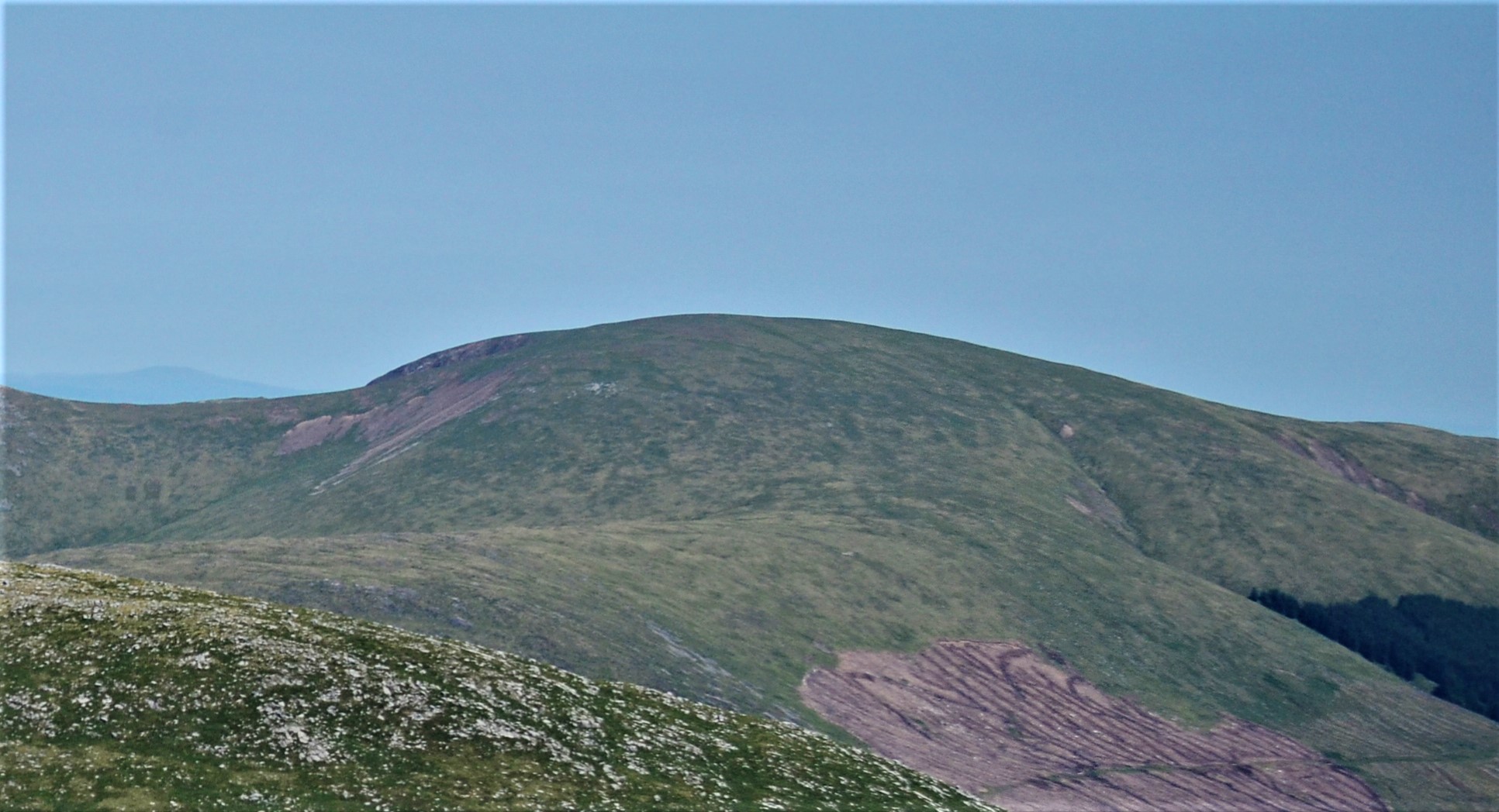
Benbrack is a prominent hill located in the region of Kirkcudbrightshire in Scotland. Standing at an impressive height of 580 meters (1,903 feet), it offers breathtaking views of the surrounding countryside. Situated within the picturesque Galloway Forest Park, Benbrack is a popular destination for outdoor enthusiasts, hikers, and nature lovers.
The hill is characterized by its steep slopes and rugged terrain, presenting a moderate to challenging climb for adventurers. The ascent to the summit is rewarded with panoramic vistas of rolling hills, dense forests, and sparkling lochs. On clear days, it is possible to catch a glimpse of the Irish Sea in the distance.
Benbrack is home to an array of diverse flora and fauna. The lower slopes are adorned with lush vegetation, including heather, ferns, and wildflowers, while the higher regions are marked by rocky outcrops and sparse grasses. The hill provides habitats for various species of birds, such as golden eagles, peregrine falcons, and red kites, making it an excellent spot for birdwatching.
For those interested in history, Benbrack also holds significance. It is believed to have been a place of ritual and ceremony for ancient Celtic tribes, with remnants of prehistoric settlements and stone circles scattered throughout the area.
Overall, Benbrack in Kirkcudbrightshire offers a captivating blend of natural beauty, challenging terrain, and historical intrigue, making it a must-visit destination for anyone seeking an immersive outdoor experience in Scotland.
If you have any feedback on the listing, please let us know in the comments section below.
Benbrack Images
Images are sourced within 2km of 55.096453/-4.2721919 or Grid Reference NX5580. Thanks to Geograph Open Source API. All images are credited.


Benbrack is located at Grid Ref: NX5580 (Lat: 55.096453, Lng: -4.2721919)
Unitary Authority: Dumfries and Galloway
Police Authority: Dumfries and Galloway
What 3 Words
///glee.relief.enacts. Near Newton Stewart, Dumfries & Galloway
Nearby Locations
Related Wikis

Clatteringshaws Loch
Clatteringshaws Loch is a freshwater reservoir in the historical county of The Stewartry of Kirkcudbright in Dumfries and Galloway, Scotland. It was created...

Waukers Linn
Waukers Linn is a waterfall on Polharrow Burn in Dumfries and Galloway, Scotland. == See also == Waterfalls of Scotland == References ==

Polharrow Burn
Polharrow Burn is a small watercourse in Dumfries and Galloway, Scotland, in the historic county of Kirkcudbrightshire. It rises in Loch Harrow and flows...

St John's Town of Dalry
St John's Town of Dalry (Scottish Gaelic: Clachan Eòin), usually referred to simply as Dalry (/dæl'raɪ/ / 'dal-RYE'), is a village in Dumfries and Galloway...

Earlstoun Castle
Earlstoun Castle, sometimes spelled Earlston Castle, is a derelict tower house near St John's Town of Dalry in Dumfries and Galloway, Scotland. Built in...

Kells, Dumfries and Galloway
Kells parish, in the Stewartry of Kirkcudbright in Scotland, is located 14 miles (NWbN) from Castle-Douglas, and 19 miles (NbW) from Kirkcudbright. It...

Water of Ken
The Water of Ken is a river in the historical county of Kirkcudbrightshire in Galloway, south-west Scotland. It rises on Blacklorg Hill, north-east of...
Corserine
Corserine is a hill in the Rhinns of Kells, a sub-range of the Galloway Hills range, part of the Southern Uplands of Scotland. The highest point of the...
Nearby Amenities
Located within 500m of 55.096453,-4.2721919Have you been to Benbrack?
Leave your review of Benbrack below (or comments, questions and feedback).