Auchtubhmore Hill
Hill, Mountain in Perthshire
Scotland
Auchtubhmore Hill

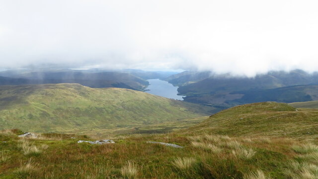
Auchtubhmore Hill is a prominent hill located in Perthshire, Scotland. Situated near the small village of Dull, it is part of the larger Grampian Mountains range. Rising to an elevation of approximately 600 meters (1,968 feet), Auchtubhmore Hill offers breathtaking panoramic views of the surrounding landscape.
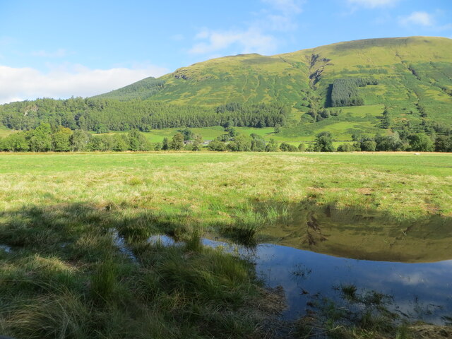
The hill is characterized by its gently sloping sides, covered in heather and grasses, which provide a home to a variety of wildlife. Visitors to Auchtubhmore Hill can expect to encounter a diverse range of flora and fauna, including birds such as red grouse and curlews, as well as small mammals like hares and voles.
The summit of Auchtubhmore Hill is relatively flat, making it an ideal spot for hikers and nature enthusiasts to take a break and enjoy the scenery. On a clear day, the views from the top extend for miles, showcasing the stunning beauty of the surrounding Perthshire countryside.
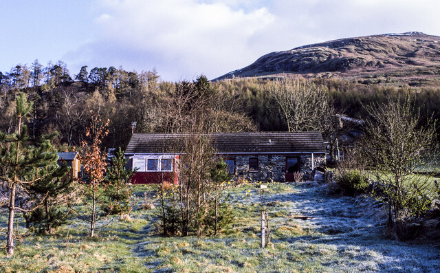
Access to Auchtubhmore Hill is relatively straightforward, with a well-defined trail leading to the summit. The hike itself is of moderate difficulty, making it suitable for people of various fitness levels. However, it is always advisable to come prepared with appropriate clothing and footwear, as the weather conditions can change quickly in the Scottish highlands.
Overall, Auchtubhmore Hill is a picturesque and accessible hill in Perthshire, offering visitors the opportunity to immerse themselves in the natural beauty of the Scottish countryside.
If you have any feedback on the listing, please let us know in the comments section below.
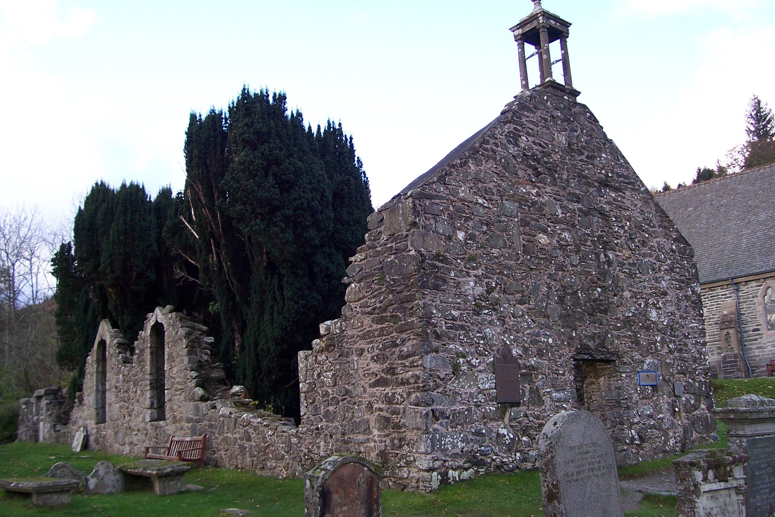
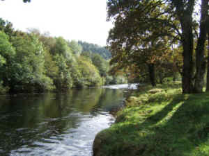
Auchtubhmore Hill Images
Images are sourced within 2km of 56.370448/-4.3485865 or Grid Reference NN5522. Thanks to Geograph Open Source API. All images are credited.


Auchtubhmore Hill is located at Grid Ref: NN5522 (Lat: 56.370448, Lng: -4.3485865)
Unitary Authority: Stirling
Police Authority: Forth Valley
What 3 Words
///dreams.printout.tomato. Near Callander, Stirling
Nearby Locations
Related Wikis

Meall an t-Seallaidh
Meall an t-Seallaidh (852 m) is a mountain in the Southern Highlands of Scotland. It is located in the Loch Lomond and The Trossachs National Park, west...

Auchtubh
Auchtubh is a hamlet in the Stirling council area of Scotland, less than 1 mile (2 kilometres) to the east of the village of Balquhidder. Auchtubh consisted...
Balquhidder
Balquhidder ( ; Scottish Gaelic: Both Chuidir [ˌpɔˈxutʲɪɾʲ] or Both Phuidir [ˌpɔˈfutʲɪɾʲ]) is a small village in Perthshire located 10 miles (16 km) north...

Kingshouse railway station
Kingshouse was a railway station located at the hamlet of Kingshouse, Stirling where the road from Balquhidder joins the A84. The only building of note...

Balquhidder railway station
Balquhidder was a railway station around two miles south of Lochearnhead, Stirling (district). It was where the Callander and Oban Railway was joined by...
River Balvaig
The River Balvaig (Scottish Gaelic: "Abhainn Balbhaig") is a short river, approximately 8 km (5.0 mi) long, draining from the head of Loch Voil near Balquhidder...

Lochearnhead railway station
Lochearnhead is a former railway station in the village of Lochearnhead in Perthshire. It opened in 1904 as part of the Comrie, St Fillans & Lochearnhead...

Lochearnhead
Lochearnhead (Scottish Gaelic: Ceann Loch Èireann) is a village in Perthshire on the A84 Stirling to Crianlarich road at the foot of Glen Ogle, 14 miles...
Have you been to Auchtubhmore Hill?
Leave your review of Auchtubhmore Hill below (or comments, questions and feedback).