Beinn Luidh
Hill, Mountain in Perthshire
Scotland
Beinn Luidh
The requested URL returned error: 429 Too Many Requests
If you have any feedback on the listing, please let us know in the comments section below.
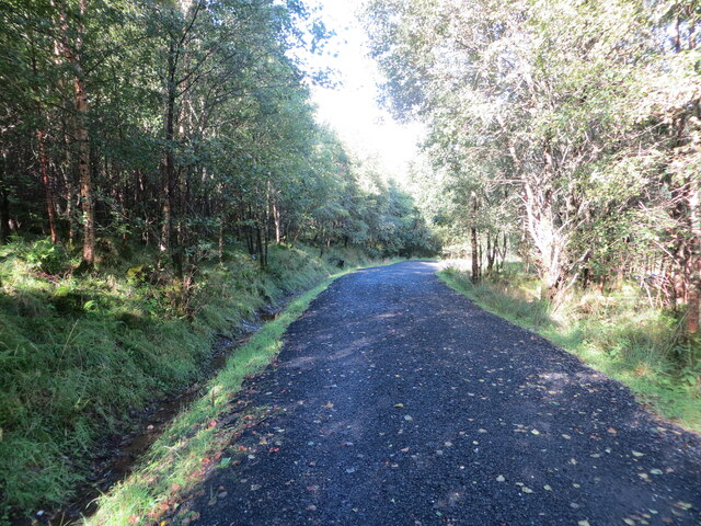
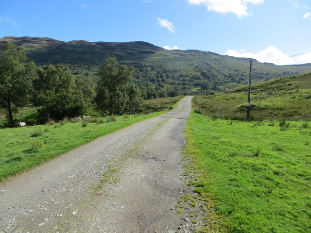
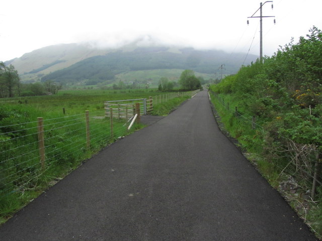
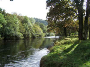
Beinn Luidh Images
Images are sourced within 2km of 56.335519/-4.354092 or Grid Reference NN5418. Thanks to Geograph Open Source API. All images are credited.


Beinn Luidh is located at Grid Ref: NN5418 (Lat: 56.335519, Lng: -4.354092)
Unitary Authority: Stirling
Police Authority: Forth Valley
What 3 Words
///truly.senior.fabricate. Near Callander, Stirling
Nearby Locations
Related Wikis
River Balvaig
The River Balvaig (Scottish Gaelic: Abhainn Balbhaig) is a short river, approximately 8 km (5.0 mi) long, draining from the head of Loch Voil near Balquhidder...

Strathyre railway station
Strathyre was a railway station located at the head of Loch Lubnaig, Stirling, in Strathyre. == History == This station opened on 1 June 1870 along with...

Strathyre
Strathyre (; from Scottish Gaelic: Srath Eadhair) is a district and settlement in the Stirling local government district of Scotland. It forms the south...

Auchtubh
Auchtubh is a hamlet in the Stirling council area of Scotland, less than 1 mile (2 kilometres) to the east of the village of Balquhidder. Auchtubh consisted...
Have you been to Beinn Luidh?
Leave your review of Beinn Luidh below (or comments, questions and feedback).