Swindon Down
Hill, Mountain in Devon North Devon
England
Swindon Down
Swindon Down is a prominent hill located in the county of Devon, England. It is part of the Dartmoor National Park and stands at an elevation of approximately 523 meters (1,716 feet) above sea level. Despite its name suggesting a "down," Swindon Down is actually more accurately referred to as a hill rather than a mountain due to its height.
The hill is characterized by its distinctive shape, with a gently sloping eastern side and a steeper western side. It offers breathtaking views of the surrounding countryside, including the nearby villages of Swindon and Tavistock. The summit of Swindon Down is marked by a trig point, which serves as a landmark for hikers and walkers exploring the area.
The hill is a popular destination for outdoor enthusiasts, offering various activities such as hiking, mountain biking, and birdwatching. Its diverse landscape features heather-covered moorland, rocky outcrops, and grazing areas for livestock. The surrounding area is also home to a rich variety of flora and fauna, including wildflowers, birds, and small mammals.
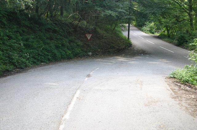
Swindon Down is easily accessible by road, with nearby parking available for visitors. It is a great location for individuals seeking a peaceful retreat in nature, as well as those looking to engage in outdoor recreational activities. With its stunning vistas and natural beauty, Swindon Down is a must-visit destination for anyone exploring the picturesque landscapes of Devon.
If you have any feedback on the listing, please let us know in the comments section below.
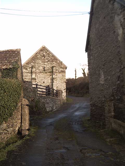
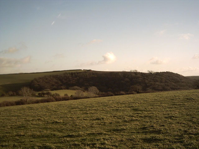
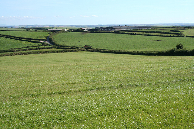
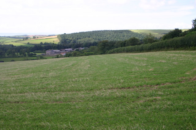
Swindon Down Images
Images are sourced within 2km of 51.139497/-4.0846935 or Grid Reference SS5439. Thanks to Geograph Open Source API. All images are credited.


Swindon Down is located at Grid Ref: SS5439 (Lat: 51.139497, Lng: -4.0846935)
Administrative County: Devon
District: North Devon
Police Authority: Devon and Cornwall
What 3 Words
///trouble.negotiators.stunts. Near Braunton, Devon
Nearby Locations
Related Wikis

Bittadon
Bittadon is a civil parish and former manor in the North Devon district of Devon, England. According to the 2001 census the parish had a population of...
Marwood, Devon
Marwood is a village in North Devon 3.5 miles (5.6 km) north of Barnstaple. The village contains 20 acres (81,000 m2) of ornamental gardens open to the...

West Down
West Down is a small village and civil parish located in North Devon, England. It is to be found on the route between Braunton and Ilfracombe, 9 miles...
Ash, Braunton
Ash in the parish of Braunton in North Devon is a historic estate listed in the Domesday Book. The present mansion, known as The Ash Barton estate is a...
Nearby Amenities
Located within 500m of 51.139497,-4.0846935Have you been to Swindon Down?
Leave your review of Swindon Down below (or comments, questions and feedback).