Black Hill
Hill, Mountain in Ayrshire
Scotland
Black Hill

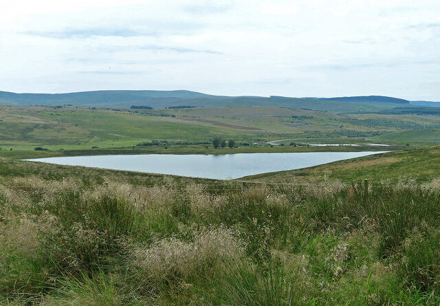
Black Hill is a prominent hill located in Ayrshire, Scotland. With an elevation of approximately 646 meters (2,119 feet), it is classified as a Corbett, which is a Scottish mountain between 2,500 and 3,000 feet in height. The hill is situated in a remote and unspoiled area, offering breathtaking views of the surrounding landscape.
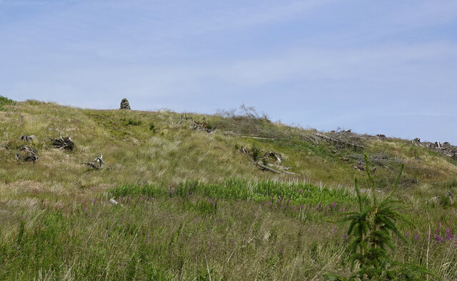
Black Hill is characterized by its distinctive conical shape, covered in heather and grasses, which gives it a dark appearance and lends its name. The terrain is mostly rugged and steep, with rocky outcrops and deep gullies, making it a challenging climb for outdoor enthusiasts and hillwalkers. It is often praised for its striking beauty and the solitude it offers to those who venture to its summit.
The hill is known for its rich biodiversity and is home to various species of flora and fauna. The lower slopes are adorned with woodlands, including birch and oak trees, while the higher sections are predominantly covered in heather and moss. Birdwatchers can spot a variety of species, such as red grouse, peregrine falcons, and golden eagles, soaring above the hill.
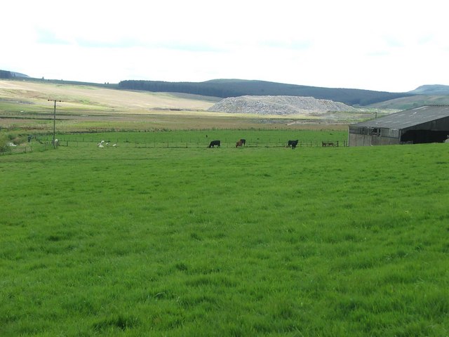
Black Hill has become a popular destination for hikers and nature enthusiasts who wish to escape the hustle and bustle of city life. Its remote location and unspoiled environment provide a peaceful retreat and an opportunity to appreciate the natural beauty of the Scottish countryside. Whether visitors are seeking a challenging climb or a peaceful stroll, Black Hill offers an unforgettable experience amidst stunning scenery.
If you have any feedback on the listing, please let us know in the comments section below.
Black Hill Images
Images are sourced within 2km of 55.395167/-4.3029952 or Grid Reference NS5413. Thanks to Geograph Open Source API. All images are credited.


Black Hill is located at Grid Ref: NS5413 (Lat: 55.395167, Lng: -4.3029952)
Unitary Authority: East Ayrshire
Police Authority: Ayrshire
What 3 Words
///dozens.bucket.pylons. Near Cumnock, East Ayrshire
Nearby Locations
Related Wikis
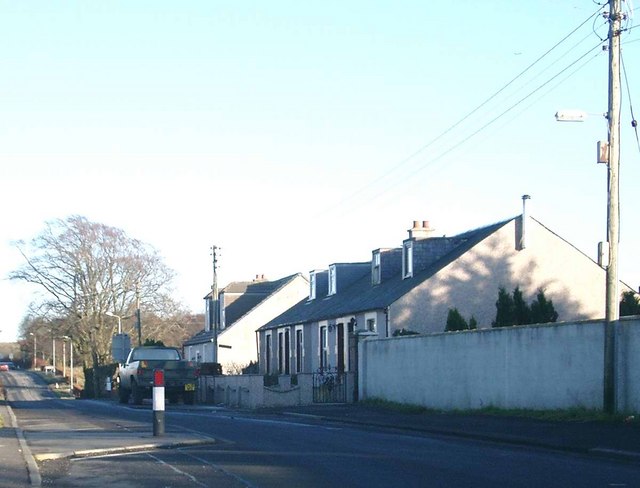
Skares
Skares is a village in East Ayrshire, Scotland. Skares is located some 3 miles (5 km) southwest of Cumnock. It used to have a football team called Skares...

Black Loch (New Cumnock)
Black Loch (NS 59057 161720) is a freshwater loch, named from its dark waters, situated in the East Ayrshire Council Area, between Cumnock and New Cumnock...

Dumfries House railway station
Dumfries House railway station was a railway station near Dumfries House, East Ayrshire, Scotland. The station was originally part of the Annbank to Cronberry...

Skares railway station
Skares railway station was a railway station serving the former mining village of Skares, East Ayrshire, Scotland. The station was originally part of the...
Have you been to Black Hill?
Leave your review of Black Hill below (or comments, questions and feedback).