Dumgoyne
Hill, Mountain in Stirlingshire
Scotland
Dumgoyne
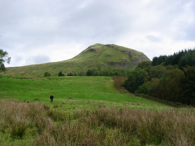
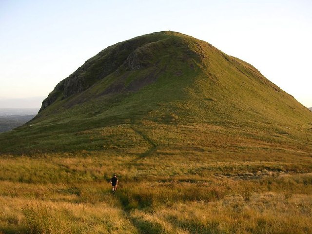
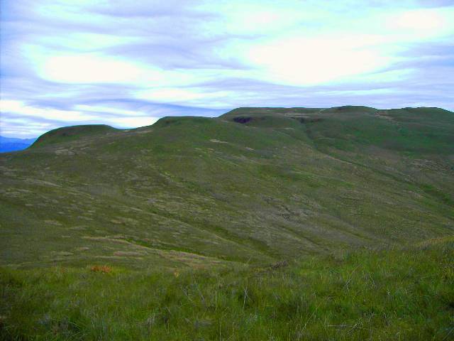
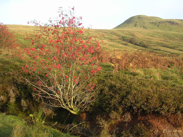
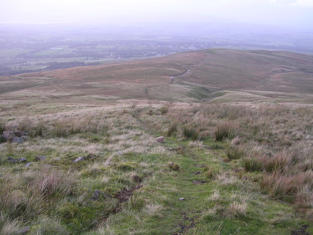
Dumgoyne is a prominent hill located in Stirlingshire, Scotland. Standing at a height of 427 meters (1,401 feet), it is a popular destination for hikers and outdoor enthusiasts seeking stunning views of the surrounding landscape. The hill is situated near the village of Killearn and is part of the Campsie Fells range.
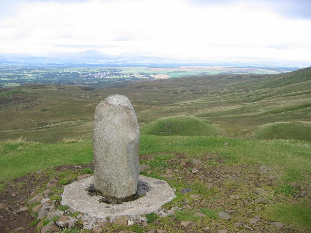
Dumgoyne is characterized by its distinctive conical shape and rocky terrain, making it a challenging yet rewarding climb for visitors. The summit offers breathtaking panoramas of Loch Lomond and the Trossachs National Park, as well as the cities of Glasgow and Stirling in the distance. On clear days, it is possible to see all the way to the Isle of Arran and the Southern Highlands.
The hill is also known for its historical significance, with evidence of ancient settlements and fortifications dating back to Roman times. Visitors can explore the remnants of a Roman watchtower and defensive walls, adding an extra layer of interest to the hiking experience. Overall, Dumgoyne is a must-visit destination for those looking to immerse themselves in Scotland's natural beauty and rich history.
If you have any feedback on the listing, please let us know in the comments section below.
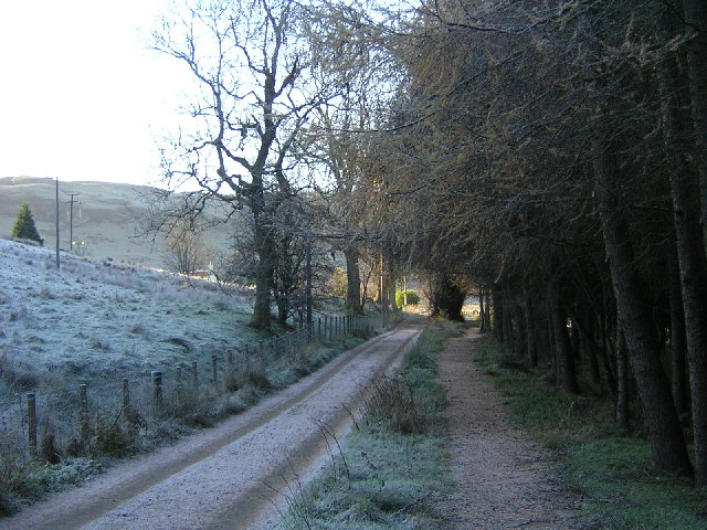
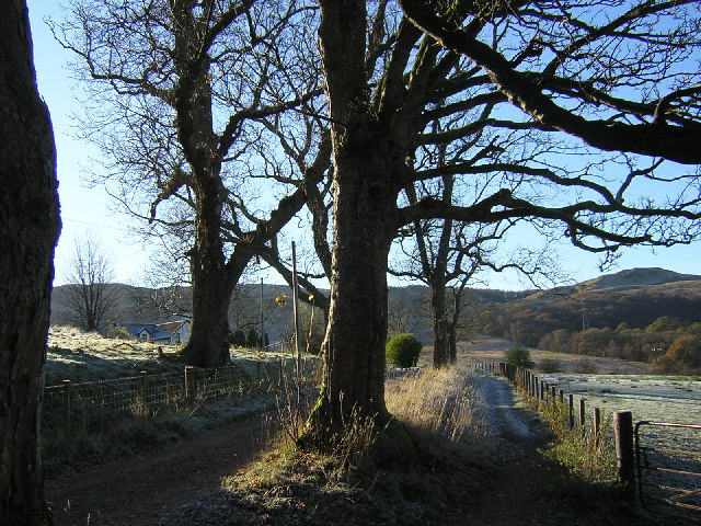
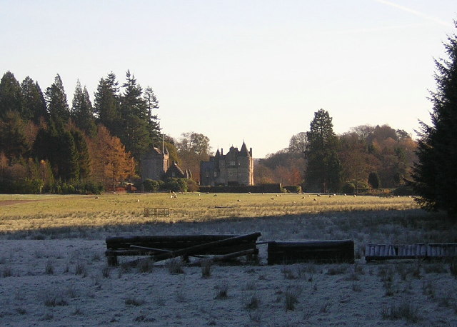
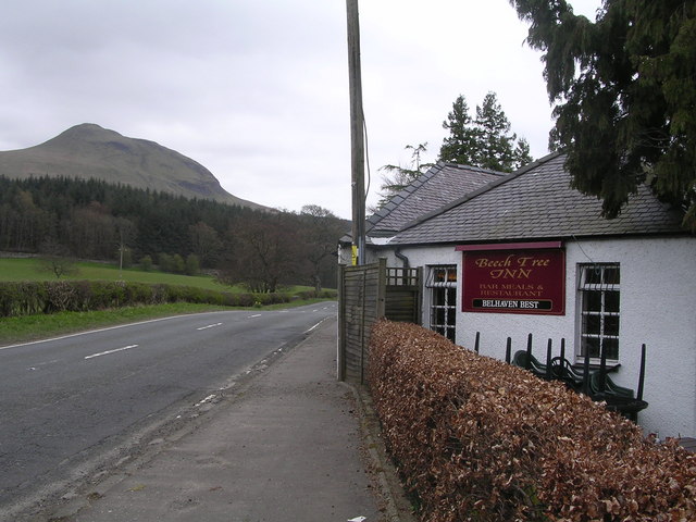
Dumgoyne Images
Images are sourced within 2km of 56.015548/-4.3411594 or Grid Reference NS5482. Thanks to Geograph Open Source API. All images are credited.


Dumgoyne is located at Grid Ref: NS5482 (Lat: 56.015548, Lng: -4.3411594)
Unitary Authority: Stirling
Police Authority: Forth Valley
What 3 Words
///curries.rainwater.sketch. Near Killearn, Stirling
Nearby Locations
Related Wikis

Dumgoyne
Dumgoyne is a hill prominent on the edge of the Campsie Fells and is a well-known landmark visible from Glasgow. It is a volcanic plug and is 427 m (1...

Dumfoyn
Dumfoyn is a hill in the Campsie Fells of Scotland. It is a volcanic plug, and rises to 426 metres (1,398 ft). It sits beside another hill, Dumgoyne which...

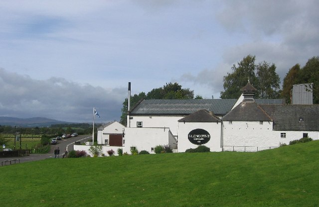
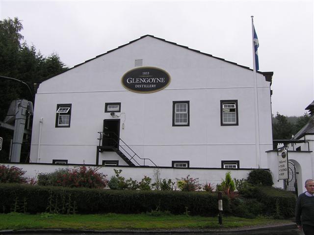
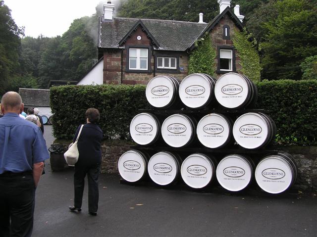
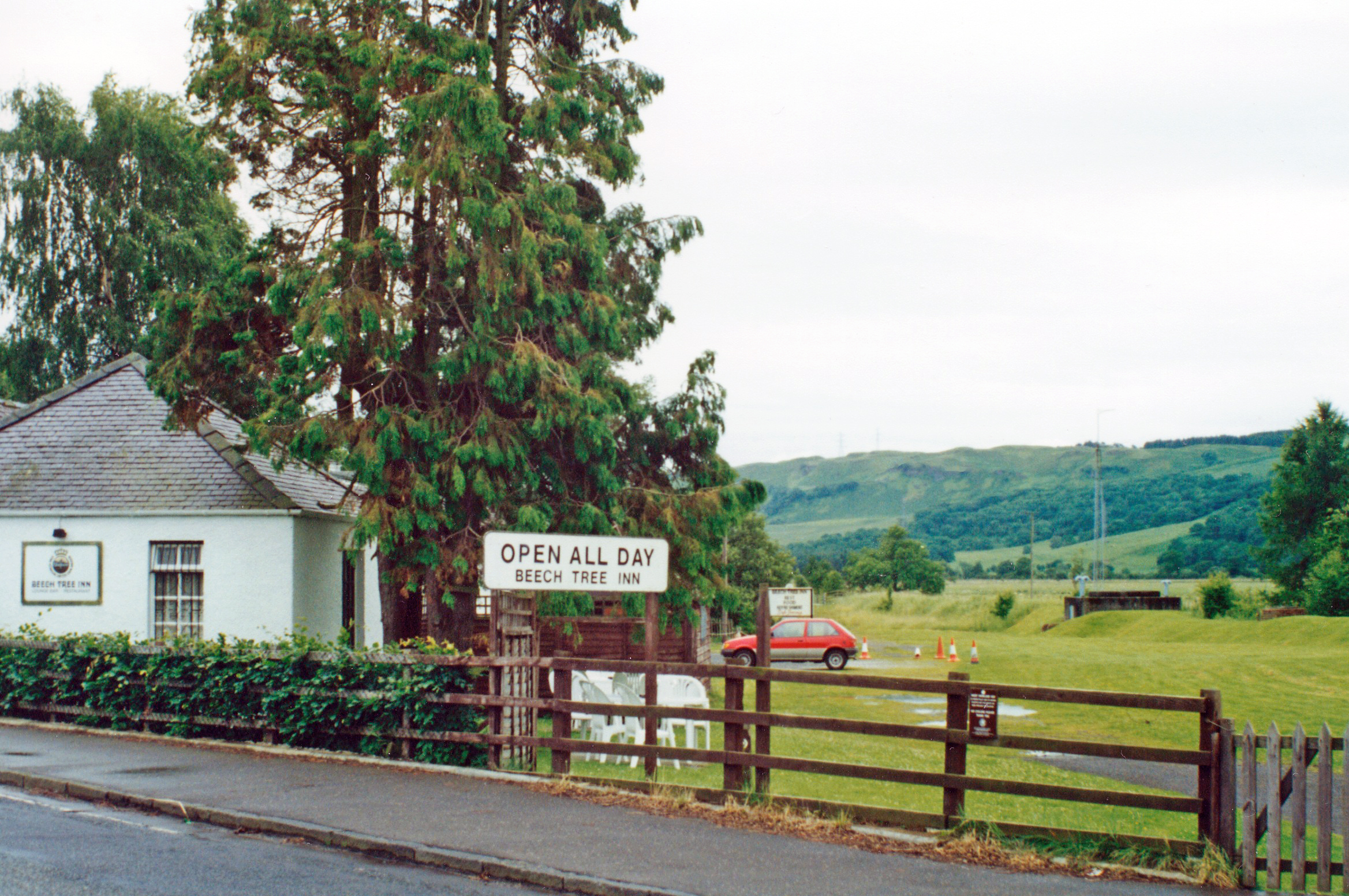
Glengoyne distillery
Glengoyne distillery is a whisky distillery continuously in operation since its founding in 1833 at Dumgoyne, north of Glasgow, Scotland. Glengoyne is...
Dumgoyne railway station
Dumgoyne railway station served the village of Killearn, Stirling, Scotland from 1867 to 1951 on the Blane Valley Railway. == History == The station was...
Nearby Amenities
Located within 500m of 56.015548,-4.3411594Have you been to Dumgoyne?
Leave your review of Dumgoyne below (or comments, questions and feedback).