Sorn Hill
Hill, Mountain in Ayrshire
Scotland
Sorn Hill

Sorn Hill is a prominent hill located in Ayrshire, Scotland. It is part of the Southern Uplands, a range of hills and mountains that stretch across southern Scotland. Sorn Hill stands at an elevation of approximately 343 meters (1,125 feet) above sea level.
The hill is situated near the village of Sorn, which lies to the southeast. It offers panoramic views of the surrounding countryside, including the River Ayr and the fertile farmland of Ayrshire. The hill is covered in lush green vegetation, with patches of heather and bracken dotting the landscape.
Sorn Hill is a popular destination for hikers and nature enthusiasts, attracting both locals and tourists alike. There are several walking trails that lead to the summit, offering varying degrees of difficulty to cater to different fitness levels. The paths are well-maintained and signposted, ensuring a safe and enjoyable experience for visitors.
At the top of Sorn Hill, there is a trig point, which is a concrete pillar used in surveying and mapping. This serves as a landmark and a point of interest for those reaching the summit. On clear days, it is possible to see as far as the Isle of Arran and the hills of Galloway.
Overall, Sorn Hill offers a picturesque and rewarding outdoor experience, combining stunning scenery with opportunities for exploration and physical activity. Whether it's a leisurely stroll or a challenging hike, visitors to Sorn Hill are sure to be captivated by its natural beauty and panoramic vistas.
If you have any feedback on the listing, please let us know in the comments section below.
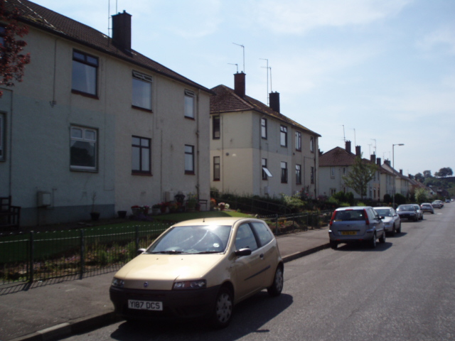
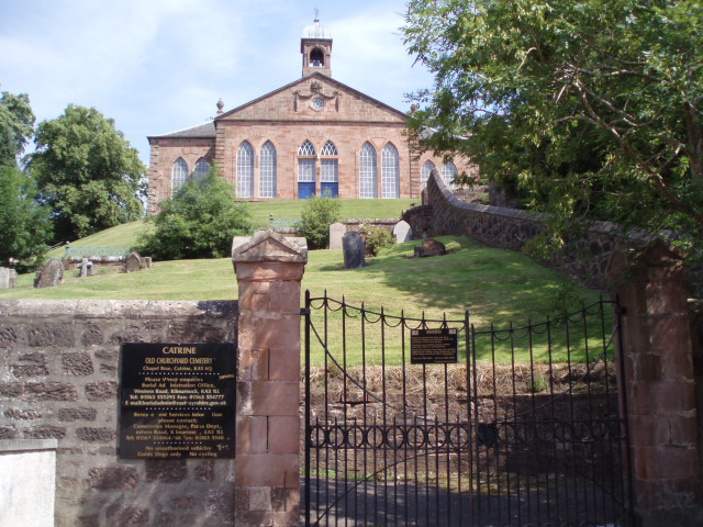
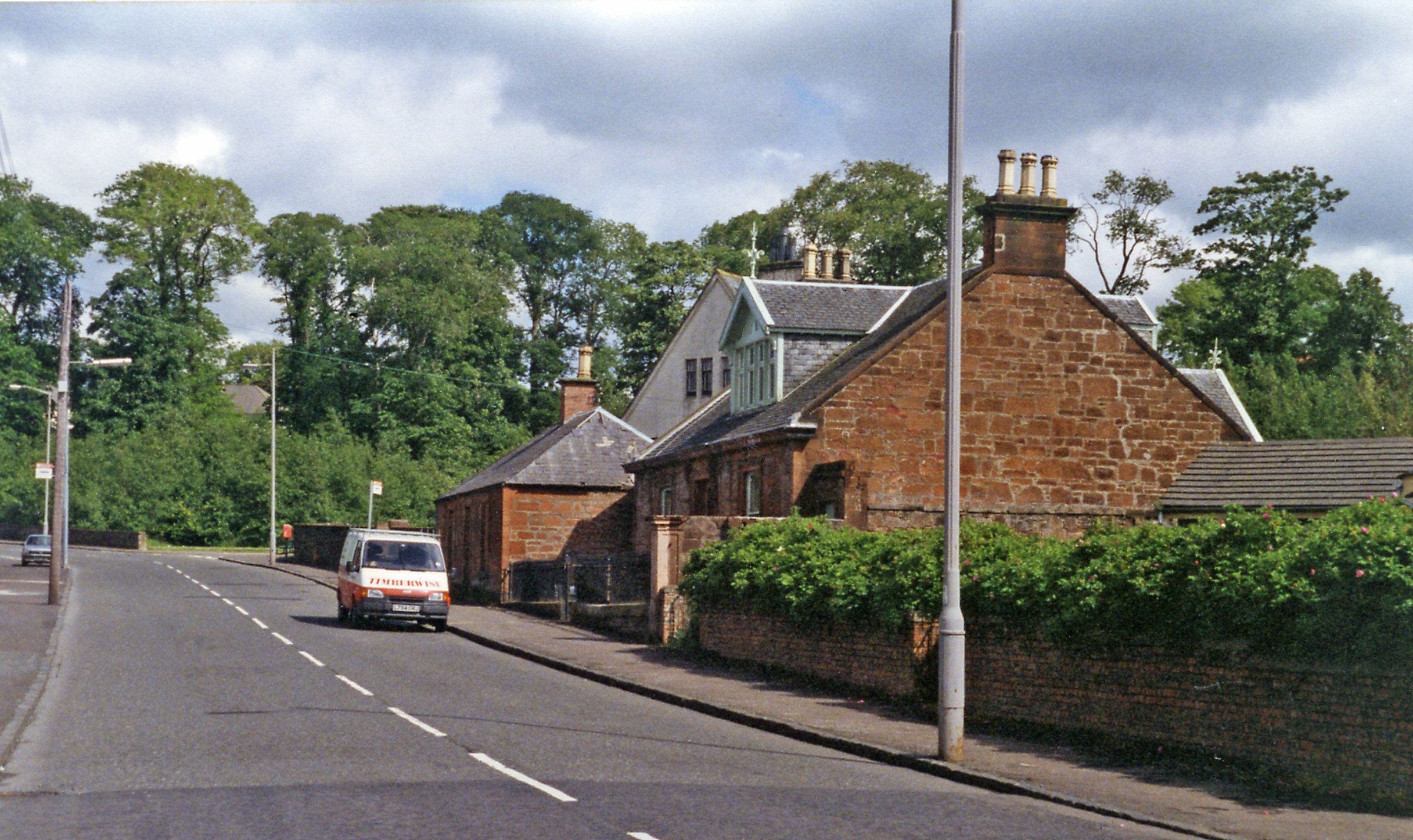
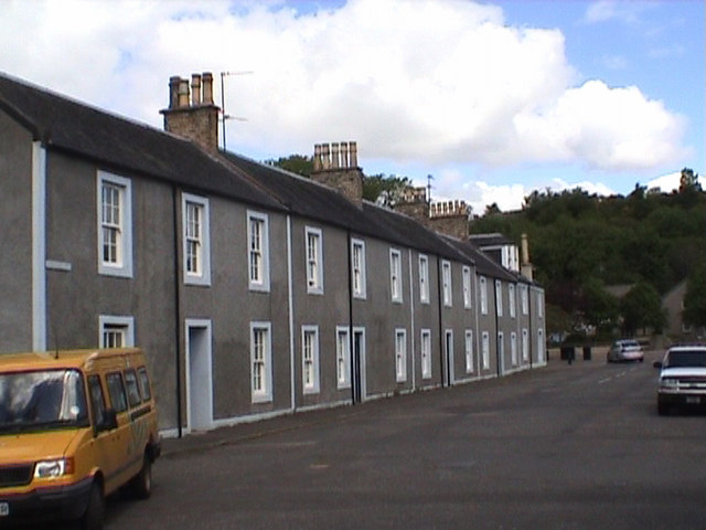
Sorn Hill Images
Images are sourced within 2km of 55.512139/-4.3125009 or Grid Reference NS5426. Thanks to Geograph Open Source API. All images are credited.


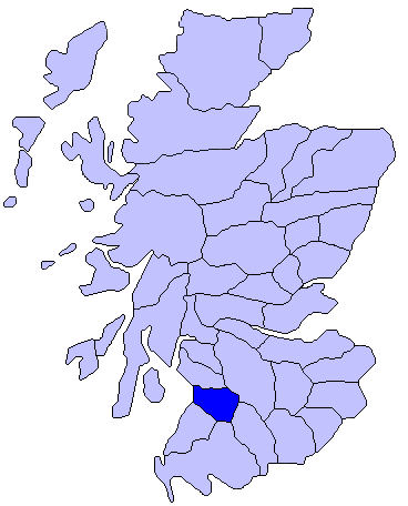
Sorn Hill is located at Grid Ref: NS5426 (Lat: 55.512139, Lng: -4.3125009)
Unitary Authority: East Ayrshire
Police Authority: Ayrshire
What 3 Words
///offline.reinstate.signed. Near Catrine, East Ayrshire
Nearby Locations
Related Wikis

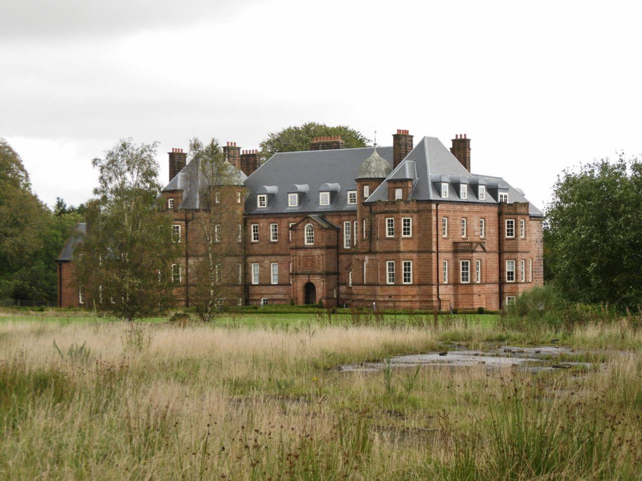
Sorn Castle
Sorn Castle is located by the River Ayr just outside the village of Sorn in East Ayrshire, Scotland. The castle comprises a medieval tower house, which...
Catrine railway station
Catrine railway station served the village of Catrine in East Ayrshire, Scotland. Open 1903–1943, except for a temporary closure, the station was the only...

Sorn, East Ayrshire
Sorn (Scottish Gaelic: Sorn, meaning a kiln) is a small village in East Ayrshire, Scotland. It is situated on the River Ayr. It has a population of roughly...

East Ayrshire
East Ayrshire (Scots: Aest Ayrshire; Scottish Gaelic: Siorrachd Àir an Ear) is one of 32 unitary council areas of Scotland. It shares borders with Dumfries...
Kyle, Ayrshire
Kyle (or Coila poetically; Scottish Gaelic: Cuil) is a former comital district of Scotland which stretched across parts of modern-day East Ayrshire and...
Catrine
Catrine is a village in East Ayrshire, Scotland which was formerly a centre of cotton manufacture. It has a population of around 2,020 (mid-2020 est...
Ballochmyle House
Ballochmyle House is an 18th-century country house near Catrine in East Ayrshire, Scotland that was the seat of the Alexander of Ballochmyle family. From...

Ballochmyle cup and ring marks
The Ballochmyle cup and ring marks were first recorded at Ballochmyle (NS 5107 2552), Mauchline, East Ayrshire, Scotland in 1986, very unusually carved...
Nearby Amenities
Located within 500m of 55.512139,-4.3125009Have you been to Sorn Hill?
Leave your review of Sorn Hill below (or comments, questions and feedback).