White Hill
Hill, Mountain in Kirkcudbrightshire
Scotland
White Hill

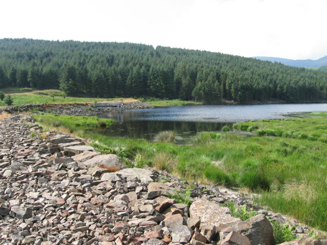
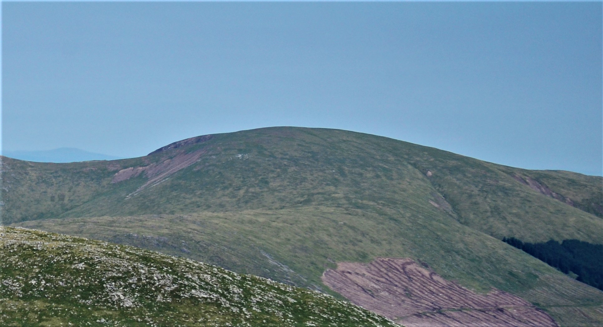
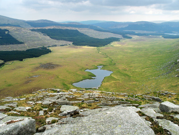
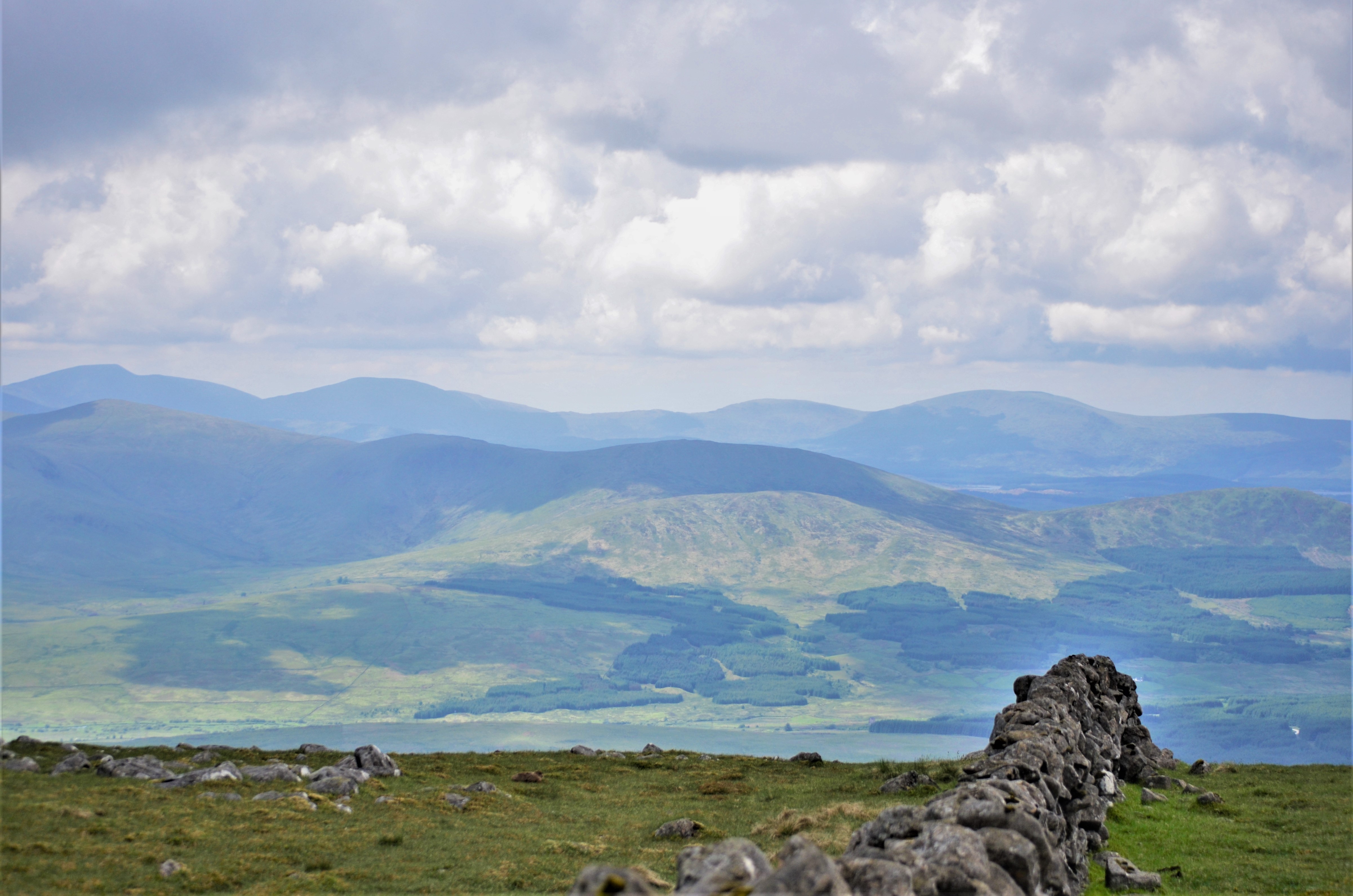
White Hill is a prominent hill located in Kirkcudbrightshire, in the south-western region of Scotland. Standing at an elevation of 265 meters (869 feet), it is a notable landmark in the area. The hill is situated near the town of Gatehouse of Fleet, offering breathtaking views of the surrounding countryside.
White Hill is characterized by its gently sloping terrain and is covered in lush green vegetation, including grasses, heather, and scattered trees. Its relatively low height makes it easily accessible for hikers and nature enthusiasts, attracting both locals and tourists alike. The hill provides an excellent vantage point to observe the diverse wildlife that inhabits the region, such as deer, rabbits, and various bird species.
The hill's name, "White Hill," is believed to originate from the white appearance it takes on during the winter months, when it becomes covered in snow. This striking contrast against the surrounding landscape adds to its visual appeal.
Visitors can explore White Hill by following well-marked walking trails that lead to its summit. Along the way, they can enjoy the tranquility of the countryside and experience the beauty of the Scottish Highlands. On a clear day, the panoramic views from the top of the hill extend across the rolling hills, farmland, and nearby lochs, providing visitors with a picturesque glimpse of Kirkcudbrightshire's natural splendor.
Overall, White Hill is a captivating natural feature that offers a peaceful retreat for those seeking to immerse themselves in the beauty of the Scottish countryside.
If you have any feedback on the listing, please let us know in the comments section below.
White Hill Images
Images are sourced within 2km of 55.146045/-4.2917242 or Grid Reference NX5485. Thanks to Geograph Open Source API. All images are credited.


White Hill is located at Grid Ref: NX5485 (Lat: 55.146045, Lng: -4.2917242)
Unitary Authority: Dumfries and Galloway
Police Authority: Dumfries and Galloway
What 3 Words
///linguists.shifting.masses. Near Bellsbank, East Ayrshire
Nearby Locations
Related Wikis

Rhinns of Kells
The Rhinns of Kells are a range of hills in the Galloway Hills range, part of the Southern Uplands of Scotland. The most easterly of three parallel ridges...
Corserine
Corserine is a hill in the Rhinns of Kells, a sub-range of the Galloway Hills range, part of the Southern Uplands of Scotland. The highest point of the...

Waukers Linn
Waukers Linn is a waterfall on Polharrow Burn in Dumfries and Galloway, Scotland. == See also == Waterfalls of Scotland == References ==

Polharrow Burn
Polharrow Burn is a small watercourse in Dumfries and Galloway, Scotland, in the historic county of Kirkcudbrightshire. It rises in Loch Harrow and flows...

Carsphairn
Carsphairn (Scottish Gaelic: An Còrsa Feàrna) is a village in the historic county of Kirkcudbrightshire in Dumfries and Galloway, Scotland. It is located...

Earlstoun Castle
Earlstoun Castle, sometimes spelled Earlston Castle, is a derelict tower house near St John's Town of Dalry in Dumfries and Galloway, Scotland. Built in...
Silver Flowe
Silver Flowe is an area of patterned blanket mire in the Galloway Hills, in Dumfries and Galloway, Scotland. Located around 16 km north northeast of Newton...
Galloway Hills
The Galloway Hills are part of the Southern Uplands of Scotland, and form the northern boundary of western Galloway. They lie within the bounds of the...
Have you been to White Hill?
Leave your review of White Hill below (or comments, questions and feedback).