Hinton Cross

Settlement in Gloucestershire Wychavon

England

Hinton Cross

Bridge over the River Isbourne Bridge over the River Isbourne at Hinton in the Green.
Bridge over the River Isbourne Credit: Philip Halling

Hinton Cross is a small village located in the county of Gloucestershire, England. Situated approximately 6 miles northeast of the market town of Chipping Campden, Hinton Cross is nestled amidst the picturesque countryside of the Cotswolds. The village is part of the larger parish of Hinton on the Green, which encompasses several other nearby hamlets.

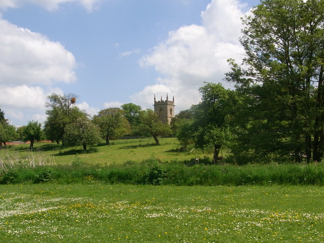
Hinton Cross is characterized by its charming rural setting and tranquil atmosphere. The village is surrounded by rolling hills, lush green fields, and meandering streams, offering residents and visitors alike a peaceful retreat from the hustle and bustle of city life. The area is renowned for its natural beauty and is a popular destination for outdoor enthusiasts, with opportunities for hiking, cycling, and horseback riding.

The village itself is small, with a close-knit community of around 200 residents. It features a mix of traditional Cotswold stone cottages and more modern houses, blending old-world charm with contemporary living. Despite its size, Hinton Cross boasts a strong sense of community spirit, with regular social events and activities organized by local groups.

Although Hinton Cross does not have its own school or shops, the village is in close proximity to nearby towns and villages that provide access to essential amenities. The nearest primary school is in nearby Hinton on the Green, while secondary education is available in Chipping Campden and other surrounding towns.

Overall, Hinton Cross offers a peaceful and idyllic setting for those seeking a tranquil countryside lifestyle, while still being within easy reach of larger towns and cities in Gloucestershire.

If you have any feedback on the listing, please let us know in the comments section below.
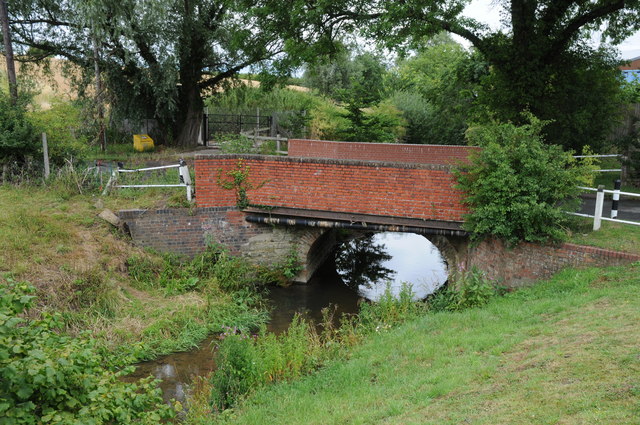
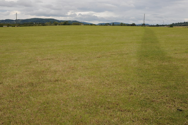
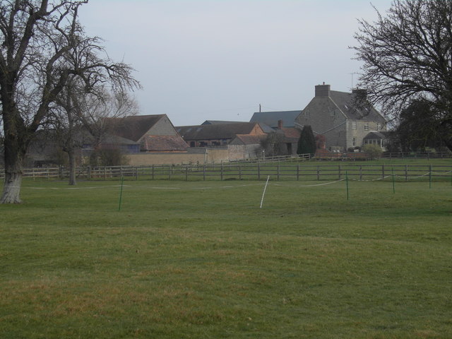
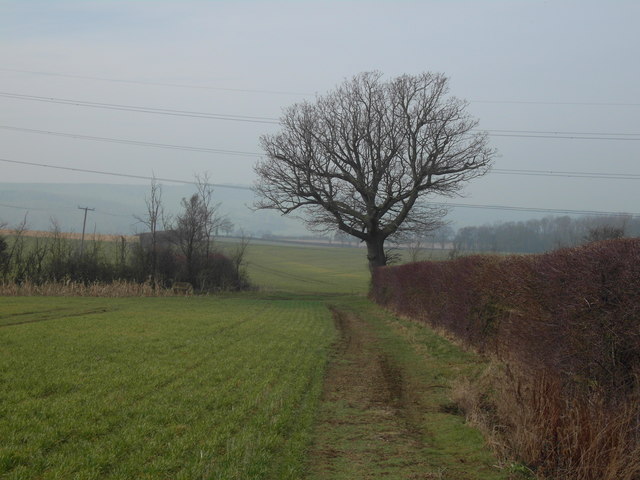
Hinton Cross Images

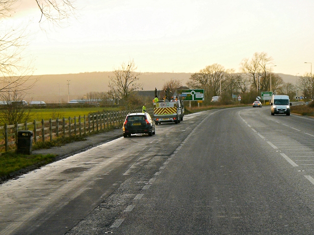
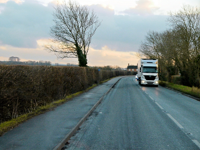
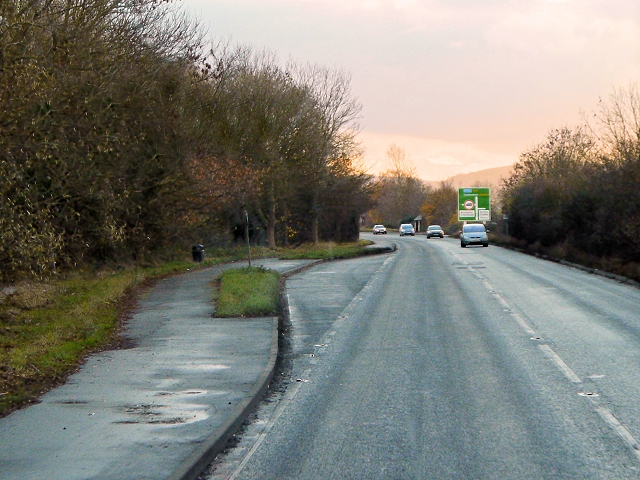
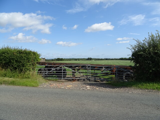
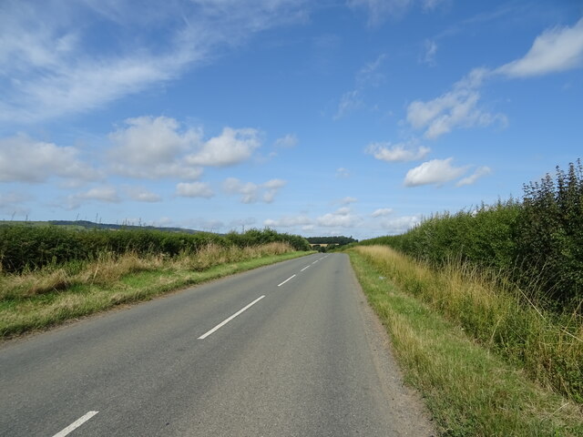
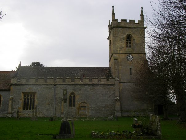
Images are sourced within 2km of 52.058374/-1.9576574 or Grid Reference SP0340. Thanks to Geograph Open Source API. All images are credited.

Bridge over the River Isbourne Bridge over the River Isbourne at Hinton in the Green.
Bridge over the River Isbourne
Bridge over the River Isbourne at Hinton in the Green.
Field beside Ballard's Farm A footpath to Ashton under Hill crosses this field beside Ballard's Farm to the west of Hinton in the Green.  On the horizon are a number of Cotswold outlier hills.
Field beside Ballard's Farm
A footpath to Ashton under Hill crosses this field beside Ballard's Farm to the west of Hinton in the Green. On the horizon are a number of Cotswold outlier hills.
Ballard's Farm
Ballard's Farm
Late winter on Ballard's Farm This isolated tree will soon be clothed in fresh greenery
Late winter on Ballard's Farm
This isolated tree will soon be clothed in fresh greenery
A46 south of Evesham
Hinton Church from just upstream of Hinton Mill
A46, Layby South of Evesham The A46 is an important cross-country route which runs from the West Country to the North Sea.  It starts to the east of Bath in Somerset and ends in Cleethorpes in North East Lincolnshire.  It is no longer a continuous route as large portions of the old (1923) road have been lost, bypassed, or replaced by motorway development. For more detail, see <span class="nowrap"><a title="http://en.wikipedia.org/wiki/A46_road" rel="nofollow ugc noopener" href="http://en.wikipedia.org/wiki/A46_road">Link</a><img style="margin-left:2px;" alt="External link" title="External link - shift click to open in new window" src="https://s1.geograph.org.uk/img/external.png" width="10" height="10"/></span> (Wikipedia Article).
A46, Layby South of Evesham
The A46 is an important cross-country route which runs from the West Country to the North Sea. It starts to the east of Bath in Somerset and ends in Cleethorpes in North East Lincolnshire. It is no longer a continuous route as large portions of the old (1923) road have been lost, bypassed, or replaced by motorway development. For more detail, see LinkExternal link (Wikipedia Article).
A46, Cheltenham Road The A46 is an important cross-country route which runs from the West Country to the North Sea.  It starts to the east of Bath in Somerset and ends in Cleethorpes in North East Lincolnshire.  It is no longer a continuous route as large portions of the old (1923) road have been lost, bypassed, or replaced by motorway development. For more detail, see <span class="nowrap"><a title="http://en.wikipedia.org/wiki/A46_road" rel="nofollow ugc noopener" href="http://en.wikipedia.org/wiki/A46_road">Link</a><img style="margin-left:2px;" alt="External link" title="External link - shift click to open in new window" src="https://s1.geograph.org.uk/img/external.png" width="10" height="10"/></span> (Wikipedia Article).
A46, Cheltenham Road
The A46 is an important cross-country route which runs from the West Country to the North Sea. It starts to the east of Bath in Somerset and ends in Cleethorpes in North East Lincolnshire. It is no longer a continuous route as large portions of the old (1923) road have been lost, bypassed, or replaced by motorway development. For more detail, see LinkExternal link (Wikipedia Article).
A46, Layby near Hinton Cross The A46 is an important cross-country route which runs from the West Country to the North Sea.  It starts to the east of Bath in Somerset and ends in Cleethorpes in North East Lincolnshire.  It is no longer a continuous route as large portions of the old (1923) road have been lost, bypassed, or replaced by motorway development. For more detail, see <span class="nowrap"><a title="http://en.wikipedia.org/wiki/A46_road" rel="nofollow ugc noopener" href="http://en.wikipedia.org/wiki/A46_road">Link</a><img style="margin-left:2px;" alt="External link" title="External link - shift click to open in new window" src="https://s1.geograph.org.uk/img/external.png" width="10" height="10"/></span> (Wikipedia Article).
A46, Layby near Hinton Cross
The A46 is an important cross-country route which runs from the West Country to the North Sea. It starts to the east of Bath in Somerset and ends in Cleethorpes in North East Lincolnshire. It is no longer a continuous route as large portions of the old (1923) road have been lost, bypassed, or replaced by motorway development. For more detail, see LinkExternal link (Wikipedia Article).
Hinton railway station (site), Worcestershire Opened in 1864 by the Midland Railway on the "Gloucester Loop" line from Evesham to Gloucester, this station closed in 1963.
View along the approach road towards the forecourt. The railway ran left to right behind the building.
Hinton railway station (site), Worcestershire
Opened in 1864 by the Midland Railway on the "Gloucester Loop" line from Evesham to Gloucester, this station closed in 1963. View along the approach road towards the forecourt. The railway ran left to right behind the building.
The Glebe Houses, Hinton Cross.
The Glebe
Houses, Hinton Cross.
A46 approaching Hinton Cross Looking north.
A46 approaching Hinton Cross
Looking north.
Minor road, Hinton Cross Towards Childswickham.
Minor road, Hinton Cross
Towards Childswickham.
Old Barn, The Villa
Old Barn, The Villa
Footpath to Hinton on the Green
National Cycle Route 41 Towards Elmley Castle.
National Cycle Route 41
Towards Elmley Castle.
Blocked field entrance off National Cycle Route 41 Blocked by an old trailer.
Blocked field entrance off National Cycle Route 41
Blocked by an old trailer.
National Cycle Route 41 Towards Elmley Castle.
National Cycle Route 41
Towards Elmley Castle.
Show me another place!

Hinton Cross is located at Grid Ref: SP0340 (Lat: 52.058374, Lng: -1.9576574)

Administrative County: Worcestershire

District: Wychavon

Police Authority: West Mercia

What 3 Words

///gangs.migrants.scoping. Near Evesham, Worcestershire

Nearby Locations

Hinton Cross

Related Wikis

Hinton on the Green

Hinton on the Green is a village and civil parish in the Wychavon district of Worcestershire in England. It is situated at the foot of Bredon Hill, about...

Hinton railway station (England)

Hinton railway station was a station on the Midland Railway between Tewkesbury and Evesham, England. It opened 1 October 1864 by the Midland Railway. The...

Sedgeberrow

Sedgeberrow is a village and civil parish in the Wychavon district of Worcestershire, England, about 3 miles (4.8 km) south of Evesham. It stands beside...

Evesham United F.C.

Evesham United Football Club are an English football club based in Evesham, Worcestershire. They reached the first round proper of the FA Cup for the first...

Nearby Amenities

Located within 500m of 52.058374,-1.9576574
Bus Stop
Hinton Cross
Bus: yes
Naptan AtcoCode: 2000G072702
Naptan Bearing: S
Naptan CommonName: Hinton Cross
Naptan Indicator: opp
Naptan Landmark: Shelter
Naptan NaptanCode: wocdwmwg
Naptan Street: A46
Naptan Verified: no
Public Transport: platform
Source: naptan_import
Lat/Long: 52.0609996/-1.956976
Bus Stop
Hinton Cross
Bus: yes
Naptan AtcoCode: 2000G082300
Naptan Bearing: N
Naptan CommonName: Hinton Cross
Naptan Indicator: Adj
Naptan Landmark: Shelter
Naptan NaptanCode: wocdgjpt
Naptan Street: A46
Naptan Verified: no
Public Transport: platform
Shelter: yes
Source: naptan_import
Lat/Long: 52.0610153/-1.9572328
Hinton Cross
Place: locality
Lat/Long: 52.0606427/-1.9562346
Barrier: stile
Lat/Long: 52.0585274/-1.9534627
Crossing
Kerb: flush
Lat/Long: 52.0592278/-1.9566239
Phone
Check Date: 2022-03-06
Emergency: phone
Lat/Long: 52.0573443/-1.9565911
Fixme: check on ground
Lat/Long: 52.0580122/-1.9599653
Kerb: raised
Lat/Long: 52.0556636/-1.9583937
Parsons Brake
Power: pole
Transformer: distribution
Voltage Primary: 11000
Lat/Long: 52.0589606/-1.9522566
Power: pole
Lat/Long: 52.0592875/-1.9533194
Power: pole
Lat/Long: 52.0596264/-1.954411
Power: pole
Lat/Long: 52.0601335/-1.9560036
Newhouse Farm House
Power: pole
Transformer: distribution
Voltage Primary: 11000
Lat/Long: 52.0575777/-1.9561659
Material: wood
Power: pole
Lat/Long: 52.0600894/-1.9570135
Power: pole
Lat/Long: 52.0604036/-1.958482
Hinton East
Location Transition: yes
Power: pole
Transformer: distribution
Voltage Primary: 11000
Lat/Long: 52.060479/-1.9588481
Location Transition: yes
Power: pole
Lat/Long: 52.0609453/-1.9593584
Power: pole
Lat/Long: 52.0611457/-1.960149
Power: pole
Lat/Long: 52.0614736/-1.961471
Power: pole
Lat/Long: 52.061069/-1.9634876
Power: pole
Lat/Long: 52.0603995/-1.9641361
The data included in this document is from www.openstreetmap.org. The data is made available under ODbL.

Have you been to Hinton Cross?

Leave your review of Hinton Cross below (or comments, questions and feedback).