Brown Hill
Hill, Mountain in Renfrewshire
Scotland
Brown Hill

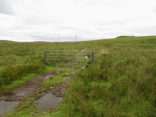
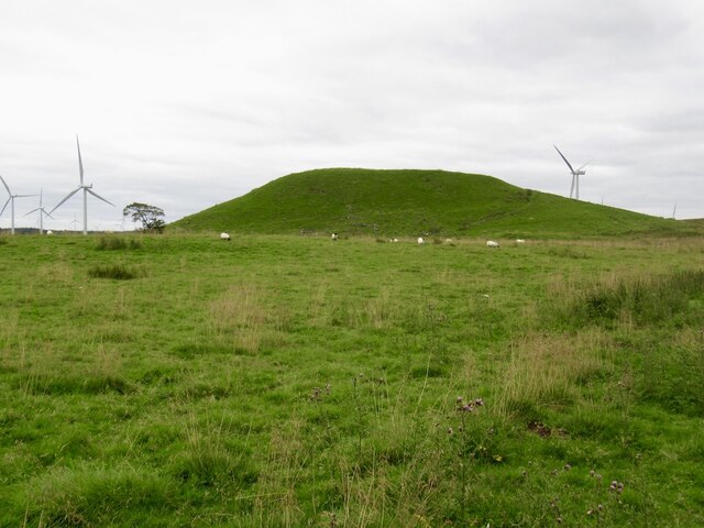
Brown Hill is a prominent hill located in the county of Renfrewshire, Scotland. It is situated approximately 6 miles south of the town of Paisley and stands at an elevation of around 475 feet (145 meters) above sea level. The hill is part of the wider Gleniffer Braes Country Park, a popular recreational area known for its scenic beauty and diverse wildlife.
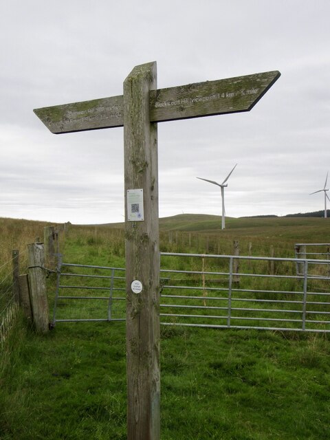
Brown Hill offers breathtaking panoramic views of the surrounding countryside, including the nearby towns of Paisley, Johnstone, and Elderslie. On a clear day, visitors can also catch glimpses of the distant Clyde Estuary and even the iconic skyline of Glasgow. The hill is easily accessible, with several walking trails and footpaths leading to its summit, allowing visitors to enjoy a leisurely stroll or more challenging hike.
The hill itself is characterized by its gentle slopes and lush greenery, adorned with a variety of plant species, including heather, gorse, and bracken. The area is home to a rich biodiversity, with numerous bird species such as buzzards, kestrels, and pheasants frequently spotted in the vicinity. Brown Hill also boasts a diverse range of wildlife, including rabbits, foxes, and deer.
For nature enthusiasts and outdoor lovers, Brown Hill provides an ideal escape from urban life, offering a tranquil setting for picnics, nature walks, and birdwatching. Its strategic location within Gleniffer Braes Country Park enhances its appeal, as visitors can explore the park's other attractions, including waterfalls, woodland areas, and a network of cycling paths.
If you have any feedback on the listing, please let us know in the comments section below.
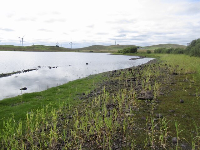
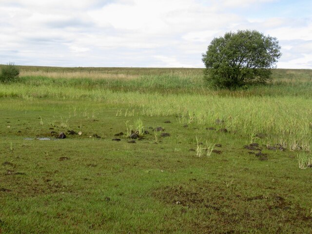
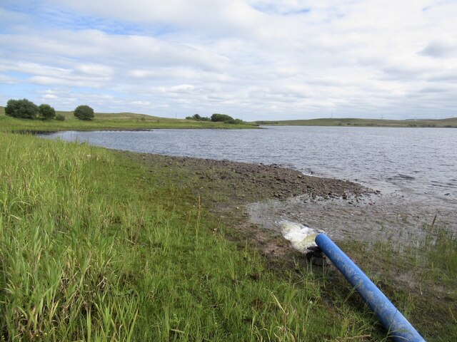
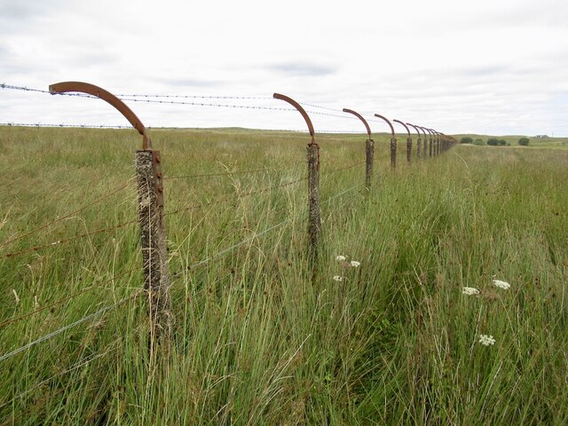
Brown Hill Images
Images are sourced within 2km of 55.709872/-4.331512 or Grid Reference NS5348. Thanks to Geograph Open Source API. All images are credited.


Brown Hill is located at Grid Ref: NS5348 (Lat: 55.709872, Lng: -4.331512)
Unitary Authority: East Renfrewshire
Police Authority: Greater Glasgow
What 3 Words
///stone.cope.torch. Near Eaglesham, East Renfrewshire
Nearby Locations
Related Wikis
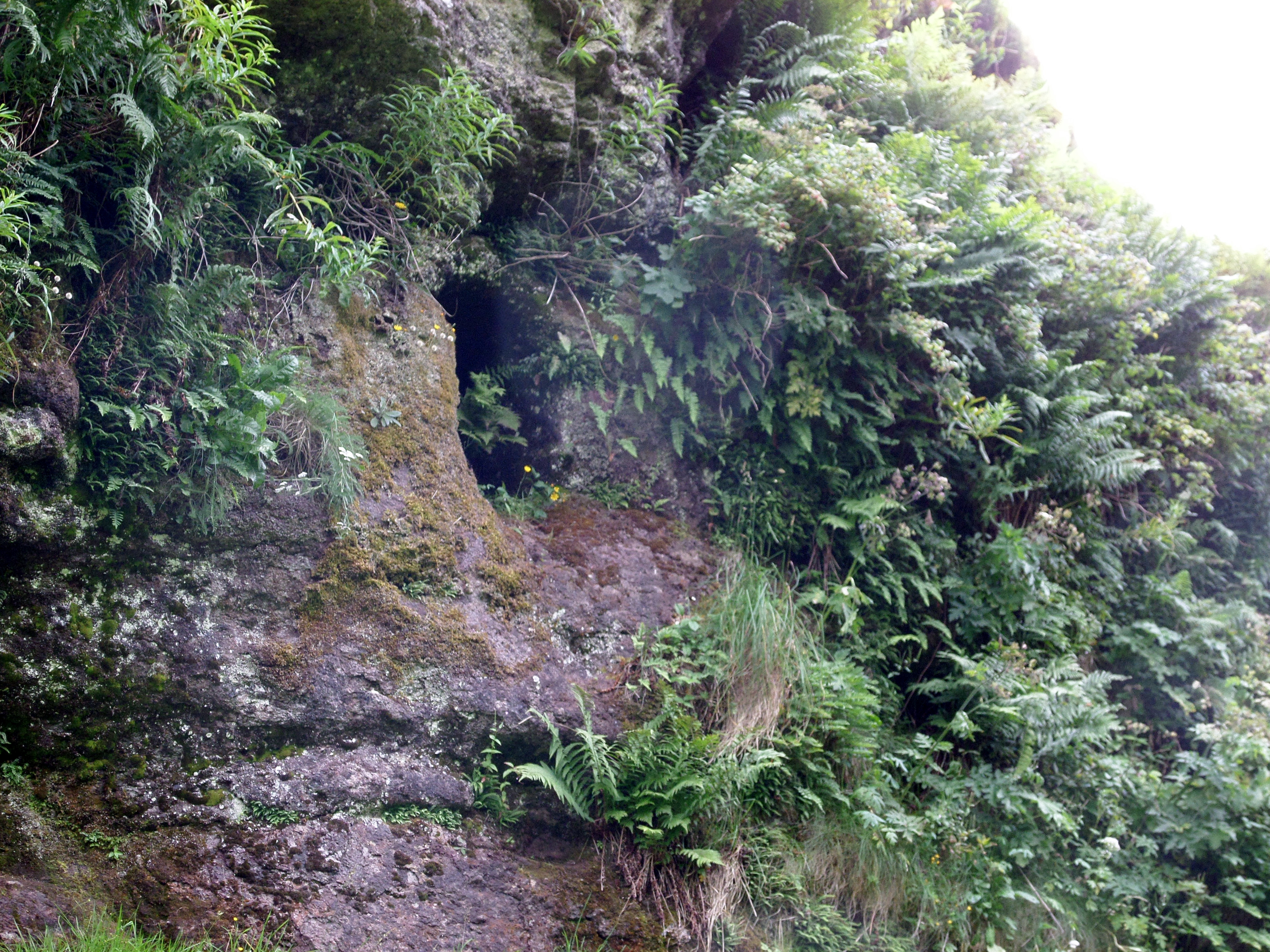
Dunton Cove
Dunton Cove or the Covenanters' Cave is an artificial cave in a craggy outcrop of rocks overlooking the Craufurdland Water just below the confluence of...

Eaglesham
Eaglesham ( EE-gəl-səm) is a village in East Renfrewshire, Scotland, situated about 10 miles (16 km) south of Glasgow, 3 miles (5 km) southeast of Newton...

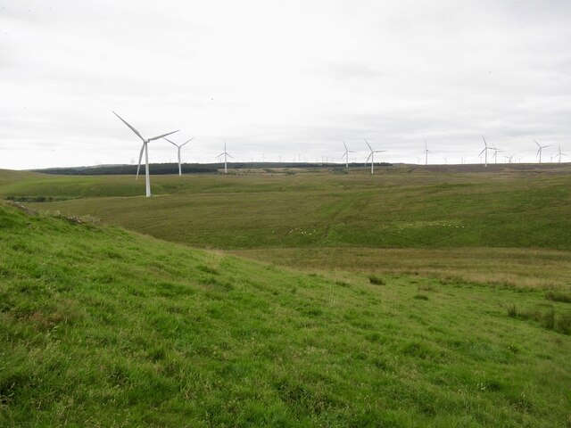
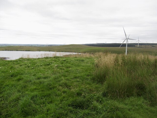
Whitelee Wind Farm
Whitelee Wind Farm is a windfarm on the Eaglesham moor in Scotland. The main visitor centre is located in East Renfrewshire, but the majority of turbines...
Millhall
Millhall is a hamlet in East Renfrewshire, in the Central Lowlands of Scotland. It lies 0.8 miles (1.3 km) southeast of Eaglesham, 8.3 miles (13.4 km)...
Related Videos

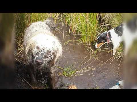
Wind Farm, Windy?! No way 😂 | #labradoodle #hiking #walking
In this video, we take our dog, Ollie, for a walk at Whitlee Wind Farm Visitors Centre, south of Glasgow. We walk 4 miles along the ...
Glorious September day walking #atworkwewalk
walking with Laura and her 5 terriers and 3 client dogs... the dogs had a great day messing around in the water...
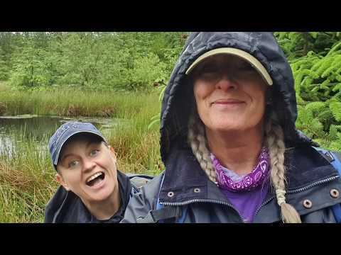
Dafties on tour.. #atworkwewalk
One of my walks with my amazing mate laura and her dogs.
walk at whitelee windfarm with @atworkwewalk
A walk with my friend and her dogs, the sun left as soon as we arrived and it rained for the full walk.. nearly 6 miles.. but we kept ...
Nearby Amenities
Located within 500m of 55.709872,-4.331512Have you been to Brown Hill?
Leave your review of Brown Hill below (or comments, questions and feedback).