Greenfield Hill

Hill, Mountain in Renfrewshire

Scotland

Greenfield Hill

Whitelee windfarm service entrance The picture looks out onto the public road from the service road that goes into the windfarm and also goes to Lochgoin Farm.
Whitelee windfarm service entrance Credit: Alec MacKinnon

Greenfield Hill is a prominent hill located in the Renfrewshire region of Scotland. Situated near the town of Renfrew, it is a notable feature of the local landscape. The hill is part of the larger Southern Highlands of Scotland, which are renowned for their scenic beauty and outdoor recreational opportunities.

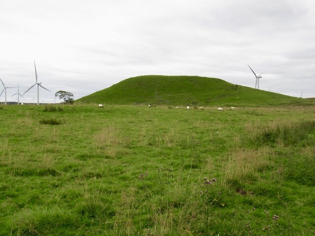
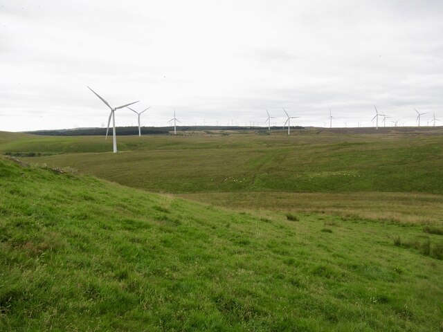
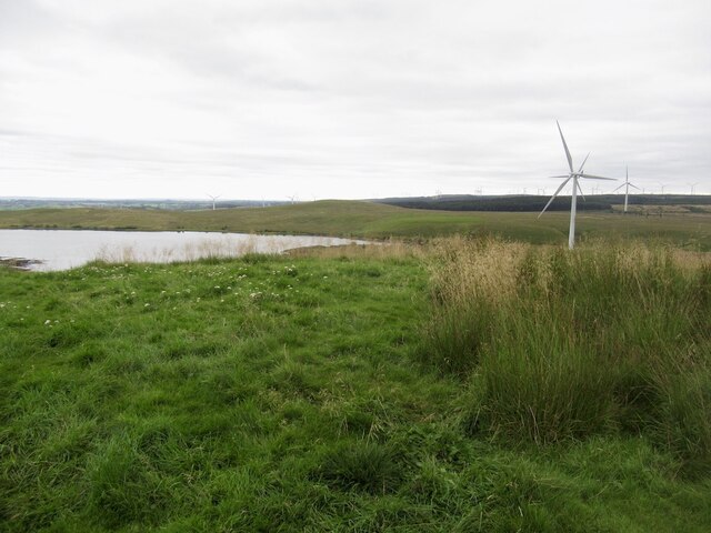
At an elevation of approximately 400 meters (1,312 feet), Greenfield Hill offers breathtaking panoramic views of the surrounding countryside. Its distinctive shape and lush greenery make it a popular destination for hikers, nature enthusiasts, and photographers. The hill is covered in a variety of vegetation, including heather, grasses, and scattered trees.

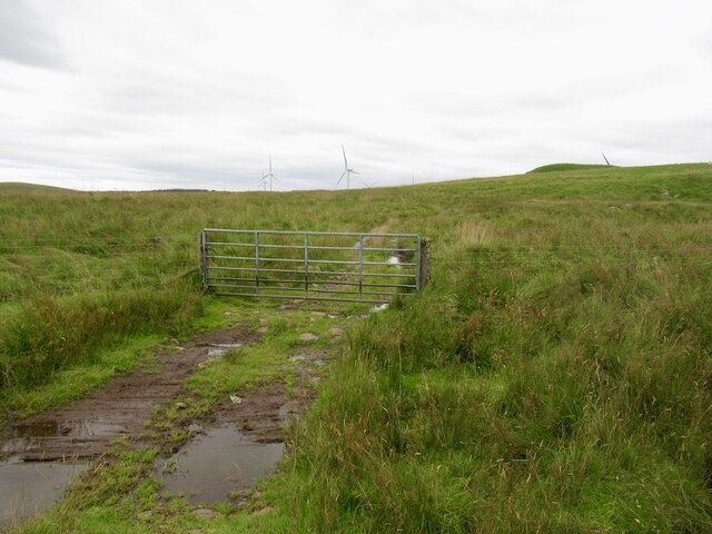
Greenfield Hill is easily accessible by a network of well-maintained trails, providing visitors with an opportunity to explore its natural wonders. The more adventurous can opt for challenging routes to the summit, while others may prefer leisurely walks along the lower slopes. The hill's diverse wildlife, including birds and mammals, further enhances its appeal.

The hill also holds historical significance. The remains of an Iron Age hillfort can be found at the summit, serving as a reminder of the area's ancient past. Archaeological discoveries in the vicinity have shed light on the hill's occupation during different periods.

Overall, Greenfield Hill is a captivating destination for those seeking outdoor adventures, breathtaking views, and a connection to both nature and history. Its idyllic surroundings and rich heritage make it a must-visit location in Renfrewshire.

If you have any feedback on the listing, please let us know in the comments section below.

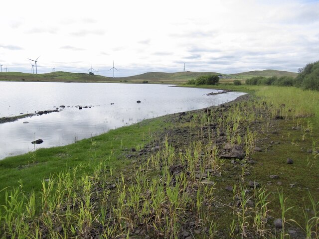
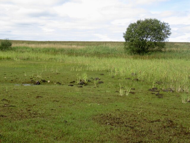
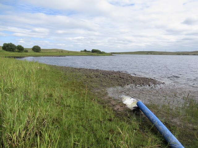
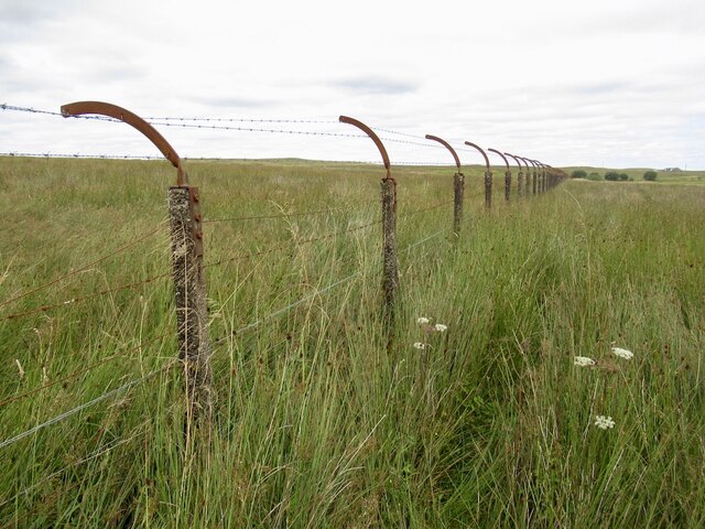
Greenfield Hill Images

Images are sourced within 2km of 55.71565/-4.3330186 or Grid Reference NS5349. Thanks to Geograph Open Source API. All images are credited.

Whitelee windfarm service entrance The picture looks out onto the public road from the service road that goes into the windfarm and also goes to Lochgoin Farm.
Whitelee windfarm service entrance
The picture looks out onto the public road from the service road that goes into the windfarm and also goes to Lochgoin Farm.
Fence, Dunwan Reservoir A horror, later to give problems.
Fence, Dunwan Reservoir
A horror, later to give problems.
Recursive signage, Dunwan Dam There should be a sign warning about the Reservoir Warning Sign
Recursive signage, Dunwan Dam
There should be a sign warning about the Reservoir Warning Sign
Road, Dunwan Dam
Road, Dunwan Dam
Beach, Dunwan Dam Easier going than the surrounding marsh.
Beach, Dunwan Dam
Easier going than the surrounding marsh.
Shoreline, Dunwan Dam
Inflow, Dunwan Dam There are three pipes discharging water and they can be seen from the Eaglesham Moor road. The water is probably from one or more of the reservoirs to the north.
Inflow, Dunwan Dam
There are three pipes discharging water and they can be seen from the Eaglesham Moor road. The water is probably from one or more of the reservoirs to the north.
Fence, Dunwan Dam A fearsome obstacle, but it is in poor repair and I could squeeze through. Set in marshland which was a much tougher opponent.

Old maps show a track here, but there is nothing on the ground but pain. The track has made it onto the Naturescot core paths map but as is common in the East Renfrewshire council area all but impassible. A brutal struggle.
Fence, Dunwan Dam
A fearsome obstacle, but it is in poor repair and I could squeeze through. Set in marshland which was a much tougher opponent. Old maps show a track here, but there is nothing on the ground but pain. The track has made it onto the Naturescot core paths map but as is common in the East Renfrewshire council area all but impassible. A brutal struggle.
Gate below Braehead Hill My struggle from Dunwan was over - waymarked paths, orienteering map, just spoiled on the Whitelees Wind Farm.
Gate below Braehead Hill
My struggle from Dunwan was over - waymarked paths, orienteering map, just spoiled on the Whitelees Wind Farm.
Dunwan Hill Looks like a bing, but is natural. Carries a hill fort and fine view.
Dunwan Hill
Looks like a bing, but is natural. Carries a hill fort and fine view.
Dunwan moorland In the Whitelees Wind Farm
Dunwan moorland
In the Whitelees Wind Farm
Summit, Dunwan Hill At last I have Dunwan Hill. Off now to do twa.   Dunwan Dam in the background.
Summit, Dunwan Hill
At last I have Dunwan Hill. Off now to do twa. Dunwan Dam in the background.
Dunwan Dam Reservoir seen from Dunwan Hill.
Dunwan Dam
Reservoir seen from Dunwan Hill.
Signpost, Whitelees Wind Farm
Blackwoodhill Ruined farm.
Blackwoodhill
Ruined farm.
Summit area, Blackwood Hill There is a toposcope on another summit candidate nearby.
Summit area, Blackwood Hill
There is a toposcope on another summit candidate nearby.
Toposcope, Blackwood Hill At the end of a path in the Whitelee Wind Farm.
Toposcope, Blackwood Hill
At the end of a path in the Whitelee Wind Farm.
Toposcope, Blackwood Hill At the end of a path in the Whitelee Wind Farm.
Toposcope, Blackwood Hill
At the end of a path in the Whitelee Wind Farm.
Show me another place!

Greenfield Hill is located at Grid Ref: NS5349 (Lat: 55.71565, Lng: -4.3330186)

Unitary Authority: East Renfrewshire

Police Authority: Greater Glasgow

What 3 Words

///sleep.tells.cracks. Near Eaglesham, East Renfrewshire

Nearby Locations

Greenfield Hill

Related Wikis

Eaglesham

Eaglesham ( EE-gəl-səm) is a village in East Renfrewshire, Scotland, situated about 10 miles (16 km) south of Glasgow, 3 miles (5 km) southeast of Newton...

Millhall

Millhall is a hamlet in East Renfrewshire, in the Central Lowlands of Scotland. It lies 0.8 miles (1.3 km) southeast of Eaglesham, 8.3 miles (13.4 km)...
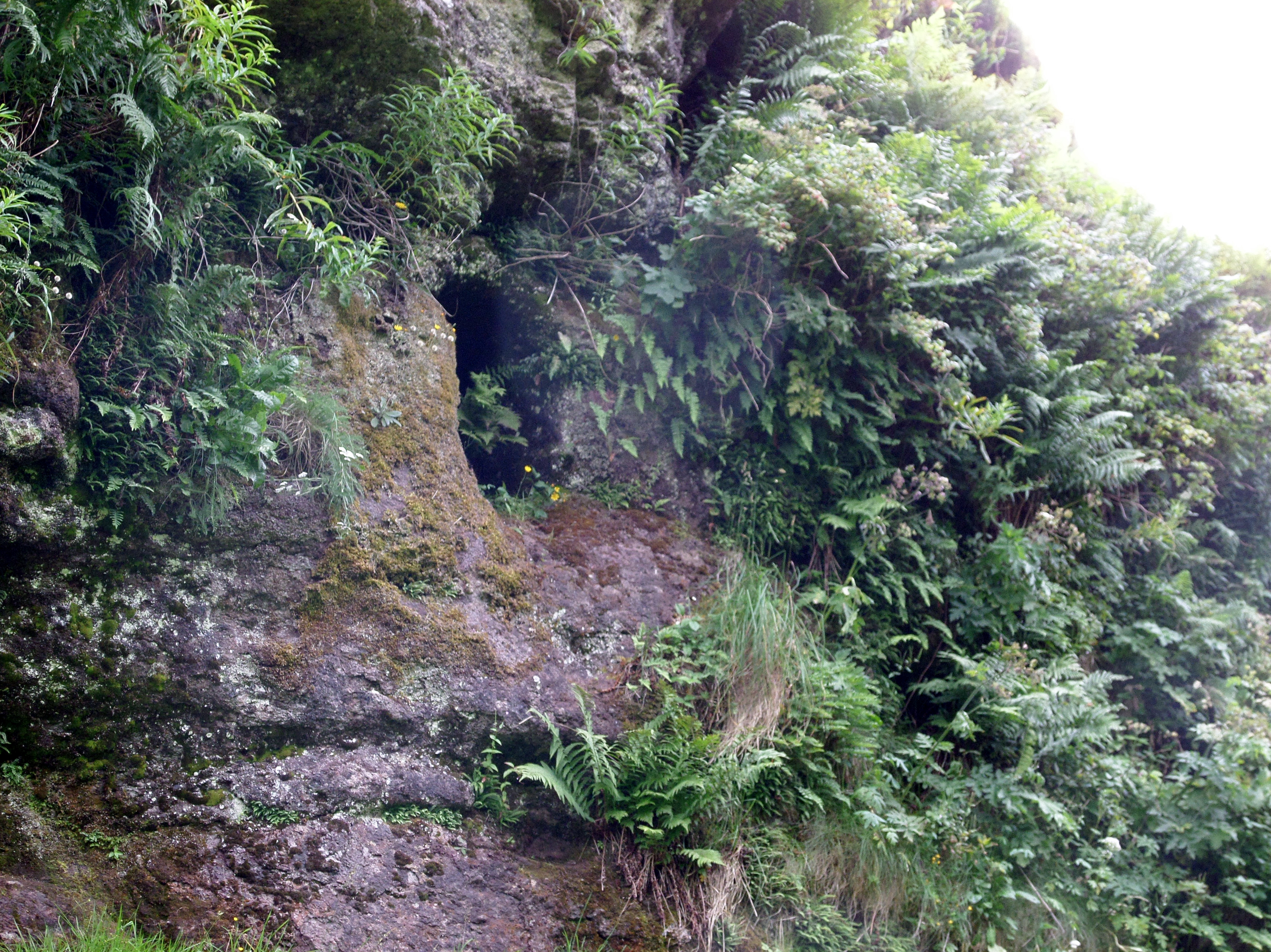
Dunton Cove

Dunton Cove or the Covenanters' Cave is an artificial cave in a craggy outcrop of rocks overlooking the Craufurdland Water just below the confluence of...

A726 road

The A726 road in Scotland is a major route with several distinct sections with different characteristics and names; owing to its stages of construction...
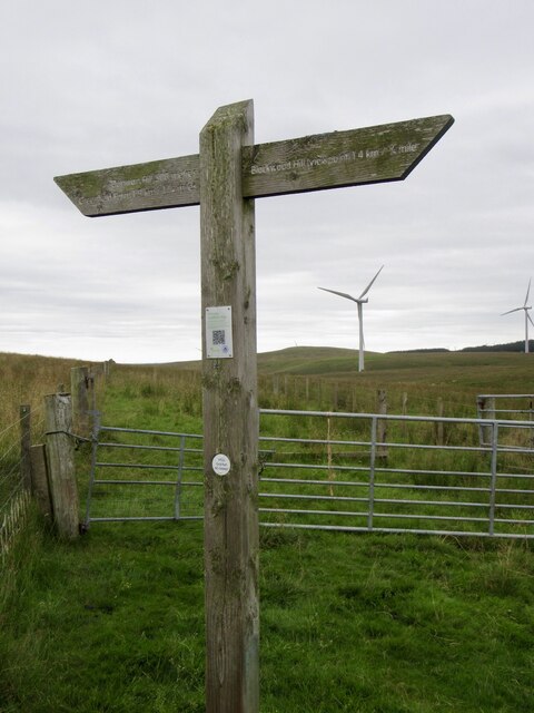
Whitelee Wind Farm

Whitelee Wind Farm is a windfarm on the Eaglesham moor in Scotland. The main visitor centre is located in East Renfrewshire, but the majority of turbines...

Mearns Castle High School

Mearns Castle High School is a secondary school situated on Waterfoot Road in Newton Mearns, East Renfrewshire, Scotland roughly seven miles from Glasgow...
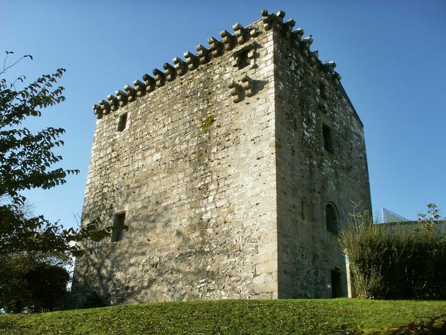
Mearns Castle

Mearns Castle is a 15th-century tower house in Newton Mearns, East Renfrewshire, south of Glasgow, Scotland. It is a Category A listed building. The castle...

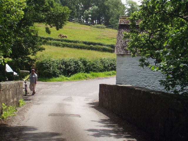
Waterfoot, East Renfrewshire

Waterfoot (Scots: Watterfit) is a village in East Renfrewshire, Scotland. It is on the B767 road between Clarkston and Eaglesham, which are 1 mile (1.6...

Nearby Amenities

Located within 500m of 55.71565,-4.3330186
68
Generator Method: wind_turbine
Generator Output Electricity: 2.3 MW
Generator Source: wind
Generator Type: horizontal_axis
Power: generator
Source: bing
Lat/Long: 55.7139699/-4.3293391
Man Made: tower
Lat/Long: 55.7176212/-4.3306493
Greenfield Hill
Natural: peak
Source: OS OpenData
Lat/Long: 55.7183127/-4.3289734
Power: pole
Lat/Long: 55.718014/-4.3298547
Power: pole
Lat/Long: 55.7184388/-4.3285503
Power: pole
Lat/Long: 55.7187991/-4.3274001
The data included in this document is from www.openstreetmap.org. The data is made available under ODbL.

Have you been to Greenfield Hill?

Leave your review of Greenfield Hill below (or comments, questions and feedback).