Benbrack
Hill, Mountain in Ayrshire
Scotland
Benbrack

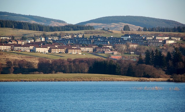
Benbrack is a prominent hill located in the county of Ayrshire, Scotland. It stands at an elevation of 580 meters (1,903 feet) and is part of the Galloway Hills, which are renowned for their scenic beauty and rugged terrain. The hill is situated in the southern part of the Galloway Forest Park, a vast expanse of forested land that spans across Ayrshire and Dumfries and Galloway.
Benbrack offers stunning panoramic views of the surrounding area, including the neighboring hills and valleys. On a clear day, visitors can enjoy breathtaking vistas that stretch as far as the Ailsa Craig island in the Firth of Clyde and even the distant peaks of the Lake District in England. The hill is a popular destination for hillwalkers, hikers, and nature enthusiasts who are drawn to its diverse flora and fauna.
The ascent to the summit of Benbrack is relatively challenging, with steep slopes and rugged paths. However, the reward of reaching the top is well worth the effort, as the views from the summit are truly awe-inspiring. The hill is often shrouded in mist, adding to its mystical allure and creating an atmospheric experience for those who venture to its heights.
Benbrack is a haven for wildlife, with various species inhabiting its slopes and surrounding areas. Visitors may encounter red deer, golden eagles, peregrine falcons, and other bird species, as well as a variety of plant life, including heather and wildflowers.
Overall, Benbrack in Ayrshire is a cherished natural landmark, offering a challenging yet rewarding outdoor experience for those seeking to immerse themselves in Scotland's wild beauty.
If you have any feedback on the listing, please let us know in the comments section below.
Benbrack Images
Images are sourced within 2km of 55.320314/-4.3124751 or Grid Reference NS5305. Thanks to Geograph Open Source API. All images are credited.


Benbrack is located at Grid Ref: NS5305 (Lat: 55.320314, Lng: -4.3124751)
Unitary Authority: East Ayrshire
Police Authority: Ayrshire
What 3 Words
///jigging.whiplash.allergy. Near Bellsbank, East Ayrshire
Nearby Locations
Related Wikis

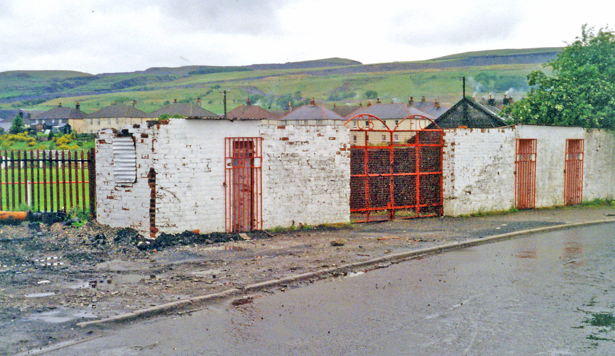
Dalmellington
Dalmellington (Scots: Dawmellinton, Scottish Gaelic: Dail M'Fhaolain) is a market town and civil parish in East Ayrshire, Scotland. In 2001 the village...
Bellsbank
Bellsbank is a village half a mile away from the market town of Dalmellington in East Ayrshire, Scotland. It is the second-highest place in East Ayrshire...
Dalmellington railway station
Dalmellington railway station served the town of Dalmellington, East Ayrshire, Scotland, from 1856 to 1964 on the Ayr and Dalmellington Railway. ��2�...

Doon Academy
Doon Academy is a secondary school in Dalmellington that caters to the local surrounding areas Dalmellington, Patna, Rankinston and Bellsbank. The current...
Have you been to Benbrack?
Leave your review of Benbrack below (or comments, questions and feedback).