Bryn-castell

Hill, Mountain in Caernarfonshire

Wales

Bryn-castell

Transformer House, Pen yr Orsedd Quarry
Transformer House, Pen yr Orsedd Quarry Credit: Chris Andrews

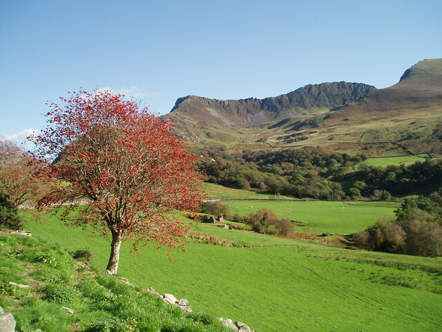
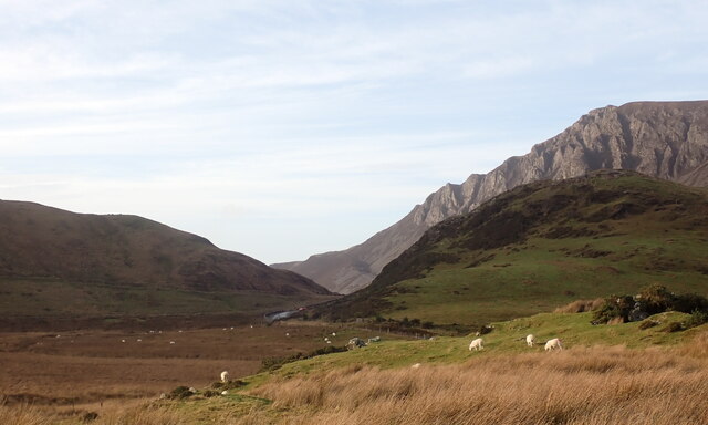
Bryn-castell, located in Caernarfonshire, Wales, is a prominent hill/mountain that stands tall in the picturesque Snowdonia National Park. Rising to an impressive height of approximately 571 meters (1,873 feet), it offers breathtaking panoramic views of the surrounding landscapes.

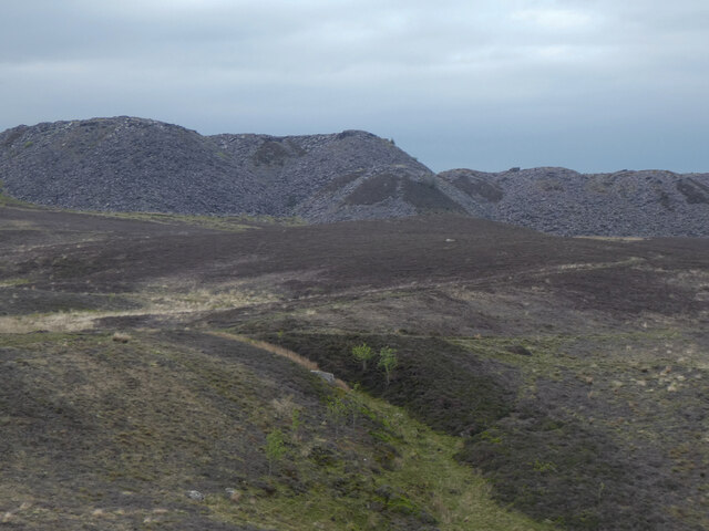
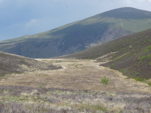
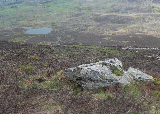
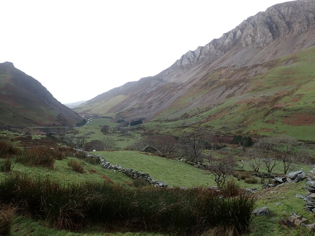
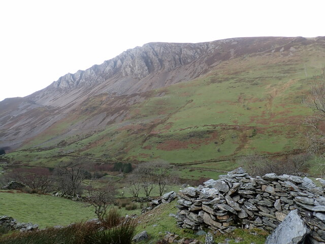
The hill/mountain is characterized by its rugged terrain, with steep slopes covered in rich greenery, heather, and occasional rocky outcrops. It forms part of a challenging range that attracts hikers and climbers of all skill levels, seeking to conquer its challenging ascent.

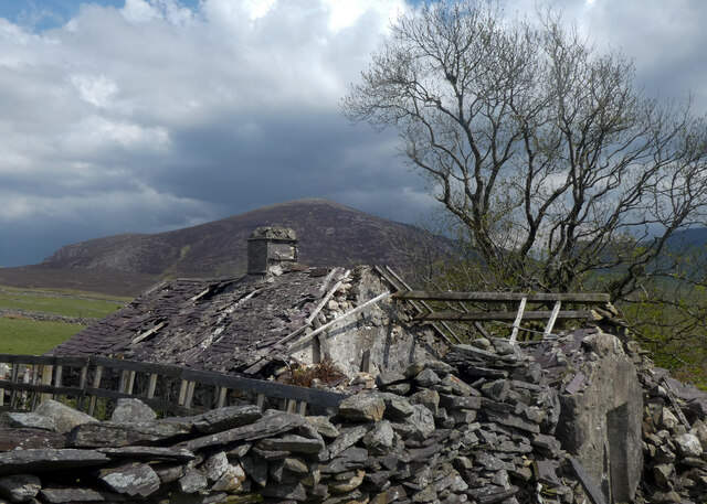
Bryn-castell is renowned for its historical significance, dating back to ancient times. It is believed that the hill was once home to an Iron Age fort, with remnants and earthworks still visible today. These archaeological features add an element of intrigue and fascination for visitors exploring the area.

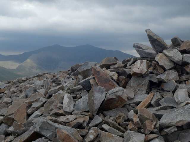
The summit of Bryn-castell provides a vantage point that showcases the stunning beauty of the surrounding landscape. On clear days, one can feast their eyes upon breathtaking views of the Snowdonia peaks, rolling hills, and the shimmering waters of nearby lakes. The hill/mountain is also a haven for wildlife enthusiasts, as it supports a diverse range of flora and fauna, including rare species such as the Snowdon Lily.

Access to Bryn-castell is facilitated by several well-maintained footpaths, making it a popular destination for outdoor enthusiasts. Whether one seeks a challenging hike or a peaceful stroll amidst nature's beauty, Bryn-castell offers an unforgettable experience in the heart of Caernarfonshire's stunning countryside.

If you have any feedback on the listing, please let us know in the comments section below.

Bryn-castell Images

Images are sourced within 2km of 53.071618/-4.1988739 or Grid Reference SH5254. Thanks to Geograph Open Source API. All images are credited.

Transformer House, Pen yr Orsedd Quarry
Above Tal-y-mignedd-isaf
Sheep grazing at Nantlle By the track to Blaen y Garth, close to the main road through the village.
Sheep grazing at Nantlle
By the track to Blaen y Garth, close to the main road through the village.
Tomenydd llechi Moel Tryfan / Moel Tryfan slate tips
Cors fynydd / An upland bog
Adfail ar Foel Tryfan / Ruin on Moel Tryfan
Maen ar Fynydd Mawr / A boulder on The Elephant
Carnedd ar gopa Mynydd Mawr / Cairn on the summit of The Elephant Snowdon is in the background.
Carnedd ar gopa Mynydd Mawr / Cairn on the summit of The Elephant
Snowdon is in the background.
Tal-y-mignedd and Cwmyffynnon, Eryri Tal-y-mignedd Farm, below the peaks Mynydd Drws-y-coed, Trum y Ddysgl and Mynydd Tal-y-mignedd, and the glaciated valley Cwmyffynnon. Ref:PC200070.
Tal-y-mignedd and Cwmyffynnon, Eryri
Tal-y-mignedd Farm, below the peaks Mynydd Drws-y-coed, Trum y Ddysgl and Mynydd Tal-y-mignedd, and the glaciated valley Cwmyffynnon. Ref:PC200070.
Dyffryn Nantlle, Eryri Clogwyn y Barcut (438m), the Dyffryn Nantlle valley and the Craig y Bera cliffs. Ref:PC200076.
Dyffryn Nantlle, Eryri
Clogwyn y Barcut (438m), the Dyffryn Nantlle valley and the Craig y Bera cliffs. Ref:PC200076.
Craig y Bera cliffs, Eryri The Craig y Bera cliffs above the Dyffryn Nantlle valley. Ref:PC200077.
Craig y Bera cliffs, Eryri
The Craig y Bera cliffs above the Dyffryn Nantlle valley. Ref:PC200077.
Craig y Bera, Eryri Bryn Gwyn (291m), in front of the Craig y Bera Cliffs of Mynydd Mawr (698m), viewed from the B4418 road to the west of Rhyd-ddu. Ref:PC200079a2.
Craig y Bera, Eryri
Bryn Gwyn (291m), in front of the Craig y Bera Cliffs of Mynydd Mawr (698m), viewed from the B4418 road to the west of Rhyd-ddu. Ref:PC200079a2.
Derelict building at Pen-yr-Orsedd Quarry Quite possibly a former generator house or electrical sub-station.
Derelict building at Pen-yr-Orsedd Quarry
Quite possibly a former generator house or electrical sub-station.
Path and Blondin tower at Pen-yr-Orsedd Quarry The path leads through the very upper reaches of the quarry. The Blondin tower and aerial ropeway seen here is now the last one still standing at the quarry.
Path and Blondin tower at Pen-yr-Orsedd Quarry
The path leads through the very upper reaches of the quarry. The Blondin tower and aerial ropeway seen here is now the last one still standing at the quarry.
Derelict building at Pen-yr-Orsedd Quarry Quite possibly a former generating house or electricity sub-station.
Derelict building at Pen-yr-Orsedd Quarry
Quite possibly a former generating house or electricity sub-station.
Path through Pen-yr-Orsedd Quarry View down through the upper parts of the quarry. Note the last-remaining still-standing Blondin tower on the right.
Path through Pen-yr-Orsedd Quarry
View down through the upper parts of the quarry. Note the last-remaining still-standing Blondin tower on the right.
The last still-standing Blondin tower at Pen-yr-Orsedd Quarry
Toppled Blondin tower and Blondin at Pen-yr-Orsedd Quarry
Show me another place!

Bryn-castell is located at Grid Ref: SH5254 (Lat: 53.071618, Lng: -4.1988739)

Unitary Authority: Gwynedd

Police Authority: North Wales

What 3 Words

///limelight.submerge.steer. Near Talysarn, Gwynedd

Nearby Locations

Bryn-castell

Related Wikis

Mynydd Mawr

Mynydd Mawr (Welsh for big mountain) is a mountain in Snowdonia, North Wales, approximately 7 km (4.3 mi) west of Snowdon itself, overlooking Llyn Cwellyn...

Alexandra quarry

Alexandra quarry was a slate quarry in North Wales, on the slopes of Moel Tryfan in north Gwynedd. It was part of one of the major slate quarrying regions...

Moel Tryfan

Moel Tryfan (429 m / 1407 ft) is a small mountain near the villages of Rhosgadfan, Y Fron and Betws Garmon, in northern Gwynedd. The higher and more famous...

Ysgol Bronyfoel

Ysgol Bronyfoel was a Welsh daily co-educational primary school. The school was situated in the centre of the village Y Fron, Gwynedd, North Wales. It...

Nearby Amenities

Located within 500m of 53.071618,-4.1988739
Bryn-castell
Place: locality
Lat/Long: 53.0707423/-4.1973277
Power: pole
Lat/Long: 53.0705423/-4.2055838
The data included in this document is from www.openstreetmap.org. The data is made available under ODbL.

Have you been to Bryn-castell?

Leave your review of Bryn-castell below (or comments, questions and feedback).