An Claigionn

Hill, Mountain in Ross-shire

Scotland

An Claigionn

Cille Mhuire Ruined chapel dedicated to St. Maolrubha or, possibly, St. Mary.
Cille Mhuire Credit: Alpin Stewart

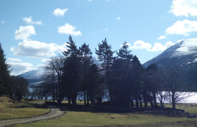
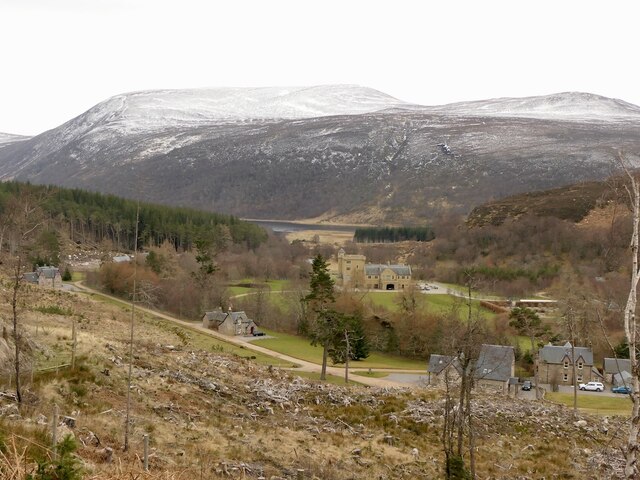
An Claigionn is a prominent hill located in the county of Ross-shire, in the Scottish Highlands. It is situated near the village of Aultbea, on the western coast of Scotland. With an elevation of approximately 450 meters (1476 feet), it is considered a notable mountain in the area.

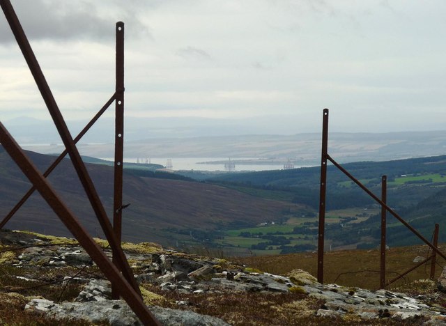
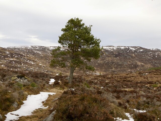
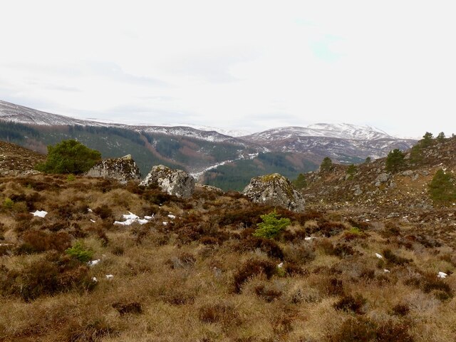
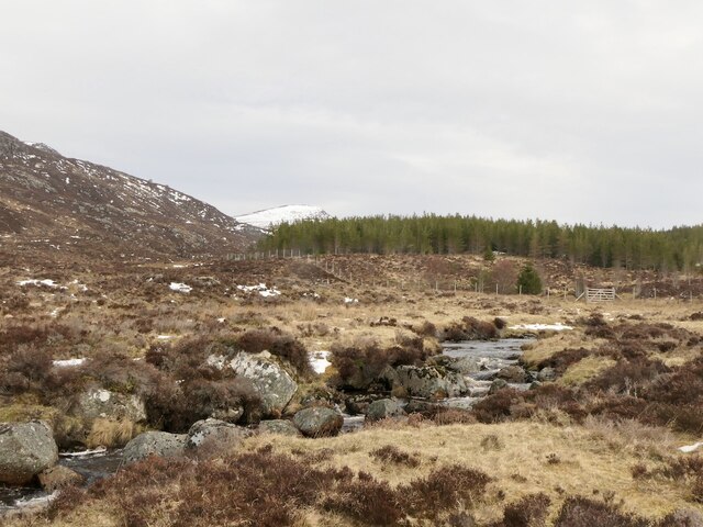
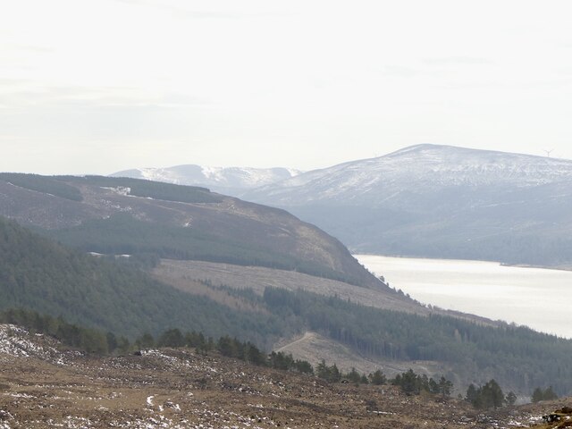
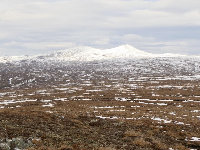
The hill is characterized by its distinctive shape and rugged terrain, making it a popular destination for hikers and outdoor enthusiasts. Its slopes are covered with heather and grass, offering a picturesque landscape that attracts visitors all year round. The summit of An Claigionn provides breathtaking panoramic views of the surrounding countryside, including Loch Ewe and the nearby mountains.

The hill is part of the larger mountain range known as the Torridon Hills, which is famous for its stunning geological features. An Claigionn itself is composed of Torridonian sandstone, displaying the distinctive red and pink hues that are characteristic of the region.

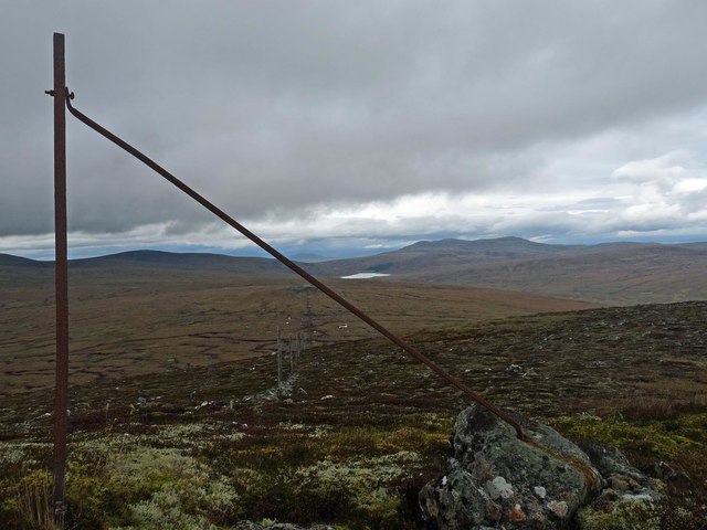
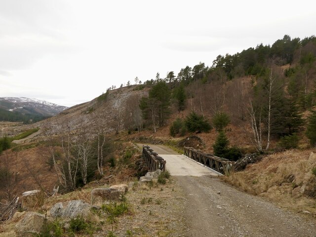
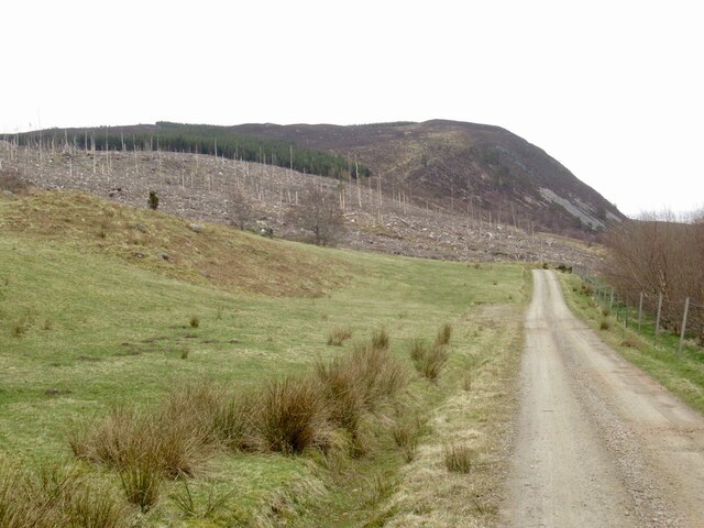
Access to An Claigionn is relatively straightforward, with several footpaths and trails leading to the summit. While the ascent is challenging, it is achievable for most experienced hikers. It is recommended to come prepared with appropriate footwear and clothing, as the weather conditions can be unpredictable, especially at higher altitudes.

In addition to its natural beauty, An Claigionn also holds historical significance, with evidence of ancient settlements and archaeological sites in the surrounding area. Overall, An Claigionn offers a rich blend of natural wonders and cultural heritage, making it a must-visit destination for those exploring the Scottish Highlands.

If you have any feedback on the listing, please let us know in the comments section below.

An Claigionn Images

Images are sourced within 2km of 57.775586/-4.4777782 or Grid Reference NH5278. Thanks to Geograph Open Source API. All images are credited.

Cille Mhuire Ruined chapel dedicated to St. Maolrubha or, possibly, St. Mary.
Cille Mhuire
Ruined chapel dedicated to St. Maolrubha or, possibly, St. Mary.
Fence posts on the summit of Carn Cas nan Gabhar, Ross and Cromarty The OS Name Book of 1848-1852 describes Carn Cas nan Gabhar as, "A hill over which  the boundary between the parishes of Alness and Rosskeen passes.  The name signifies 'Cairn of the Goat's Foot'" and goes on to name the land owners on either side of the fence.
Fence posts on the summit of Carn Cas nan Gabhar, Ross and Cromarty
The OS Name Book of 1848-1852 describes Carn Cas nan Gabhar as, "A hill over which the boundary between the parishes of Alness and Rosskeen passes. The name signifies 'Cairn of the Goat's Foot'" and goes on to name the land owners on either side of the fence.
Fence posts below Carn Cas nan Gabhar, Ross and Cromarty Looking towards oil rigs moored in the Cromarty Firth.

According to the OS Name Book of 1848-1852, the fence follows the boundary between the parishes of Alness and Rosskeen.
Fence posts below Carn Cas nan Gabhar, Ross and Cromarty
Looking towards oil rigs moored in the Cromarty Firth. According to the OS Name Book of 1848-1852, the fence follows the boundary between the parishes of Alness and Rosskeen.
Rocks on the southern slopes of Bad a' Bhàthaich, Ross and Cromarty Looking towards Cnoc an t-Sid Mòr and, to the right, along Strath Rusdale.
Rocks on the southern slopes of Bad a' Bhàthaich, Ross and Cromarty
Looking towards Cnoc an t-Sid Mòr and, to the right, along Strath Rusdale.
Kildermorie Taken from near here: <a href="https://www.geograph.org.uk/photo/235450">NH5278 : Road junction in Kildermorie Forest</a>, the forest has now been felled revealing a fine view up Gleann Mhuire.
Kildermorie
Taken from near here: NH5278 : Road junction in Kildermorie Forest, the forest has now been felled revealing a fine view up Gleann Mhuire.
Kildermorie View from the cleared forest over Kildermorie Lodge (built in the 1990s) towards Meall Mòr.
Kildermorie
View from the cleared forest over Kildermorie Lodge (built in the 1990s) towards Meall Mòr.
Bailey Bridge, Kildermorie On the newish road bypassing the estate buildings on the way to Gleann Mhuire.
Bailey Bridge, Kildermorie
On the newish road bypassing the estate buildings on the way to Gleann Mhuire.
Carn Sònraichte path A path up from Kildermorie, it gets less distinct higher up but is far preferable to the rough going off it.
Carn Sònraichte path
A path up from Kildermorie, it gets less distinct higher up but is far preferable to the rough going off it.
Big boulders, Kildermorie The Kildermorie granites give very rough moorland with numerous large boulders.
Big boulders, Kildermorie
The Kildermorie granites give very rough moorland with numerous large boulders.
Allt Sròn Fhearchair A burn above Gleann Mhuire. At the time there was a bridge here.
Allt Sròn Fhearchair
A burn above Gleann Mhuire. At the time there was a bridge here.
Path Carn Sònraichte A somewhat little used stalker's track with a view over Loch Morie.
Path Carn Sònraichte
A somewhat little used stalker's track with a view over Loch Morie.
View over Loch Morie From the slopes of Carn Sònraichte, a view beyond Kildermorie and down the rather secluded loch. The access road to Kildermorie, so beloved of my suspension can be seen in the forest.

(The road on the Kildermorie Estate is not bad at all and well maintained. However the timber lorries have left their mark on the Forestry Commission section to the east as well as the public road.)
View over Loch Morie
From the slopes of Carn Sònraichte, a view beyond Kildermorie and down the rather secluded loch. The access road to Kildermorie, so beloved of my suspension can be seen in the forest. (The road on the Kildermorie Estate is not bad at all and well maintained. However the timber lorries have left their mark on the Forestry Commission section to the east as well as the public road.)
Granite scenery, Kildermorie Very rough moorland with granite outcrops and boulders along with peat and some dubh lochans hidden under the snow.
Granite scenery, Kildermorie
Very rough moorland with granite outcrops and boulders along with peat and some dubh lochans hidden under the snow.
Stags, Carn Sònraichte Making short work of the abominable terrain.
Stags, Carn Sònraichte
Making short work of the abominable terrain.
Summit, Carn Sònraichte A bare granite slab with a nearby cairn. Kildermorie granite is very coarse with big crystals. It does not form big crags and like a lot of granite areas the terrain is very rough with deep peat deposits.
Summit, Carn Sònraichte
A bare granite slab with a nearby cairn. Kildermorie granite is very coarse with big crystals. It does not form big crags and like a lot of granite areas the terrain is very rough with deep peat deposits.
Moorland, Carn Sònraichte Groughs filled with wet melting snow. Horrible going including some full leg length immersions into hidden pools under the snow. I just about crept over the nearby gridlines and gave up all thought of going for the unvisited squares to the north.
Moorland, Carn Sònraichte
Groughs filled with wet melting snow. Horrible going including some full leg length immersions into hidden pools under the snow. I just about crept over the nearby gridlines and gave up all thought of going for the unvisited squares to the north.
Moorland north of Carn Sònraichte Rough ground fully deserving the marsh symbols on the Ordnance Survey maps. View towards Carn Chuinneag.
Moorland north of Carn Sònraichte
Rough ground fully deserving the marsh symbols on the Ordnance Survey maps. View towards Carn Chuinneag.
Clear felled woodland, Kildermorie The road to Loch Morie with a big block of woodland now harvested. This has revealed a fine view of the loch from the main access road above.
Clear felled woodland, Kildermorie
The road to Loch Morie with a big block of woodland now harvested. This has revealed a fine view of the loch from the main access road above.
Show me another place!

An Claigionn is located at Grid Ref: NH5278 (Lat: 57.775586, Lng: -4.4777782)

Unitary Authority: Highland

Police Authority: Highlands and Islands

What 3 Words

///linguists.nipped.scouts. Near Evanton, Highland

Related Wikis

Strathrusdale

Strathrusdale (Brittonic or Scottish Gaelic/Old Norse Hybrid: Strath Rùsdail, Strath, [Brittonic/Gaelic] small valley, of Rusdale, rus, Norse for [male...

Càrn Chuinneag

Carn Chuinneag (839 m) is a mountain in the Northwest Highlands of Scotland, south of Strathcarron in Sutherland. A distinct twin-summited peak, it lies...

Novar Wind Farm

Novar Wind Farm is a 50 turbine, 53.8 megawatt wind farm located in the Scottish Highlands. Constructed in 1997, Novar was of the earlier developments...

Beinn nan Eun

Beinn nan Eun (743 m) is a mountain in the Northwest Highlands of Scotland. It is located in Easter Ross, several miles northwest of Dingwall. A very remote...

Nearby Amenities

Located within 500m of 57.775586,-4.4777782
An Claigionn
Corbett: no
Ele: 490
Munro: no
Natural: peak
Lat/Long: 57.7751089/-4.4777928
The data included in this document is from www.openstreetmap.org. The data is made available under ODbL.

Have you been to An Claigionn?

Leave your review of An Claigionn below (or comments, questions and feedback).