Campbells Hill
Hill, Mountain in Ayrshire
Scotland
Campbells Hill
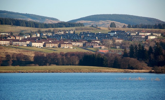
Campbells Hill is a prominent landmark located in Ayrshire, Scotland. It is classified as a hill rather than a mountain, standing at an elevation of approximately 235 meters (771 feet) above sea level. The hill is part of the larger Carrick Hills range, which stretches across Ayrshire and offers stunning panoramic views of the surrounding countryside.
Campbells Hill is known for its distinctive conical shape, making it easily recognizable from a distance. It is covered in lush green vegetation, including grasses, heather, and scattered trees. The hill's slopes are relatively gentle, making it accessible for hikers of all levels.
At the summit of Campbells Hill, visitors are rewarded with breathtaking views of the Ayrshire coast, the Firth of Clyde, and the neighboring Arran and Cumbrae Islands. On clear days, it is even possible to spot the distant peaks of the Scottish Highlands.
The hill is a popular destination for outdoor enthusiasts, offering various recreational activities such as hillwalking, picnicking, and birdwatching. The area is home to a diverse range of wildlife, including red deer, pheasants, and various bird species.
Campbells Hill is located just a short distance from the town of Ayr, making it easily accessible for both locals and tourists. Its natural beauty and stunning vistas make it a must-visit destination for those seeking an escape in the picturesque countryside of Ayrshire.
If you have any feedback on the listing, please let us know in the comments section below.
Campbells Hill Images
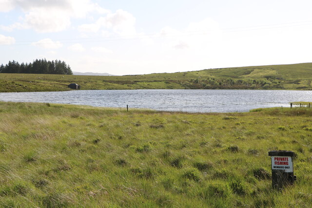
Images are sourced within 2km of 55.290712/-4.3230697 or Grid Reference NS5202. Thanks to Geograph Open Source API. All images are credited.


Campbells Hill is located at Grid Ref: NS5202 (Lat: 55.290712, Lng: -4.3230697)
Unitary Authority: East Ayrshire
Police Authority: Ayrshire
What 3 Words
///fighters.saved.transit. Near Bellsbank, East Ayrshire
Nearby Locations
Related Wikis
Bellsbank
Bellsbank is a village half a mile away from the market town of Dalmellington in East Ayrshire, Scotland. It is the second-highest place in East Ayrshire...

Loch Doon
Loch Doon (Scottish Gaelic: Loch Dùin, pronounced [l̪ˠɔxˈt̪uːɲ]) is a freshwater loch in Carrick, Scotland. The River Doon issues from its northern end...

Dalmellington
Dalmellington (Scots: Dawmellinton, Scottish Gaelic: Dail M'Fhaolain) is a market town and civil parish in East Ayrshire, Scotland. In 2001 the village...
Dalmellington railway station
Dalmellington railway station served the town of Dalmellington, East Ayrshire, Scotland, from 1856 to 1964 on the Ayr and Dalmellington Railway. ��2�...
Have you been to Campbells Hill?
Leave your review of Campbells Hill below (or comments, questions and feedback).