Tom an Stòil

Hill, Mountain in Perthshire

Scotland

Tom an Stòil

Allt Loch Mheugaidh
Allt Loch Mheugaidh Credit: Richard Webb

Tom an Stòil is a prominent hill located in Perthshire, Scotland. Standing at an elevation of 738 meters (2,421 feet), it forms part of the Grampian Mountains range. The hill is situated approximately 12 kilometers (7.5 miles) northwest of the town of Aberfeldy.

Tom an Stòil offers breathtaking panoramic views of the surrounding countryside, making it a popular destination for hikers, nature enthusiasts, and photographers. Its position amidst the picturesque Perthshire landscape makes it an ideal spot for those seeking a peaceful and rejuvenating experience in nature.

The ascent to the summit of Tom an Stòil is relatively moderate, making it accessible to most walkers. The trail leading up the hill is well-defined and offers a variety of flora and fauna along the way. As visitors make their way to the top, they are treated to stunning vistas that include the rolling hills, verdant valleys, and sparkling lochs that typify the Scottish Highlands.

At the summit, hikers are rewarded with unparalleled views that stretch across the Grampian Mountains, with notable landmarks such as Schiehallion and Ben Lawers visible on clear days. The hill also provides an excellent vantage point for capturing the beauty of the surrounding landscape, especially during sunrise and sunset.

Overall, Tom an Stòil in Perthshire is a captivating destination for outdoor enthusiasts, offering a memorable experience surrounded by the natural beauty of the Scottish Highlands.

If you have any feedback on the listing, please let us know in the comments section below.
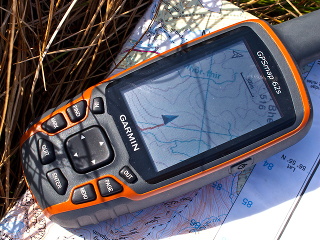
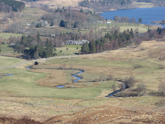
Tom an Stòil Images

Images are sourced within 2km of 56.708228/-4.4101876 or Grid Reference NN5259. Thanks to Geograph Open Source API. All images are credited.

Allt Loch Mheugaidh
Allt Loch Mheugaidh
Road to Loch Ericht To the dam and over a pass to Coire Bhachdaidh Lodge.
Road to Loch Ericht
To the dam and over a pass to Coire Bhachdaidh Lodge.
Road to Loch Ericht
Road to Loch Ericht
Bridge, Allt Loch Mheugaidh At the point where the private road to Coire Lodge crosses the burn.
Bridge, Allt Loch Mheugaidh
At the point where the private road to Coire Lodge crosses the burn.
SE slopes of Meall Gorm, Killichonan Moorland in winter colours, just waiting for the snow. Drainage from this area feeds an aqueduct that partly supplies the Bridge of Ericht Hydro-electric Power station <a href="https://www.geograph.org.uk/gridref/NN5258">NN5258</a>
SE slopes of Meall Gorm, Killichonan
Moorland in winter colours, just waiting for the snow. Drainage from this area feeds an aqueduct that partly supplies the Bridge of Ericht Hydro-electric Power station NN5258
Loch Mheugaidh Loch Mheugaidh, situated on a plateau north of Meall Gorm - here viewed in unseasonally warm weather in March 2012.
Loch Mheugaidh
Loch Mheugaidh, situated on a plateau north of Meall Gorm - here viewed in unseasonally warm weather in March 2012.
Sron Bheag The southern slopes of Sron Bheag - featureless moorland to the east of Loch Mheugaidh.
Sron Bheag
The southern slopes of Sron Bheag - featureless moorland to the east of Loch Mheugaidh.
Tom an Stoil Featureless terrain to the north of Tom an Stoil, with hills beyond Loch Ericht visible in the distance. The course of the Allt Loch Mheugaidh can be seen in the foreground.
Tom an Stoil
Featureless terrain to the north of Tom an Stoil, with hills beyond Loch Ericht visible in the distance. The course of the Allt Loch Mheugaidh can be seen in the foreground.
Estate road in valley of River Ericht An estate road runs north into the hills initially on the slopes east of the River Ericht. Unusually the road is roughly tarmacked and was probably constructed initially as an access road for the hydro-electric developments in the area.
Estate road in valley of River Ericht
An estate road runs north into the hills initially on the slopes east of the River Ericht. Unusually the road is roughly tarmacked and was probably constructed initially as an access road for the hydro-electric developments in the area.
Next stop Sron Bheag A "Geograph" lunch break in the wilds to the west of Loch Mheugaidh - visible on the GPS screen. My next stop is Sron Bheag, then several more km walking before I reach today's objective, Sron a' Chlaonaidh; <a href="https://www.geograph.org.uk/photo/2874586">NN5165 : Summit of Sron a' Chlaonaidh</a>. The GPS system is understandably extremely useful, especially when "Geographing" remote areas of the UK.
Next stop Sron Bheag
A "Geograph" lunch break in the wilds to the west of Loch Mheugaidh - visible on the GPS screen. My next stop is Sron Bheag, then several more km walking before I reach today's objective, Sron a' Chlaonaidh; NN5165 : Summit of Sron a' Chlaonaidh. The GPS system is understandably extremely useful, especially when "Geographing" remote areas of the UK.
B846, Camusericht
B846, Camusericht
Corrievarkie Road A road, tarred in places, to Loch Ericht andover a high pass to Coire Bhachdaidh Lodge.
Corrievarkie Road
A road, tarred in places, to Loch Ericht andover a high pass to Coire Bhachdaidh Lodge.
Forestry above Bridge of Ericht View towards Beinn Pharlagain.
Forestry above Bridge of Ericht
View towards Beinn Pharlagain.
Rough grazing above Bridge of Ericht A view from the road to the dam towards the hills south of Loch Rannoch.
Rough grazing above Bridge of Ericht
A view from the road to the dam towards the hills south of Loch Rannoch.
Road to Loch Ericht To the dam and over a pass to Coire Bhachdaidh Lodge. The woodland on the left has recently been felled.
Road to Loch Ericht
To the dam and over a pass to Coire Bhachdaidh Lodge. The woodland on the left has recently been felled.
Dalaneas Wood Beside the River Ericht. Sgòr Gaibhre in the background.
Dalaneas Wood
Beside the River Ericht. Sgòr Gaibhre in the background.
Sròn Uird Rough grazing above Bridge of Ericht.
Sròn Uird
Rough grazing above Bridge of Ericht.
B846 near Bridge of Ericht
Show me another place!

Tom an Stòil is located at Grid Ref: NN5259 (Lat: 56.708228, Lng: -4.4101876)

Unitary Authority: Perth and Kinross

Police Authority: Tayside

What 3 Words

///take.enclosing.lifted. Near Pubil, Perth & Kinross

Nearby Locations

Tom an Stòil

Related Wikis

River Ericht, Rannoch

The River Ericht (Scottish Gaelic: Eireachd) is a short river which flows generally southwards from the southern end of Loch Ericht for 3 miles / 5 km...
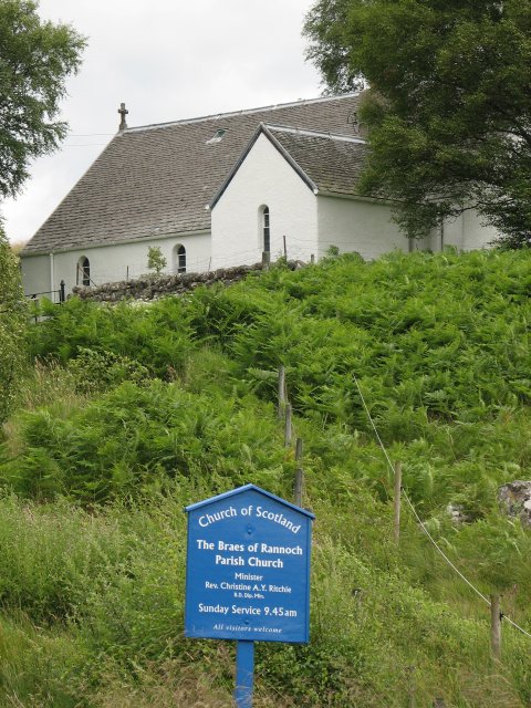
Braes of Rannoch

Braes of Rannoch (wikt:braes, slopes, Gaelic Braigh Raithneach) is a hill with a deserted hamlet and church in Perthshire. The hamlet was formerly, briefly...

Rannoch Barracks

Rannoch Barracks was a military barracks constructed in 1746 at Bridge of Gaur (Braes of Rannoch), Perthshire, Scotland, at the western end of Loch Rannoch...

River Gaur

The River Gaur (Scottish Gaelic: Gamhair / Uisge Ghamhair) is a river in Perthshire which enters Loch Rannoch. == References ==

Have you been to Tom an Stòil?

Leave your review of Tom an Stòil below (or comments, questions and feedback).