Doon Hill

Hill, Mountain in Perthshire

Scotland

Doon Hill

Minor road to Aberfoyle Nearing the exit from Loch Ard Forest at Balleich, with just over 1km to Aberfoyle.
Minor road to Aberfoyle Credit: Jim Barton

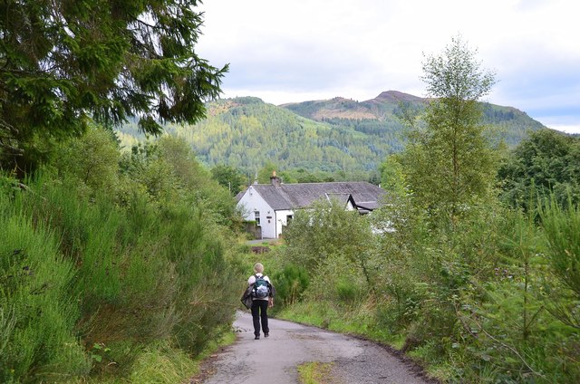
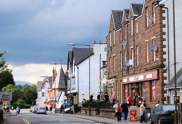
Doon Hill is a prominent hill located in Perthshire, Scotland. Rising to an elevation of approximately 326 meters (1,070 feet), it is a popular destination for hikers and nature enthusiasts alike. Situated near the town of Abernethy, the hill offers stunning panoramic views of the surrounding countryside, making it a picturesque spot to visit.

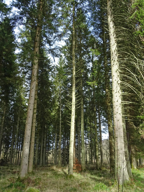
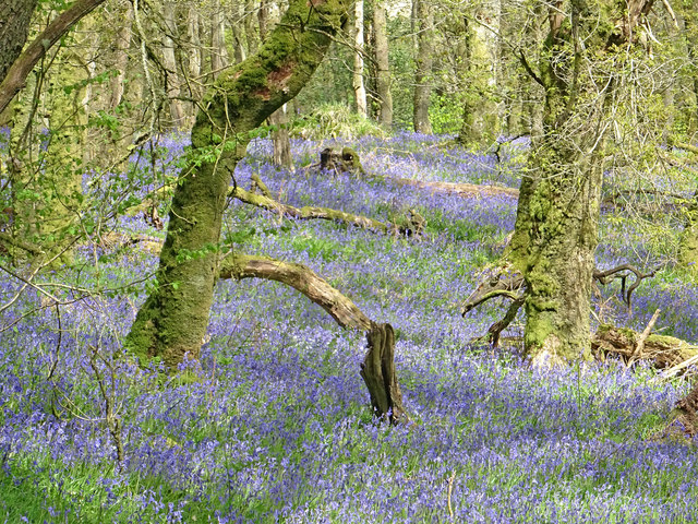
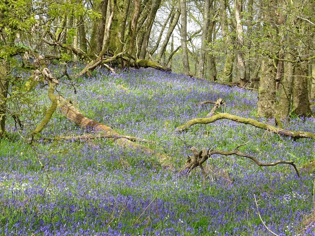
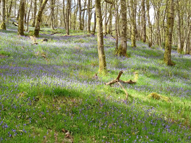
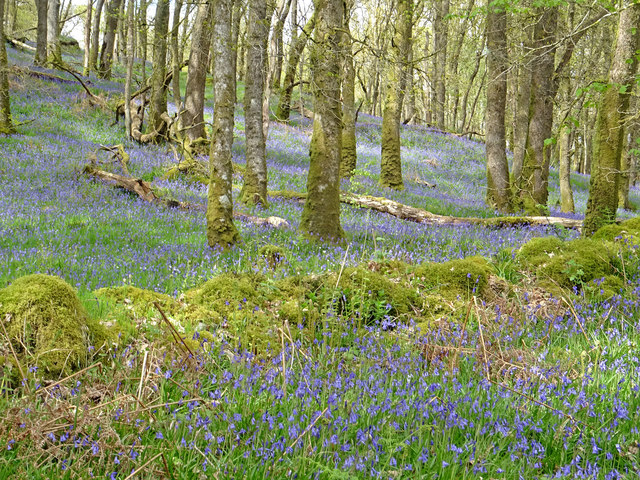
The hill is covered in a diverse range of vegetation, including heather, grasses, and scattered trees, creating a rich and varied landscape. This makes it an ideal habitat for a wide array of wildlife, such as red squirrels, hares, and a variety of bird species, making it a haven for nature lovers.

Atop Doon Hill, there is a fascinating historical site known as the Fairy Hill of Abernethy. This ancient Pictish fort is believed to date back to the 1st millennium AD and is steeped in folklore and legend. According to local tales, the hill was once home to the "Fairy Queen" who would grant wishes and provide guidance to those who sought her help. Today, visitors can explore the remains of the fort and immerse themselves in the enchanting atmosphere of this mystical place.

The hill is easily accessible, with well-maintained trails leading to the summit. The route is suitable for all levels of fitness, and the ascent can be completed in around an hour, allowing visitors to enjoy the breathtaking views without too much exertion.

Overall, Doon Hill in Perthshire offers a blend of natural beauty, historical significance, and folklore that makes it a must-visit destination for anyone exploring the region.

If you have any feedback on the listing, please let us know in the comments section below.

Doon Hill Images

Images are sourced within 2km of 56.170918/-4.3766276 or Grid Reference NN5200. Thanks to Geograph Open Source API. All images are credited.
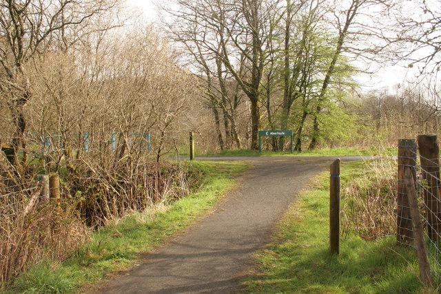
Minor road to Aberfoyle Nearing the exit from Loch Ard Forest at Balleich, with just over 1km to Aberfoyle.
Minor road to Aberfoyle
Nearing the exit from Loch Ard Forest at Balleich, with just over 1km to Aberfoyle.
Shed beside Drum Wood The road leads to Gartmore. The sign in the foreground is encouraging people to vote for Bruce Crawford, the local SNP candidate in the Scottish Parliamentary election on 5th May 2016.
Shed beside Drum Wood
The road leads to Gartmore. The sign in the foreground is encouraging people to vote for Bruce Crawford, the local SNP candidate in the Scottish Parliamentary election on 5th May 2016.
Road from Gartmore towards A81
Bridge over the River Forth Looking from the minor road bridge at Cobleland to the bridge carrying the A81 over the River Forth.
Bridge over the River Forth
Looking from the minor road bridge at Cobleland to the bridge carrying the A81 over the River Forth.
Cobleland Campsite Campsite on the banks of the River Forth.
Cobleland Campsite
Campsite on the banks of the River Forth.
Cobleland and telephone box The road on the left leads to the A81. Straight on takes you to Gartmore.
Cobleland and telephone box
The road on the left leads to the A81. Straight on takes you to Gartmore.
Cobleland Campsite
Cobleland Campsite
Bridge at Cobleland Over the River Forth.
Bridge at Cobleland
Over the River Forth.
Cobleland Pillbox A type 22 Second World War pillbox.
Cobleland Pillbox
A type 22 Second World War pillbox.
Cycle track to Aberfoyle This section of National Cycle Route 7 follows the route of the former Strathendrick and Aberfoyle Railway, which closed in 1959.
Cycle track to Aberfoyle
This section of National Cycle Route 7 follows the route of the former Strathendrick and Aberfoyle Railway, which closed in 1959.
Cycle route to Gartmore and Drymen Part of National Cycle Route 7.
Cycle route to Gartmore and Drymen
Part of National Cycle Route 7.
Path joining the Cycle Route to Aberfoyle
Path to footbridge over River Forth The path leads to a footbridge over the River Forth [<a title="https://www.geograph.org.uk/photo/2162998" href="https://www.geograph.org.uk/photo/2162998">Link</a>].
Path to footbridge over River Forth
The path leads to a footbridge over the River Forth [Link].
Venerable Giants Giant Norway Spruces planted in 1939 on the bank of the River Forth. A fine place to grow old.
Venerable Giants
Giant Norway Spruces planted in 1939 on the bank of the River Forth. A fine place to grow old.
Fairy Knowe Native Bluebells in amongst the Oaks in Loch Ard Forest near Aberfoyle.
Fairy Knowe
Native Bluebells in amongst the Oaks in Loch Ard Forest near Aberfoyle.
In Amongst the Bluebells On Fairy Knowe near Aberfoyle underneath mainly Oak canopy.
In Amongst the Bluebells
On Fairy Knowe near Aberfoyle underneath mainly Oak canopy.
Dappled Light Lovely shades of blues and greens underneath Oak wood canopy with a carpet of native bluebells beneath.
Dappled Light
Lovely shades of blues and greens underneath Oak wood canopy with a carpet of native bluebells beneath.
Native Bluebell Woodland Native Bluebells in Oak woodland in Loch Ard Forest not far from the River Forth and Aberfoyle.
Native Bluebell Woodland
Native Bluebells in Oak woodland in Loch Ard Forest not far from the River Forth and Aberfoyle.
Show me another place!

Doon Hill is located at Grid Ref: NN5200 (Lat: 56.170918, Lng: -4.3766276)

Unitary Authority: Stirling

Police Authority: Forth Valley

What 3 Words

///frocks.revision.importing. Near Balfron, Stirling

Related Wikis

Aberfoyle railway station

Aberfoyle railway station served the village of Aberfoyle in Scotland between 1882 and 1951. == History == The station was opened by the Strathendrick...

Aberfoyle, Stirling

Aberfoyle (Scottish Gaelic: Obar Phuill) is a village in the historic county and registration county of Perthshire and the council area of Stirling, Scotland...

Gartmore railway station

Gartmore railway station served the village of Gartmore, in the historical county of Stirlingshire, Scotland, from 1882 to 1950 on the Strathendrick and...

Duchray Water

Duchray Water, also called Dachray Water, is a 14-mile-long (23 km) headstream of the River Forth in the Trossachs region of Scotland. == Location == Duchray...

Craigmore (hill)

Craigmore is a prominent hill, 387 metres high, above the village of Aberfoyle in the council area of Stirling in Scotland. == Geography == The summit...

Milton, Stirling

Milton is a hamlet in Stirling, Scotland near Aberfoyle situated above the River Forth. In 1961 it had a population of 98. Most pupils attend Aberfoyle...

Gartmore House

Gartmore House is a country house and estate in the village of Gartmore, Stirling, Scotland. It was built in the mid-18th century for the Graham family...

Cunninghame Graham Memorial

The Cunninghame Graham Memorial is a stone monument dedicated to the memory of 'Don Roberto' Robert Bontine Cunninghame Graham (1852–1936) 15th of Gartmore...

Nearby Amenities

Located within 500m of 56.170918,-4.3766276
Doon Hill
Natural: peak
Lat/Long: 56.1711313/-4.3765271
Barrier: stile
Lat/Long: 56.1743119/-4.3732813
Power: pole
Lat/Long: 56.1728195/-4.3838271
Power: pole
Lat/Long: 56.1730384/-4.3830092
Power: pole
Lat/Long: 56.1733377/-4.3819131
Power: pole
Lat/Long: 56.1736404/-4.3808066
Power: pole
Lat/Long: 56.1739071/-4.3798193
Power: pole
Lat/Long: 56.1742354/-4.3785894
Power: pole
Lat/Long: 56.1745219/-4.3775288
Power: pole
Lat/Long: 56.1747652/-4.3766399
Power: pole
Lat/Long: 56.1750354/-4.3756546
Power: pole
Lat/Long: 56.1748048/-4.3748514
Power: pole
Lat/Long: 56.1744438/-4.3742113
Power: pole
Lat/Long: 56.1740247/-4.3734081
Power: pole
Lat/Long: 56.1736451/-4.3727597
Power: pole
Lat/Long: 56.1727915/-4.3712202
Power: pole
Lat/Long: 56.1723712/-4.3705069
Power: pole
Lat/Long: 56.1719706/-4.3697538
Power: pole
Lat/Long: 56.1714466/-4.3693857
Power: pole
Lat/Long: 56.1709575/-4.3689151
The data included in this document is from www.openstreetmap.org. The data is made available under ODbL.

Have you been to Doon Hill?

Leave your review of Doon Hill below (or comments, questions and feedback).