Cairn Hill

Hill, Mountain in Ayrshire

Scotland

Cairn Hill

Road to Middle Third
Road to Middle Third Credit: Alan Reid

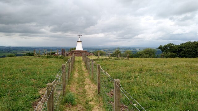
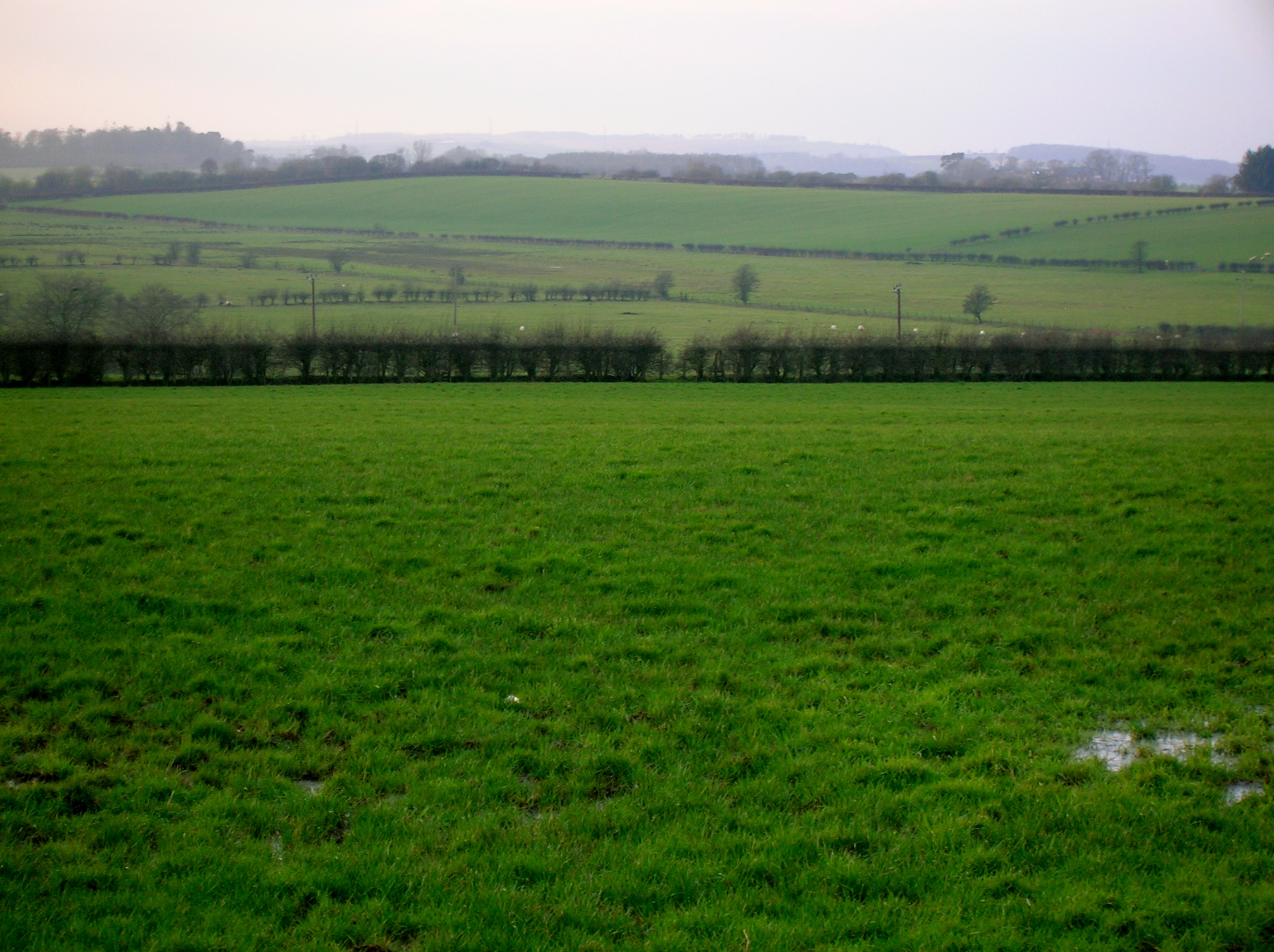
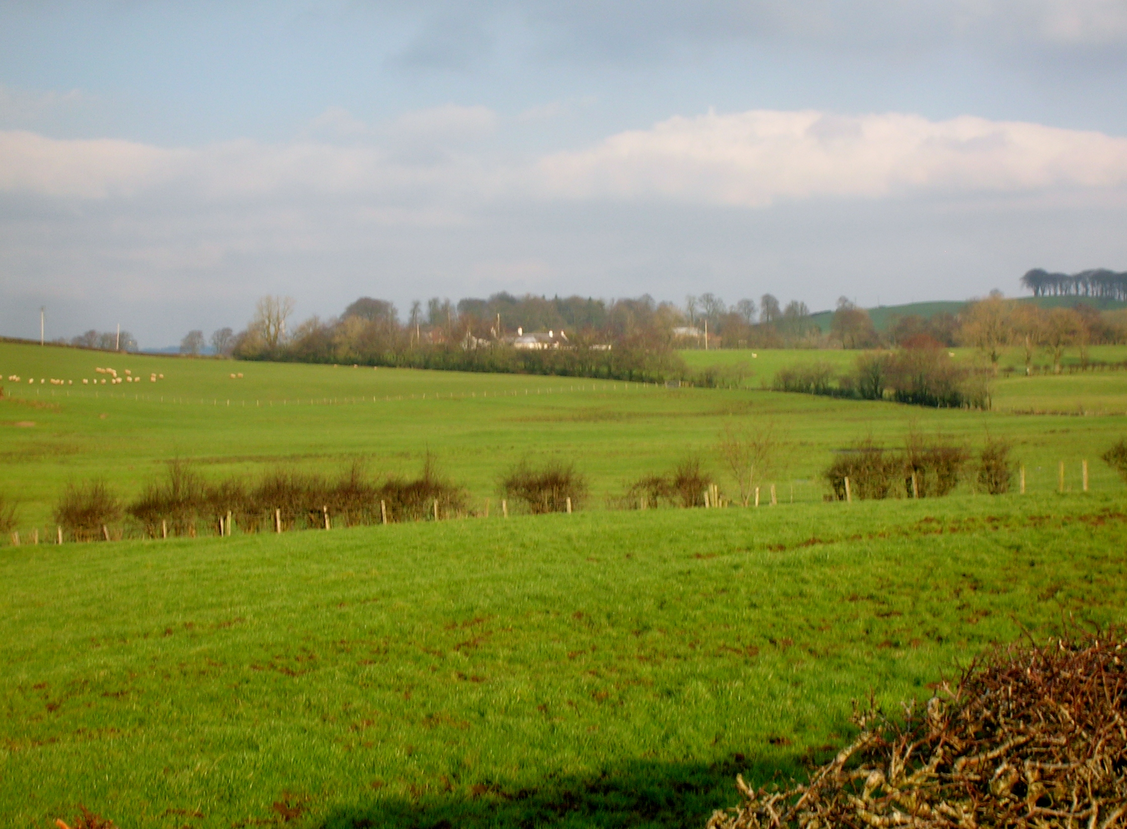
Cairn Hill is a prominent landmark located in the picturesque region of Ayrshire, Scotland. Situated approximately five miles south of the town of Dalmellington, it is part of the Galloway Hills range. With an elevation of 873 meters (2,864 feet), Cairn Hill is recognized as one of the highest peaks in the area.

The hill is characterized by its distinctive conical shape and is composed primarily of granite, offering a striking contrast to the lush greenery that surrounds it. Its slopes are covered in heather and grasses, providing a habitat for a variety of plant and animal species, including red grouse and mountain hares.

Climbing Cairn Hill offers spectacular panoramic views of the surrounding countryside, including the rolling hills of Ayrshire, the sparkling waters of Loch Doon, and the distant peaks of the Southern Uplands. On a clear day, it is even possible to catch a glimpse of the Isle of Arran on the western horizon.

The hill is a popular destination for outdoor enthusiasts, attracting hikers, mountain bikers, and nature lovers alike. Several well-marked trails lead to the summit, catering to different levels of fitness and experience. The challenging terrain and steep ascent make it a favorite among those seeking a rewarding outdoor adventure.

In addition to its natural beauty, Cairn Hill is also steeped in history. It is believed to have been a site of ancient burial cairns, dating back thousands of years. This historical significance adds to the allure of this magnificent landmark in Ayrshire.

If you have any feedback on the listing, please let us know in the comments section below.
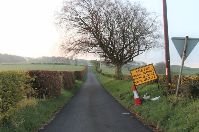
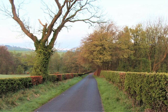
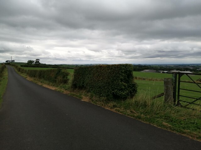
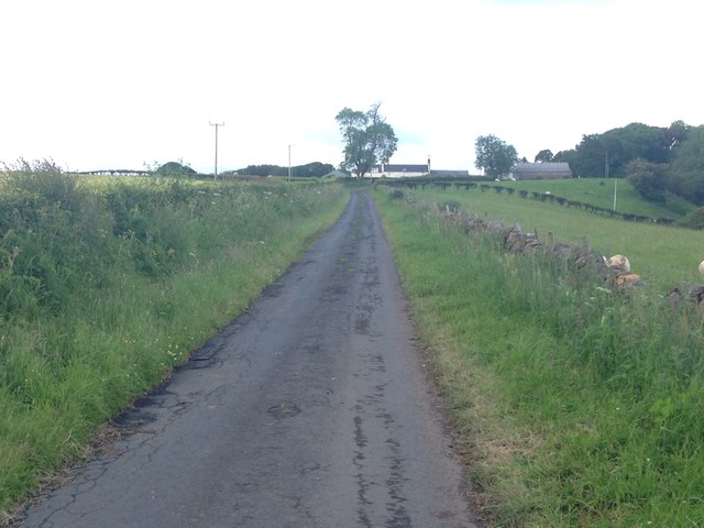
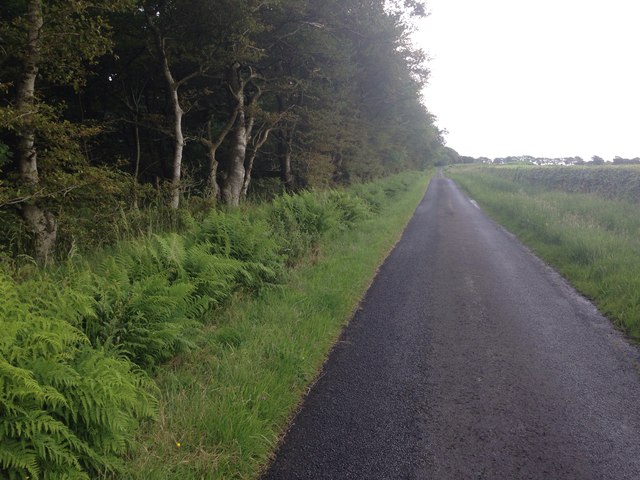
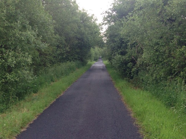
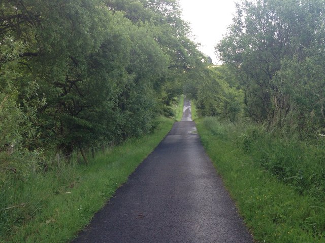
Cairn Hill Images

Images are sourced within 2km of 55.577002/-4.341984 or Grid Reference NS5233. Thanks to Geograph Open Source API. All images are credited.

Road to Middle Third
Spring leaves in rural Ayrshire
The B7037 at Sornhill Heading for Galston.
The B7037 at Sornhill
Heading for Galston.
Minor road south of Galston This road runs between Sornhill and Newmilns. It is seen here from just east of the junction with minor road that goes to Priestland.
Minor road south of Galston
This road runs between Sornhill and Newmilns. It is seen here from just east of the junction with minor road that goes to Priestland.
The Gallowlaw Cairn - freshly painted During the Killing Times, in 1684 James Smith of East Threepwood sheltered local Covenanters who had escaped from Newmilns Tower. Challenged, Smith was shot and wounded by Dragoons of John Graham of Claverhouse (Bluidy Clavers) at the Burn of Ann, and thereafter died of his wounds in Mauchline Prison. He was buried at Mauchline Parish Church.
The Gallowlaw Cairn - freshly painted
During the Killing Times, in 1684 James Smith of East Threepwood sheltered local Covenanters who had escaped from Newmilns Tower. Challenged, Smith was shot and wounded by Dragoons of John Graham of Claverhouse (Bluidy Clavers) at the Burn of Ann, and thereafter died of his wounds in Mauchline Prison. He was buried at Mauchline Parish Church.
Bent Farm Road
Bent Farm Road
B7037 near Bent Farm Looking towards Sornhill.
B7037 near Bent Farm
Looking towards Sornhill.
Gallow Law memorial Gallow Law view point
Gallow Law memorial
Gallow Law view point
Minor road near Tongue
Farmland near Bogend
Minor road near Meikle Carleith
Minor road near Newfield Farm
Minor road near Hillhouse
Farm road to Hillend
Minor road near Middle Third
Bridge over Anne Burn
Show me another place!

Cairn Hill is located at Grid Ref: NS5233 (Lat: 55.577002, Lng: -4.341984)

Unitary Authority: East Ayrshire

Police Authority: Ayrshire

What 3 Words

///breath.item.crunching. Near Galston, East Ayrshire

Nearby Locations

Cairn Hill

Related Wikis

Cessnock Castle

Cessnock Castle is a 15th-century keep greatly enlarged into a baronial mansion, about 1 mile (1.6 km) south east of Galston, East Ayrshire, Scotland,...

Bruntwood Loch

Bruntwood Loch (NS 50265 32454) was a freshwater loch, now drained, lying in a glacial kettle hole in Galston, East Ayrshire, Scotland. == The loch... ==

Whitehill Loch

Whitehill Loch (NS 49240 33240), previously known as Hillhouse Loch was a freshwater loch in the East Ayrshire Council Area, now drained, near Galston...

Castle and Lands of Auchruglen

The Castle and Lands of Auchruglen (NS5365436797) was a peel tower in the old district of Kyle held at different times by the Nesbitt and Campbell Clans...

Nearby Amenities

Located within 500m of 55.577002,-4.341984
Cairnhill
Corbett: no
Graham: no
Munro: no
Natural: peak
Source: OS7
Lat/Long: 55.5771342/-4.3418424
Place: farm
Lat/Long: 55.5738594/-4.3363338
Power: pole
Lat/Long: 55.5731458/-4.3396677
Power: pole
Lat/Long: 55.5739221/-4.3389032
Power: pole
Lat/Long: 55.5745474/-4.3383015
Power: pole
Lat/Long: 55.5752098/-4.337659
Power: pole
Lat/Long: 55.5757456/-4.3375754
Power: pole
Lat/Long: 55.5762929/-4.3374668
Power: pole
Lat/Long: 55.5768121/-4.3373718
Power: pole
Lat/Long: 55.5773734/-4.3372858
Power: pole
Lat/Long: 55.5778555/-4.3372044
Power: pole
Lat/Long: 55.5783452/-4.337132
Power: pole
Lat/Long: 55.5740154/-4.3364308
Power: pole
Lat/Long: 55.5743952/-4.3368108
Power: pole
Lat/Long: 55.5748326/-4.337279
Power: pole
Lat/Long: 55.5759438/-4.3385684
Power: pole
Lat/Long: 55.5767213/-4.3395343
Power: pole
Lat/Long: 55.5774182/-4.3404096
Power: pole
Lat/Long: 55.5781087/-4.3412647
Power: pole
Lat/Long: 55.5787825/-4.3421175
The data included in this document is from www.openstreetmap.org. The data is made available under ODbL.

Have you been to Cairn Hill?

Leave your review of Cairn Hill below (or comments, questions and feedback).