Cairny Hill
Hill, Mountain in Kirkcudbrightshire
Scotland
Cairny Hill
![Cliff-McCulloch Memorial on Cairny Hill Memorial to members of the Cliff-McCulloch family. The inscription reads:
Sacred | to the memory of | Janet McCulloch Cliff-McCulloch | the wife of | E. A. Cliff-McCulloch, | who died at Kirkclaugh, on the 28th March 1911, | in her 59th year. | "A woman greatly beloved." | And of her husband | Edward Adam Cliff-McCulloch | who died at Carlisle on the 31st August 1915, | in his 64th year, | and of their third son | Walter Alexander Cliff-McCulloch | Lieutenant, Royal Irish Rifles, | killed in action in France on the 27th February 1916 | and buried in the British Cemetery Vermelles, | aged 29 years. | And of their grand-son | Alexander Peter Cliff-McCulloch | Sgt. Air Gunner killed night 31st May - 1st June 1944 | on flying operations over North Sea, | aged 28 [y]ear[s]. | And of their eldest son | Willian Edward Clif[f]-McCulloch | father of Alexander P[e]ter | D[ie]d 1[3?]th Oct. 1957, [ag]ed 76 years.](https://s0.geograph.org.uk/geophotos/07/19/27/7192716_164ff83b.jpg)
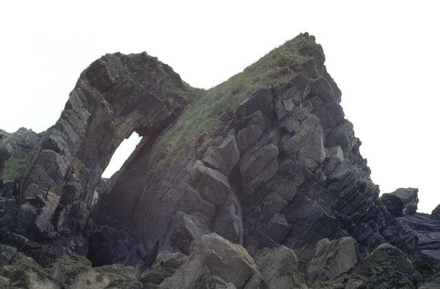
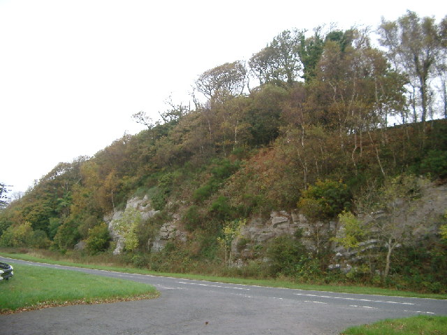
Cairny Hill, located in Kirkcudbrightshire, Scotland, is a prominent hill that offers breathtaking views of the surrounding landscape. Rising to a height of approximately 217 meters (712 feet), it is considered a notable landmark in the area.
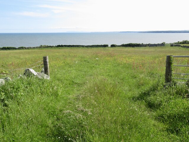
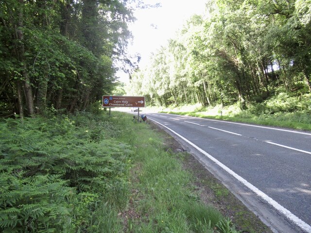
The hill is situated near the town of Newton Stewart, to the southwest of Kirkcudbright, and is easily accessible by foot or by car. It is a popular destination for hikers and nature enthusiasts, owing to its stunning natural beauty and diverse wildlife.
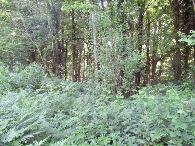
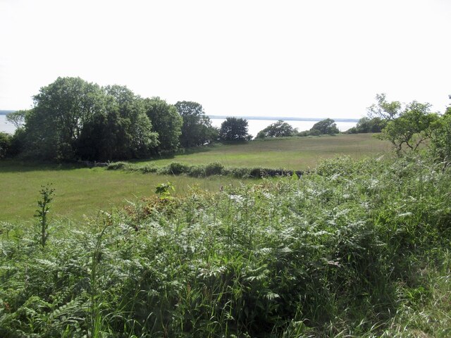
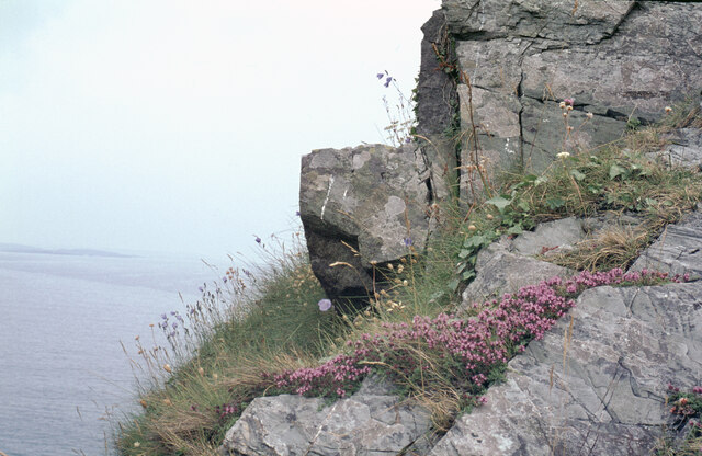
Cairny Hill is covered in lush green vegetation, with patches of heather and gorse adding vibrant colors to the landscape. The hill is also home to a variety of flora and fauna, including foxes, rabbits, and a wide array of bird species.
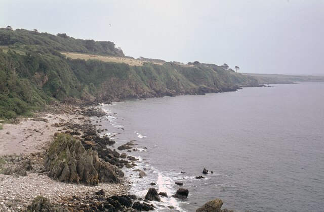
At its peak, Cairny Hill offers panoramic views of the surrounding countryside, with sights stretching across the Galloway Forest Park and the Solway Firth. On a clear day, visitors can even catch glimpses of the Isle of Man and the Lake District in England.
The hill also holds historical significance, with remnants of an Iron Age fort located at the summit. These ancient ruins add an air of mystery and intrigue to the area, attracting history enthusiasts and archaeology buffs.
Overall, Cairny Hill is a picturesque and enchanting destination that showcases the natural beauty and rich history of Kirkcudbrightshire.
If you have any feedback on the listing, please let us know in the comments section below.
Cairny Hill Images
Images are sourced within 2km of 54.850031/-4.302198 or Grid Reference NX5253. Thanks to Geograph Open Source API. All images are credited.

Cairny Hill is located at Grid Ref: NX5253 (Lat: 54.850031, Lng: -4.302198)
Unitary Authority: Dumfries and Galloway
Police Authority: Dumfries and Galloway
What 3 Words
///scam.salon.ghosts. Near Whithorn, Dumfries & Galloway
Nearby Locations
Related Wikis

Barholm Castle
Barholm Castle is a tower house located 5 miles (8.0 km) south-west of Gatehouse of Fleet, in Kirkcudbrightshire, Galloway, Scotland. The tower dates back...
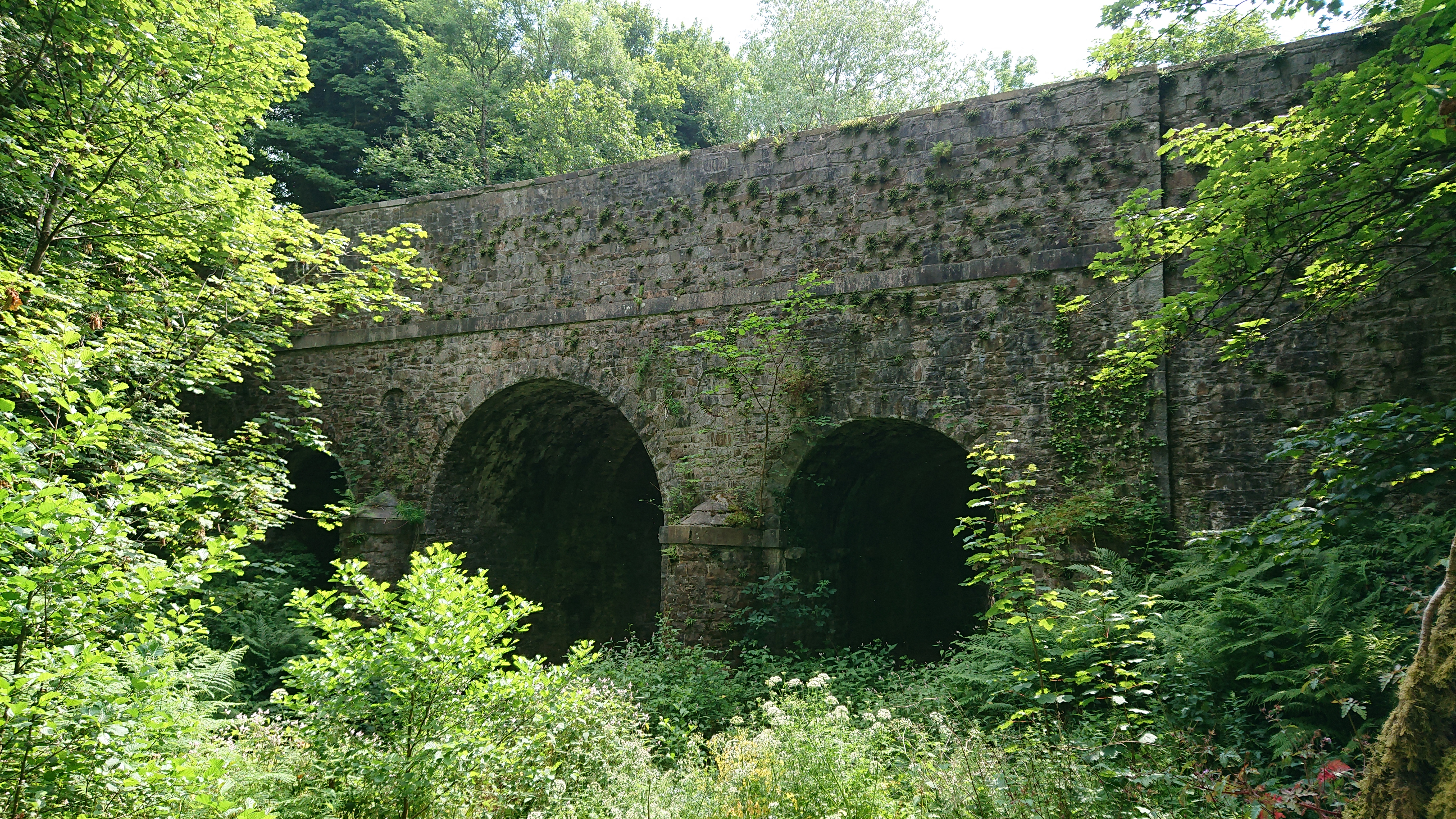
Kirkdale Bridge
Kirkdale Bridge is a bridge over the Kirkdale Burn in the parish of Kirkmabreck, between Gatehouse of Fleet and Creetown in Dumfries and Galloway, Scotland...

Ravenshall Wood
Ravenshall Wood is a Site of Special Scientific Interest, located 5 kilometres east of Creetown in the historic county of Kirkcudbrightshire, Dumfries...

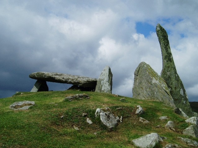
Cairnholy
Cairnholy (or Cairn Holy) is the site of two Neolithic chambered tombs of the Clyde type. It is located 4 kilometres east of the village of Carsluith in...

Water of Fleet
The Water of Fleet is a river in Scotland flowing into Fleet Bay on the Solway Firth. Its two tributaries are the Big Water of Fleet, which begins around...

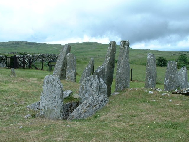
Glenquicken stone circle
Glenquicken stone circle or Billy Diamond's Bridge stone circle (grid reference NX50965821) is an oval stone circle with a central pillar, two miles east...
Wigtown Bay
Wigtown Bay is a large inlet of the Irish Sea on the coast of Galloway in southwest Scotland. Its coastline falls entirely within the modern administrative...

Ardwall House
Ardwall House is an eighteenth-century mansion near Gatehouse of Fleet in Dumfries and Galloway, Scotland. Built in 1762 for the McCullochs of Ardwall...
Related Videos

Auchenlarie Holiday Park
southwestscotland Award-winning park is situated on the beautiful coastline of Dumfries and Galloway, with direct access to a ...

Auchenlarie Holiday Park - Scotland Staycation Review
Auchenlarie Holiday Caravan Park has some of the most stunning scenery in Scotland, this family-run holiday park offers a prime ...


Little Beach 1 bed Shepherd Hut holiday let sea views near Gatehouse of Fleet, South West Scotland
Situated around 5 miles from Gatehouse of Fleet in Dumfries & Galloway, South West Scotland, Little Beach shepherd hut is ...
Nearby Amenities
Located within 500m of 54.850031,-4.302198Have you been to Cairny Hill?
Leave your review of Cairny Hill below (or comments, questions and feedback).