Fauldside Hill

Hill, Mountain in Renfrewshire

Scotland

Fauldside Hill

Water Works, Dodside The northern part of Mearns Law in the background.
Water Works, Dodside Credit: wfmillar

Fauldside Hill is a prominent hill located in the region of Renfrewshire, Scotland. Standing at an elevation of approximately 278 meters (912 feet), it is considered a significant landmark in the area. The hill is situated near the village of Kilbarchan, around 15 kilometers southwest of Glasgow.

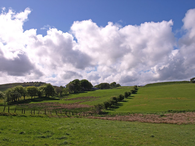
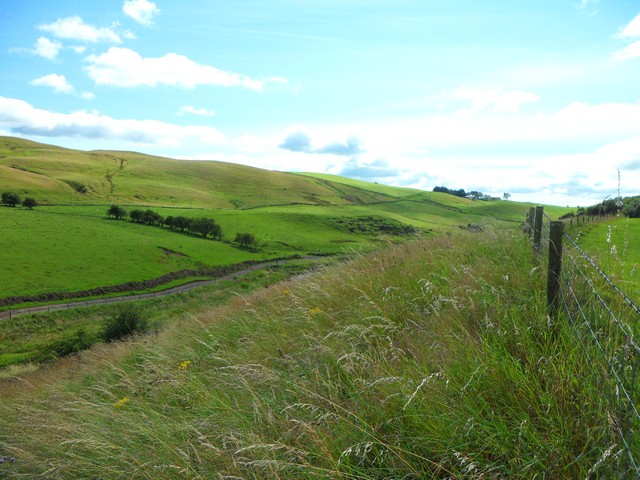
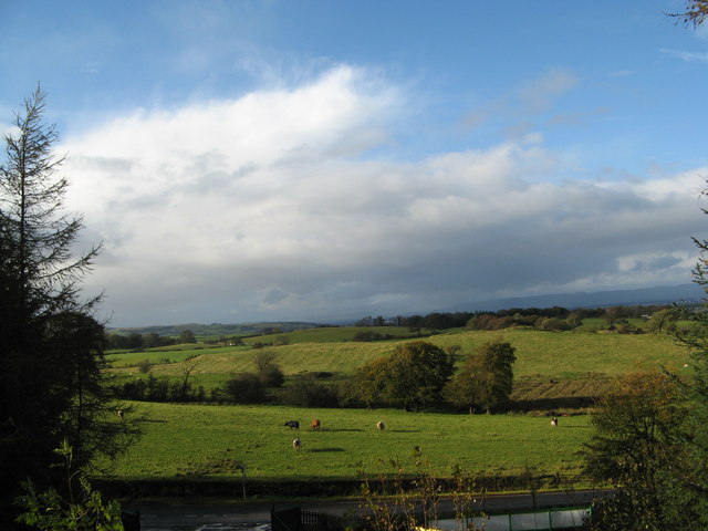
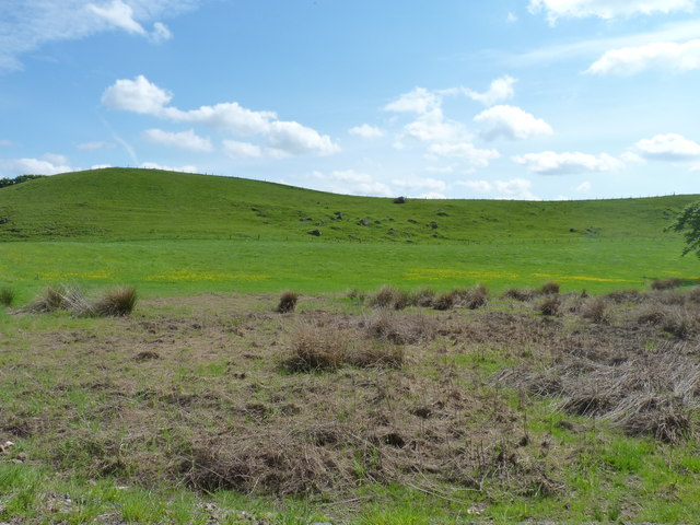
The landscape surrounding Fauldside Hill is characterized by rolling hills and green pastures, creating a picturesque view for visitors. The hill itself is covered in lush vegetation, with a mix of grasses, heather, and scattered trees. Its slopes are gentle, providing a relatively easy ascent for hikers and nature enthusiasts.

At the peak of Fauldside Hill, one can enjoy breathtaking panoramic views of the surrounding countryside, including the nearby Clyde Muirshiel Regional Park. On clear days, it is even possible to catch a glimpse of the distant mountains and hills of the Scottish Highlands.

The hill is a popular destination for outdoor activities such as hiking, walking, and photography. Several well-marked trails traverse the area, offering visitors the opportunity to explore the diverse flora and fauna of the region. Wildlife, including rabbits, deer, and various bird species, can often be spotted throughout the hillside.

Fauldside Hill is not only a natural attraction but also holds historical importance. The hill is believed to have been used as a site for ancient settlements and possibly as a defensive position during conflicts in the past.

Overall, Fauldside Hill is a beautiful and accessible natural landmark, providing both recreational and historical value to the Renfrewshire region.

If you have any feedback on the listing, please let us know in the comments section below.

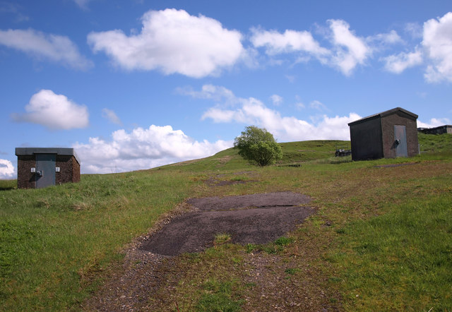
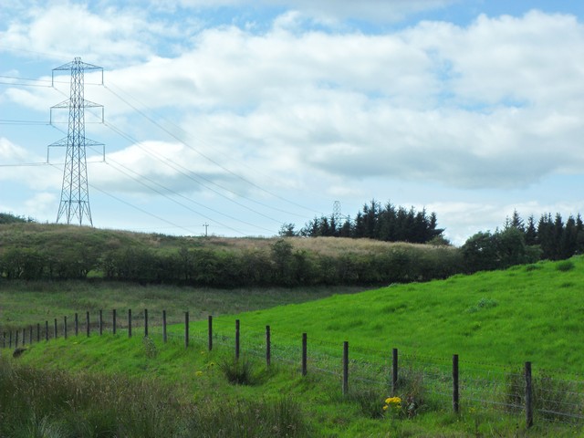
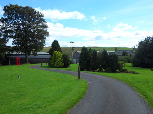
Fauldside Hill Images

Images are sourced within 2km of 55.748442/-4.3553572 or Grid Reference NS5253. Thanks to Geograph Open Source API. All images are credited.

Water Works, Dodside The northern part of Mearns Law in the background.
Water Works, Dodside
The northern part of Mearns Law in the background.
Farmland near Langton Farm Brock Burn runs in the dip.
Farmland near Langton Farm
Brock Burn runs in the dip.
Pylons near Hazeldenhill Just south of Newton Mearns.
Pylons near Hazeldenhill
Just south of Newton Mearns.
Broadlees Rural settlement south of Glasgow.
Broadlees
Rural settlement south of Glasgow.
Looking along the glen of the Earn Water From the steep north bank between Broadlees and Blackhouse Farm.
Looking along the glen of the Earn Water
From the steep north bank between Broadlees and Blackhouse Farm.
Fields along Keltie Bridge
Mixed textures Differing textures of farmland near the road into Faulds farm.
Mixed textures
Differing textures of farmland near the road into Faulds farm.
M77 crossing a minor road near Brown Castle
M77 a mile from Junction 5
M77 northbound approaching Junction 5
A726 looking east
A726 looking east
M77 - Junction 5 sign Seen heading to Glasgow from Ayr.
M77 - Junction 5 sign
Seen heading to Glasgow from Ayr.
Motorway service depot At the J5 of the M77 with the A726. The slip road to the A726 is between the two Armco barriers, and also connects to the A77.
Motorway service depot
At the J5 of the M77 with the A726. The slip road to the A726 is between the two Armco barriers, and also connects to the A77.
Disused Quarry south-west of Newton Mearns This quarry has been fenced off by a very high fence. This is absolutely necessary since there are sheer drops into the very deep water below.
Disused Quarry south-west of Newton Mearns
This quarry has been fenced off by a very high fence. This is absolutely necessary since there are sheer drops into the very deep water below.
Waterfall on Capelrig Burn At Pilmuir just beside a minor road.
Waterfall on Capelrig Burn
At Pilmuir just beside a minor road.
The East Renfrewshire Golf Club - Clubhouse Par 71 moorland course situated just off Junction 5 of the M77.
The East Renfrewshire Golf Club - Clubhouse
Par 71 moorland course situated just off Junction 5 of the M77.
Thorter Burn on The Eastwood Golf Course At the point where another unnamed burn joins the Thorter Burn.
Thorter Burn on The Eastwood Golf Course
At the point where another unnamed burn joins the Thorter Burn.
Thorter Burn on The Eastwood Golf Course Also featuring 3 footbridges across the Thorter Burn.
Thorter Burn on The Eastwood Golf Course
Also featuring 3 footbridges across the Thorter Burn.
Show me another place!

Fauldside Hill is located at Grid Ref: NS5253 (Lat: 55.748442, Lng: -4.3553572)

Unitary Authority: East Renfrewshire

Police Authority: Greater Glasgow

What 3 Words

///scorching.pacifist.paid. Near Newton Mearns, East Renfrewshire

Related Wikis

Nearby Amenities

Located within 500m of 55.748442,-4.3553572
Power: pole
Lat/Long: 55.749513/-4.3579062
Power: pole
Lat/Long: 55.7495928/-4.3569436
Power: pole
Lat/Long: 55.7490404/-4.3563101
Power: pole
Lat/Long: 55.7489267/-4.3554245
Power: pole
Lat/Long: 55.7489302/-4.3543014
Power: pole
Lat/Long: 55.7496702/-4.3532929
Power: pole
Lat/Long: 55.7500935/-4.3520948
Power: pole
Lat/Long: 55.7504735/-4.3510363
Power: pole
Lat/Long: 55.7507174/-4.3503862
Power: pole
Lat/Long: 55.750348/-4.3490047
Power: pole
Lat/Long: 55.7500994/-4.3480775
Power: pole
Lat/Long: 55.7493594/-4.3480567
Animal Boarding
Mearns Canine Lodge
Addr City: Newton Mearns
Addr Housename: Star And Garter Estate
Addr Postcode: G77 6RS
Addr Street: Mearns Road
Animal Boarding: dog
Payment Cards: yes
Payment Contactless: yes
Phone: +44 7450 881756
Wheelchair: yes
Lat/Long: 55.7510115/-4.3526682
The data included in this document is from www.openstreetmap.org. The data is made available under ODbL.

Have you been to Fauldside Hill?

Leave your review of Fauldside Hill below (or comments, questions and feedback).