Crow Hill
Hill, Mountain in Stirlingshire
Scotland
Crow Hill

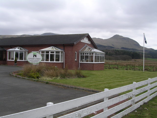
Crow Hill is a prominent hill located in the region of Stirlingshire, Scotland. With an elevation of 415 meters (1,362 feet), it stands as an impressive landmark within the area. Situated approximately 7 kilometers (4.3 miles) northeast of the town of Stirling, Crow Hill is part of the Campsie Fells, a range of hills spanning East Dunbartonshire and North Lanarkshire.
The hill offers a relatively straightforward ascent, making it a popular destination among outdoor enthusiasts and hikers. Its summit provides breathtaking panoramic views of the surrounding landscape, including the nearby cities of Stirling and Falkirk, as well as the picturesque Campsie Glen.
Crow Hill is encompassed by a diverse range of flora and fauna. The lower slopes are adorned with grasses, heather, and scattered birch trees, while higher up, the vegetation transitions to mosses and lichens. The hill serves as a habitat for various bird species such as ravens, buzzards, and kestrels, which can often be spotted soaring above.
Historically, Crow Hill has been associated with several local legends and folklore. One such tale tells of a hidden treasure buried within the hill, captivating the imaginations of both locals and visitors alike.
Due to its relatively accessible location and captivating natural beauty, Crow Hill attracts a steady flow of visitors throughout the year. Whether it be for a leisurely hike, birdwatching, or simply to enjoy the stunning views, this hill offers a memorable experience for all who venture to its summit.
If you have any feedback on the listing, please let us know in the comments section below.
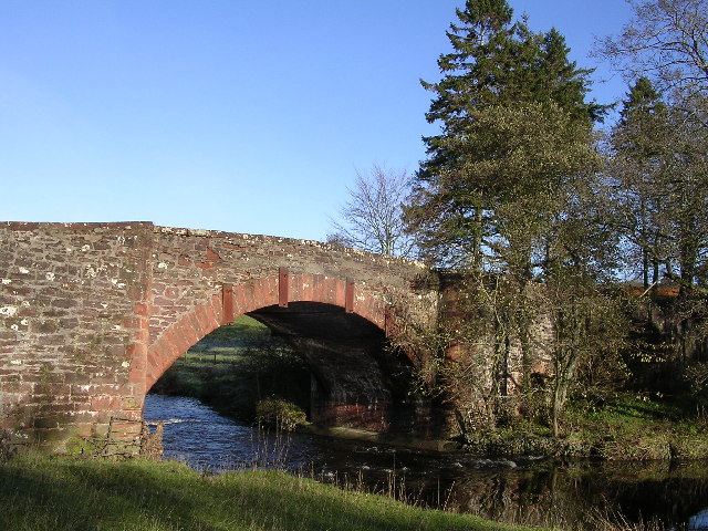
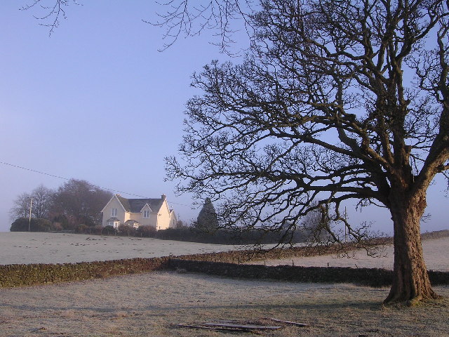
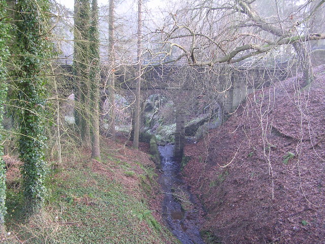
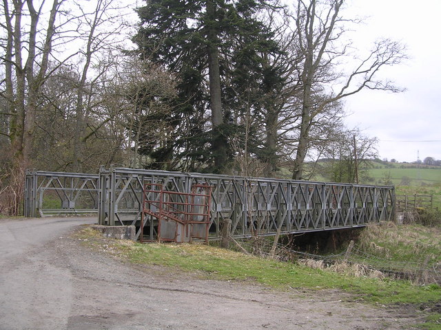
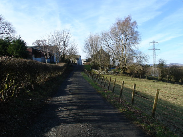
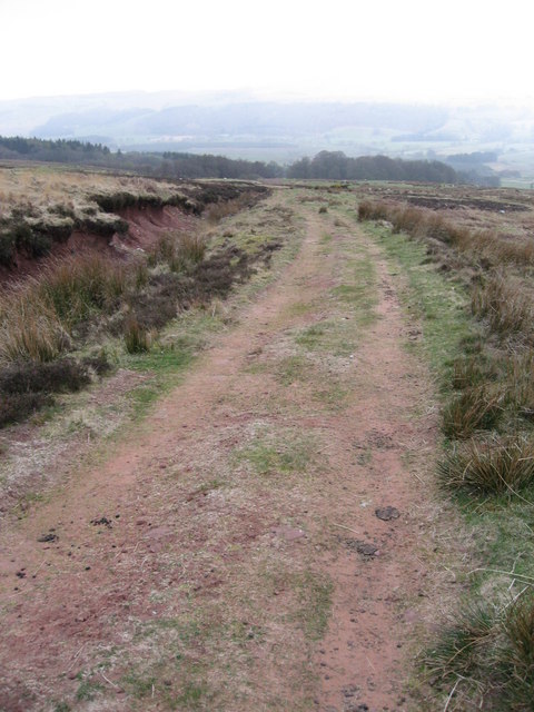
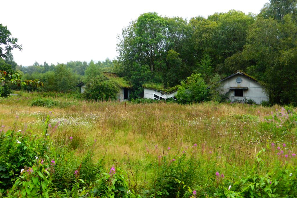
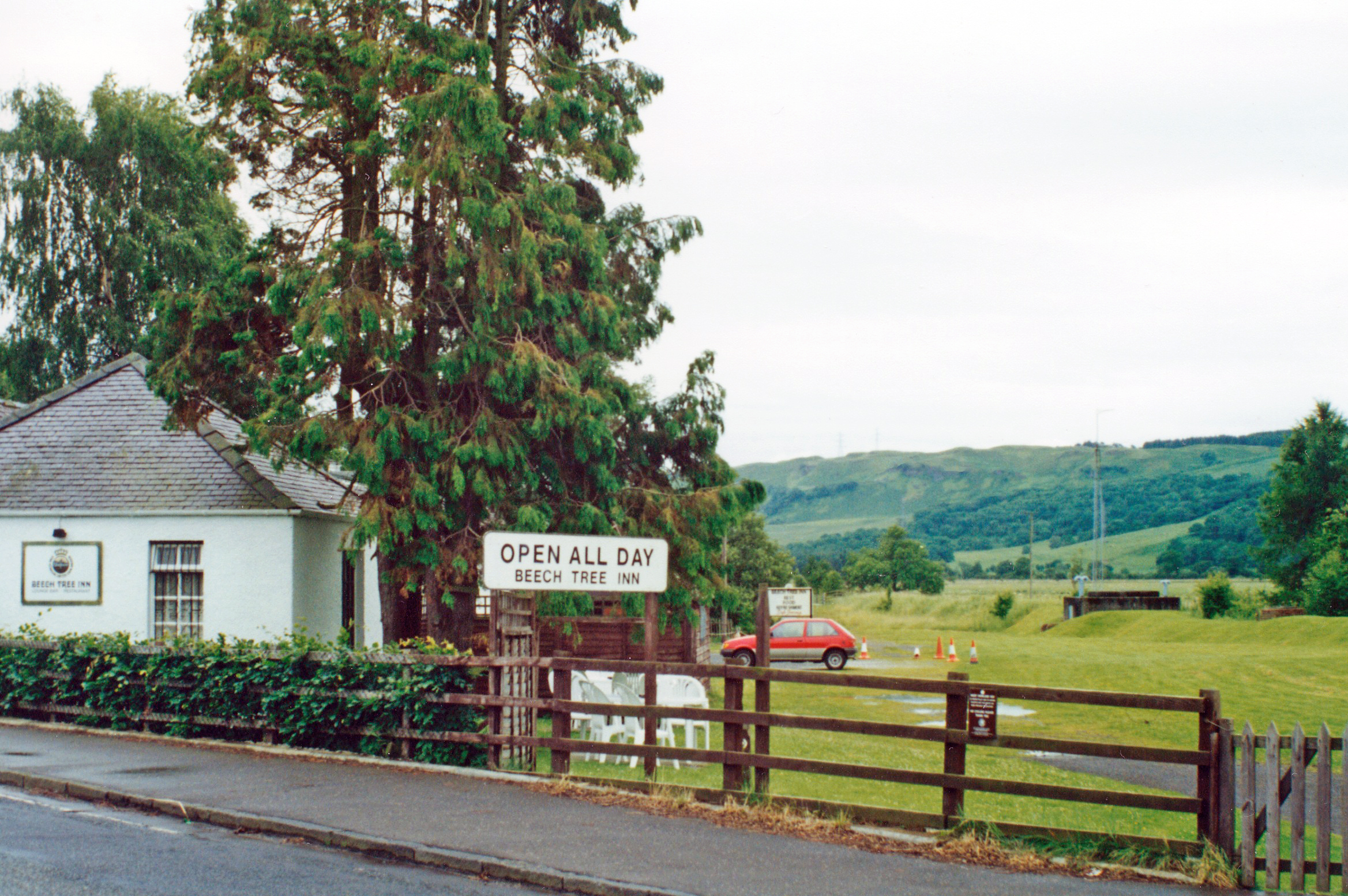
Crow Hill Images
Images are sourced within 2km of 56.039155/-4.3793548 or Grid Reference NS5185. Thanks to Geograph Open Source API. All images are credited.


Crow Hill is located at Grid Ref: NS5185 (Lat: 56.039155, Lng: -4.3793548)
Unitary Authority: Stirling
Police Authority: Forth Valley
What 3 Words
///journals.craziest.perform. Near Killearn, Stirling
Nearby Locations
Related Wikis

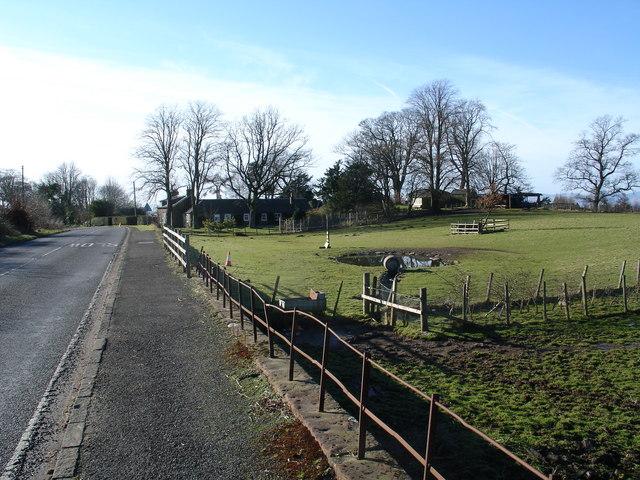
Killearn
Killearn (Scottish Gaelic: Cill Fhearann, from orig. Ceann Fhearann, "Head/End of (the) Land/Territory" – until the 15th century when Ceann was replaced...

Killearn railway station
Killearn railway station served the village of Killearn, Stirling, Scotland from 1882 to 1951 on the Blane Valley Railway. == History == The station opened...
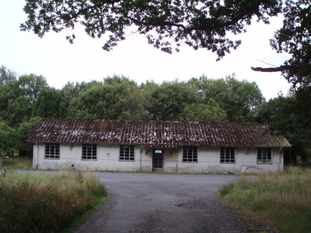
Killearn Hospital
Killearn Hospital was a health facility at Killearn in the Stirling council area of Scotland. == History == The hospital was established as one of seven...
Dumgoyne railway station
Dumgoyne railway station served the village of Killearn, Stirling, Scotland from 1867 to 1951 on the Blane Valley Railway. == History == The station was...
Nearby Amenities
Located within 500m of 56.039155,-4.3793548Have you been to Crow Hill?
Leave your review of Crow Hill below (or comments, questions and feedback).