Greenhags Hill
Hill, Mountain in Renfrewshire
Scotland
Greenhags Hill
Greenhags Hill is a prominent natural landmark located in Renfrewshire, Scotland. It is classified as a hill, rather than a mountain, but still offers breathtaking views and a challenging climb for outdoor enthusiasts.
Situated near the village of Lochwinnoch, Greenhags Hill stands at an elevation of approximately 279 meters (915 feet) above sea level. It is part of the larger Clyde Muirshiel Regional Park, which covers an extensive area of moorland, woodland, and hills in the west central Lowlands of Scotland.
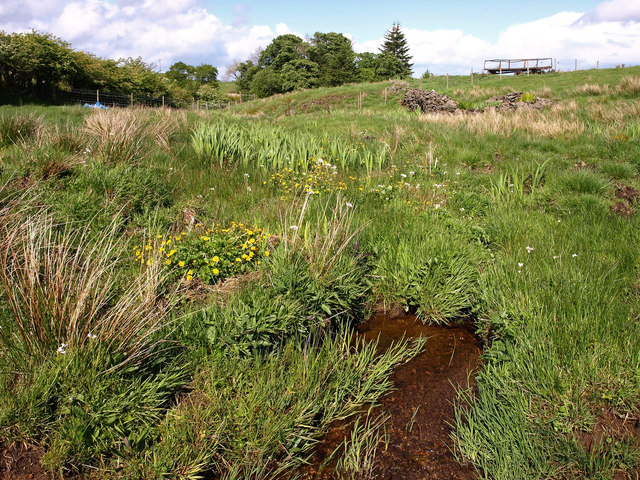
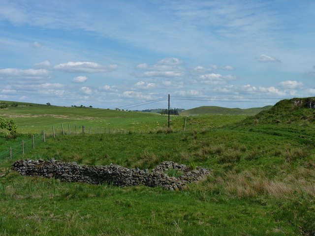
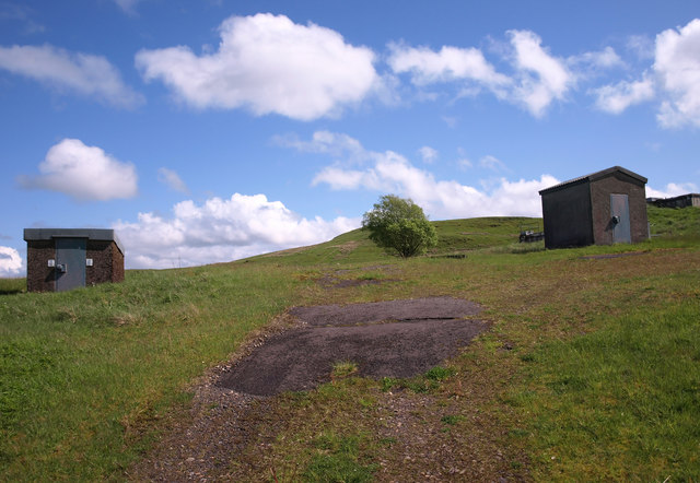
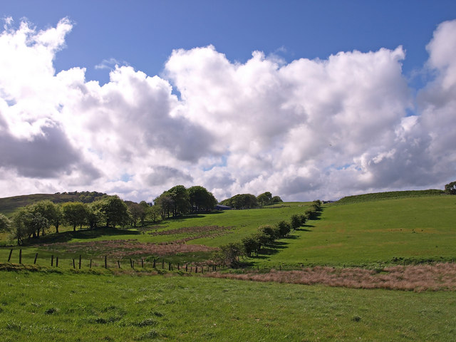
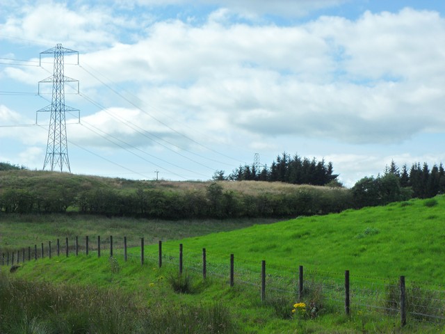
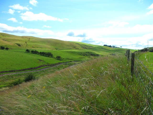
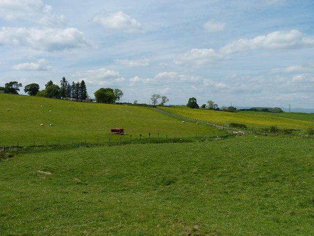
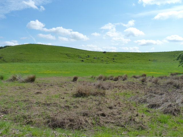
The hill is characterized by its distinctive rounded shape and is covered in a mix of heather, grass, and scattered patches of woodland. The winding trails leading up Greenhags Hill are well-maintained, making it accessible to walkers, hikers, and mountain bikers.
One of the main attractions of Greenhags Hill is the stunning panoramic view it offers from its summit. On a clear day, visitors can enjoy sweeping vistas of the surrounding Renfrewshire countryside, with the sparkling waters of Castle Semple Loch visible in the distance. The hill also provides an excellent vantage point for observing local wildlife, including birds of prey like buzzards and kestrels.
Greenhags Hill is a popular destination for outdoor enthusiasts seeking a challenging yet rewarding experience. Its accessibility and natural beauty make it a must-visit location for those exploring Renfrewshire's scenic landscapes.
If you have any feedback on the listing, please let us know in the comments section below.
Greenhags Hill Images
Images are sourced within 2km of 55.745396/-4.3735612 or Grid Reference NS5152. Thanks to Geograph Open Source API. All images are credited.


Greenhags Hill is located at Grid Ref: NS5152 (Lat: 55.745396, Lng: -4.3735612)
Unitary Authority: East Renfrewshire
Police Authority: Greater Glasgow
What 3 Words
///spotted.handicaps.upwardly. Near Newton Mearns, East Renfrewshire
Nearby Locations
Related Wikis

Netherplace
Netherplace is a hamlet in East Renfrewshire. It is to the west of Newton Mearns, and adjacent to the M77 motorway. The settlement is almost entirely along...

Newton Mearns
Newton Mearns (Scots: The Mearns; Scottish Gaelic: Baile Ùr na Maoirne [ˈpalə ˈuːɾ nə ˈmɯːrˠɲə]) is a suburban town and the largest settlement in East...
Whitecraigs RFC
Whitecraigs Rugby Football Club is a rugby union club based in Newton Mearns, East Renfrewshire, Scotland. The team competes in Scottish National League...
Glasgow Reform Synagogue
Glasgow Reform Synagogue is a synagogue in Newton Mearns, East Renfrewshire, Scotland. It is a member of the Movement for Reform Judaism and is the only...

Neilston Pad
Neilston Pad, referred to locally as The Pad, is a distinctive hill in East Renfrewshire, situated a mile (1.5 km) south of the village of Neilston. Its...

Pollock Castle
Pollock Castle, also known as Pollok Castle, was a tower house castle located to the west of modern Newton Mearns in East Renfrewshire, on the opposite...
Mearns Castle High School
Mearns Castle High School is a secondary school situated on Waterfoot Road in Newton Mearns, East Renfrewshire, Scotland roughly seven miles from Glasgow...

Craighall Reservoir
Craighall Reservoir, known locally as Craighall Dam, is one of a number of small reservoirs, situated around Neilston in East Renfrewshire, Scotland. The...
Nearby Amenities
Located within 500m of 55.745396,-4.3735612Have you been to Greenhags Hill?
Leave your review of Greenhags Hill below (or comments, questions and feedback).