Bryniau Ystumcegid

Hill, Mountain in Caernarfonshire

Wales

Bryniau Ystumcegid

A487 at western Garndolbenmaen junction
A487 at western Garndolbenmaen junction Credit: John Firth

Bryniau Ystumcegid is a prominent hill located in the historic county of Caernarfonshire, North Wales. It is situated near the village of Y Felinheli, approximately 5 miles southeast of the town of Caernarfon. The hill has an elevation of around 164 meters (538 feet) above sea level, making it a noticeable landmark in the surrounding area.

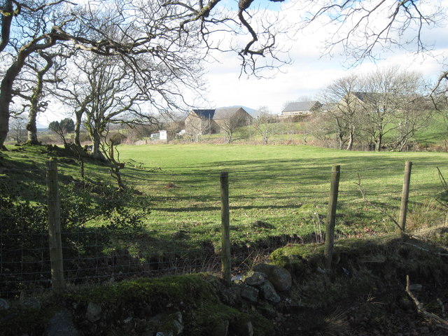
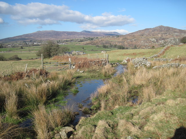
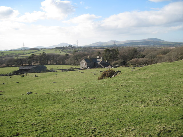
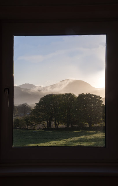
Bryniau Ystumcegid offers stunning panoramic views of the surrounding countryside, including the Menai Strait and the Snowdonia National Park. Its location provides visitors with an opportunity to appreciate the beauty and natural diversity of the region.

The hill is covered in a mixture of vegetation, including grasses, shrubs, and some scattered trees. It is also home to various species of wildlife, such as birds, small mammals, and insects, making it an attractive spot for nature enthusiasts and birdwatchers.

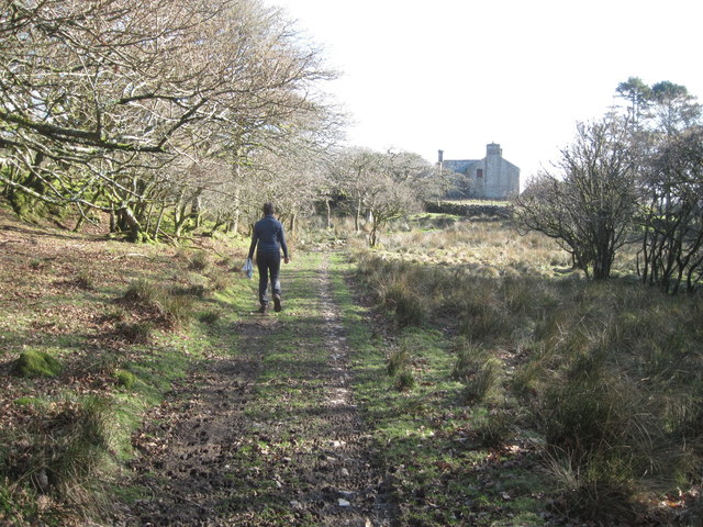
Bryniau Ystumcegid is easily accessible by foot, with several designated footpaths leading up to its summit. These paths offer varying levels of difficulty, catering to both casual walkers and more experienced hikers. The hill provides an excellent opportunity for outdoor activities such as hiking, picnicking, and photography.

Overall, Bryniau Ystumcegid is a picturesque hill in Caernarfonshire, offering breathtaking views of the surrounding landscape. Its accessibility and natural beauty make it a popular destination for locals and visitors alike, seeking a peaceful and scenic escape in the heart of North Wales.

If you have any feedback on the listing, please let us know in the comments section below.

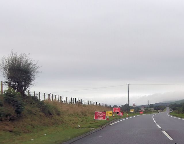
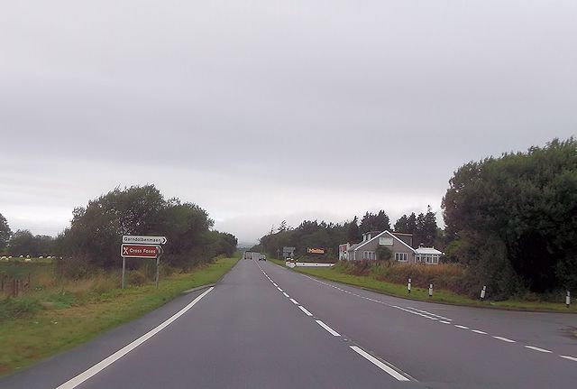
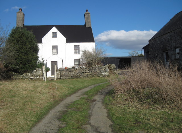
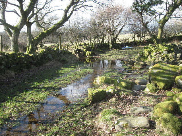
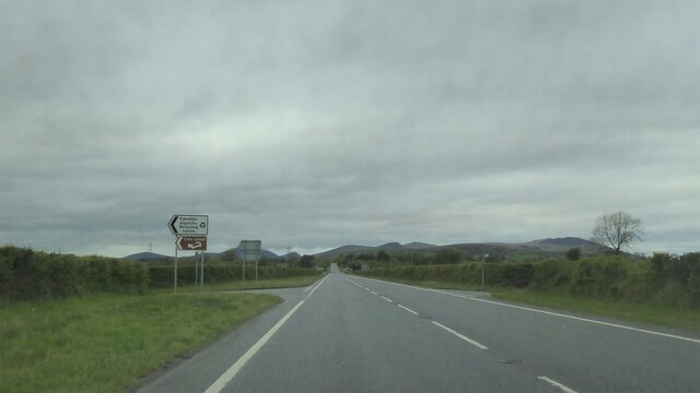
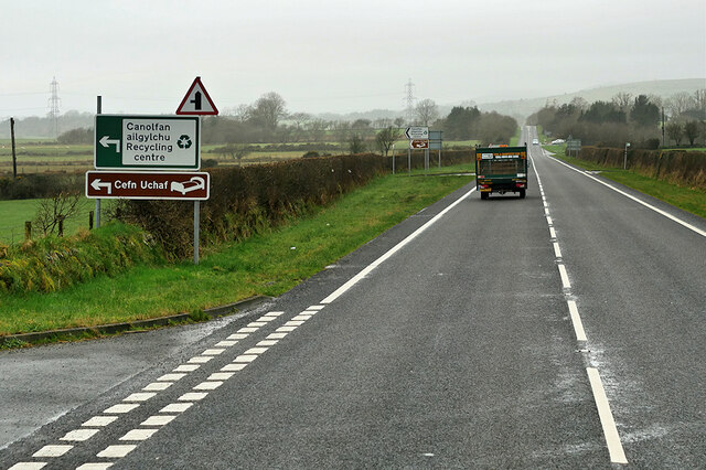
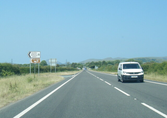
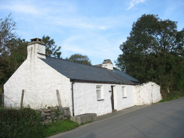
Bryniau Ystumcegid Images

Images are sourced within 2km of 52.953935/-4.2292671 or Grid Reference SH5041. Thanks to Geograph Open Source API. All images are credited.

A487 at western Garndolbenmaen junction
Turning for Cross Foxes from A487
Field near Beudy Mawr farm Looking across the Afon Dwyfor.
Field near Beudy Mawr farm
Looking across the Afon Dwyfor.
Boggy track near Ystumcegid Farm
Ystumcegid Farm
Ystumcegid Farm
Boggy track near Ystum-cegid-ganol
The track to Ystum-cegid-ganol
Field near Ystum-cegid-ganol
Morning arrives near Muriau With distant views of Snowdonia, Craig-y-garn and Craig Isallt, as seen through the hallway window of a B&B establishment.
Morning arrives near Muriau
With distant views of Snowdonia, Craig-y-garn and Craig Isallt, as seen through the hallway window of a B&B establishment.
Junction on A487
Junction on A487
A487 near Beudy Mawr The A487 is one of the most important roads in Wales. It covers the majority of the west coast from St Davids to Menai Bridge, and is a primary route for most of its length, including a section where it multiplexes with the A470, another important north-south road. Along the way, it runs through two national parks: Snowdonia and Pembrokeshire Coast. Despite its length and importance, it is predominantly single carriageway, although the road has been upgraded in numerous places. It is 174 miles long.
<span class="nowrap"><a title="http://www.sabre-roads.org.uk/wiki/index.php?title=A487" rel="nofollow ugc noopener" href="http://www.sabre-roads.org.uk/wiki/index.php?title=A487">Link</a><img style="margin-left:2px;" alt="External link" title="External link - shift click to open in new window" src="https://s1.geograph.org.uk/img/external.png" width="10" height="10"/></span>
A487 near Beudy Mawr
The A487 is one of the most important roads in Wales. It covers the majority of the west coast from St Davids to Menai Bridge, and is a primary route for most of its length, including a section where it multiplexes with the A470, another important north-south road. Along the way, it runs through two national parks: Snowdonia and Pembrokeshire Coast. Despite its length and importance, it is predominantly single carriageway, although the road has been upgraded in numerous places. It is 174 miles long. LinkExternal link
Pasture land near Gell Farm
Footbridge, Afon Dwyfor
Field Walls Near Rhoslan
A487 south of Garndolbenmaen
Tree near the footpath from Rhoslan to the Burial Chamber near Ystumcegid-isaf
The footbridge across Afon Dwyfor is closed
Footbridge across Afon Dwyfor The wooden part of the closed footbridge has fallen into disrepair, the iron part which crosses the river appears to be more solid at the moment.
Footbridge across Afon Dwyfor
The wooden part of the closed footbridge has fallen into disrepair, the iron part which crosses the river appears to be more solid at the moment.
Show me another place!

Bryniau Ystumcegid is located at Grid Ref: SH5041 (Lat: 52.953935, Lng: -4.2292671)

Unitary Authority: Gwynedd

Police Authority: North Wales

What 3 Words

///passing.summit.stealthier. Near Criccieth, Gwynedd

Nearby Locations

Bryniau Ystumcegid

Related Wikis

Dolbenmaen

Dolbenmaen () is a village and community in the Welsh county of Gwynedd, located in Eifionydd, of which it was the administrative centre until 1239. The...

Garndolbenmaen

Garndolbenmaen, known colloquially as Garn, is a village in the county of Gwynedd, Wales. It lies near the A487, approximately 6 miles (10 km) north west...

Cwm Pennant Fault

The Cwm Pennant Fault is a SSW-NNE trending normal fault system in North Wales. It forms part of the structures that bound the Snowdon graben. The main...

Ystumllyn

Ystumllyn is a Grade II* listed house in Criccieth, Wales. Founded in the late-16th-century, and significantly expanded in the early-18th-century, it is...

Nearby Amenities

Located within 500m of 52.953935,-4.2292671
Bryniau Ystumcegid
Ele: 180
Natural: peak
Lat/Long: 52.9538172/-4.2288009
The data included in this document is from www.openstreetmap.org. The data is made available under ODbL.

Have you been to Bryniau Ystumcegid?

Leave your review of Bryniau Ystumcegid below (or comments, questions and feedback).