Crow Hill
Hill, Mountain in Renfrewshire
Scotland
Crow Hill
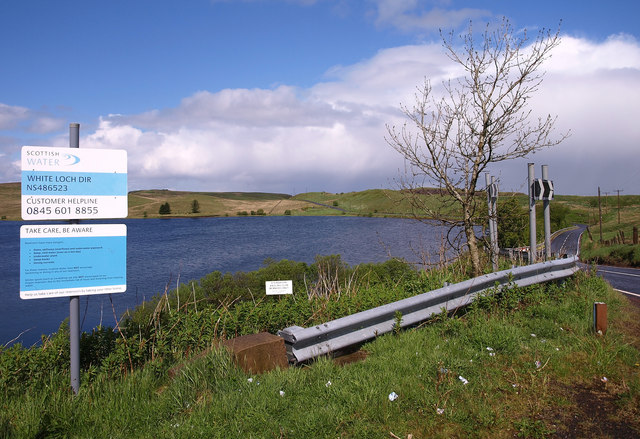
Crow Hill is a prominent hill located in Renfrewshire, Scotland. Situated near the village of Howwood, it forms part of the scenic landscape of the region. With an elevation of approximately 346 meters (1,135 feet), it offers stunning panoramic views of the surrounding countryside.
The hill is characterized by its gentle slopes, covered in a mix of grass, heather, and scattered trees. It is a popular destination for hikers and outdoor enthusiasts, attracting visitors from near and far. The well-maintained trails provide access to the summit, where a cairn marks the highest point.
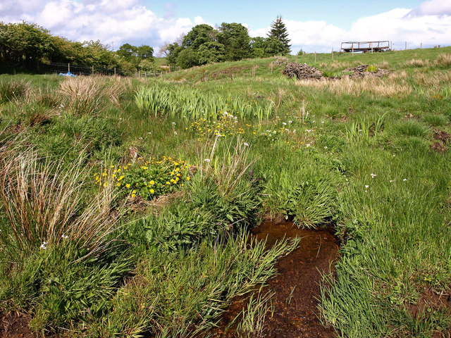
The diverse flora and fauna found on Crow Hill add to its natural beauty. The hill is home to a variety of plant species, including heather, gorse, and wildflowers, which create a colorful tapestry during the summer months. Birdwatchers can spot various avian species, such as kestrels, buzzards, and meadow pipits, as they soar above the hill.
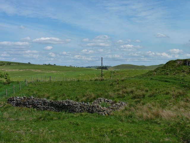
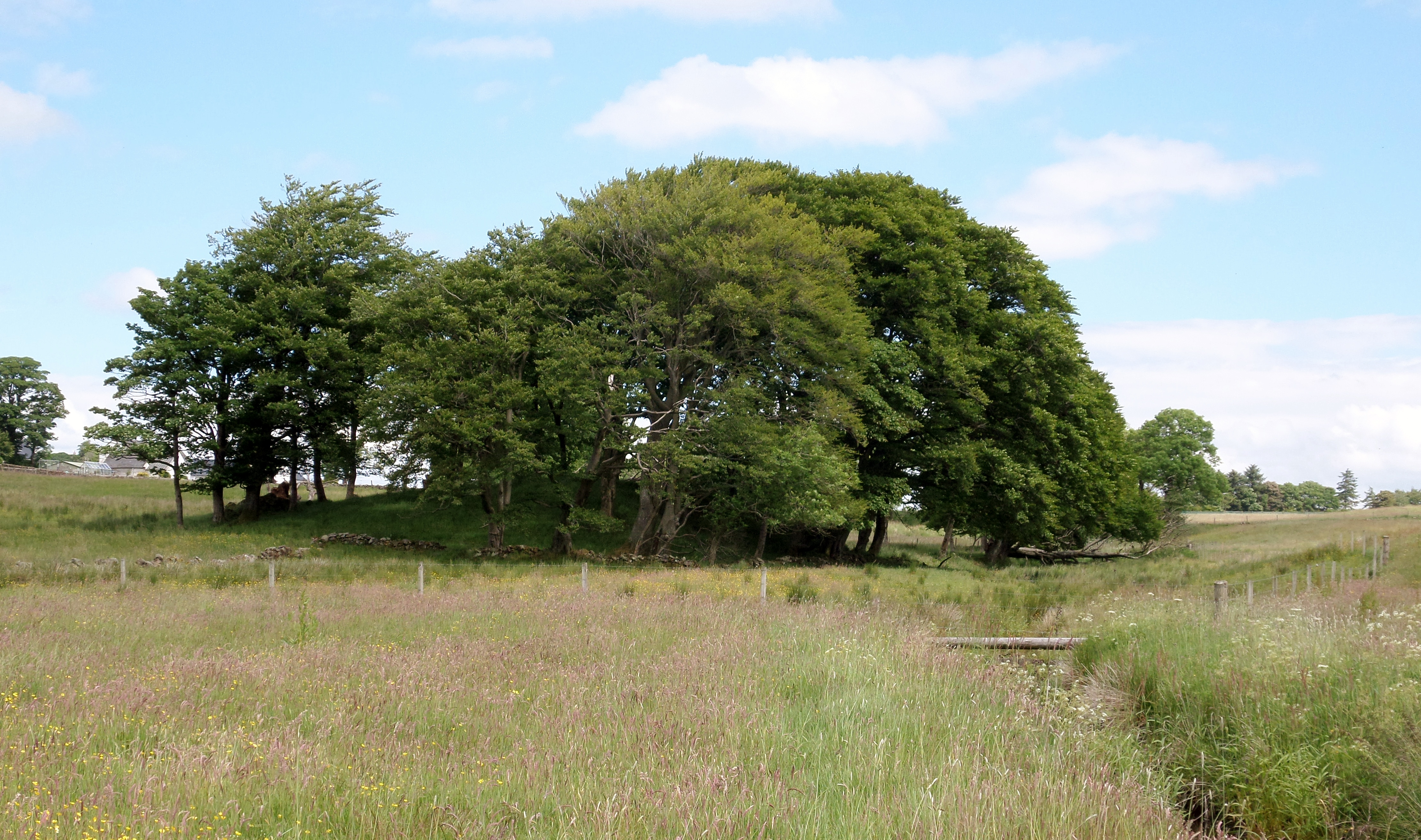
Apart from its natural attractions, Crow Hill also holds historical significance. The remains of an Iron Age fort can be found on the eastern slopes, indicating human occupation in the area dating back thousands of years. These archaeological remnants offer insight into the region's ancient past and attract history enthusiasts.
Overall, Crow Hill in Renfrewshire offers a combination of natural beauty, recreational opportunities, and historical significance. Whether visitors are seeking a peaceful walk, breathtaking views, or a glimpse into the past, this hill provides a captivating experience for all.
If you have any feedback on the listing, please let us know in the comments section below.
Crow Hill Images
Images are sourced within 2km of 55.736488/-4.3944306 or Grid Reference NS4951. Thanks to Geograph Open Source API. All images are credited.


Crow Hill is located at Grid Ref: NS4951 (Lat: 55.736488, Lng: -4.3944306)
Unitary Authority: East Renfrewshire
Police Authority: Greater Glasgow
What 3 Words
///shade.computers.warblers. Near Neilston, East Renfrewshire
Nearby Locations
Related Wikis
Lands of Blacklaw
The Lands of Blacklaw formed a small property of five merks worth, in the Lordship of Stewarton at the eastern extremity of Strathannick, between the hamlet...

Neilston Pad
Neilston Pad, referred to locally as The Pad, is a distinctive hill in East Renfrewshire, situated a mile (1.5 km) south of the village of Neilston. Its...

Craighall Reservoir
Craighall Reservoir, known locally as Craighall Dam, is one of a number of small reservoirs, situated around Neilston in East Renfrewshire, Scotland. The...

Netherplace
Netherplace is a hamlet in East Renfrewshire. It is to the west of Newton Mearns, and adjacent to the M77 motorway. The settlement is almost entirely along...
Nearby Amenities
Located within 500m of 55.736488,-4.3944306Have you been to Crow Hill?
Leave your review of Crow Hill below (or comments, questions and feedback).