Crow Hill

Hill, Mountain in Stirlingshire

Scotland

Crow Hill

Blane Bridge Spans the Blane Water
Blane Bridge Credit: Chris Upson

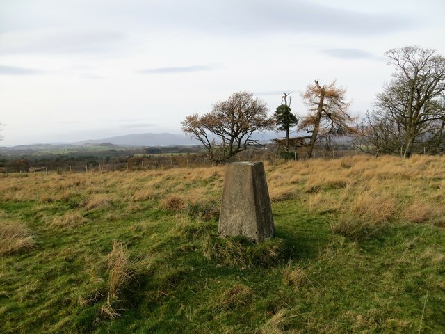
Crow Hill is a prominent hill located in Stirlingshire, Scotland. Rising to a height of approximately 481 meters (1,578 feet), it is situated within the Loch Lomond and The Trossachs National Park. The hill is part of the Campsie Fells range, which extends across central Scotland.

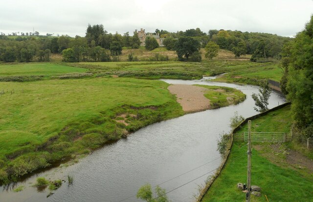
Crow Hill is easily accessible and attracts a range of outdoor enthusiasts, from hikers and walkers to nature lovers and photographers. The hill offers stunning panoramic views of the surrounding countryside, including the nearby towns of Kilsyth and Kirkintilloch. On a clear day, it is possible to spot the towering Ben Lomond and the Campsie Glen.

The ascent of Crow Hill is moderately challenging, with a well-marked trail leading to its summit. The path is mainly composed of grassy slopes, but some sections may be muddy and uneven, so proper footwear is recommended. The hill is also home to a variety of wildlife, including birds of prey such as kestrels and buzzards, adding to its natural beauty.

At the summit of Crow Hill, visitors are rewarded with breathtaking vistas. The tranquil surroundings provide a perfect spot for picnics or simply to appreciate the serenity of nature. The hill is ideal for those seeking a peaceful escape from the hustle and bustle of city life.

Overall, Crow Hill offers outdoor enthusiasts and nature lovers a chance to experience the beauty of the Scottish countryside. With its accessible location, stunning views, and diverse wildlife, it is a must-visit destination for those exploring Stirlingshire and the surrounding areas.

If you have any feedback on the listing, please let us know in the comments section below.
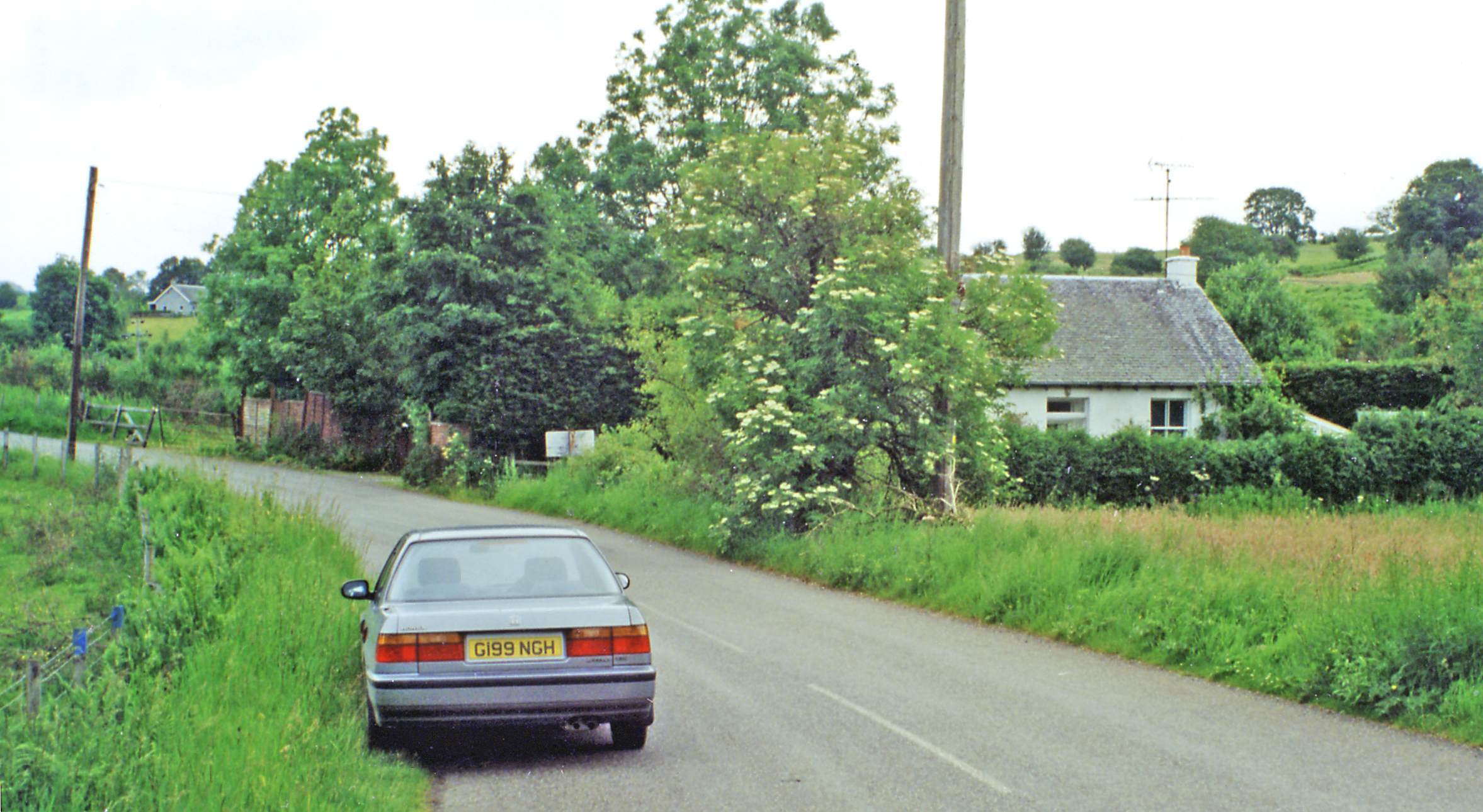
Crow Hill Images

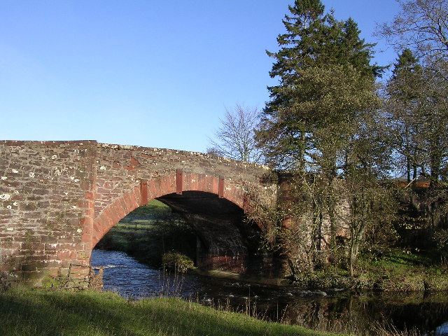
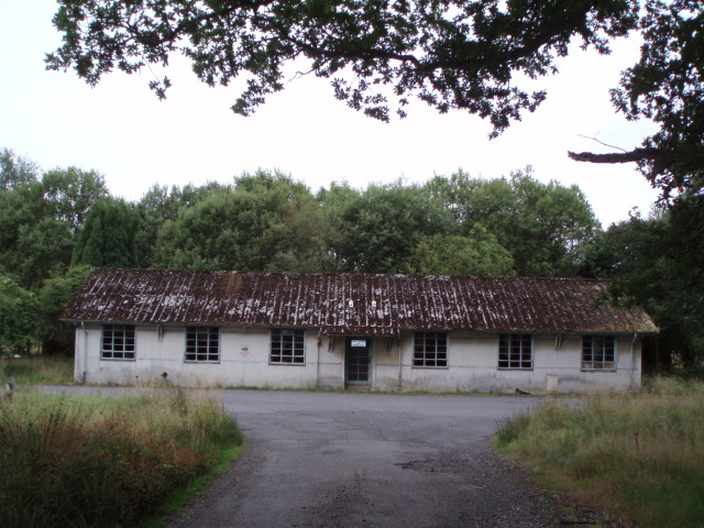
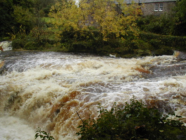
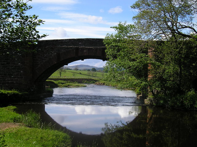
Images are sourced within 2km of 56.043528/-4.4160408 or Grid Reference NS4986. Thanks to Geograph Open Source API. All images are credited.

Blane Bridge Spans the Blane Water
Blane Bridge
Spans the Blane Water
Last House in Killearn Before hitting open countryside to the south west
Last House in Killearn
Before hitting open countryside to the south west
West Highland Way at Gartness Running along the course of a disused railway
West Highland Way at Gartness
Running along the course of a disused railway
Gartness Bridge
Gartness Bridge
Killearn Bridge Magnificent sandstone bridge spanning the Endrick Water. This bridge is completely invisible from the A81 when you drive across it.
Killearn Bridge
Magnificent sandstone bridge spanning the Endrick Water. This bridge is completely invisible from the A81 when you drive across it.
Derelict Buildings Derelict buildings to the east of Killearn House. A new roundabout has just been built opposite.
Derelict Buildings
Derelict buildings to the east of Killearn House. A new roundabout has just been built opposite.
Weir on River Endrick River in Spate
Weir on River Endrick
River in Spate
River Endrick waterfall This area is a very popular spot for watching salmon leap up the falls.  This picture was taken when the river was in spate.  Normally there are three main channels and the drop is about 15 feet. Today the drop was about 5 feet
River Endrick waterfall
This area is a very popular spot for watching salmon leap up the falls. This picture was taken when the river was in spate. Normally there are three main channels and the drop is about 15 feet. Today the drop was about 5 feet
Weir from Gartness Bridge
The Blane Bridge A lovely perfectly formed bridge over the River Blane before it meets the Endrick.
The Blane Bridge
A lovely perfectly formed bridge over the River Blane before it meets the Endrick.
The Endrick Water Seen from the Endrick Viaduct. Dalnair House is in the distance.
The Endrick Water
Seen from the Endrick Viaduct. Dalnair House is in the distance.
Dalnair House Seen from the Endrick Viaduct. A Category B listed baronial mansion <span class="nowrap"><a title="http://portal.historicenvironment.scot/designation/LB49000" rel="nofollow ugc noopener" href="http://portal.historicenvironment.scot/designation/LB49000">Link</a><img style="margin-left:2px;" alt="External link" title="External link - shift click to open in new window" src="https://s1.geograph.org.uk/img/external.png" width="10" height="10"/></span> dating from 1884. It is also known as Dalnair Castle. It has recently been extensively renovated as a residential development of 10 luxury apartments.
Dalnair House
Seen from the Endrick Viaduct. A Category B listed baronial mansion LinkExternal link dating from 1884. It is also known as Dalnair Castle. It has recently been extensively renovated as a residential development of 10 luxury apartments.
Galls Silk button galls formed by Neuroterus numismalis, a cynipid wasp; and common spangle galls formed by another cynipid wasp, Neuroterus quercusbaccarum on an oak leak.
Galls
Silk button galls formed by Neuroterus numismalis, a cynipid wasp; and common spangle galls formed by another cynipid wasp, Neuroterus quercusbaccarum on an oak leak.
Grazing ponies Beside Spittal.
Grazing ponies
Beside Spittal.
Confined space The padlocked door gives access to some steps down into some kind of chamber - presumably relating to water supply. The sign on the door warns of a 'confined space' and no unauthorised entry.
Confined space
The padlocked door gives access to some steps down into some kind of chamber - presumably relating to water supply. The sign on the door warns of a 'confined space' and no unauthorised entry.
Croftamie Farm Seen from the minor road to the southwest of the village.
Croftamie Farm
Seen from the minor road to the southwest of the village.
Aucheneck trig pillar
T. V. relay mast for the Killearn area
Show me another place!

Crow Hill is located at Grid Ref: NS4986 (Lat: 56.043528, Lng: -4.4160408)

Unitary Authority: Stirling

Police Authority: Forth Valley

What 3 Words

///jumpy.optimists.dustbin. Near Killearn, Stirling

Nearby Locations

Crow Hill

Related Wikis

Gartness railway station

Gartness railway station served the hamlet of Gartness, Stirling, Scotland, from 1856 to 1934 on the Forth and Clyde Junction Railway. == History == The...

Finnich Glen

Finnich Glen in Stirlingshire, is a short, steep glen up to 70 ft deep which runs east from Finnich Bridge on the A809. It was carved from the red sandstone...

Gartness

Gartness is a hamlet in Stirling, Scotland. It is located 1.8 miles/2.9 km from Killearn and 3.1 miles/5 km from Drymen. Most pupils attend Killearn Primary...
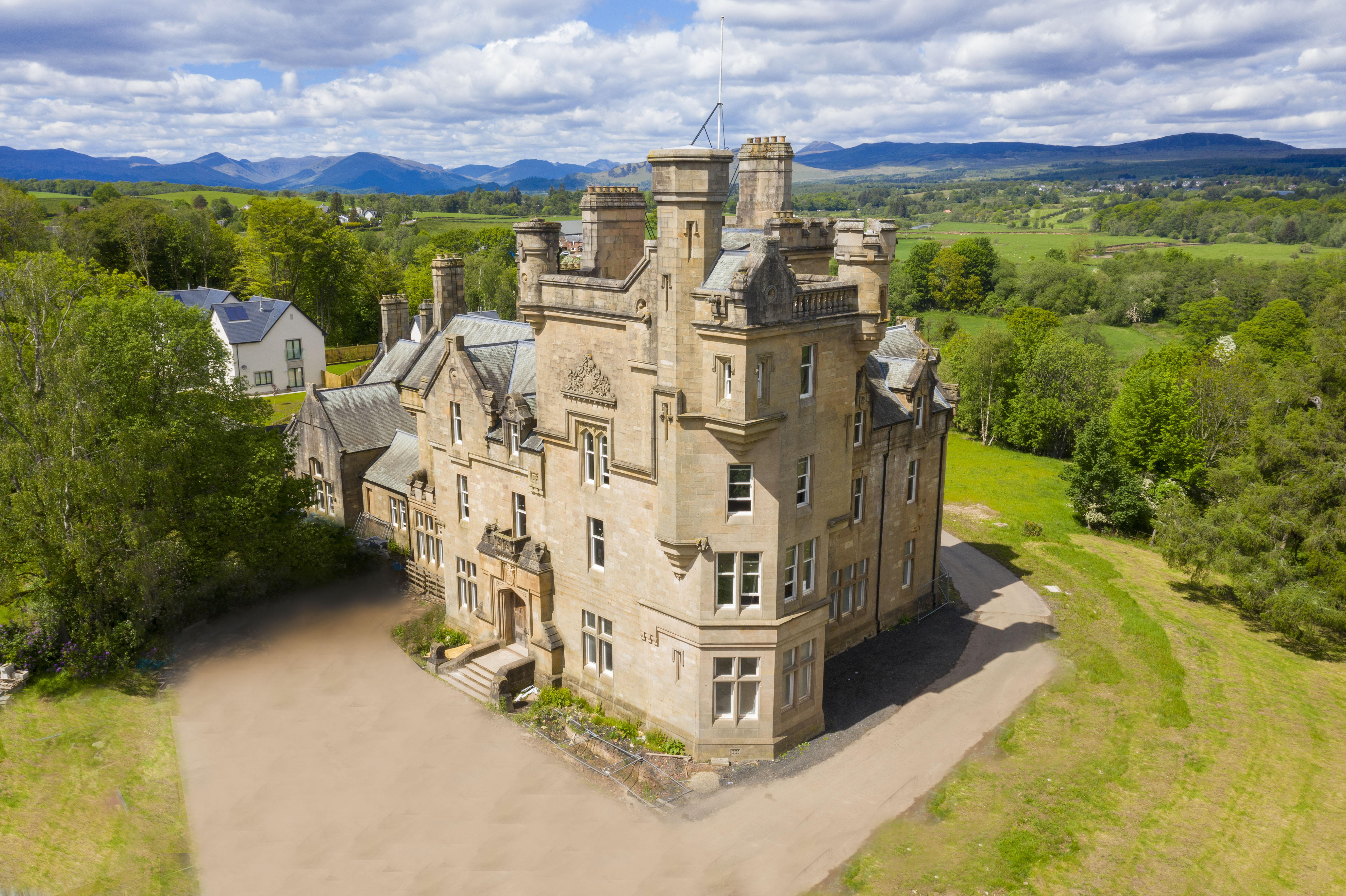
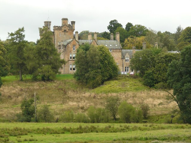
Dalnair Castle

Dalnair Castle, also known as Dalnair House, is a Scottish baronial castle dating from around 1884. It is located outside the village of Croftamie in Stirling...

Nearby Amenities

Located within 500m of 56.043528,-4.4160408
Power: pole
Lat/Long: 56.0403658/-4.4104908
Power: pole
Lat/Long: 56.0407126/-4.4099327
Power: pole
Lat/Long: 56.0410537/-4.4093601
Design: barrel
Power: tower
Source: Bing
Lat/Long: 56.0476174/-4.4174228
Design: barrel
Power: tower
Source: Bing
Lat/Long: 56.0443636/-4.415224
Design: barrel
Power: tower
Lat/Long: 56.0412707/-4.413169
Power: pole
Lat/Long: 56.0475321/-4.4143822
Power: pole
Lat/Long: 56.0471874/-4.4145181
The data included in this document is from www.openstreetmap.org. The data is made available under ODbL.

Have you been to Crow Hill?

Leave your review of Crow Hill below (or comments, questions and feedback).