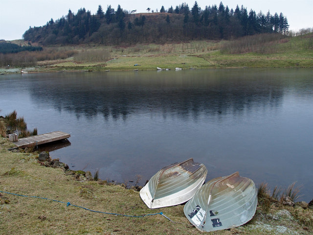
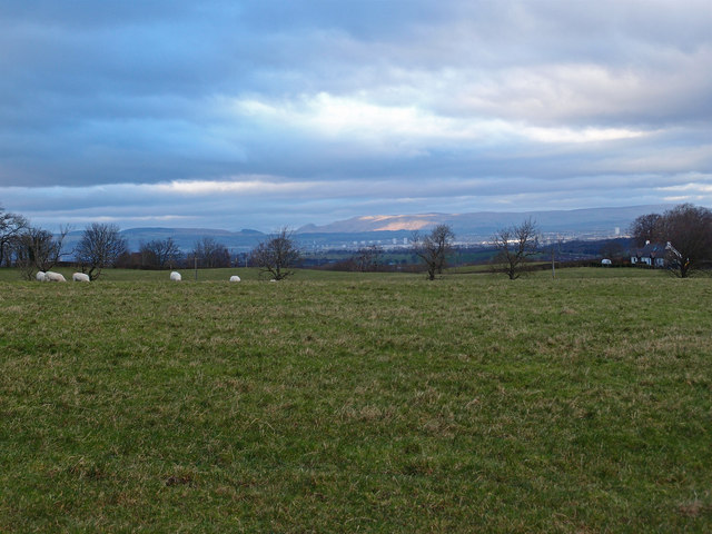
Dyke Hill
Hill, Mountain in Renfrewshire
Scotland
Dyke Hill
The requested URL returned error: 429 Too Many Requests
If you have any feedback on the listing, please let us know in the comments section below.
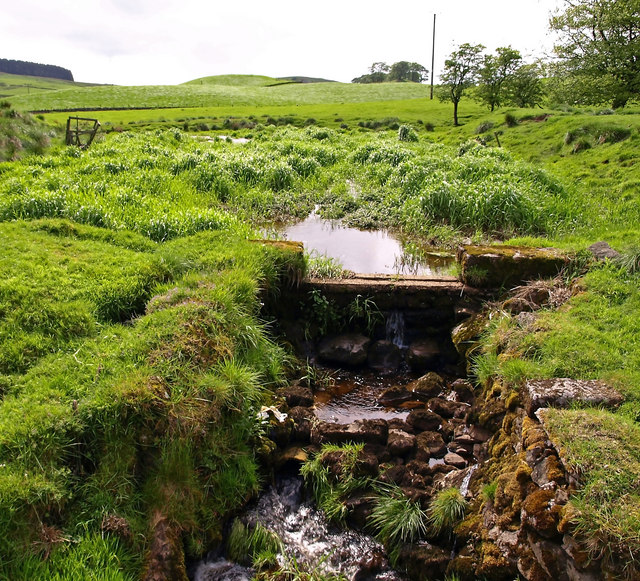
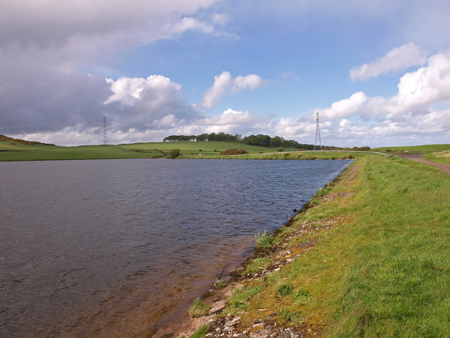
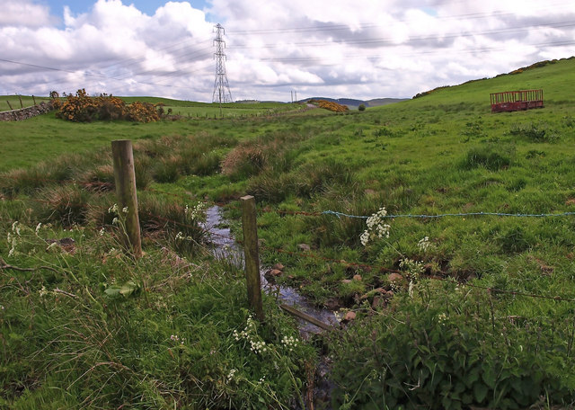
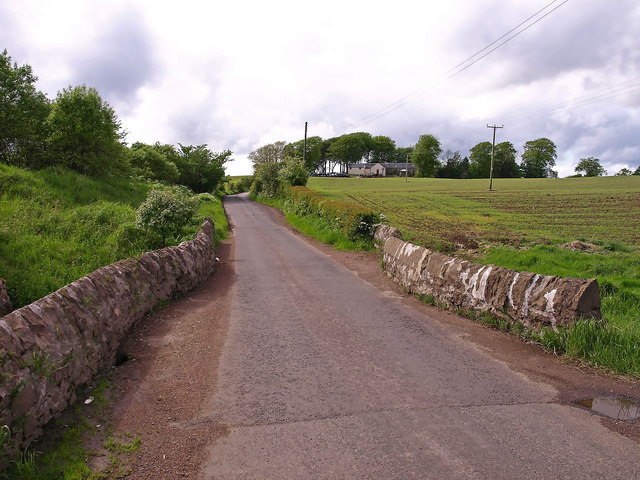
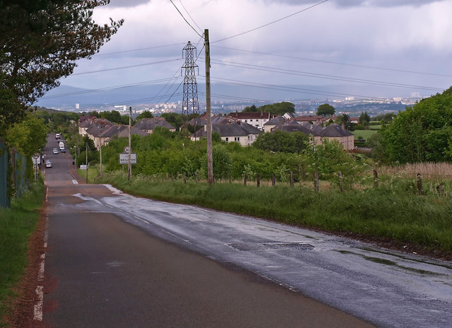
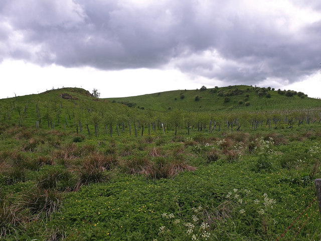
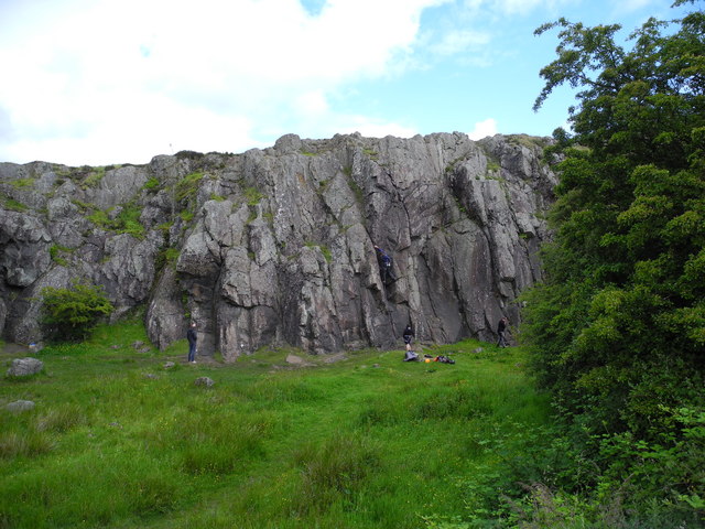
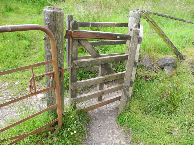
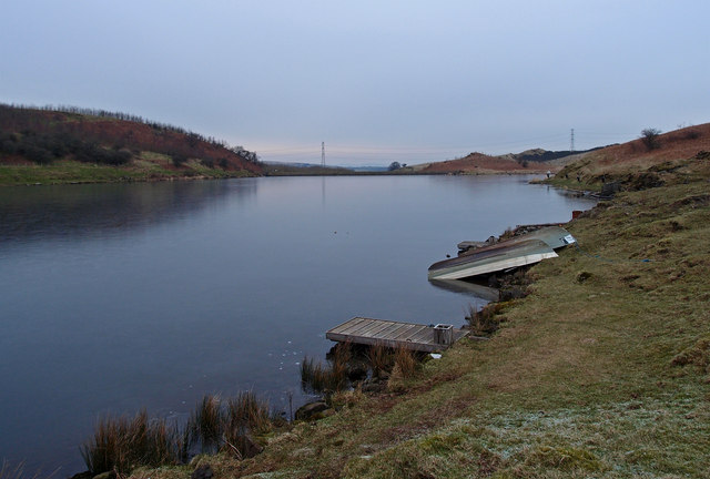
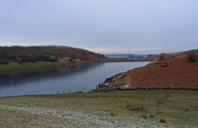
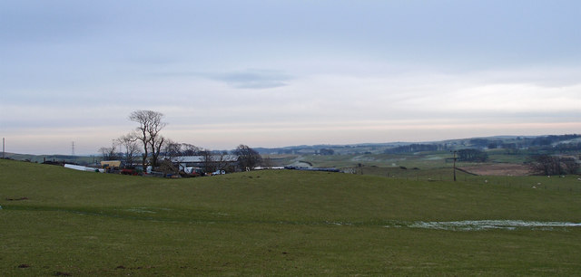
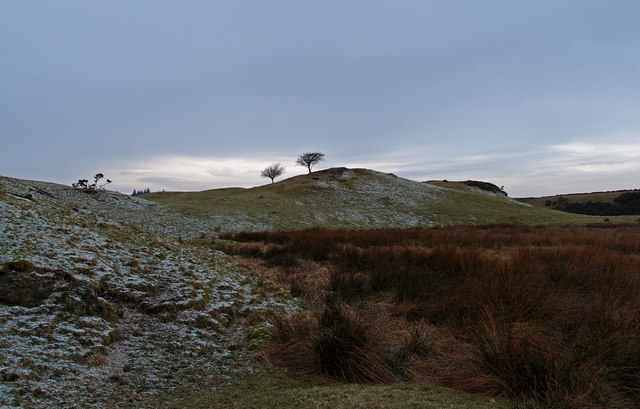
Dyke Hill Images
Images are sourced within 2km of 55.773952/-4.4108402 or Grid Reference NS4856. Thanks to Geograph Open Source API. All images are credited.

Dyke Hill is located at Grid Ref: NS4856 (Lat: 55.773952, Lng: -4.4108402)
Unitary Authority: East Renfrewshire
Police Authority: Greater Glasgow
What 3 Words
///miss.assist.studio. Near Neilston, East Renfrewshire
Nearby Locations
Related Wikis
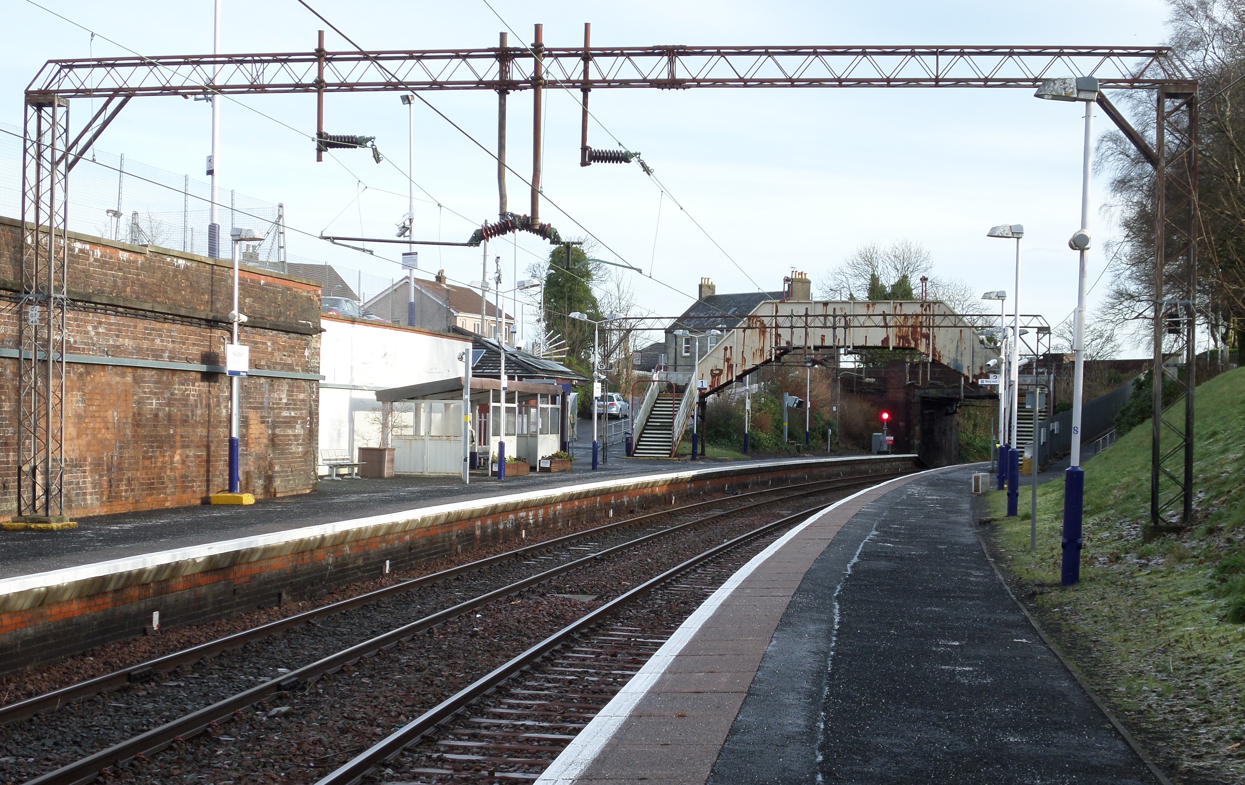
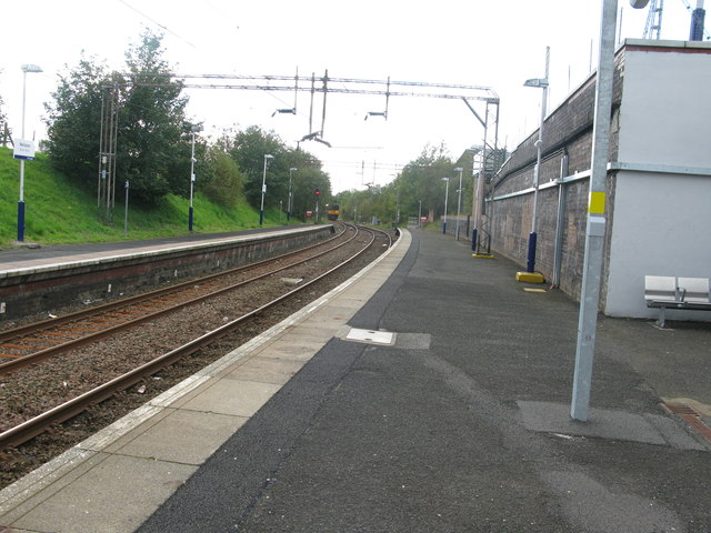
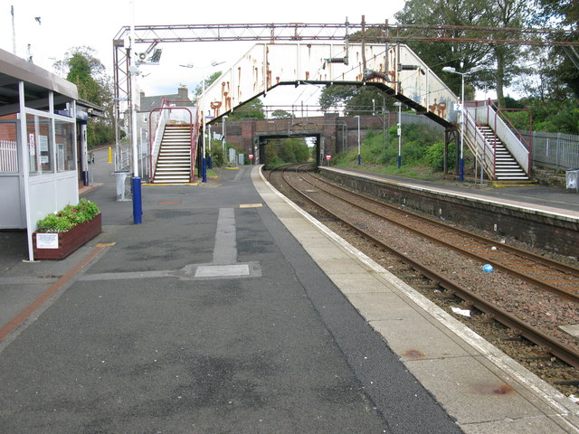
Neilston railway station
Neilston railway station is a railway station in the village of Neilston, East Renfrewshire, Greater Glasgow, Scotland. The station is managed by ScotRail...
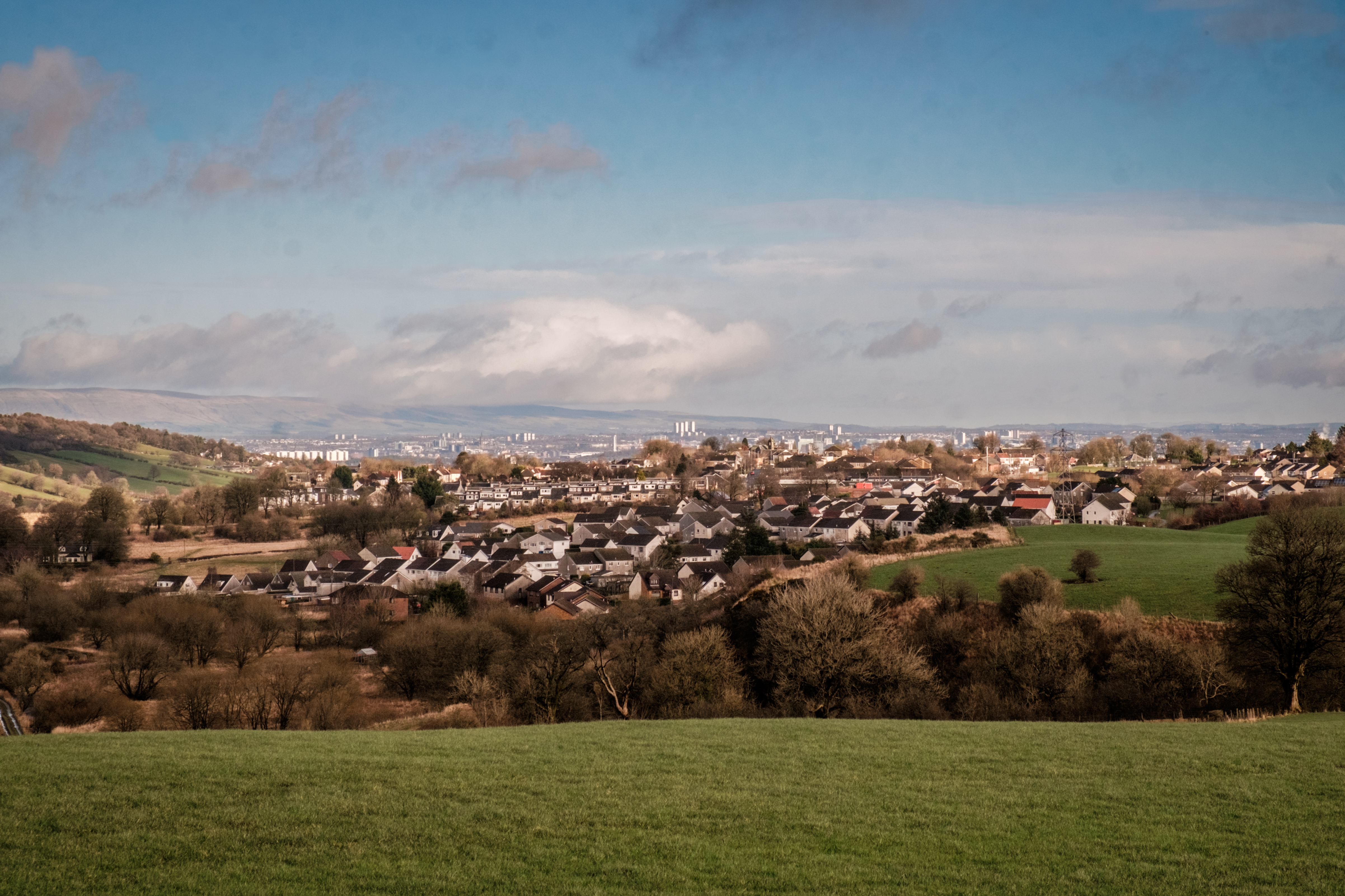
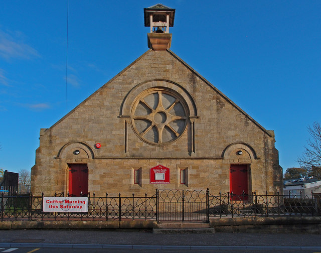
Neilston
Neilston (Scots: Neilstoun, Scottish Gaelic: Baile Nèill, pronounced [paləˈnɛːʎ]) is a village and parish in East Renfrewshire in the west central Lowlands...

Neilston Pad
Neilston Pad, referred to locally as The Pad, is a distinctive hill in East Renfrewshire, situated a mile (1.5 km) south of the village of Neilston. Its...

Netherton Goods station
Netherton Goods station or Netherton Depot was a railway public freight facility located between Neilston railway station and Patterton railway station...
Nearby Amenities
Located within 500m of 55.773952,-4.4108402Have you been to Dyke Hill?
Leave your review of Dyke Hill below (or comments, questions and feedback).