Cefn-Uchaf

Hill, Mountain in Caernarfonshire

Wales

Cefn-Uchaf

Pont Rhyd-y-benllig
Pont Rhyd-y-benllig Credit: Alan Fryer

The requested URL returned error: 429 Too Many Requests

If you have any feedback on the listing, please let us know in the comments section below.
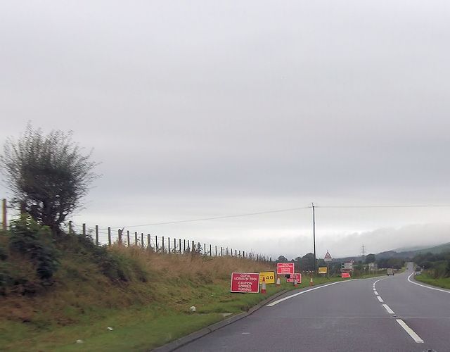
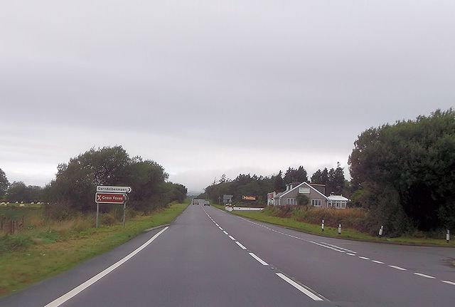
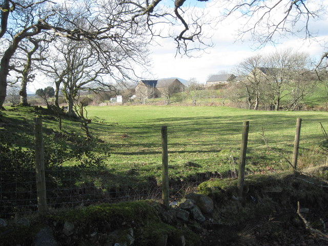
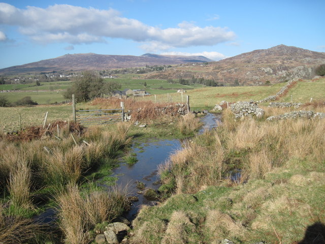
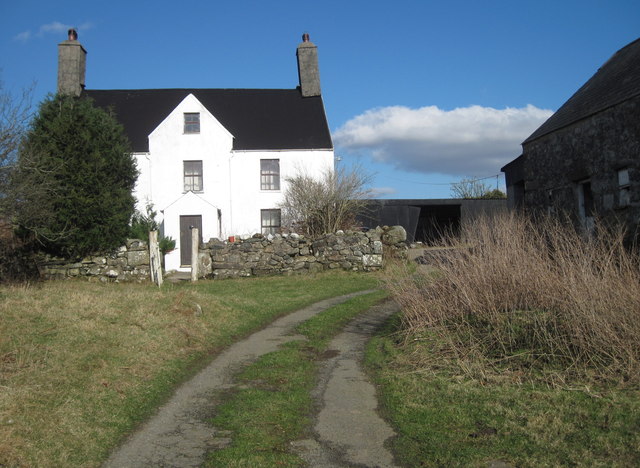
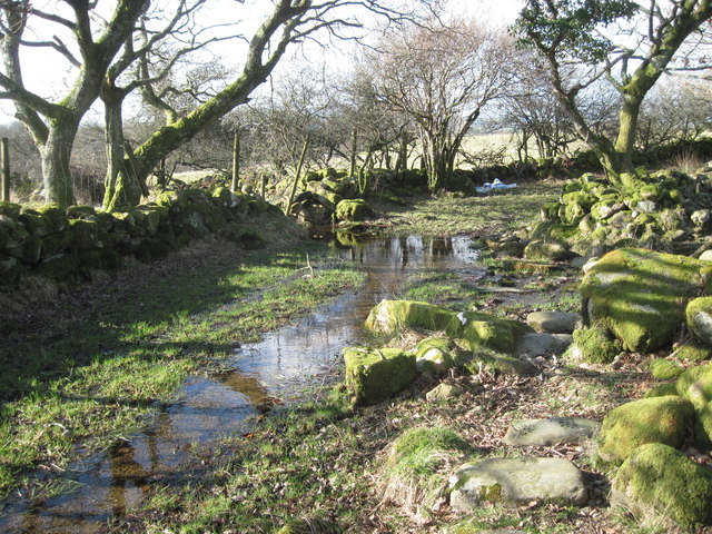
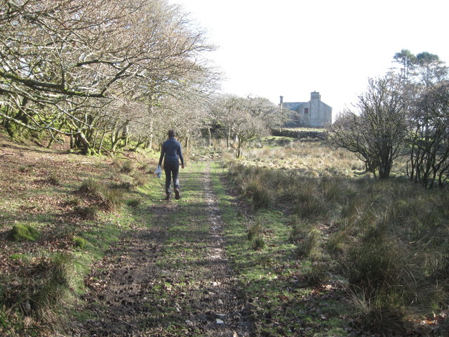
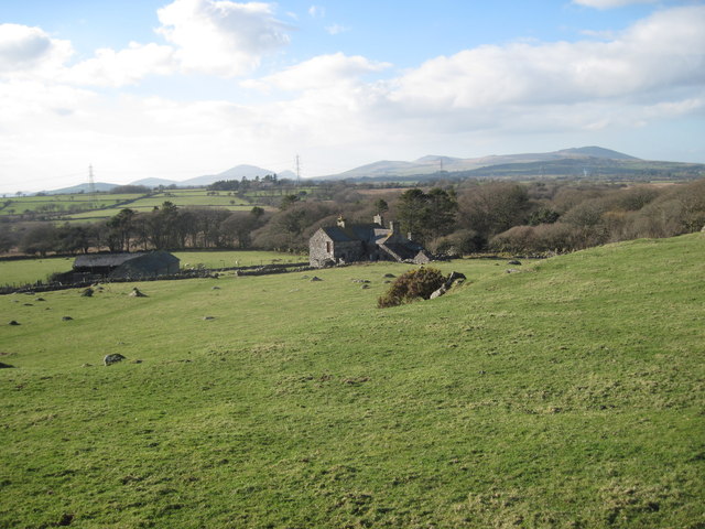
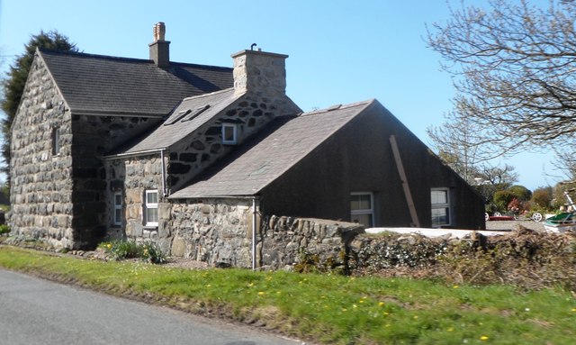
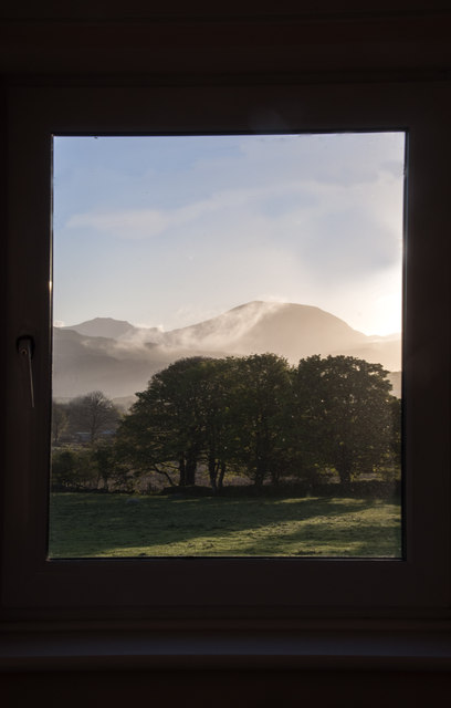
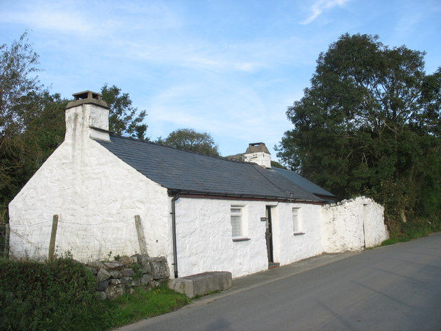
Cefn-Uchaf Images

Images are sourced within 2km of 52.951476/-4.2528553 or Grid Reference SH4841. Thanks to Geograph Open Source API. All images are credited.

Pont Rhyd-y-benllig
Pont Rhyd-y-benllig
Pont Rhyd-y-benllig
Pont Rhyd-y-benllig
Pont Rhyd-y-benllig The B4411 crosses Afon Dwyfor.
Pont Rhyd-y-benllig
The B4411 crosses Afon Dwyfor.
A487 at western Garndolbenmaen junction
Turning for Cross Foxes from A487
Approaching B4411 junction from A487
Field near Beudy Mawr farm Looking across the Afon Dwyfor.
Field near Beudy Mawr farm
Looking across the Afon Dwyfor.
Boggy track near Ystumcegid Farm
Ystumcegid Farm
Ystumcegid Farm
Boggy track near Ystum-cegid-ganol
The track to Ystum-cegid-ganol
Field near Ystum-cegid-ganol
Lane south of Rhoslan
Cottage at Rhoslan
Cottage at Rhoslan
Pylon near the B4411
Energy beyond a gate
Morning arrives near Muriau With distant views of Snowdonia, Craig-y-garn and Craig Isallt, as seen through the hallway window of a B&B establishment.
Morning arrives near Muriau
With distant views of Snowdonia, Craig-y-garn and Craig Isallt, as seen through the hallway window of a B&B establishment.
Show me another place!

Cefn-Uchaf is located at Grid Ref: SH4841 (Lat: 52.951476, Lng: -4.2528553)

Unitary Authority: Gwynedd

Police Authority: North Wales

What 3 Words

///masterpiece.doted.seeing. Near Criccieth, Gwynedd

Related Wikis

Ynys railway station

Ynys was a railway station opened in 1872 by the LNWR next to a level crossing in a small hamlet north of Criccieth, Gwynedd. It closed in December 1964...

Dolbenmaen

Dolbenmaen () is a village and community in the Welsh county of Gwynedd, located in Eifionydd, of which it was the administrative centre until 1239. The...

Garndolbenmaen

Garndolbenmaen, known colloquially as Garn, is a village in the county of Gwynedd, Wales. It lies near the A487, approximately 6 miles (10 km) north west...

Eifionydd

Eifionydd (Welsh pronunciation: [ɛiˈvjɔnɨð]) is an area in north-west Wales covering the south-eastern part of the Llŷn Peninsula from Porthmadog to just...

Nearby Amenities

Located within 500m of 52.951476,-4.2528553
Power: tower
Lat/Long: 52.95381/-4.2501026
Power: tower
Lat/Long: 52.9511456/-4.2479322
Cefn-Uchaf
Description: OS trig pillar
Ele: 111.834
Man Made: survey_point
Ref: S8130
Source: Ordnance Survey and Trigpointing.uk
Survey Point: pillar
Tpuk Ref: TP2092
Lat/Long: 52.951476/-4.252855
The data included in this document is from www.openstreetmap.org. The data is made available under ODbL.

Have you been to Cefn-Uchaf?

Leave your review of Cefn-Uchaf below (or comments, questions and feedback).