Brown Rig
Hill, Mountain in Ayrshire
Scotland
Brown Rig

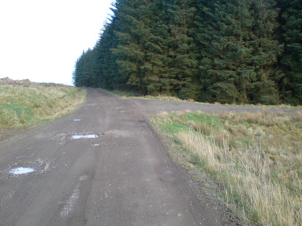
Brown Rig is a prominent hill located in the picturesque region of Ayrshire, Scotland. Standing at an elevation of approximately 300 meters (984 feet), it offers breathtaking panoramic views of the surrounding landscape. The hill is situated within the expansive Galloway Forest Park, renowned for its diverse wildlife and stunning natural beauty.
Covered in heather and grasses, Brown Rig showcases the typical moorland characteristics of the area. The hill's slopes are gentle and undulating, making it accessible for hikers of various skill levels. Its summit provides an ideal vantage point for visitors to admire the rolling hills, dense forests, and sparkling lochs that define the Ayrshire countryside.
The hill is a popular destination for outdoor enthusiasts, offering a range of activities such as hiking, birdwatching, and photography. Its tranquil environment and serene atmosphere make it an excellent spot for those seeking solace and a connection with nature.
To reach Brown Rig, visitors can follow well-marked trails that wind through the surrounding forest. Along the way, they may encounter various native species, including red deer, golden eagles, and red squirrels. It is advisable to check weather conditions before embarking on the hike, as the Scottish climate can be unpredictable, and appropriate clothing and footwear are essential.
Overall, Brown Rig in Ayrshire offers a serene and picturesque setting for nature lovers and outdoor enthusiasts alike, providing an opportunity to immerse oneself in the breathtaking beauty of the Scottish countryside.
If you have any feedback on the listing, please let us know in the comments section below.
Brown Rig Images
Images are sourced within 2km of 55.376297/-4.3911778 or Grid Reference NS4811. Thanks to Geograph Open Source API. All images are credited.


Brown Rig is located at Grid Ref: NS4811 (Lat: 55.376297, Lng: -4.3911778)
Unitary Authority: East Ayrshire
Police Authority: Ayrshire
What 3 Words
///crouch.raves.trending. Near Dalmellington, East Ayrshire
Nearby Locations
Related Wikis
Rankinston
Rankinston is a village in East Ayrshire, Scotland, 3⁄4 mile (1.2 km) off the B730, approximately 12 miles (19 km) south east of the town of Ayr. Rankinston...
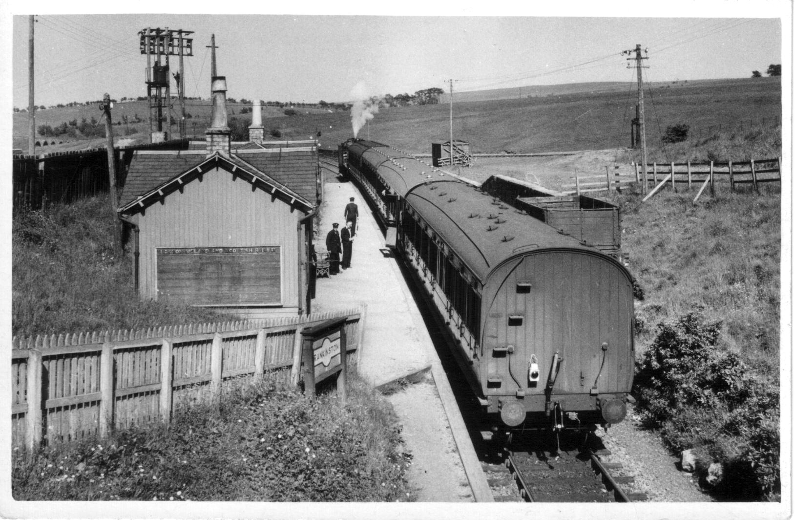
Rankinston railway station
Rankinston railway station was a railway station serving the village of Rankinston, East Ayrshire, Scotland. The station was by the Glasgow and South Western...
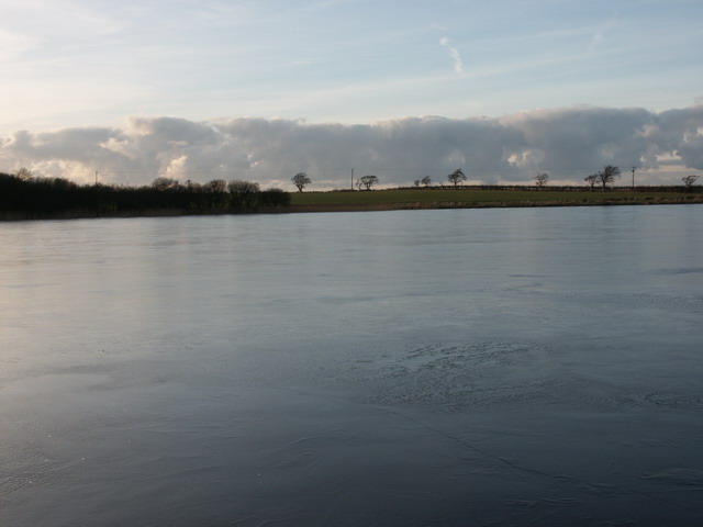
Belston Loch
Belston Loch (NS 34894 16186), also recorded as Dromsmodda Loch is a small freshwater loch in the East Ayrshire Council Area, near Sinclairston, 2 miles...

Doon Academy
Doon Academy is a secondary school in Dalmellington that caters to the local surrounding areas Dalmellington, Patna, Rankinston and Bellsbank. The current...
Have you been to Brown Rig?
Leave your review of Brown Rig below (or comments, questions and feedback).