Castle Hill
Hill, Mountain in Renfrewshire
Scotland
Castle Hill
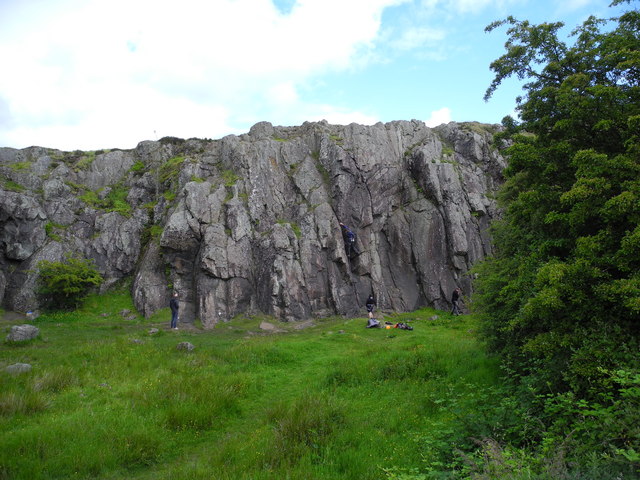
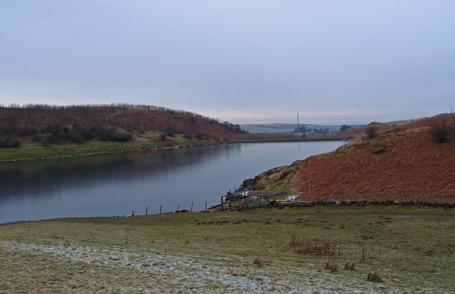
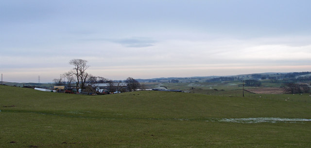
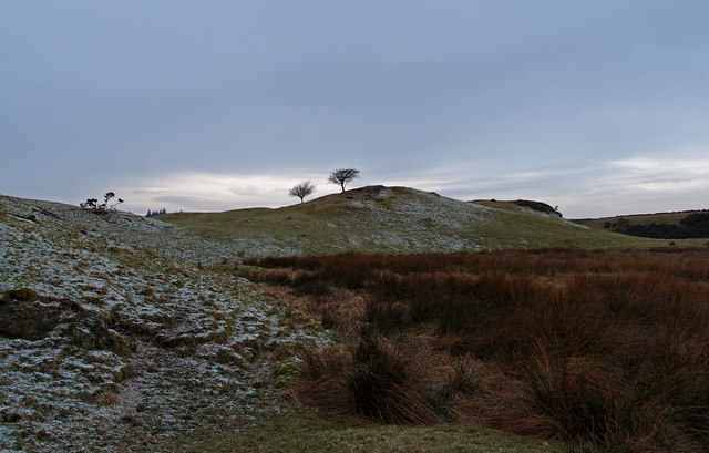
Castle Hill is a prominent hill located in Renfrewshire, Scotland. Situated approximately 12 miles west of Glasgow, it is a popular landmark that offers stunning views of the surrounding countryside. Rising to a height of 430 feet, Castle Hill is a notable feature in the region's landscape.
The hill derives its name from the ancient castle that once stood on its summit. Believed to have been built in the 12th century, the castle served as a stronghold for the powerful Stewarts of Renfrew. Unfortunately, all that remains today are the ruins, but they still provide an intriguing glimpse into the area's rich history.
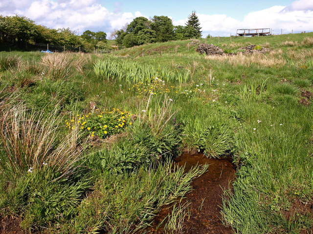
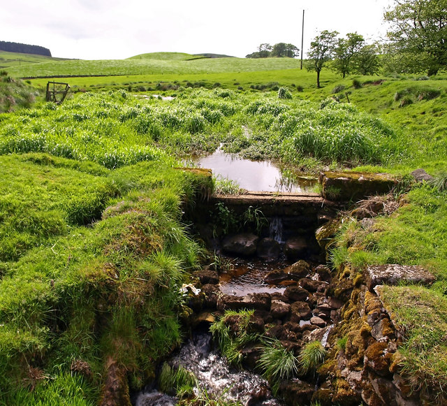
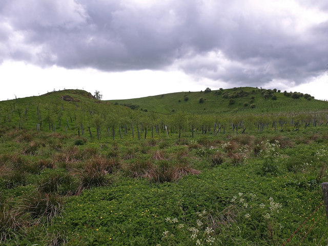
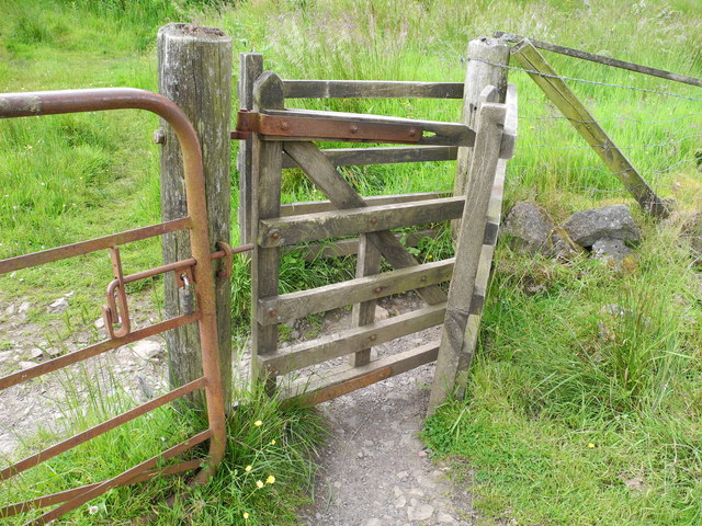
Castle Hill is a popular destination for outdoor enthusiasts and nature lovers. The hill boasts several walking trails that wind their way through a mixture of woodlands, grasslands, and heathlands. These paths offer visitors the opportunity to explore the diverse flora and fauna that call the hill home.
In addition to its natural beauty, Castle Hill is also home to a variety of archaeological sites. The area has seen human occupation dating back thousands of years, and artifacts from the Iron Age and Roman period have been discovered on the hill. These historical remnants add to the fascination and appeal of Castle Hill.
Overall, Castle Hill in Renfrewshire is a captivating landmark that combines natural beauty with a rich history. Its commanding presence, panoramic views, and archaeological significance make it a must-visit destination for both locals and tourists alike.
If you have any feedback on the listing, please let us know in the comments section below.
Castle Hill Images
Images are sourced within 2km of 55.759416/-4.4155217 or Grid Reference NS4854. Thanks to Geograph Open Source API. All images are credited.


Castle Hill is located at Grid Ref: NS4854 (Lat: 55.759416, Lng: -4.4155217)
Unitary Authority: East Renfrewshire
Police Authority: Greater Glasgow
What 3 Words
///slime.cheese.tunnel. Near Neilston, East Renfrewshire
Nearby Locations
Related Wikis

Neilston Pad
Neilston Pad, referred to locally as The Pad, is a distinctive hill in East Renfrewshire, situated a mile (1.5 km) south of the village of Neilston. Its...

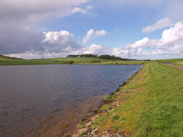
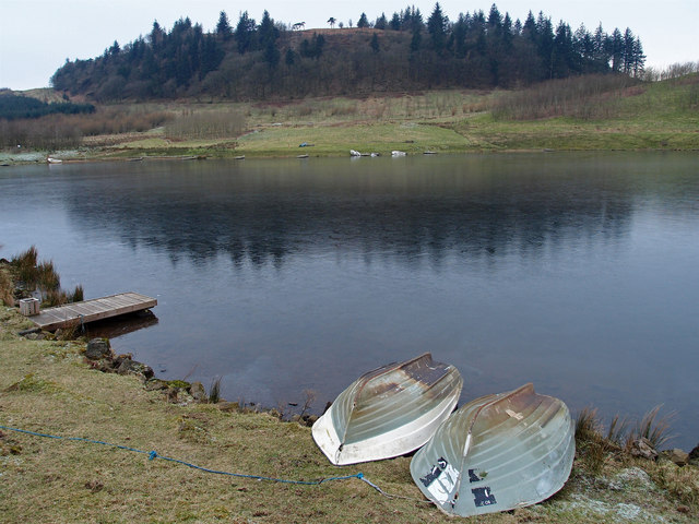
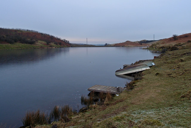
Craighall Reservoir
Craighall Reservoir, known locally as Craighall Dam, is one of a number of small reservoirs, situated around Neilston in East Renfrewshire, Scotland. The...

Neilston F.C.
Neilston Football Club are a Scottish football club based in Neilston, East Renfrewshire who currently play in the West of Scotland League First Division...
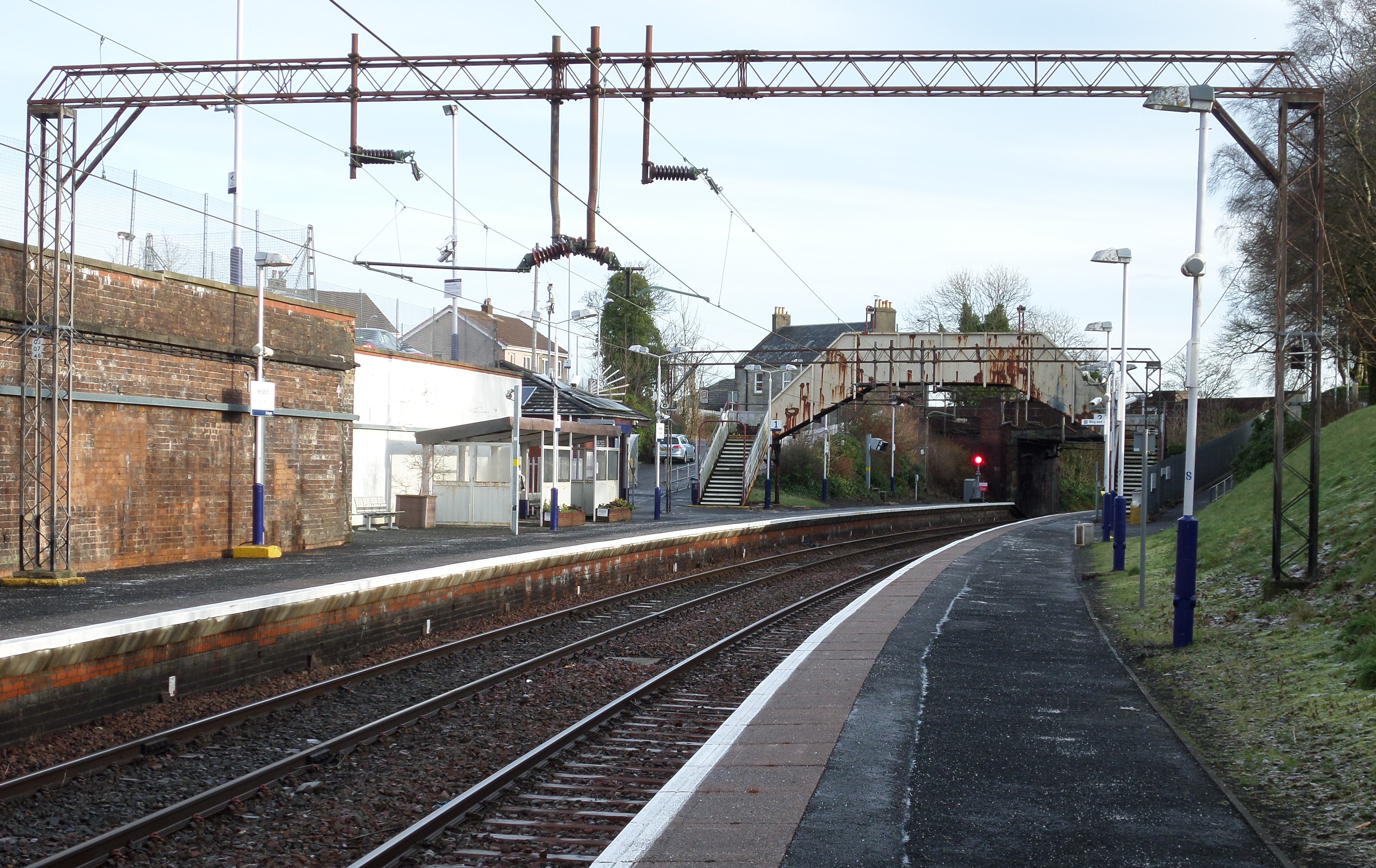
Neilston railway station
Neilston railway station is a railway station in the village of Neilston, East Renfrewshire, Greater Glasgow, Scotland. The station is managed by ScotRail...
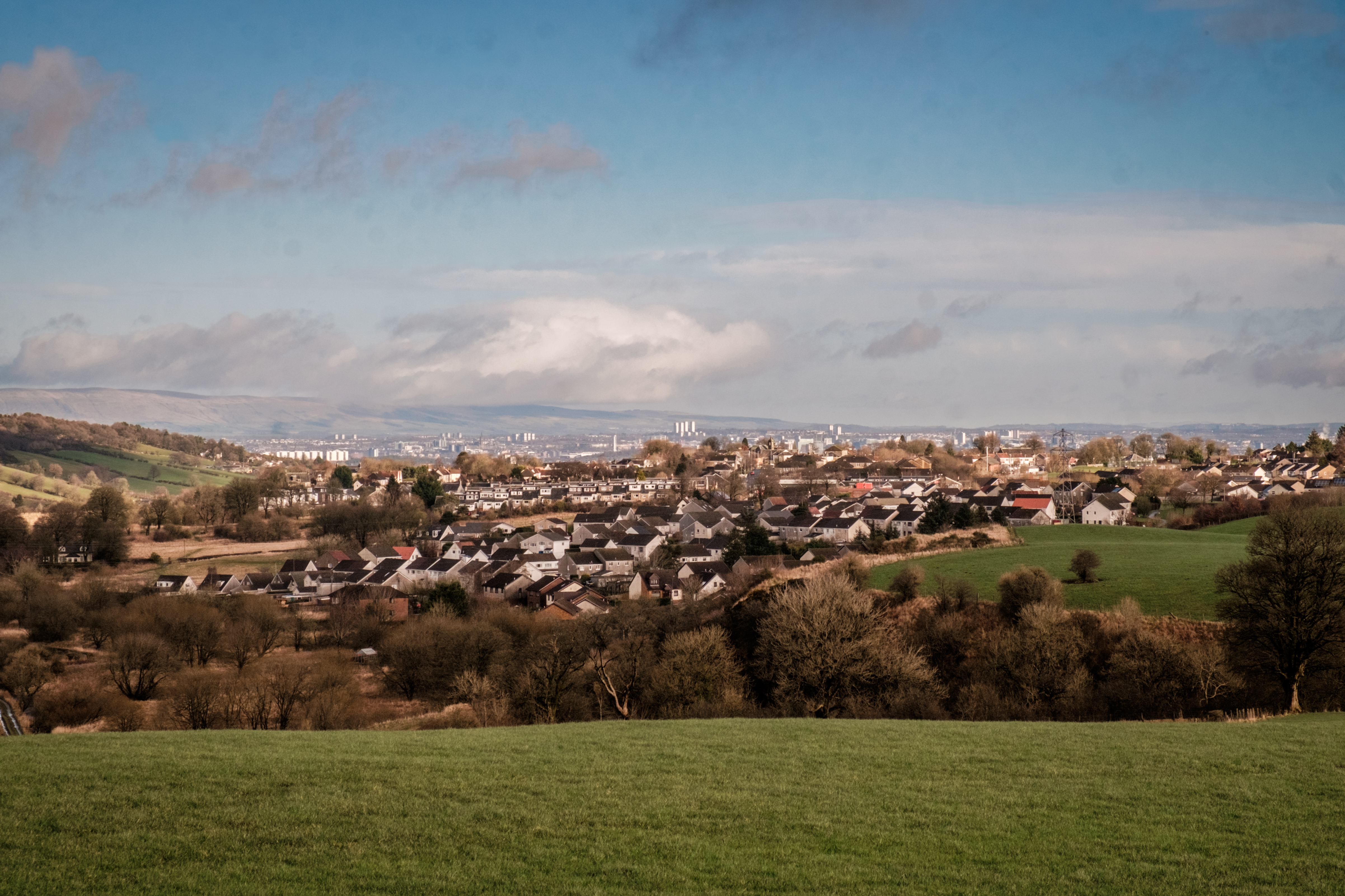
Neilston
Neilston (Scots: Neilstoun, Scottish Gaelic: Baile Nèill, pronounced [paləˈnɛːʎ]) is a village and parish in East Renfrewshire in the west central Lowlands...

Netherton Goods station
Netherton Goods station or Netherton Depot was a railway public freight facility located between Neilston railway station and Patterton railway station...
Johnny Blues Well
The Johnny Blue's Wells (Scots: Johnny Blue Waal) (Barrhead Dialect) is a spring well in the back roads district in East Renfrewshire, Scotland. Standing...
Neilston Low railway station
Neilston Low railway station was a railway station serving the town of Neilston, East Renfrewshire, Scotland. The station was originally part of the Glasgow...
Nearby Amenities
Located within 500m of 55.759416,-4.4155217Have you been to Castle Hill?
Leave your review of Castle Hill below (or comments, questions and feedback).