Cairn Hill
Hill, Mountain in Renfrewshire
Scotland
Cairn Hill

Cairn Hill, located in Renfrewshire, Scotland, is a prominent hill that offers stunning panoramic views of the surrounding area. Standing at an elevation of approximately 426 meters (1,397 feet), it is a popular destination for hikers and nature enthusiasts.
The hill is part of the wider Gleniffer Braes Country Park, a vast green space that spans across 480 acres. Cairn Hill is easily accessible, with designated paths and trails leading to its summit. Its location near the town of Paisley makes it a convenient outdoor escape for locals and visitors alike.
The ascent to the top of Cairn Hill is moderately challenging, with a gradual incline that rewards climbers with breathtaking vistas of the Clyde Valley, the town of Paisley, and the distant peaks of the Scottish Highlands. On clear days, it is even possible to catch a glimpse of the iconic Ben Lomond mountain.
The hill takes its name from the cairn, or stone mound, that crowns its summit. This ancient monument is believed to have been constructed as a burial site or a boundary marker, adding an element of historical significance to the area.
Cairn Hill is a haven for wildlife, with a diverse range of flora and fauna inhabiting its slopes. The hill is home to various species of birds, including buzzards and peregrine falcons, as well as small mammals such as rabbits and foxes.
Overall, Cairn Hill is a must-visit destination for those seeking a peaceful escape amidst Scotland's natural beauty, offering both recreational opportunities and a glimpse into the region's rich history.
If you have any feedback on the listing, please let us know in the comments section below.
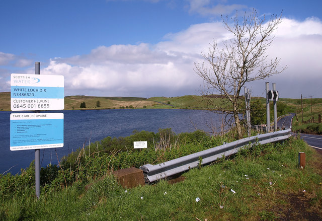
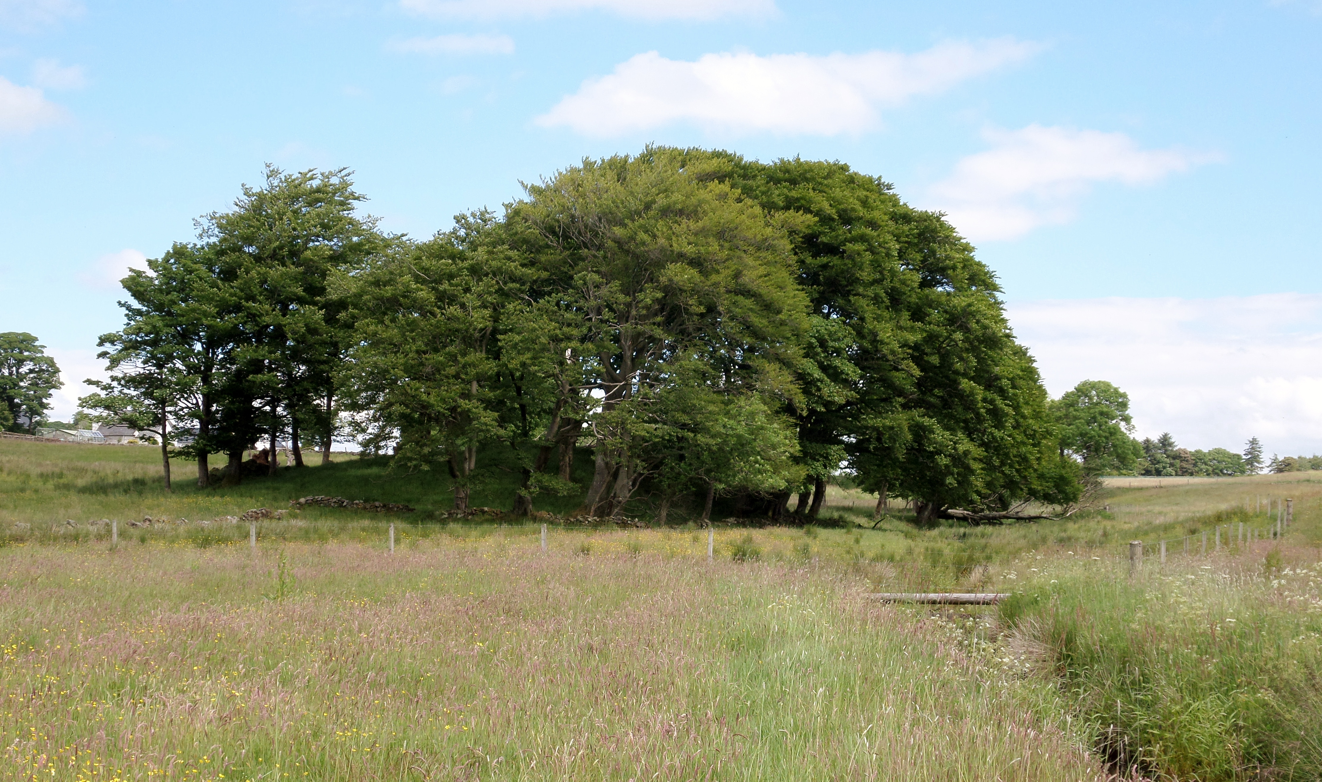
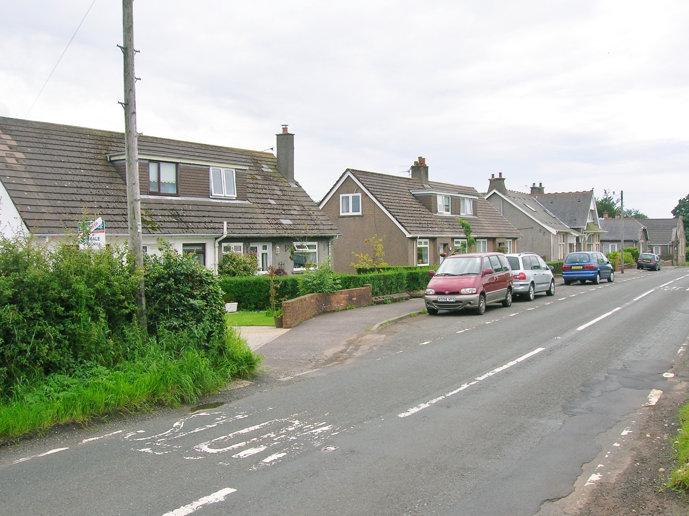
Cairn Hill Images
Images are sourced within 2km of 55.728977/-4.4139912 or Grid Reference NS4851. Thanks to Geograph Open Source API. All images are credited.


Cairn Hill is located at Grid Ref: NS4851 (Lat: 55.728977, Lng: -4.4139912)
Unitary Authority: East Renfrewshire
Police Authority: Greater Glasgow
What 3 Words
///bloom.accusing.chat. Near Neilston, East Renfrewshire
Nearby Locations
Related Wikis
Lands of Blacklaw
The Lands of Blacklaw formed a small property of five merks worth, in the Lordship of Stewarton at the eastern extremity of Strathannick, between the hamlet...

Neilston Pad
Neilston Pad, referred to locally as The Pad, is a distinctive hill in East Renfrewshire, situated a mile (1.5 km) south of the village of Neilston. Its...

Craighall Reservoir
Craighall Reservoir, known locally as Craighall Dam, is one of a number of small reservoirs, situated around Neilston in East Renfrewshire, Scotland. The...
Kingsford, East Ayrshire
Kingsford is a hamlet or clachan in Strathannick, East Ayrshire, parish of Stewarton, Scotland. The habitation is situated on the B769, two miles north...
Nearby Amenities
Located within 500m of 55.728977,-4.4139912Have you been to Cairn Hill?
Leave your review of Cairn Hill below (or comments, questions and feedback).