Green Hill
Hill, Mountain in Stirlingshire
Scotland
Green Hill

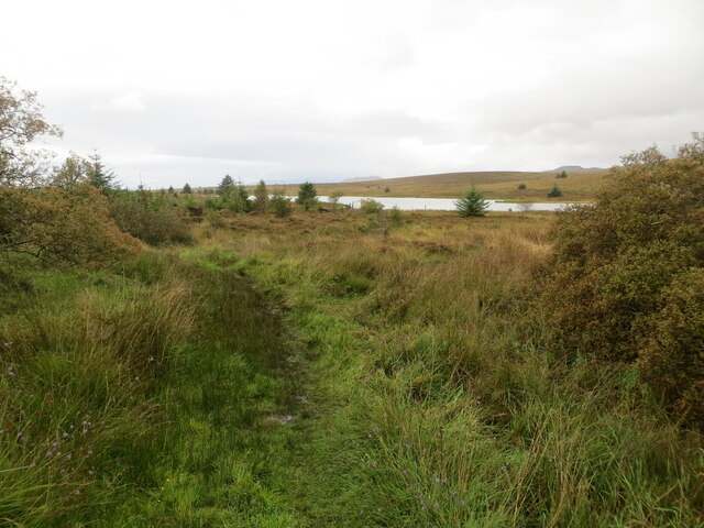
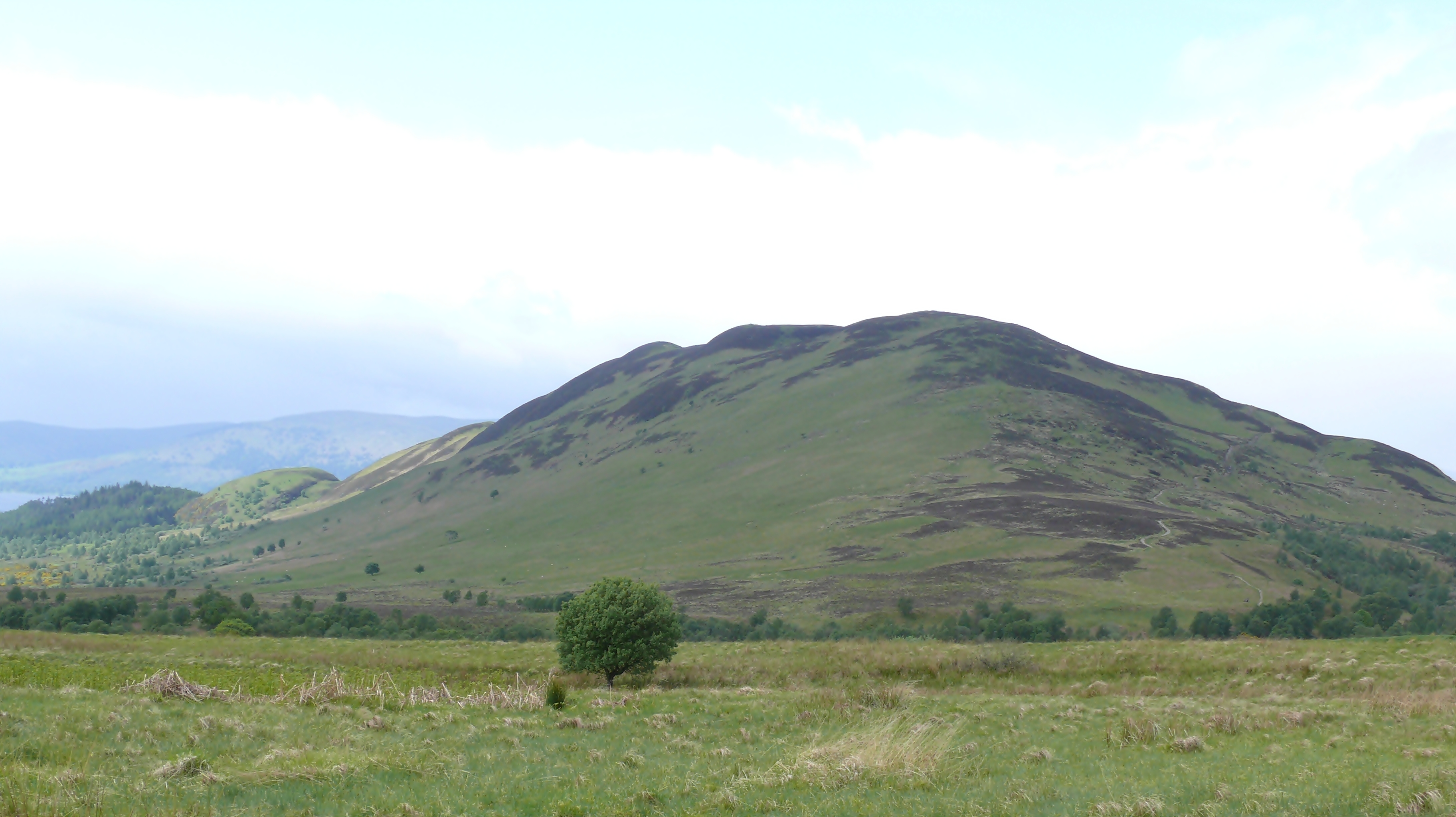
Green Hill is a prominent hill located in the county of Stirlingshire, Scotland. Situated near the village of Killearn, it is part of the Campsie Fells range, known for its picturesque landscapes and abundant natural beauty. Standing at an elevation of 257 meters (843 feet), Green Hill offers stunning panoramic views of the surrounding countryside.
The hill is easily accessible, with several well-marked trails leading to its summit. Hikers and nature enthusiasts are drawn to Green Hill for its peaceful atmosphere and the opportunity to observe diverse flora and fauna. The hill is covered in lush greenery, particularly during the summer months when vibrant wildflowers dot the landscape.
The ascent to the top of Green Hill is relatively gentle, making it suitable for individuals of all fitness levels. Once at the summit, visitors can enjoy breathtaking vistas of the nearby Loch Lomond and Trossachs National Park, as well as the Campsie Fells range itself.
Green Hill also holds historical significance, with remnants of ancient settlements and stone circles scattered across its slopes. These archaeological sites offer a glimpse into the area's rich past, adding an extra layer of intrigue for those exploring the hill.
Overall, Green Hill in Stirlingshire is a captivating destination for nature lovers and history enthusiasts alike. Its accessible trails, stunning views, and historical significance make it an ideal location for a day of outdoor exploration and appreciation of Scotland's natural beauty.
If you have any feedback on the listing, please let us know in the comments section below.
Green Hill Images
Images are sourced within 2km of 56.10452/-4.4410426 or Grid Reference NS4892. Thanks to Geograph Open Source API. All images are credited.


Green Hill is located at Grid Ref: NS4892 (Lat: 56.10452, Lng: -4.4410426)
Unitary Authority: Stirling
Police Authority: Forth Valley
What 3 Words
///spiking.camper.manicured. Near Balfron, Stirling
Nearby Locations
Related Wikis

Buchanan Smithy
Buchanan Smithy is a hamlet in Buchanan in the far west of Stirling, Scotland. The current settlement was mostly purpose-built in the 18th century for...

Dalmary
Dalmary is a small hamlet in Stirling, Scotland, situated in the civil parish of Drymen. Unlike other settlements in the Drymen civil parish, Dalmary has...

Drymen
Drymen (; from Scottish Gaelic: Druiminn [ˈt̪ɾɯmɪɲ]) is a village in the Stirling district of central Scotland. Once a popular stopping place for cattle...

Milton of Buchanan
Milton of Buchanan is a small village in Stirling, Scotland, within the parish of Buchanan. Historically, the village was in the Registration County of...

Buchanan Castle
Buchanan Castle is a ruined castle in Stirlingshire, Scotland, located 1 mile (1.6 km) west of the village of Drymen. The house was commissioned by The...

Buchanan Auld House
Buchanan Auld House (or Buchanan Old House) is a ruined house in Stirlingshire, Scotland, located 1.5 miles (2.4 km) west of the village of Drymen. Historic...
Conic Hill
Conic Hill (from Gaelic "còinneach" meaning moss) is a prominent hill in Stirling, Scotland. == Location and description == It is on the east bank of Loch...

Balfron railway station
Balfron railway station was a railway station that served the village of Balfron in Scotland. The station was served by trains on the Strathendrick and...
Have you been to Green Hill?
Leave your review of Green Hill below (or comments, questions and feedback).