Blairs Hill

Hill, Mountain in Kirkcudbrightshire

Scotland

Blairs Hill

Pumpkins for sale at Strathmaddie Strathmaddie has pumpkins for sale 'for Halloween carving'. The minor road passing by must see little traffic whether motorised or pedestrian, so sales cannot be high.
Pumpkins for sale at Strathmaddie Credit: Trevor Littlewood

Blairs Hill is a prominent hill located in Kirkcudbrightshire, Scotland. Standing at an elevation of 310 meters (1,017 feet), it offers spectacular views of the surrounding countryside and coastline. The hill is a popular destination for hikers and outdoor enthusiasts, with several walking trails leading to the summit.

Blairs Hill is known for its diverse flora and fauna, with a variety of plant species and wildlife inhabiting the area. The hill is covered in lush greenery, including heather, grasses, and wildflowers, making it a picturesque spot for nature lovers.

The summit of Blairs Hill provides panoramic views of the rolling hills and valleys of Kirkcudbrightshire, as well as the nearby Solway Firth and Irish Sea. On a clear day, visitors can see as far as the Isle of Man and the Lake District in England.

Overall, Blairs Hill is a tranquil and scenic location, perfect for those looking to escape the hustle and bustle of everyday life and immerse themselves in the natural beauty of the Scottish countryside.

If you have any feedback on the listing, please let us know in the comments section below.

Blairs Hill Images

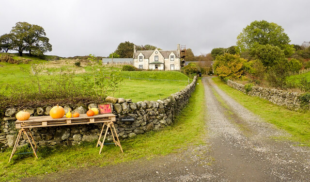
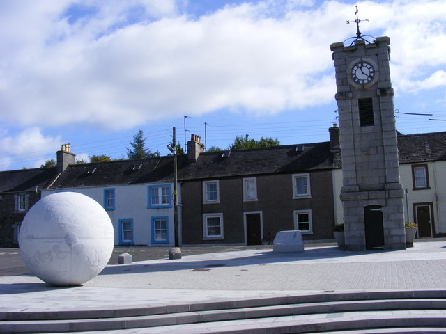
Images are sourced within 2km of 54.931943/-4.3806666 or Grid Reference NX4762. Thanks to Geograph Open Source API. All images are credited.

Pumpkins for sale at Strathmaddie Strathmaddie has pumpkins for sale 'for Halloween carving'. The minor road passing by must see little traffic whether motorised or pedestrian, so sales cannot be high.
Pumpkins for sale at Strathmaddie
Strathmaddie has pumpkins for sale 'for Halloween carving'. The minor road passing by must see little traffic whether motorised or pedestrian, so sales cannot be high.
Road heading south on the Cairnsmore estate The estate road heading towards Crow Wood.
Road heading south on the Cairnsmore estate
The estate road heading towards Crow Wood.
Spur between two streams The left side valley, fully in view, is that of the Graddoch Burn. The Torr Burn passes in the foreground to make its confluence with the other.
The hill is known as Knee of Cairnsmore.
Spur between two streams
The left side valley, fully in view, is that of the Graddoch Burn. The Torr Burn passes in the foreground to make its confluence with the other. The hill is known as Knee of Cairnsmore.
Cycle path, Spittal An all too short section on the Port Road.
Cycle path, Spittal
An all too short section on the Port Road.
Silage bales, Cuil
Silage bales, Cuil
A75, Muirfad
A75, Muirfad
Between road and river, Muirfad
Viaduct - remains of the "Port Line" Not much left of the viaduct near Muirfad, which once carried trains on the Dumfries - Stranraer line
Viaduct - remains of the "Port Line"
Not much left of the viaduct near Muirfad, which once carried trains on the Dumfries - Stranraer line
Remains of Viaduct Near Muirfad Arches are now boxed in.
Remains of Viaduct Near Muirfad
Arches are now boxed in.
Cycleway Through Cuil Wood The cycle way uses a disused railway line.
Cycleway Through Cuil Wood
The cycle way uses a disused railway line.
Field Near Muirfad
Field Near Muirfad
Milepost on National Cycle Route 7
National Cycle Route 7 Near Blairs
Tree Near Blairs Viewed from National Cycle Route 7
Tree Near Blairs
Viewed from National Cycle Route 7
Cycleway at Spittal National Cycle Network Route 7 at Spittal
Cycleway at Spittal
National Cycle Network Route 7 at Spittal
Palnure Burn Near Muirfad
Farm Track on Cairnsmore Estate
Cairnsmore Stables
Cairnsmore Stables
Show me another place!

Blairs Hill is located at Grid Ref: NX4762 (Lat: 54.931943, Lng: -4.3806666)

Unitary Authority: Dumfries and Galloway

Police Authority: Dumfries and Galloway

What 3 Words

///starts.priced.dividers. Near Newton Stewart, Dumfries & Galloway

Nearby Locations

Blairs Hill

Related Wikis

Palnure

Palnure (Scottish Gaelic: Poll an Iùbhair) is a small village in the historical county of Kirkcudbrightshire in Dumfries and Galloway, Scotland, on the...

Creetown railway station

Creetown railway station served the town of Creetown, Dumfries and Galloway, Scotland from 1861 to 1965 on the Portpatrick and Wigtownshire Joint Railway...

Palnure railway station

Palnure railway station (NX450634) was a railway station on the Portpatrick and Wigtownshire Joint Railway close to Newton Stewart and the junction for...

Creetown

Creetown (/ˈkri:tən/, sometimes /'kri:taʊn/) is a small seaside town in the Stewartry of Kirkcudbright, in Galloway in the Dumfries and Galloway council...

Nearby Amenities

Located within 500m of 54.931943,-4.3806666
Blairs Hill
Natural: peak
Source: OS7
Lat/Long: 54.9336617/-4.3741554
The data included in this document is from www.openstreetmap.org. The data is made available under ODbL.

Have you been to Blairs Hill?

Leave your review of Blairs Hill below (or comments, questions and feedback).