Bad Dearg

Hill, Mountain in Perthshire

Scotland

Bad Dearg

Eilean Gorm island bothy, Loch Ard, The Trossachs A bothy upon a lake island- visits and stays are allowed.
Eilean Gorm island bothy, Loch Ard, The Trossachs Credit: Kim McGillivray

Bad Dearg is a prominent hill located in the picturesque region of Perthshire, Scotland. Standing at an elevation of 775 meters (2,543 feet), it offers stunning panoramic views of the surrounding landscape and is a popular destination for outdoor enthusiasts and hikers.

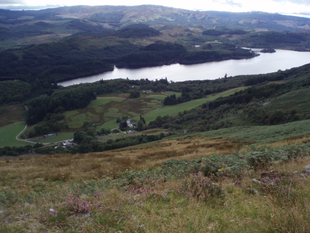
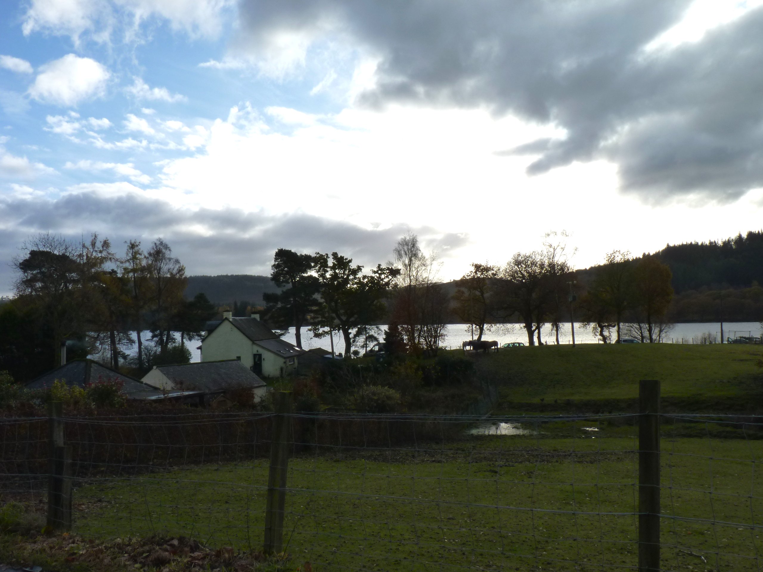
Situated within the Loch Rannoch and Glen Lyon National Scenic Area, Bad Dearg is part of a range of hills known as the Ben Lawers group. It lies to the northeast of Loch Rannoch, near the village of Kinloch Rannoch. The hill is easily accessible from various starting points, with well-defined paths leading to its summit.

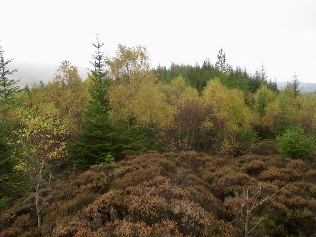
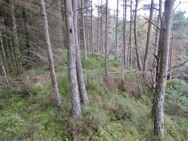
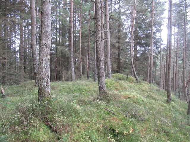
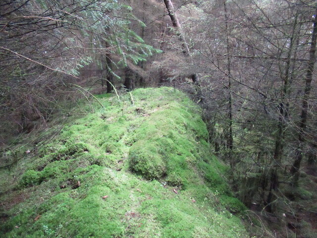
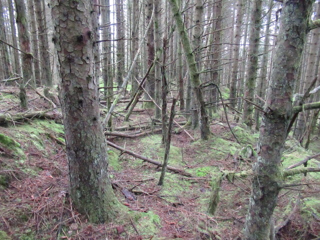
The ascent to the top of Bad Dearg offers a challenging but rewarding hike. The path winds through heather-clad slopes, rocky outcrops, and steep inclines, providing a diverse and exhilarating experience for climbers. As hikers make their way up, they are often greeted by an array of wildlife, including red deer, mountain hares, and a variety of bird species.

Reaching the summit of Bad Dearg rewards visitors with breathtaking views of Loch Rannoch, the surrounding mountains, and the vast expanse of the Scottish Highlands. On clear days, it is even possible to catch a glimpse of the iconic Ben Nevis, the highest peak in the British Isles.

Overall, Bad Dearg is an outstanding natural feature in Perthshire, offering a challenging adventure and an opportunity to immerse oneself in Scotland's stunning landscapes and rich biodiversity.

If you have any feedback on the listing, please let us know in the comments section below.
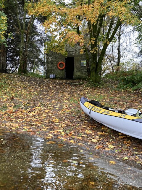
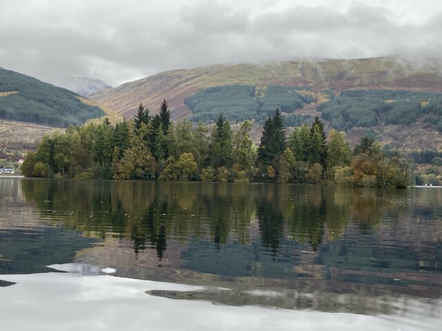
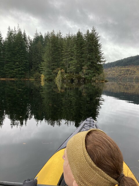
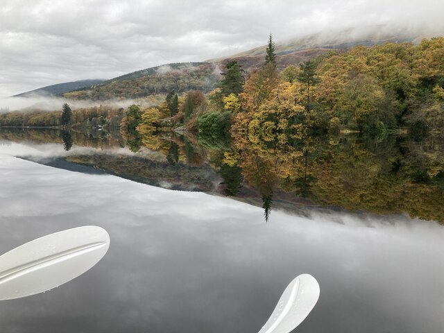
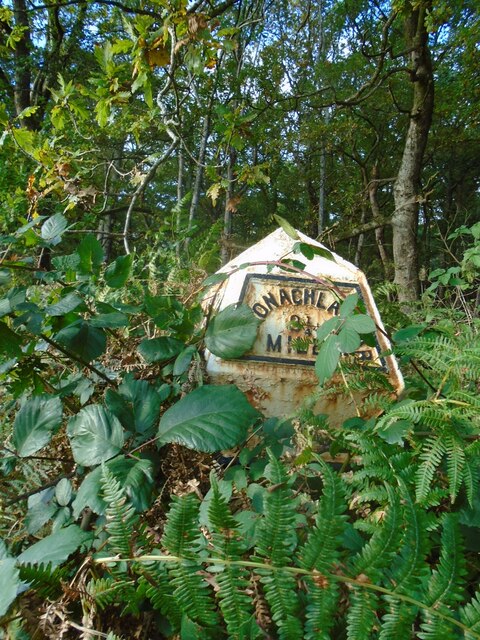
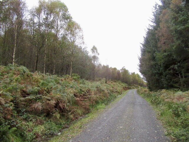
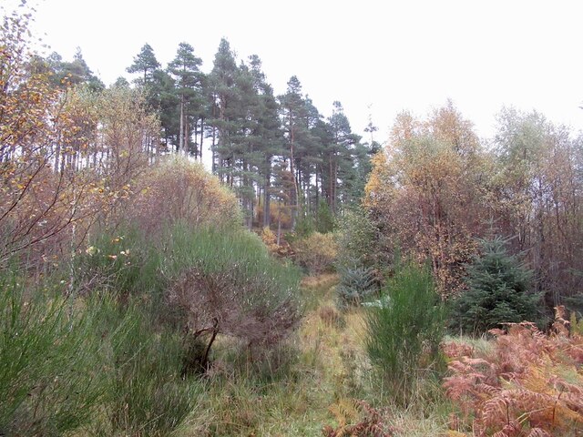
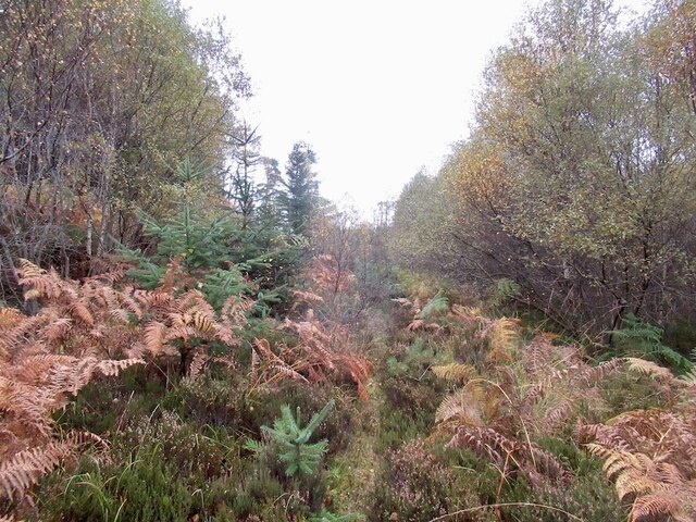
Bad Dearg Images

Images are sourced within 2km of 56.173636/-4.4600098 or Grid Reference NN4700. Thanks to Geograph Open Source API. All images are credited.

Eilean Gorm island bothy, Loch Ard, The Trossachs A bothy upon a lake island- visits and stays are allowed.
Eilean Gorm island bothy, Loch Ard, The Trossachs
A bothy upon a lake island- visits and stays are allowed.
Eilean Gorm, Loch Ard, The Trossachs Looking north north east, from a kayak, at the lake island of Eilean Gorm.
Eilean Gorm, Loch Ard, The Trossachs
Looking north north east, from a kayak, at the lake island of Eilean Gorm.
Loch Ard Forest, The Trossachs The extensive forest that extends from the southern shore of Loch Ard. On the right is a narrow passage into an inlet bay of the loch.
Loch Ard Forest, The Trossachs
The extensive forest that extends from the southern shore of Loch Ard. On the right is a narrow passage into an inlet bay of the loch.
Woodlands on north shore of Loch Ard, The Trossachs Autumnal woodland colours on a flat-calm day.
Woodlands on north shore of Loch Ard, The Trossachs
Autumnal woodland colours on a flat-calm day.
Old milepost Another neglected milepost on the B829 from Aberfoyle in the woods at Laraich.   In 2009 it was well painted although not set to its full height.  It is an original casting made at the Grangemouth Ironworks.
Old milepost
Another neglected milepost on the B829 from Aberfoyle in the woods at Laraich. In 2009 it was well painted although not set to its full height. It is an original casting made at the Grangemouth Ironworks.
Old milepost This original Grangemouth Ironworks milepost is 3 miles from Aberfoyle on the north side of the road, B829, bordering Loch Ard.   In autumn 2021 it is almost hidden in the brambles and bracken.
Old milepost
This original Grangemouth Ironworks milepost is 3 miles from Aberfoyle on the north side of the road, B829, bordering Loch Ard. In autumn 2021 it is almost hidden in the brambles and bracken.
Logging road, Loch Ard Forest High on Uamh Mhòr one of the many rocky ridges under the trees.
Logging road, Loch Ard Forest
High on Uamh Mhòr one of the many rocky ridges under the trees.
Old extraction track, Uamh Mhòr A now overgrown and rotting track made up of small logs. It would have been used for timber extraction. As the slope overlooks Loch Ard, it was not clear felled for scenery preservation reasons and there are now some large trees growing here, trees which would not have survived were this deeper in the forest.
Old extraction track, Uamh Mhòr
A now overgrown and rotting track made up of small logs. It would have been used for timber extraction. As the slope overlooks Loch Ard, it was not clear felled for scenery preservation reasons and there are now some large trees growing here, trees which would not have survived were this deeper in the forest.
Summit, Uamh Mhòr A small clearing on a steep sided ridge.
Summit, Uamh Mhòr
A small clearing on a steep sided ridge.
Statute Labour Road Loch Ard Forest.  It appears that the code letters at junctions has been abandoned, this was a useful tool for navigating the track network, but there are signposts. The white posts with what appears to be a sign forbidding Norway, are marking an electricity cable. The sign is no digging.
Statute Labour Road
Loch Ard Forest. It appears that the code letters at junctions has been abandoned, this was a useful tool for navigating the track network, but there are signposts. The white posts with what appears to be a sign forbidding Norway, are marking an electricity cable. The sign is no digging.
Statute Labour Road Passing the horribly inaccessible Bad Dearg (left). Lovely birch wood though.
Statute Labour Road
Passing the horribly inaccessible Bad Dearg (left). Lovely birch wood though.
Loch Ard Forest A hillside where the conifer plantation was felled and not replanted leading to colonisation by birch.
Loch Ard Forest
A hillside where the conifer plantation was felled and not replanted leading to colonisation by birch.
Overgrown road, Loch Ard Forest
Summit ridge, Bad Dearg Purgatorial going in deep heather growing over the rotting remains of the conifers that once stood here. I have been here before, orienteering in 1980. That was brutal too.
Summit ridge, Bad Dearg
Purgatorial going in deep heather growing over the rotting remains of the conifers that once stood here. I have been here before, orienteering in 1980. That was brutal too.
Scots pines, Innis Ard
Eastern summit, Innis Ard
Summit, Innis Ard Moss covered rock in dense spruce wood.
Summit, Innis Ard
Moss covered rock in dense spruce wood.
Conifer plantation, Innis Ard
Show me another place!

Bad Dearg is located at Grid Ref: NN4700 (Lat: 56.173636, Lng: -4.4600098)

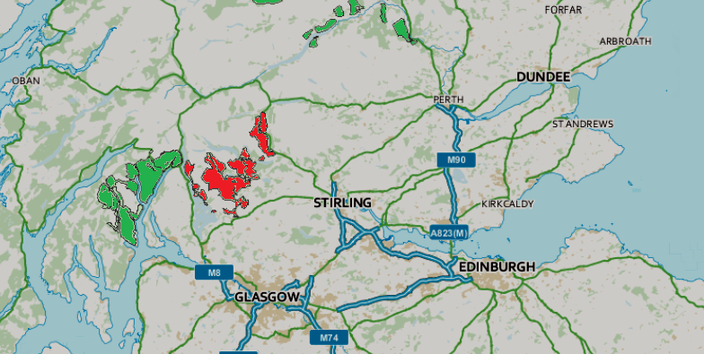
Unitary Authority: Stirling

Police Authority: Forth Valley

What 3 Words

///campus.paler.twig. Near Balfron, Stirling

Nearby Locations

Bad Dearg

Related Wikis

Queen Elizabeth Forest Park

Queen Elizabeth Forest Park is a 19,665-hectare (48,590-acre) forest park in the Scottish Highlands which extends from the eastern shores of Loch Lomond...

Loch Ard

Loch Ard (Scottish Gaelic: Loch na h-Àirde) is a loch, located in Loch Lomond and the Trossachs National Park, Stirling council area, Scotland. == Overview... ==

Kinlochard

Kinlochard is a village in Stirling, Scotland. It lies to the western end of Loch Ard. Children in Kinlochard attend Aberfoyle Primary School and eventually...

Beinn an Fhogharaidh

Beinn an Fhogharaidh is a mountain ridge, 616 metres (2,021 ft) high, in the southern Scottish Highlands near the village of Aberfoyle in Stirling council...

Duchray Water

Duchray Water, also called Dachray Water, is a 14-mile-long (23 km) headstream of the River Forth in the Trossachs region of Scotland. == Location == Duchray...

Milton, Stirling

Milton is a hamlet in Stirling, Scotland near Aberfoyle situated above the River Forth. In 1961 it had a population of 98. Most pupils attend Aberfoyle...

Craigmore (hill)

Craigmore is a prominent hill, 387 metres high, above the village of Aberfoyle in the council area of Stirling in Scotland. == Geography == The summit...

Aberfoyle, Stirling

Aberfoyle (Scottish Gaelic: Obar Phuill) is a village in the historic county and registration county of Perthshire and the council area of Stirling, Scotland...

Nearby Amenities

Located within 500m of 56.173636,-4.4600098
Bad Dearg
Munro: no
Natural: peak
Lat/Long: 56.1731618/-4.4602331
The data included in this document is from www.openstreetmap.org. The data is made available under ODbL.

Have you been to Bad Dearg?

Leave your review of Bad Dearg below (or comments, questions and feedback).