Black Laggan Ward
Hill, Mountain in Kirkcudbrightshire
Scotland
Black Laggan Ward

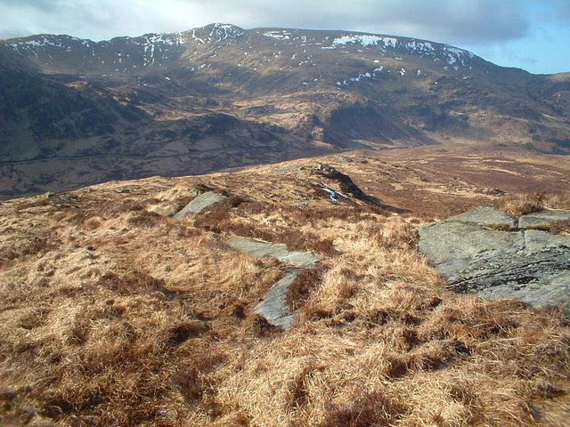
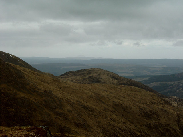
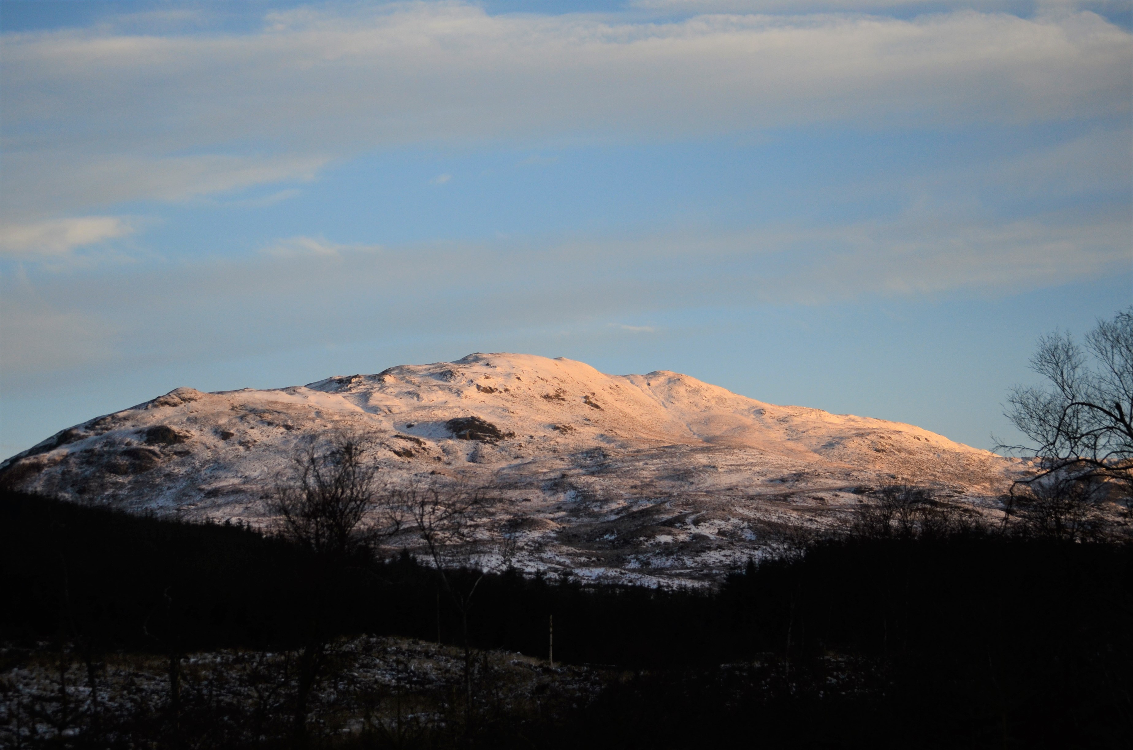
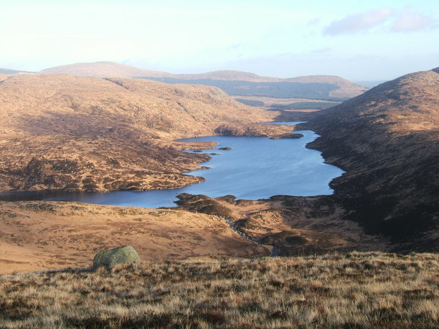
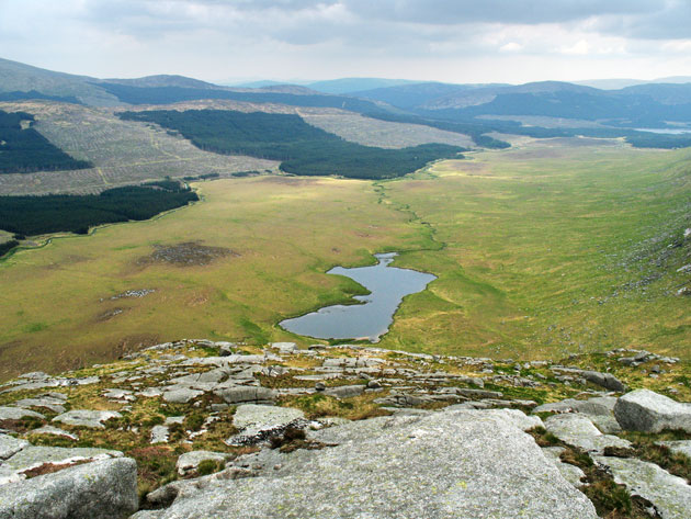
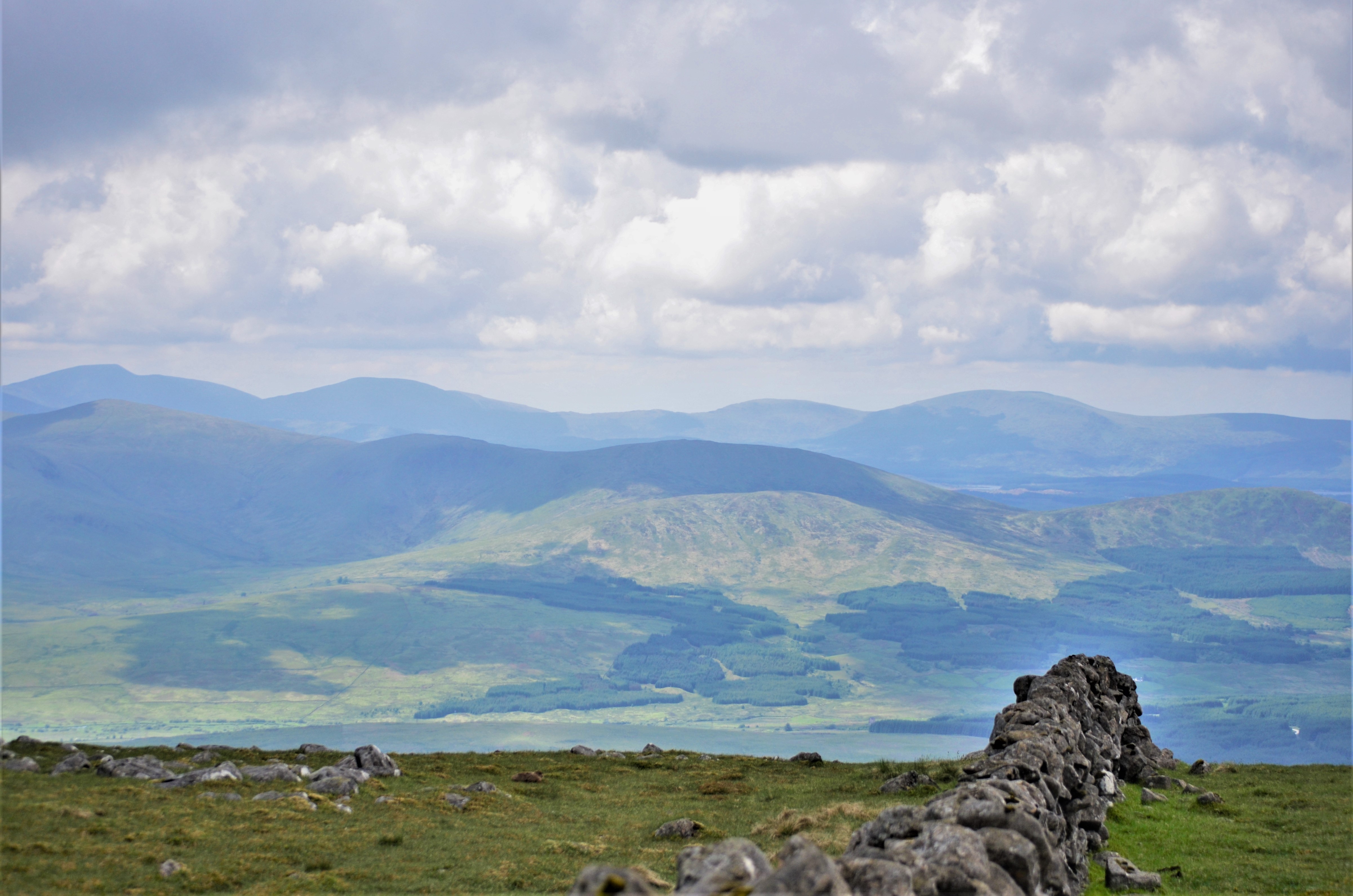
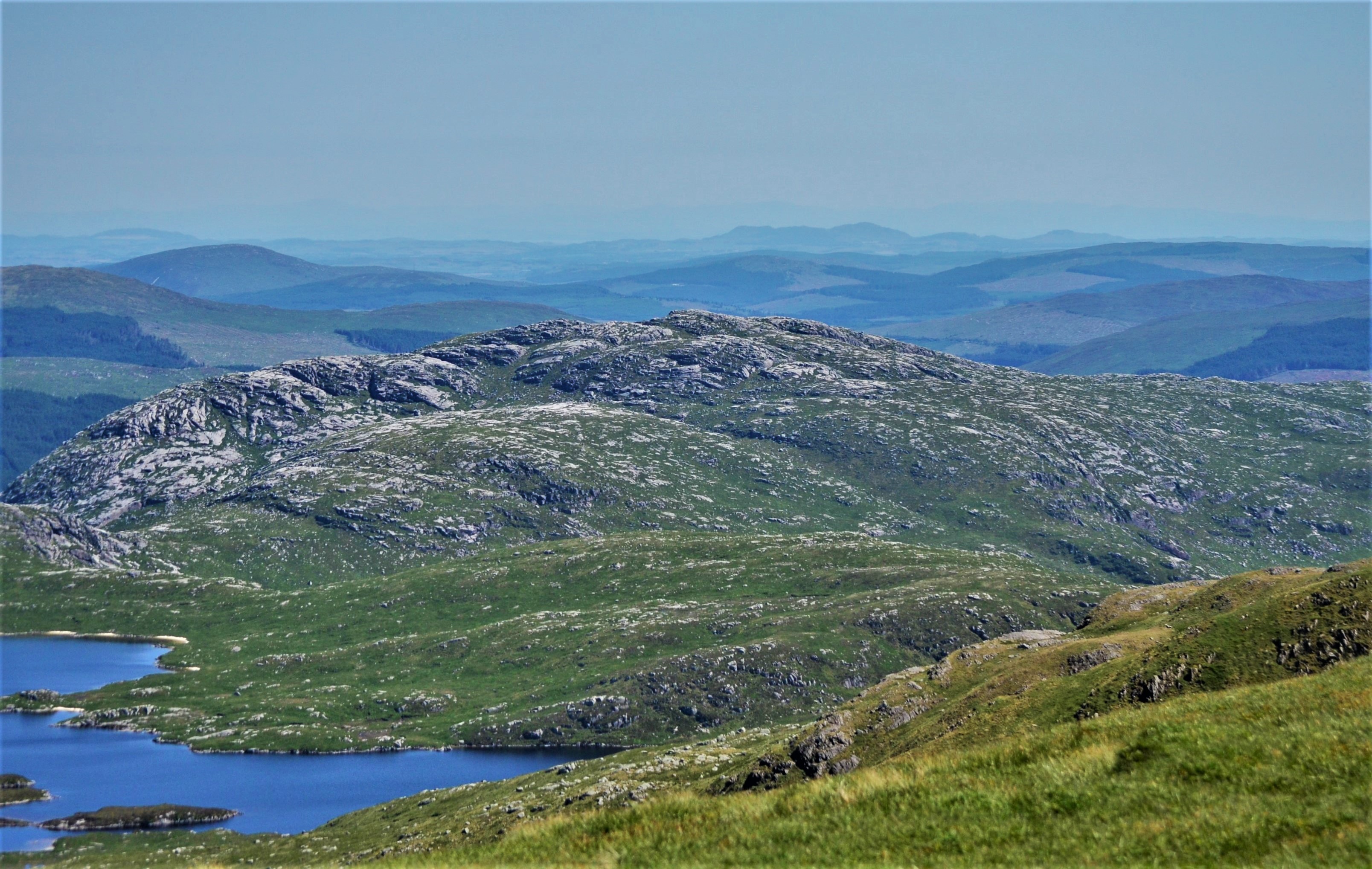
Black Laggan Ward is a prominent hill located in the region of Kirkcudbrightshire, in the southern part of Scotland. It is situated near the village of Dalry, approximately 6 miles northeast of Castle Douglas. The hill forms part of the Galloway Hills, which are known for their rugged beauty and stunning landscapes.
Rising to an elevation of about 570 meters (1,870 feet), Black Laggan Ward offers breathtaking panoramic views of the surrounding countryside. Its distinctive shape and dark heather-covered slopes make it a notable landmark in the area. The hill is primarily made up of granite, which gives it its characteristic dark appearance.
The terrain of Black Laggan Ward is diverse and challenging, making it a popular destination for outdoor enthusiasts and hillwalkers. The hill features steep slopes, rocky outcrops, and a network of footpaths that allow visitors to explore its rugged beauty. The ascent to the summit can be demanding, but the rewarding views make it well worth the effort.
Wildlife is abundant in the area surrounding Black Laggan Ward. Visitors may have the opportunity to spot various bird species, including golden eagles and peregrine falcons, as well as red deer and other mammals that inhabit the hillsides.
Overall, Black Laggan Ward is a captivating hill in Kirkcudbrightshire, offering a challenging yet rewarding outdoor experience for those who venture to its summit.
If you have any feedback on the listing, please let us know in the comments section below.
Black Laggan Ward Images
Images are sourced within 2km of 55.074675/-4.3936042 or Grid Reference NX4778. Thanks to Geograph Open Source API. All images are credited.


Black Laggan Ward is located at Grid Ref: NX4778 (Lat: 55.074675, Lng: -4.3936042)
Unitary Authority: Dumfries and Galloway
Police Authority: Dumfries and Galloway
What 3 Words
///cunning.arranges.torso. Near Newton Stewart, Dumfries & Galloway
Nearby Locations
Related Wikis
Millfore
Millfore is a hill in the Minnigaff Hills, a sub-range of the Galloway Hills range, part of the Southern Uplands of Scotland. It lies northeast of Newton...

Round Loch of Glenhead
The Round Loch of Glenhead is a small upland single basin loch in Dumfries and Galloway. It is situated within Galloway Forest Park to the west of the...

Lamachan Hill
Lamachan Hill is a hill in the Minnigaff Hills, a sub-range of the Galloway Hills range, part of the Southern Uplands of Scotland. It is the highest hill...
Loch Valley
Loch Valley is a loch in Galloway Forest Park to the east of Buchan Hill, north of the Rig of the Jarkness and southwest of Craignaw. It drains via Gairland...
Silver Flowe
Silver Flowe is an area of patterned blanket mire in the Galloway Hills, in Dumfries and Galloway, Scotland. Located around 16 km north northeast of Newton...
Galloway Hills
The Galloway Hills are part of the Southern Uplands of Scotland, and form the northern boundary of western Galloway. They lie within the bounds of the...

Dungeon Hill (hill)
Dungeon Hill is a hill in the Dungeon Hills, a sub-range of the Galloway Hills range, part of the Southern Uplands of Scotland. Although it is the lowest...
Craignaw
Craignaw is a hill in the Dungeon Hills, a sub-range of the Galloway Hills range, part of the Southern Uplands of Scotland. Unlike many hills in the Southern...
Have you been to Black Laggan Ward?
Leave your review of Black Laggan Ward below (or comments, questions and feedback).