Beinn Bhreac
Hill, Mountain in Perthshire
Scotland
Beinn Bhreac

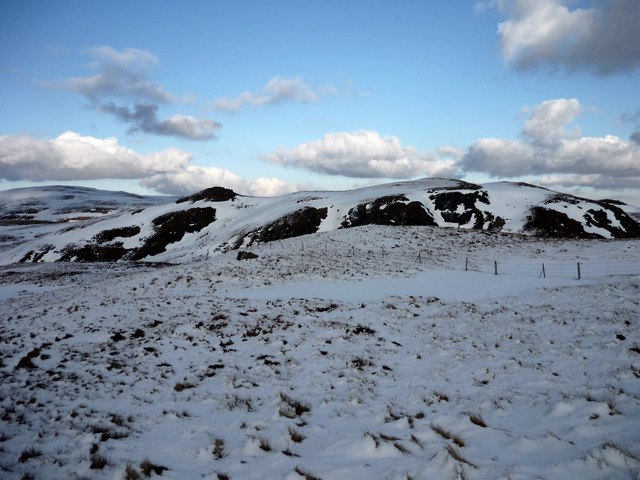
Beinn Bhreac is a prominent hill located in the southern part of Perthshire, Scotland. With an elevation of 931 meters (3,054 feet), it falls under the category of a Corbett, which refers to a Scottish mountain with a height between 2,500 and 3,000 feet. The hill is situated within the Grampian Mountains, northwest of the town of Dunkeld.
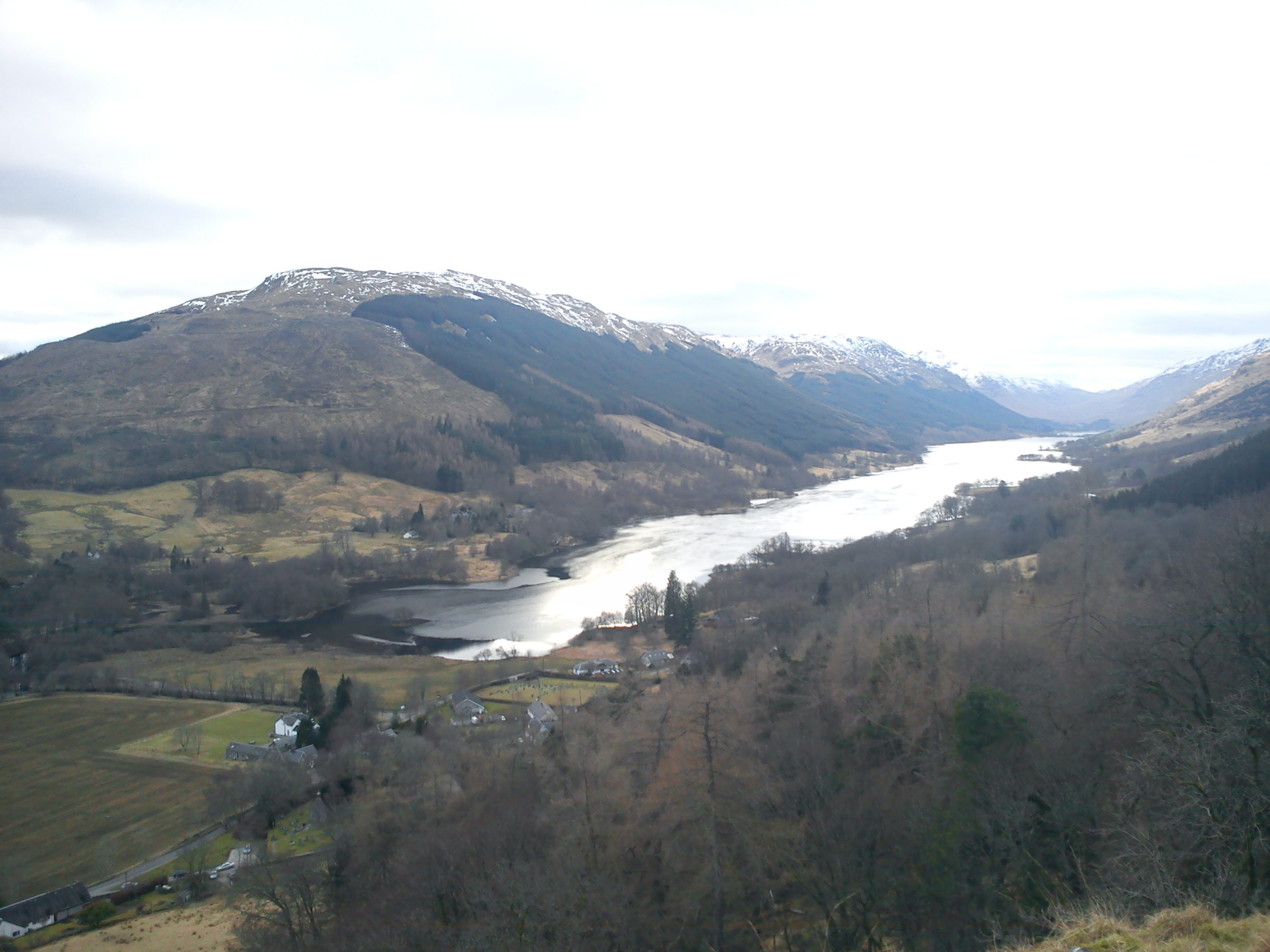
Beinn Bhreac is known for its stunning natural beauty and panoramic views. It offers a relatively straightforward ascent, making it a popular destination for hikers and outdoor enthusiasts. The hill is accessible via various routes, with the most common starting point being the parking area near Loch Moraig.
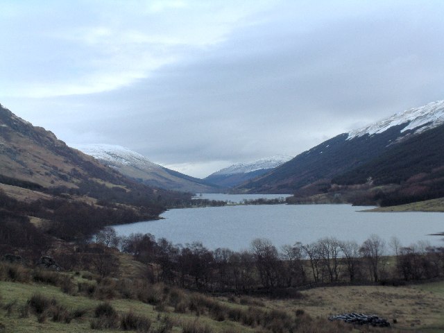
The terrain of Beinn Bhreac is characterized by grassy slopes, heather-covered moorland, and rocky outcrops. As climbers ascend, they will encounter a mixture of gentle gradients and steeper sections, providing a moderate level of challenge. The summit offers breathtaking vistas, allowing visitors to admire the surrounding landscape, including nearby hills such as Beinn a'Ghlo and Schiehallion.
Wildlife is abundant in the area, with frequent sightings of red deer, mountain hares, and various bird species. The hill is also home to a diverse range of flora and fauna, with beautiful wildflowers and mosses decorating the landscape.
Overall, Beinn Bhreac is a picturesque hill in Perthshire that attracts outdoor enthusiasts seeking a rewarding hike with mesmerizing views. Its accessibility, diverse terrain, and natural beauty make it a must-visit destination for those exploring the Scottish countryside.
If you have any feedback on the listing, please let us know in the comments section below.
Beinn Bhreac Images
Images are sourced within 2km of 56.29478/-4.4693913 or Grid Reference NN4714. Thanks to Geograph Open Source API. All images are credited.


Beinn Bhreac is located at Grid Ref: NN4714 (Lat: 56.29478, Lng: -4.4693913)
Unitary Authority: Stirling
Police Authority: Forth Valley
What 3 Words
///occupations.validated.nitrate. Near Callander, Stirling
Nearby Locations
Related Wikis

Glen Finglas Estate
The Glen Finglas Estate is a property in Glen Finglas in the Trossachs, Scotland managed by The Woodland Trust. The estate extends for over 10,000 acres...
Loch Doine
Loch Doine is a small freshwater loch that lies to the west of Balquhidder in the Trossachs and Teith ward within Stirling council area of Scotland. It...

Loch Katrine
Loch Katrine (; Scottish Gaelic: Loch Ceiteirein [l̪ˠɔx ˈkʲʰeʰtʲɪɾʲɛɲ] or Loch Ceathairne) is a freshwater loch in the Trossachs area of the Scottish Highlands...

Dalrigh
Dalrigh is a hamlet in Scotland near Tyndrum. The name means "The King's Field" in Scottish Gaelic. The origin of the name stems specifically from the...

Stob a' Choin
Stob a'Choin (869 m) is a mountain in the Grampian Mountains, Scotland, north of Loch Katrine in the Loch Lomond and The Trossachs National Park. The nearest...

Benvane
Benvane (Scottish Gaelic: Beinn Bhàn) is a mountain in the Trossachs, in Stirling council area, Scotland. It lies within Loch Lomond and The Trossachs...

Ben A'an
Ben A'an is a hill in the Trossachs in Scotland. The pointed peak of its west top (454 m/1491 ft) resembles a small mountain. == Location == Ben A'an is...
Loch Voil
Loch Voil (Scottish Gaelic: Loch a' Bheothail) is a small freshwater loch that lies to the west of Balquhidder in the Stirling council area of Scotland...
Nearby Amenities
Located within 500m of 56.29478,-4.4693913Have you been to Beinn Bhreac?
Leave your review of Beinn Bhreac below (or comments, questions and feedback).