Auchingee Hill
Hill, Mountain in Ayrshire
Scotland
Auchingee Hill

Auchingee Hill is a prominent landmark located in Ayrshire, Scotland. It is situated near the small village of Auchingee, providing stunning panoramic views of the surrounding countryside. Rising to an elevation of approximately 300 meters (984 feet), Auchingee Hill is classified as a hill rather than a mountain due to its modest height.
The hill is characterized by its gentle slopes and rounded summit, making it accessible for hikers of varying abilities. The terrain is predominantly covered in rich green grass, with patches of heather and scattered trees dotting the landscape. This creates a picturesque setting that attracts nature enthusiasts and outdoor adventurers.
Auchingee Hill is known for its diverse wildlife, providing a habitat for various bird species, such as red kites, buzzards, and kestrels. Hikers may be lucky enough to spot these magnificent creatures soaring through the skies or perched on branches. The hill is also home to smaller animals like rabbits, foxes, and occasional deer, adding to the natural beauty and tranquility of the area.
The hill offers a network of well-maintained paths, making it an ideal destination for walkers and hikers looking to explore the countryside. The routes cater to both leisurely strolls and more challenging treks, allowing visitors to choose their preferred level of difficulty. At the summit, visitors are rewarded with breathtaking vistas of the surrounding Ayrshire countryside, including rolling hills, lush farmland, and distant glimpses of the coastline.
Overall, Auchingee Hill is a picturesque and accessible natural landmark that offers visitors a chance to immerse themselves in Scotland's stunning countryside and experience its diverse wildlife.
If you have any feedback on the listing, please let us know in the comments section below.
Auchingee Hill Images
Images are sourced within 2km of 55.389093/-4.4128567 or Grid Reference NS4713. Thanks to Geograph Open Source API. All images are credited.


Auchingee Hill is located at Grid Ref: NS4713 (Lat: 55.389093, Lng: -4.4128567)
Unitary Authority: East Ayrshire
Police Authority: Ayrshire
What 3 Words
///drifters.factory.tourist. Near Drongan, East Ayrshire
Nearby Locations
Related Wikis
Rankinston
Rankinston is a village in East Ayrshire, Scotland, 3⁄4 mile (1.2 km) off the B730, approximately 12 miles (19 km) south east of the town of Ayr. Rankinston...
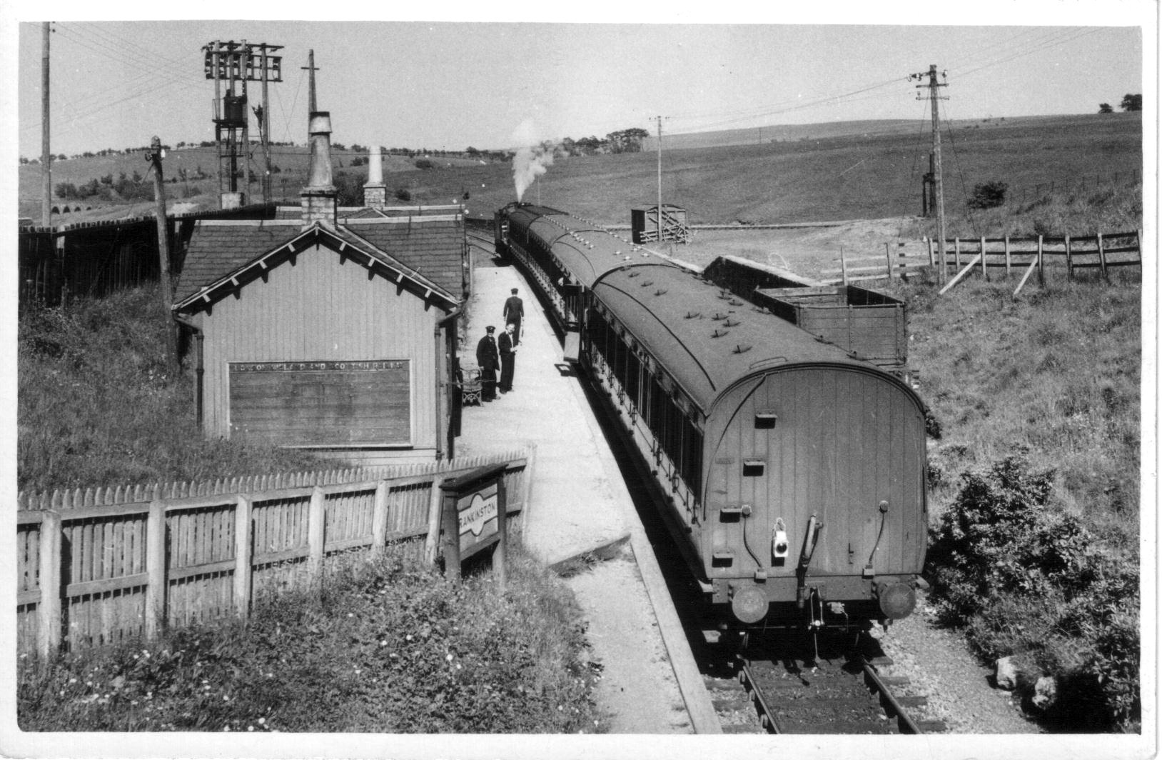
Rankinston railway station
Rankinston railway station was a railway station serving the village of Rankinston, East Ayrshire, Scotland. The station was by the Glasgow and South Western...
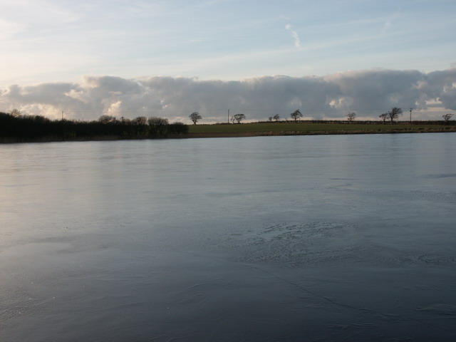
Belston Loch
Belston Loch (NS 34894 16186), also recorded as Dromsmodda Loch is a small freshwater loch in the East Ayrshire Council Area, near Sinclairston, 2 miles...

Cairntable Halt railway station
Cairntable Halt railway station was a railway station serving a rural district and the miners' row of forty-eight houses at the Cairntable Terraces, East...

Kerse Loch
Kerse Loch (NS 34894 16186), also recorded as Carse Loch (1841) is a small freshwater loch in the East Ayrshire Council Area, lying in a glacial Kettle...

Plaid Loch
Plaid Loch (NS 485186) was a freshwater loch in East Ayrshire, now a remnant due to drainage, near Sinclairston and 2 miles (3 km) south-east of Drongan...

Polnessan
Polnessan (Scottish Gaelic: Poll an Easain, pool on the small waterfall) is a small rural village in East Ayrshire, Scotland. Polnessan has a population...
Waterside railway station
Waterside railway station served the village of Waterside, East Ayrshire, Scotland, from 1856 to 1964 on the Ayr and Dalmellington Railway. == History... ==
Have you been to Auchingee Hill?
Leave your review of Auchingee Hill below (or comments, questions and feedback).