Torr Pàiteag

Hill, Mountain in Inverness-shire

Scotland

Torr Pàiteag

B862 between Whitebridge and Fort Augustus
B862 between Whitebridge and Fort Augustus Credit: Steven Brown

Torr Pàiteag is a prominent hill located in the Inverness-shire region of Scotland. Standing at an elevation of 1,579 feet (481 meters), it is classified as a Corbett, which is a Scottish mountain between 2,500 and 3,000 feet in height.

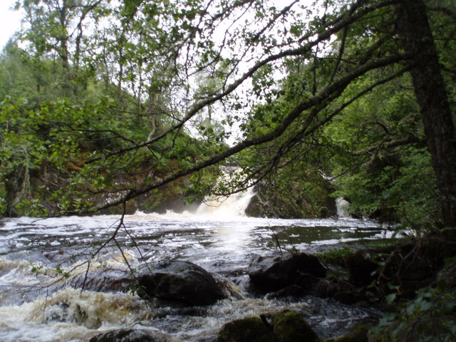
Situated near the village of Kiltarlity, Torr Pàiteag offers breathtaking views of the surrounding landscapes. Its distinctive cone-like shape makes it easily recognizable from a distance. The hill is mainly composed of granite, with its slopes covered in heather, grasses, and scattered boulders.

Torr Pàiteag is a popular destination among hikers and outdoor enthusiasts due to its relatively straightforward ascent and rewarding views from the summit. There are various routes to reach the top, with the most common approach starting from the northwest, near the village of Cannich.

From the summit, one can enjoy panoramic vistas of the nearby Glen Affric, the Great Glen, and the surrounding mountains, including the famous Ben Nevis. On clear days, it is even possible to see as far as the Isle of Skye.

The hill is also home to a diverse range of flora and fauna. Visitors may encounter wildflowers such as harebells and purple saxifrages during the summer months, while red deer and mountain hares are common sightings throughout the year.

Overall, Torr Pàiteag offers a rewarding and accessible hillwalking experience, with its stunning views, diverse wildlife, and tranquil surroundings making it a must-visit destination for nature lovers and outdoor adventurers.

If you have any feedback on the listing, please let us know in the comments section below.

Torr Pàiteag Images

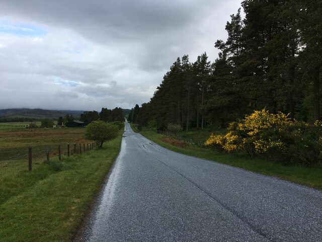
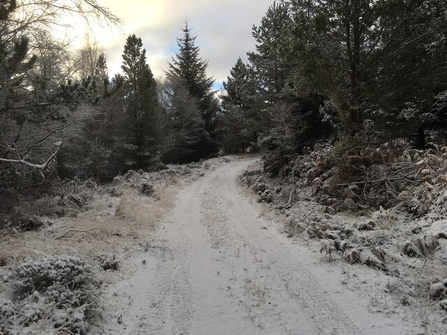
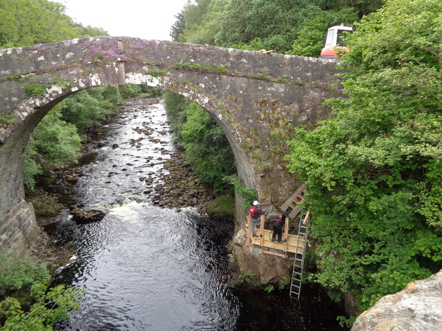
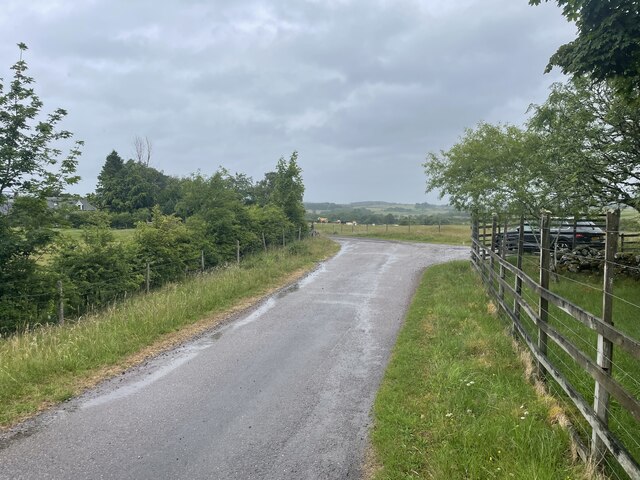
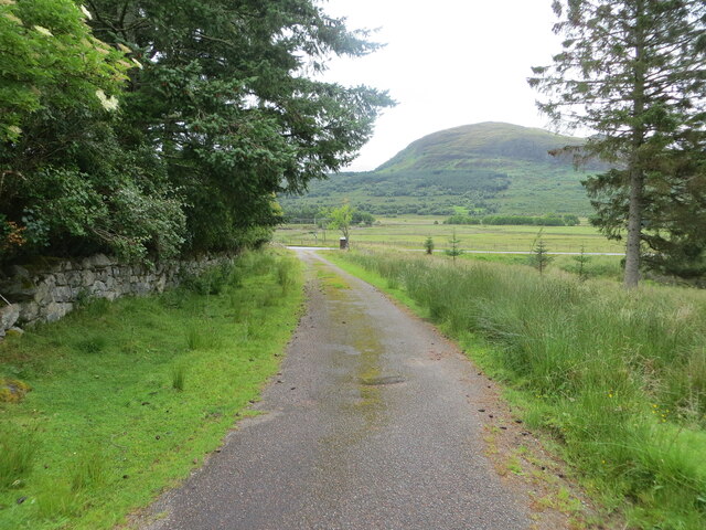
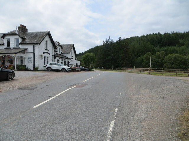
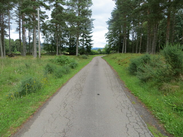
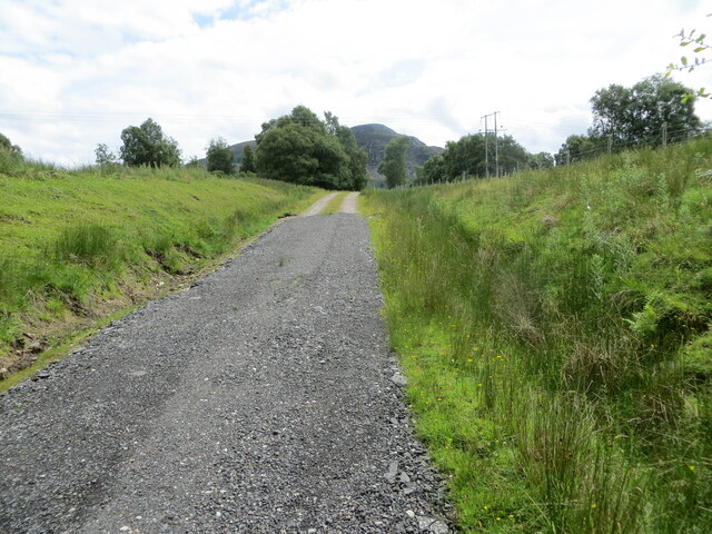
Images are sourced within 2km of 57.206681/-4.5312231 or Grid Reference NH4715. Thanks to Geograph Open Source API. All images are credited.

B862 between Whitebridge and Fort Augustus
Forestry road towards Loch Paiteag
Forestry road in Whitebridge Plantation
Wade's bridge Whitebridge Repairs being made to historic Wade Bridge over the River Fechlin
Wade's bridge Whitebridge
Repairs being made to historic Wade Bridge over the River Fechlin
Quiet back road Geocaching is a type of global treasure hunt of people looking for caches, or hidden stashes of objects. Geocaching may also be described as a series of hide-and-seek games, where hiders provide online clues for seekers. Seekers use global positioning system (GPS) devices to find hidden caches
Quiet back road
Geocaching is a type of global treasure hunt of people looking for caches, or hidden stashes of objects. Geocaching may also be described as a series of hide-and-seek games, where hiders provide online clues for seekers. Seekers use global positioning system (GPS) devices to find hidden caches
Track to road (B862) at Easter Drummond Looking south-eastward.
Track to road (B862) at Easter Drummond
Looking south-eastward.
Road (B862) at Whitebridge Hotel Looking south-westward.
Road (B862) at Whitebridge Hotel
Looking south-westward.
Minor road approaching Dell Lodge Looking north-eastward.
Minor road approaching Dell Lodge
Looking north-eastward.
Track giving access to Loch nan Losganan and Paddockfield Looking south-eastward.
Track giving access to Loch nan Losganan and Paddockfield
Looking south-eastward.
Ordnance Survey Flush Bracket G4053 This Bracket can be found on a building at Easter Drummond.
The recorded details give a height of 222.2213 metres above sea level.
For more detail see : <span class="nowrap"><a title="https://www.bench-marks.org.uk/bm18615" rel="nofollow ugc noopener" href="https://www.bench-marks.org.uk/bm18615">Link</a><img style="margin-left:2px;" alt="External link" title="External link - shift click to open in new window" src="https://s1.geograph.org.uk/img/external.png" width="10" height="10"/></span>
Ordnance Survey Flush Bracket G4053
This Bracket can be found on a building at Easter Drummond. The recorded details give a height of 222.2213 metres above sea level. For more detail see : LinkExternal link
Ordnance Survey Flush Bracket  G4054 This Bracket can be found on the wall of Whitebridge Hotel.
The recorded details give a height of 197.8258 metres above sea level.
For more detail see <span class="nowrap"><a title="https://www.bench-marks.org.uk/bm18616" rel="nofollow ugc noopener" href="https://www.bench-marks.org.uk/bm18616">Link</a><img style="margin-left:2px;" alt="External link" title="External link - shift click to open in new window" src="https://s1.geograph.org.uk/img/external.png" width="10" height="10"/></span>
Ordnance Survey Flush Bracket G4054
This Bracket can be found on the wall of Whitebridge Hotel. The recorded details give a height of 197.8258 metres above sea level. For more detail see LinkExternal link
Ordnance Survey Cut Mark with Rivet This mark and rivet can be found on top of the parapet wall of the 'old' White Bridge at Whitebridge,
The recorded details give a height of 187.6745 metres above sea level.
For more details see : <span class="nowrap"><a title="https://www.bench-marks.org.uk/bm61708" rel="nofollow ugc noopener" href="https://www.bench-marks.org.uk/bm61708">Link</a><img style="margin-left:2px;" alt="External link" title="External link - shift click to open in new window" src="https://s1.geograph.org.uk/img/external.png" width="10" height="10"/></span>
Ordnance Survey Cut Mark with Rivet
This mark and rivet can be found on top of the parapet wall of the 'old' White Bridge at Whitebridge, The recorded details give a height of 187.6745 metres above sea level. For more details see : LinkExternal link
The White Bridge The White Bridge crossing the River Fechlin at Whitebridge, Highland.
The White Bridge
The White Bridge crossing the River Fechlin at Whitebridge, Highland.
Waterfall on Allt Breineag below Killin road bridge
Looking along Allt Leachd Gowerie going to Loch Kemp
Fishermen on Loch Knockie
Cranog on Loch Knockie from Dell side
Loch Knockie East Shore (Dell estate)
Show me another place!

Torr Pàiteag is located at Grid Ref: NH4715 (Lat: 57.206681, Lng: -4.5312231)

Unitary Authority: Highland

Police Authority: Highlands and Islands

What 3 Words

///dollars.infects.clarifies. Near Drumnadrochit, Highland

Related Wikis

Whitebridge, Scotland

Whitebridge (Scottish Gaelic: An Drochaid Bhàn) is a small village on the southwest side of Loch Ness in northern Scotland. == Geography == It is roughly...

Immaculate Conception Parish Church, Stratherrick

Immaculate Conception Church, Stratherrick is in the Dalcrag area of Whitebridge, Inverness-shire, in the Highlands of Scotland and is a part of the Roman...

River Moriston

The River Moriston (Scottish Gaelic: Abhainn Mhoireastain) is a river in Inverness-shire, Scotland. It flows broadly east-north-east from the outfall of...

River E

The River E is a river in the Highlands of Scotland. It begins in the north-west of the Monadh Liath, to the south-east of Loch Ness. It runs in a north...

Have you been to Torr Pàiteag?

Leave your review of Torr Pàiteag below (or comments, questions and feedback).