Broom Hill

Hill, Mountain in Renfrewshire

Scotland

Broom Hill

Footpath beside Newshot Island LNR The footpath goes past the edge of Newshot Island Local Nature Reserve and leads to Newshot Drive.
Footpath beside Newshot Island LNR Credit: Richard Sutcliffe

The requested URL returned error: 429 Too Many Requests

If you have any feedback on the listing, please let us know in the comments section below.
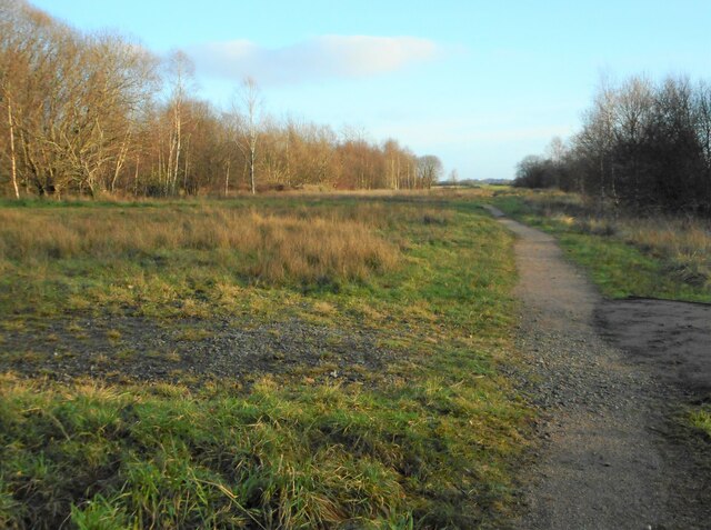
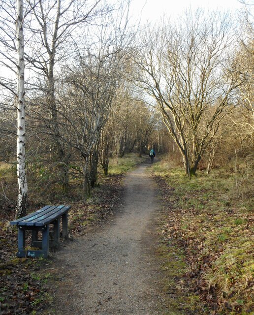
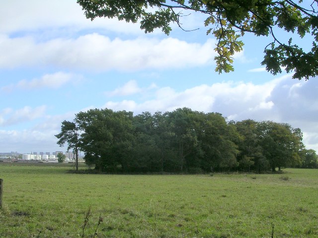
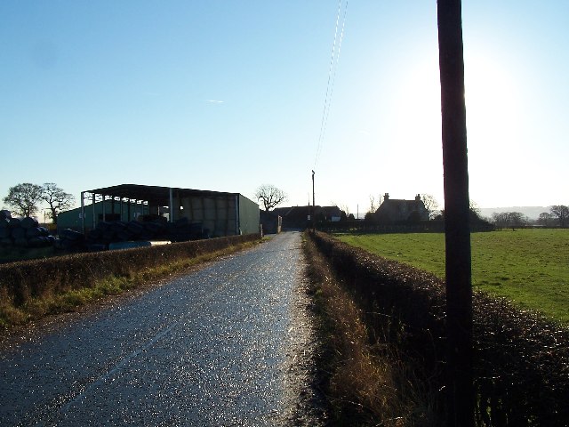
Broom Hill Images

Images are sourced within 2km of 55.886865/-4.4559166 or Grid Reference NS4668. Thanks to Geograph Open Source API. All images are credited.

Footpath beside Newshot Island LNR The footpath goes past the edge of Newshot Island Local Nature Reserve and leads to Newshot Drive.
Footpath beside Newshot Island LNR
The footpath goes past the edge of Newshot Island Local Nature Reserve and leads to Newshot Drive.
Footpath, Newshot Island Local Nature Reserve
India of Inchinnan They once made motor car tyres.
India of Inchinnan
They once made motor car tyres.
Inchinnan The Old Greenock Road and the Braehead Tavern
Inchinnan
The Old Greenock Road and the Braehead Tavern
Barnsford Bridge Spans the Black Cart near the Glasgow Airport.
Barnsford Bridge
Spans the Black Cart near the Glasgow Airport.
Sandieland Wood near Inchinnan
Park Hall Nursery, Inchinnan
The Red Smiddy Roundabout The Old Smiddy was knocked down for road re-development.
The Red Smiddy Roundabout
The Old Smiddy was knocked down for road re-development.
M8 Motorway Bridge The M8 crosses the Georgetown road to Houston.
M8 Motorway Bridge
The M8 crosses the Georgetown road to Houston.
Barnhill Farm
Barnhill Farm
Southbar Farm
Southbar Farm
Southholm Roundabout Turn left for Erskine Bridge
Southholm Roundabout
Turn left for Erskine Bridge
Black Cart Water next to the Barnsford Bridge by Glasgow Airport.
M8 westbound Most of this square is within ROF (Royal Ordnance Factory) Bishopton, the remainder is mostly motorway or railway track, with little or no land accessible on foot by the general public. The matrix sign is used to warn drivers of any delays on or around the Erskine Bridge. There is a similar one on the eastbound approach to the bridge.
M8 westbound
Most of this square is within ROF (Royal Ordnance Factory) Bishopton, the remainder is mostly motorway or railway track, with little or no land accessible on foot by the general public. The matrix sign is used to warn drivers of any delays on or around the Erskine Bridge. There is a similar one on the eastbound approach to the bridge.
North Commonside Farm amongst big arable fields. The M8 in the background.
North Commonside
Farm amongst big arable fields. The M8 in the background.
Broom Hill Trig point hidden amongst a grown out hedge and whin. A small hill that was being grazed by cattle.
Broom Hill
Trig point hidden amongst a grown out hedge and whin. A small hill that was being grazed by cattle.
New Mains The site of New Mains farm is now occupied by an industrial estate. Major airports are often surrounded by industrial estates and distribution centres , handling materials freighted in and out by air.  The passengers on an aircraft occupy the top half of a cylinder - below are holds for luggage and freight. Airlines hire out this space to cargo agents who sell it on to those that need to move cargo by air.
New Mains
The site of New Mains farm is now occupied by an industrial estate. Major airports are often surrounded by industrial estates and distribution centres , handling materials freighted in and out by air. The passengers on an aircraft occupy the top half of a cylinder - below are holds for luggage and freight. Airlines hire out this space to cargo agents who sell it on to those that need to move cargo by air.
Inchinnan Business Park Industrial estate next to Glasgow Airport.
Inchinnan Business Park
Industrial estate next to Glasgow Airport.
Show me another place!

Broom Hill is located at Grid Ref: NS4668 (Lat: 55.886865, Lng: -4.4559166)

Unitary Authority: Renfrewshire

Police Authority: Renfrewshire and Inverclyde

What 3 Words

///tamed.star.trunk. Near Inchinnan, Renfrewshire

Nearby Locations

Broom Hill

Related Wikis

India of Inchinnan

India of Inchinnan is now a commercial site in Inchinnan, Renfrewshire, Scotland, that was formerly used for various industrial uses. It includes the...

Inchinnan

Inchinnan (; Scottish Gaelic: Innis Fhionghain) is a small village in Renfrewshire, Scotland. The village is located on the main A8 road between Renfrew...

Lamont Farm

Lamont Farm Project is based in Erskine, Renfrewshire. It is a city farm which is open to the public. == History == Lamont Farm Project was founded in...

Georgetown railway station (Scotland)

Georgetown railway station was a railway station serving the village of Houston, Renfrewshire, Scotland, originally as part of the Glasgow, Paisley and...

Nearby Amenities

Located within 500m of 55.886865,-4.4559166
Location Transition: yes
Power: tower
Lat/Long: 55.8828205/-4.4561991
Power: tower
Lat/Long: 55.885045/-4.455563
Power: tower
Lat/Long: 55.886674/-4.4577847
Place Of Worship
Erskine Bible Centre
Religion: christian
Lat/Long: 55.8840584/-4.4564415
Power: tower
Lat/Long: 55.8891734/-4.4586486
WRC Recycling
Company: recycling
Lat/Long: 55.8836574/-4.4560914
Power: pole
Lat/Long: 55.882799/-4.4582105
Power: pole
Lat/Long: 55.8836181/-4.4582501
Power: pole
Lat/Long: 55.8841567/-4.4582585
Power: pole
Lat/Long: 55.8846941/-4.4582647
The data included in this document is from www.openstreetmap.org. The data is made available under ODbL.

Have you been to Broom Hill?

Leave your review of Broom Hill below (or comments, questions and feedback).