Tòrr na Bithe
Hill, Mountain in Sutherland
Scotland
Tòrr na Bithe
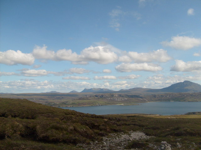
Tòrr na Bithe is a prominent hill located in the county of Sutherland, in the Scottish Highlands. With an elevation of approximately 714 meters (2,343 feet), it offers stunning panoramic views of the surrounding landscape. The hill is part of the vast and rugged terrain that characterizes this region, known for its wild beauty.
Tòrr na Bithe is situated within the Assynt region, a popular destination for outdoor enthusiasts and nature lovers. Its distinct shape and rocky outcrops make it easily recognizable from a distance. The hill is made up of ancient Lewisian gneiss, a type of metamorphic rock that contributes to its rugged appearance.
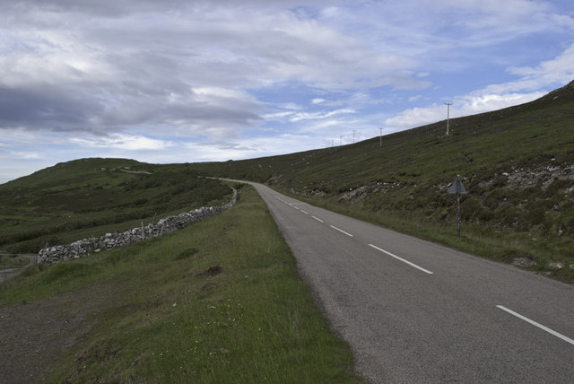
Hiking and hillwalking are popular activities for visitors who want to explore Tòrr na Bithe. There are several routes that lead to the summit, varying in difficulty and length. Along the way, hikers can encounter a diverse range of flora and fauna, including heather, bilberry, and various bird species. The hill is also home to a variety of wildlife, such as deer and mountain hares.
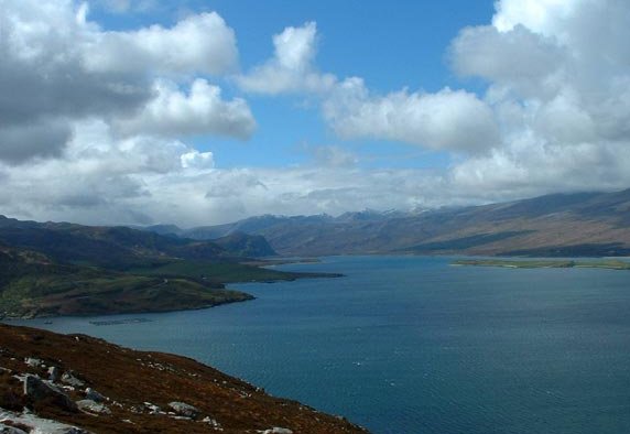
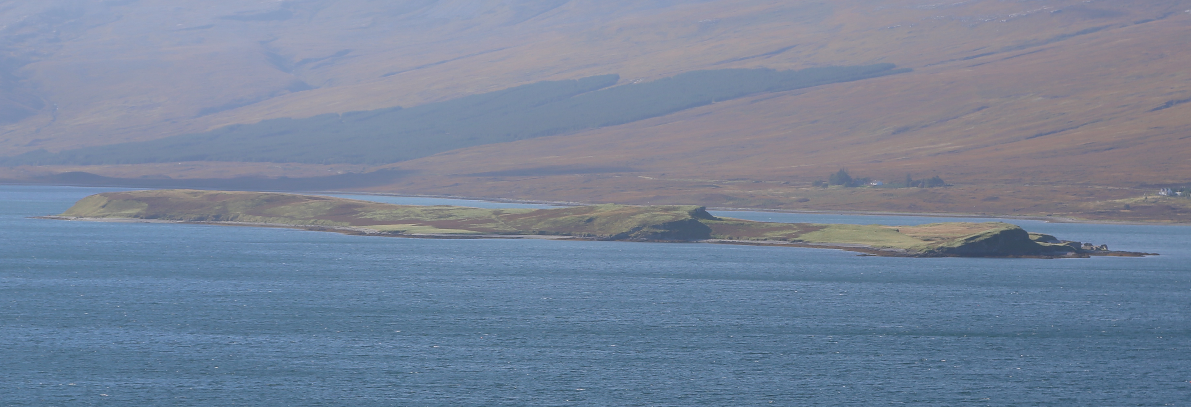
The summit of Tòrr na Bithe offers breathtaking views of the surrounding landscape, including nearby lochs, glens, and other hills. On a clear day, it is possible to see as far as the coast and the distant mountains of the West Highlands. The hill provides an opportunity for visitors to immerse themselves in the untamed beauty of the Scottish Highlands and enjoy a sense of tranquility in the untouched wilderness.
If you have any feedback on the listing, please let us know in the comments section below.
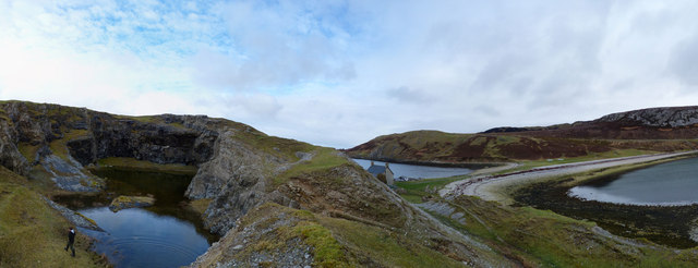
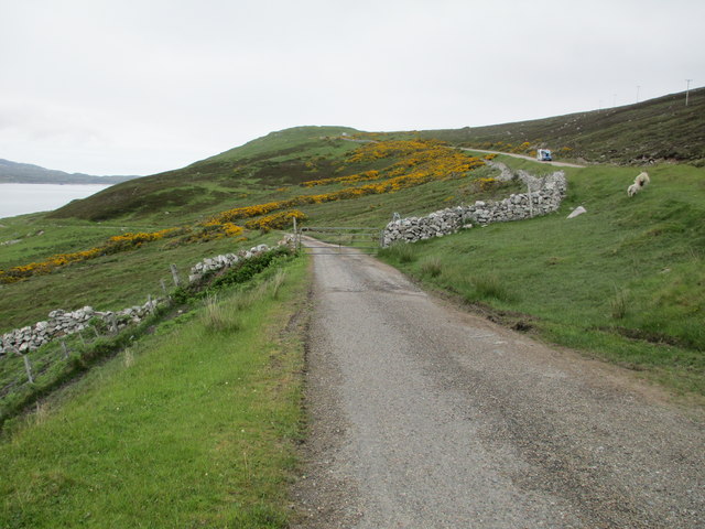
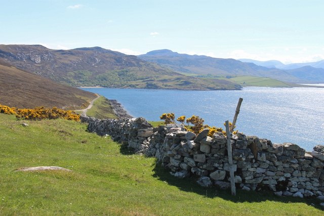
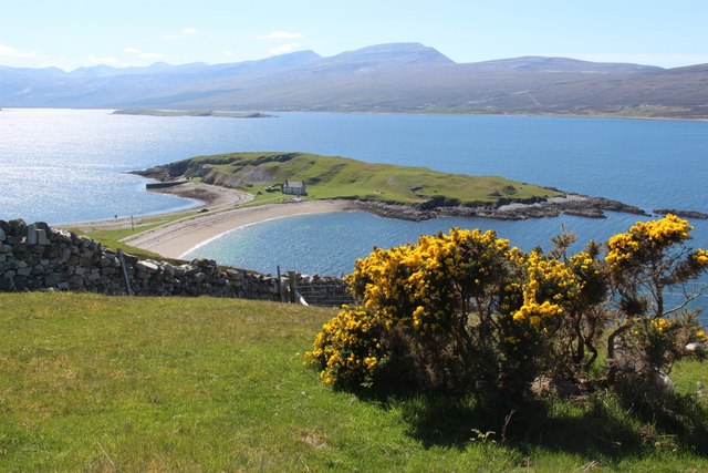
Tòrr na Bithe Images
Images are sourced within 2km of 58.505184/-4.6551806 or Grid Reference NC4560. Thanks to Geograph Open Source API. All images are credited.


Tòrr na Bithe is located at Grid Ref: NC4560 (Lat: 58.505184, Lng: -4.6551806)
Unitary Authority: Highland
Police Authority: Highlands and Islands
What 3 Words
///rooting.lousy.surfer. Near Oldshoremore, Highland
Nearby Locations
Related Wikis
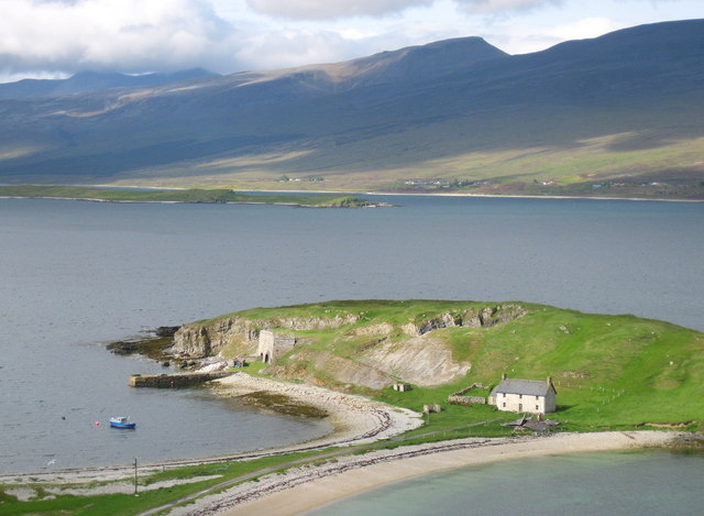
Loch Eriboll
Loch Eriboll (Scottish Gaelic: "Loch Euraboil") is a 16 km (9.9 mi) long sea loch on the north coast of Scotland, which has been used for centuries as...

Portnancon
Portnacon is a small remote crofting township, and former fishing station, on the west shore of Loch Eriboll in Sutherland, Scottish Highlands in the...
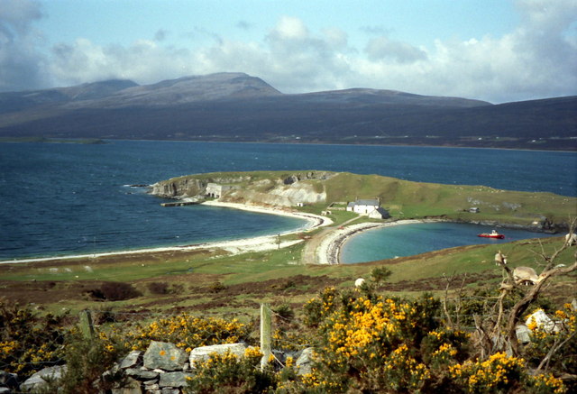
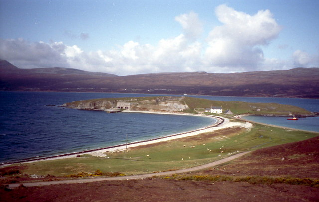
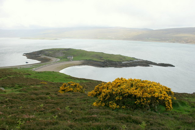
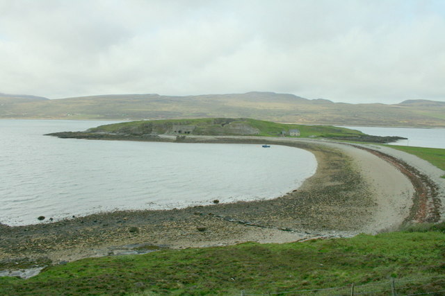
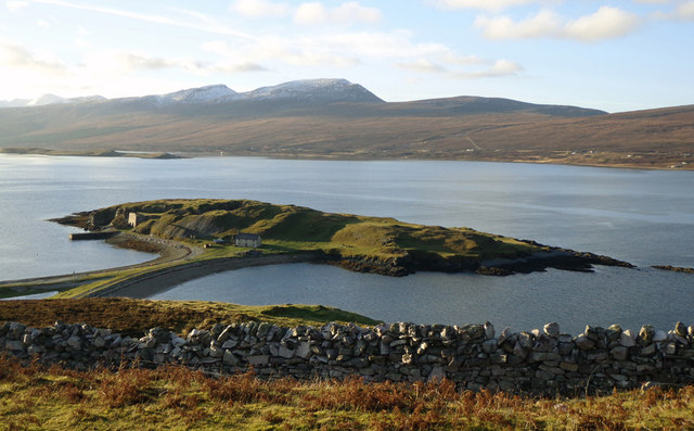
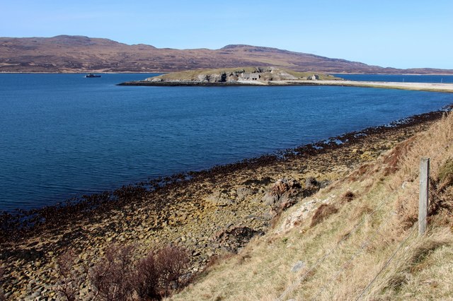
Eilean Choraidh
Eilean Choraidh, also known as Horse Island is an island in Loch Eriboll in Sutherland on the north coast of Scotland. It is about 26 hectares (64 acres...

Eriboll
Eriboll (Scottish Gaelic: Earabol) is a village in Sutherland, Scotland. The village is situated on the south eastern shore of Loch Eriboll, in the northern...
Nearby Amenities
Located within 500m of 58.505184,-4.6551806Have you been to Tòrr na Bithe?
Leave your review of Tòrr na Bithe below (or comments, questions and feedback).