Black Benwee Hill
Hill, Mountain in Kirkcudbrightshire
Scotland
Black Benwee Hill

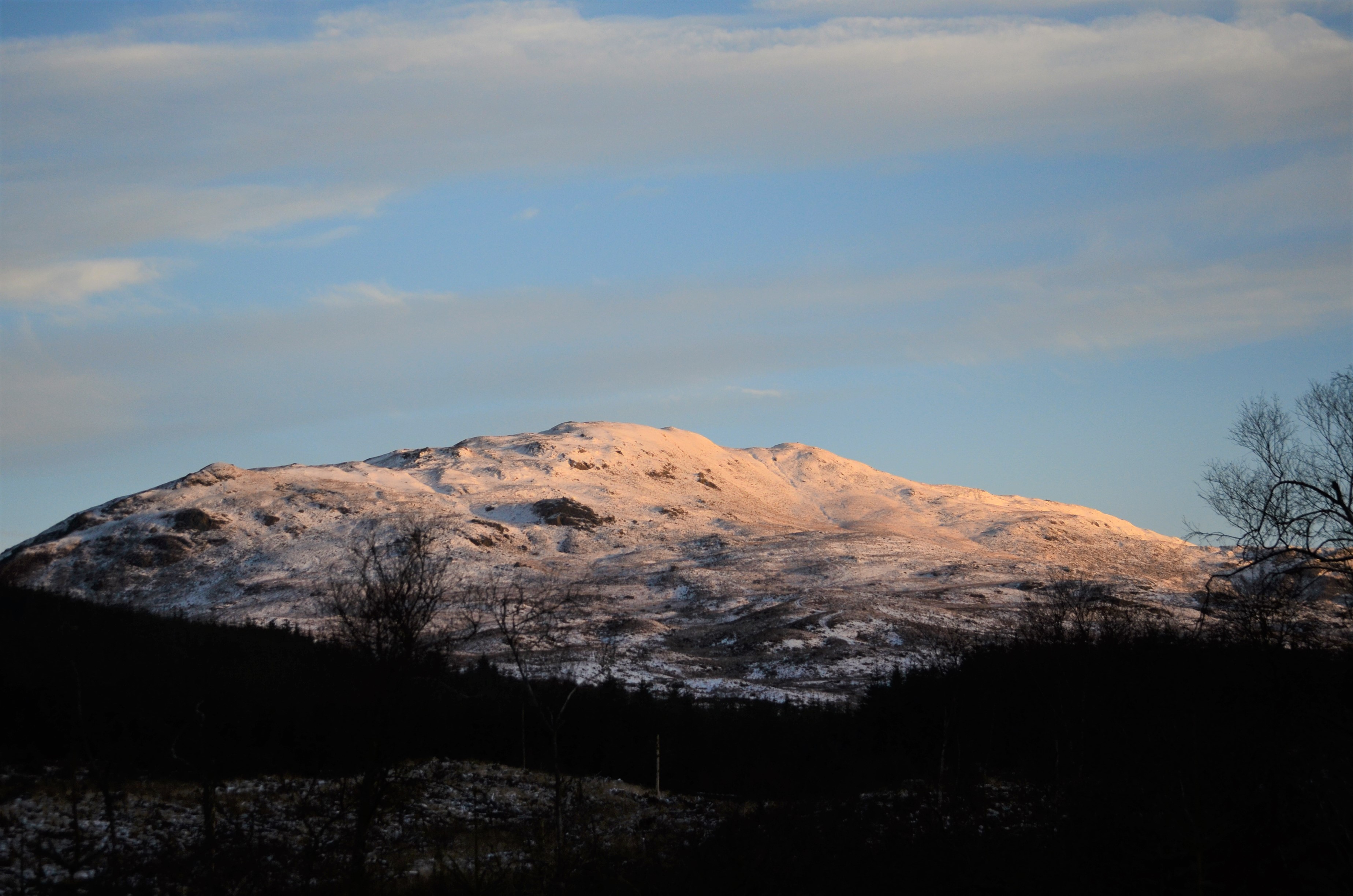
Black Benwee Hill is a prominent hill located in Kirkcudbrightshire, Scotland. Standing at an elevation of 260 meters (850 feet), it offers stunning panoramic views of the surrounding countryside and coastline. The hill is a popular destination for hikers and nature enthusiasts, as it is known for its rugged terrain and diverse wildlife.
The name "Black Benwee" is believed to have Gaelic origins, with "Benwee" meaning "small hill" or "mountain." The hill is characterized by its dark, rocky slopes and lush green vegetation, making it a striking feature in the landscape.
Visitors to Black Benwee Hill can enjoy a challenging hike to the summit, where they will be rewarded with breathtaking views of the Galloway Forest Park, Solway Firth, and the Isle of Man on clear days. The hill is also home to a variety of wildlife, including birds of prey, deer, and wildflowers.
Overall, Black Benwee Hill is a must-visit destination for outdoor enthusiasts looking to explore the natural beauty of Kirkcudbrightshire and enjoy a peaceful escape in the Scottish countryside.
If you have any feedback on the listing, please let us know in the comments section below.
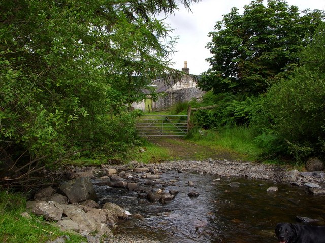
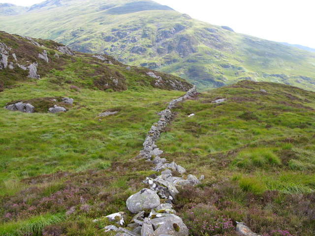
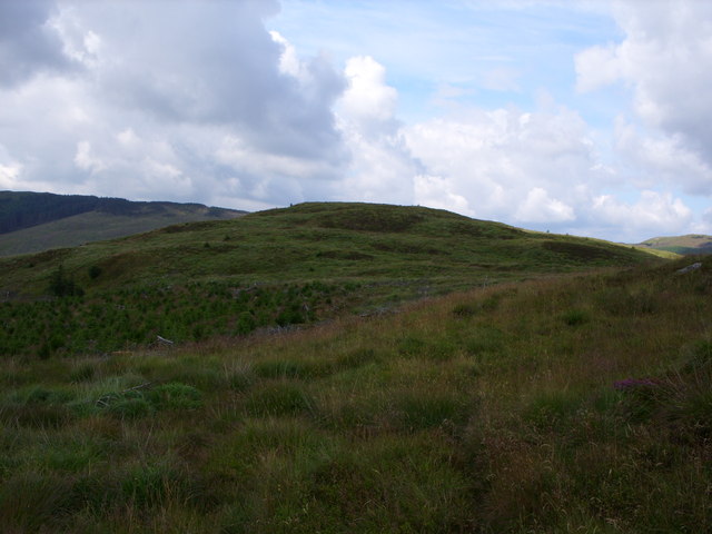
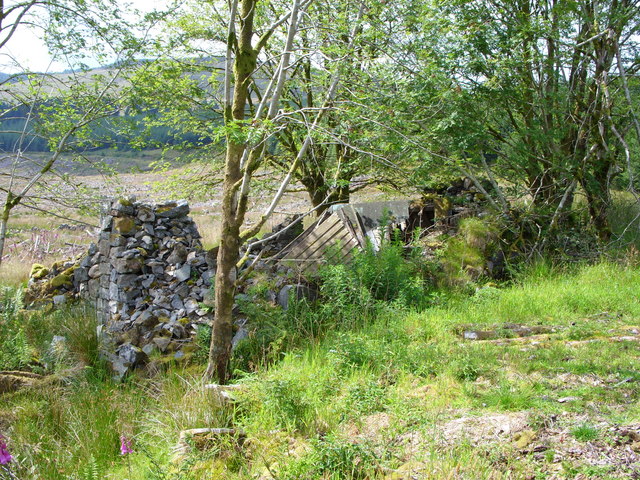
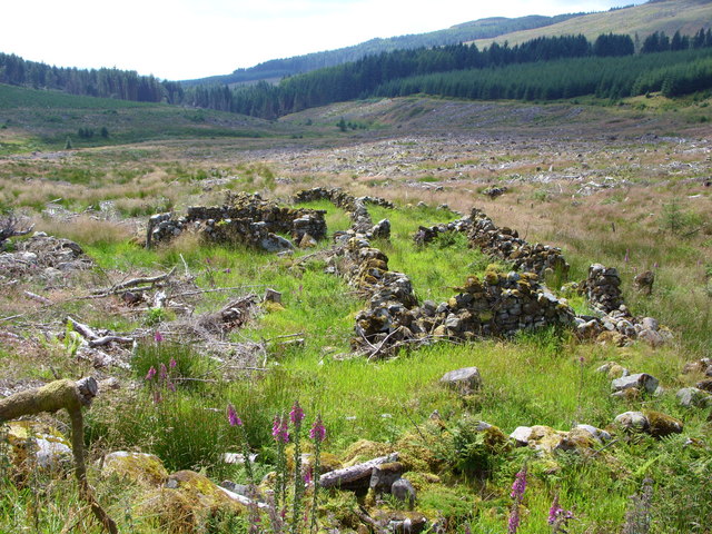
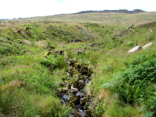
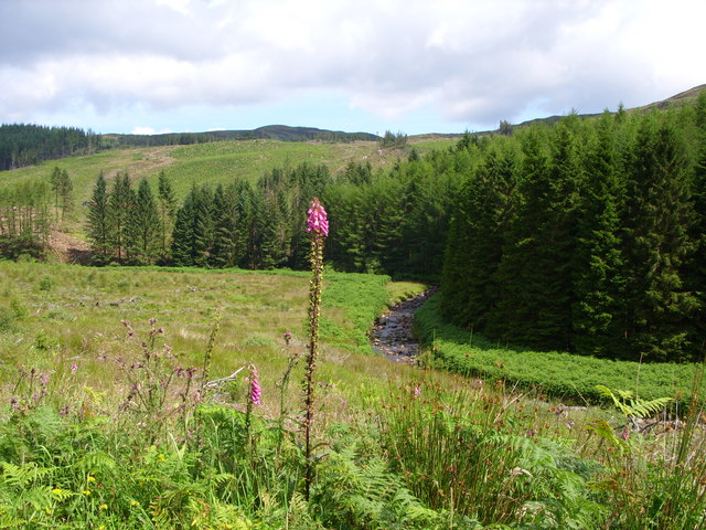
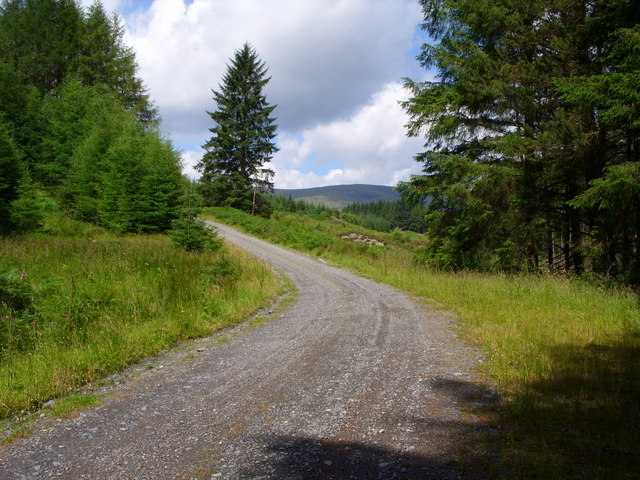
Black Benwee Hill Images
Images are sourced within 2km of 55.032271/-4.4241889 or Grid Reference NX4573. Thanks to Geograph Open Source API. All images are credited.


Black Benwee Hill is located at Grid Ref: NX4573 (Lat: 55.032271, Lng: -4.4241889)
Unitary Authority: Dumfries and Galloway
Police Authority: Dumfries and Galloway
What 3 Words
///exploring.bulbs.piston. Near Newton Stewart, Dumfries & Galloway
Nearby Locations
Related Wikis

Hespies Linn
Hespies Linn is a waterfall of Scotland. == See also == Waterfalls of Scotland == References ==
Millfore
Millfore is a hill in the Minnigaff Hills, a sub-range of the Galloway Hills range, part of the Southern Uplands of Scotland. It lies northeast of Newton...

Lamachan Hill
Lamachan Hill is a hill in the Minnigaff Hills, a sub-range of the Galloway Hills range, part of the Southern Uplands of Scotland. It is the highest hill...
Talnotrie Hoard
The Talnotrie Hoard is a 9th-century mixed hoard of jewellery, coinage, metal-working objects and raw materials found in Talnotrie, Scotland, in 1912....
Have you been to Black Benwee Hill?
Leave your review of Black Benwee Hill below (or comments, questions and feedback).