Boyd's Hill

Hill, Mountain in Ayrshire

Scotland

Boyd's Hill

Minor road,Moyne Moor Road cuts through very rough grazing near Picketlaw Farm
Minor road,Moyne Moor Credit: wfmillar

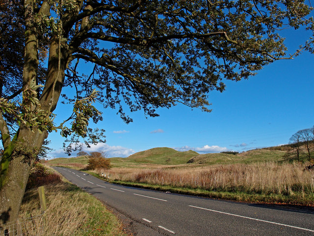
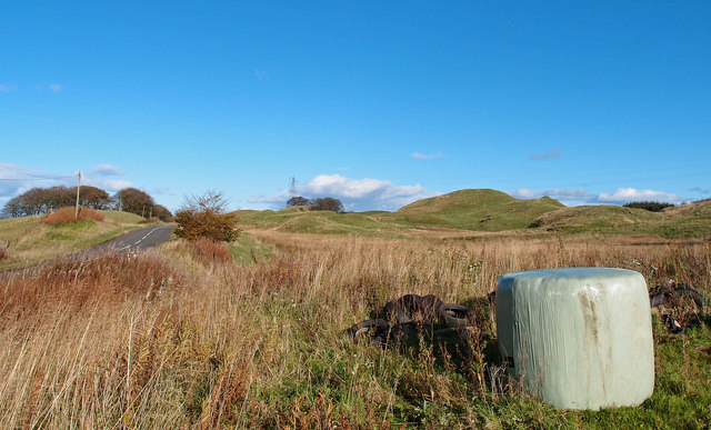
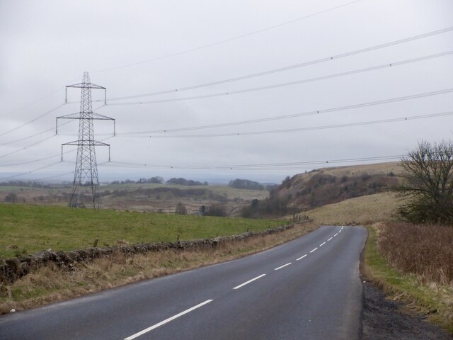
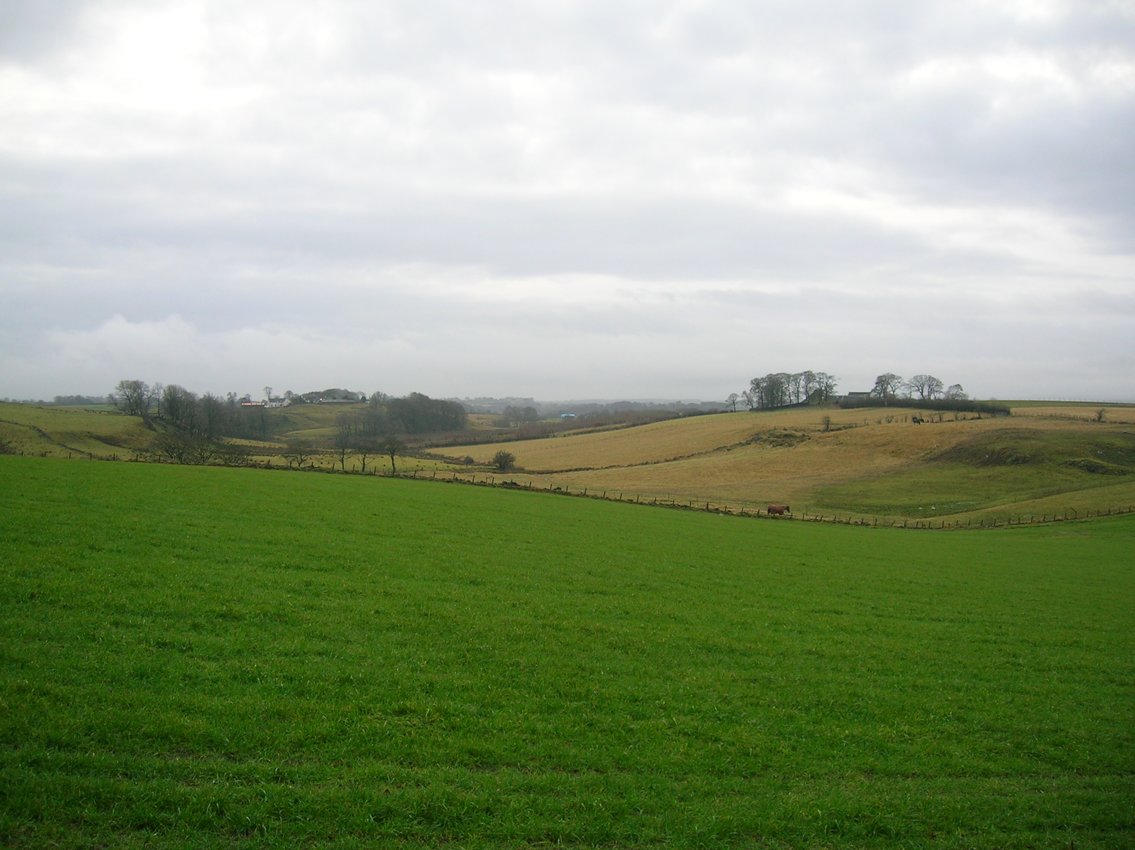
Boyd's Hill is a prominent landmark located in the county of Ayrshire, Scotland. It is a hill or mountain that stands at an elevation of approximately 380 meters (1,247 feet) above sea level. Situated near the village of Dunlop, the hill offers breathtaking views of the surrounding countryside and is a popular destination for hikers and nature enthusiasts.

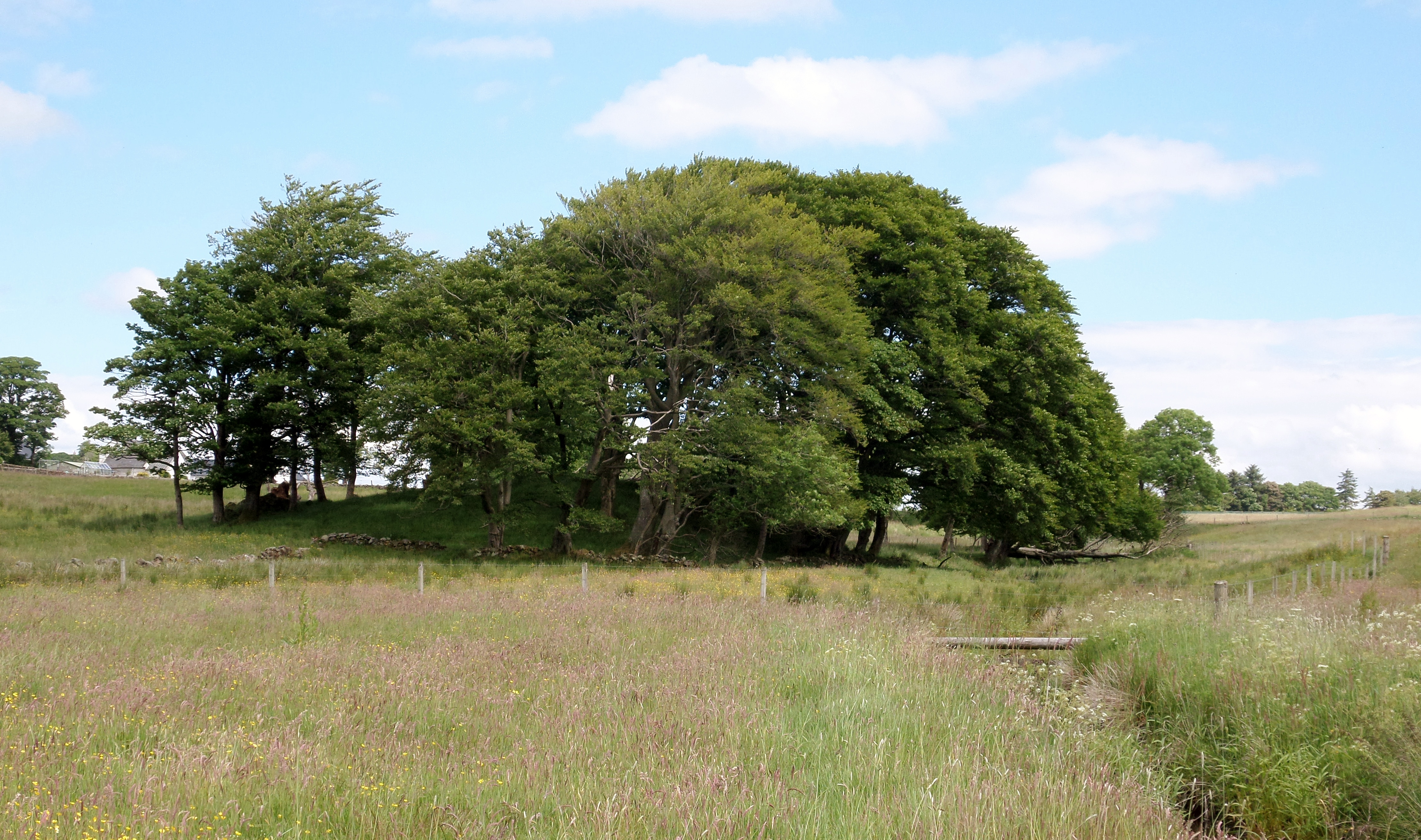
The hill is named after the Boyd family, who were prominent landowners in the area during the medieval period. It is believed that the hill was used as a defensive site by the Boyds, with remnants of an ancient fortification still visible on its slopes. These fortifications were likely built as a strategic vantage point, providing a clear view of the surrounding landscape.

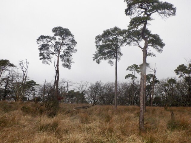
Boyd's Hill is characterized by its rugged terrain, featuring steep slopes and rocky outcrops. The hill is covered in a mixture of grassland, heather, and scattered trees, creating a diverse habitat for a variety of flora and fauna. It is not uncommon to spot wildlife such as deer, hares, and birds of prey while exploring the area.

The hill is accessible via several walking paths, with the most popular route starting from the nearby village of Dunlop. The ascent can be challenging at times, but the rewarding panoramic views from the summit make it well worth the effort.

Overall, Boyd's Hill is a picturesque and historically significant landmark in Ayrshire, offering visitors a chance to immerse themselves in the natural beauty and rich history of the region.

If you have any feedback on the listing, please let us know in the comments section below.

Boyd's Hill Images

Images are sourced within 2km of 55.736338/-4.4758419 or Grid Reference NS4451. Thanks to Geograph Open Source API. All images are credited.

Minor road,Moyne Moor Road cuts through very rough grazing near Picketlaw Farm
Minor road,Moyne Moor
Road cuts through very rough grazing near Picketlaw Farm
Minor Road, between Uplawmoor and Neilston Oak tree and Dareduff Hill.
Minor Road, between Uplawmoor and Neilston
Oak tree and Dareduff Hill.
Isolated Big Bale Adjacent to the minor road between Uplawmoor and Neilston. Dareduff Hill in the distance.
Isolated Big Bale
Adjacent to the minor road between Uplawmoor and Neilston. Dareduff Hill in the distance.
Townened of Fulwood from the air The disused quarry opposite Craignaught Farm <a href="https://www.geograph.org.uk/photo/171003">NS4451 : Disused quarry</a> can be seen in the lower right corner.
Townened of Fulwood from the air
The disused quarry opposite Craignaught Farm NS4451 : Disused quarry can be seen in the lower right corner.
Straight road beyond Glebe Knowe County boundary sign just visible.
Straight road beyond Glebe Knowe
County boundary sign just visible.
Sheepfold  near Craignaught Farm
Sheepfold near Craignaught Farm
Pool opposite Craignaught Farm
Pond, Craignaught Probably associated with the quarry to the west.
Pond, Craignaught
Probably associated with the quarry to the west.
Neilston to Dunlop road
Road, Carswell
Road, Carswell
In the Sitka, Dareduff Hill First generation plantation with a cut path between rows of trees.
In the Sitka, Dareduff Hill
First generation plantation with a cut path between rows of trees.
Near the summit, Dareduff Hill A pond in a quarry with the highest point a short way into the trees.
Near the summit, Dareduff Hill
A pond in a quarry with the highest point a short way into the trees.
Wheely bins, East Muirshiel Also some of the useless recycling boxes used by East Lothian Council - they get blown away.
Wheely bins, East Muirshiel
Also some of the useless recycling boxes used by East Lothian Council - they get blown away.
Gate, Knockmade Both sides of the road are now wooded.
Gate, Knockmade
Both sides of the road are now wooded.
Bath in a former field The fields here have been fenced off and left with some tree planting in the drier parts.
Bath in a former field
The fields here have been fenced off and left with some tree planting in the drier parts.
Summit, Knockmade Knockmade Plantation
Summit, Knockmade
Knockmade Plantation
Bath in a field, Hazelbank
Three trees Beside Harelaw Road at Townend of Fullwood.
Three trees
Beside Harelaw Road at Townend of Fullwood.
Show me another place!

Boyd's Hill is located at Grid Ref: NS4451 (Lat: 55.736338, Lng: -4.4758419)

Unitary Authority: East Ayrshire

Police Authority: Ayrshire

What 3 Words

///decorator.mission.roadshow. Near Dunlop, East Ayrshire

Nearby Locations

Boyd's Hill

Related Wikis

Halket Loch

Halket Loch' also known as Halkhead or Halketh, was situated in the mid-Ayrshire clayland near Lugton. It is visible as a surface depression in pastureland...

Lands of Blacklaw

The Lands of Blacklaw formed a small property of five merks worth, in the Lordship of Stewarton at the eastern extremity of Strathannick, between the hamlet...

Uplawmoor (L&A) railway station

Uplawmoor railway station was a railway station serving the village of Uplawmoor, East Renfrewshire, Scotland as part of the Lanarkshire and Ayrshire Railway...

Lugton High railway station

Lugton High railway station was a railway station serving the hamlet of Lugton, East Ayrshire, Scotland as part of the Lanarkshire and Ayrshire Railway...

Nearby Amenities

Located within 500m of 55.736338,-4.4758419
Power: tower
Lat/Long: 55.7388423/-4.4746604
Power: tower
Lat/Long: 55.7340152/-4.4722593
Power: tower
Lat/Long: 55.7363539/-4.4734225
Craignaught Hill
Natural: peak
Lat/Long: 55.7335344/-4.478056
Power: pole
Lat/Long: 55.7404101/-4.4749333
Power: pole
Lat/Long: 55.7399096/-4.4740359
Power: pole
Lat/Long: 55.7394092/-4.4731386
Power: pole
Lat/Long: 55.7399132/-4.4724896
Power: pole
Lat/Long: 55.7402174/-4.4720847
Power: pole
Lat/Long: 55.7324367/-4.4744658
Power: pole
Lat/Long: 55.7333473/-4.4744909
Power: pole
Lat/Long: 55.7341909/-4.474518
The data included in this document is from www.openstreetmap.org. The data is made available under ODbL.

Have you been to Boyd's Hill?

Leave your review of Boyd's Hill below (or comments, questions and feedback).