Balfern Hill

Hill, Mountain in Wigtownshire

Scotland

Balfern Hill

Bluebells in a glade in The Forest With walks in this Forest Commission Land.
Bluebells in a glade in The Forest Credit: Russel Wills

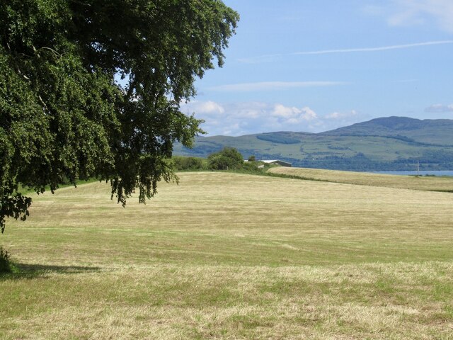
Balfern Hill is a prominent natural landmark located in Wigtownshire, Scotland. Rising majestically to an elevation of 449 meters (1,473 feet), it is considered one of the highest peaks in the region. Situated in the southern part of the county, the hill offers breathtaking panoramic views of the surrounding countryside and nearby coastal areas.

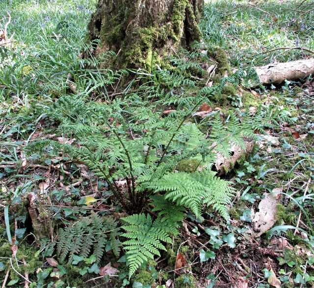
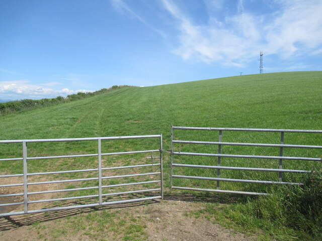
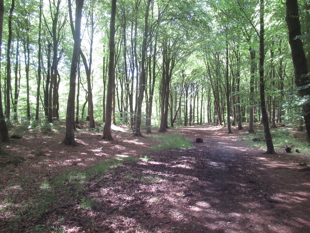
Covered in lush green vegetation, Balfern Hill is a haven for nature enthusiasts, offering a diverse range of flora and fauna. The hill's slopes are adorned with heather, gorse, and wildflowers, creating a vibrant and picturesque landscape throughout the year. Various species of birds, including skylarks and peregrine falcons, can be spotted soaring above the hill, making it a popular spot for birdwatching.

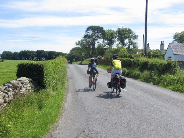
Hikers and outdoor enthusiasts are drawn to Balfern Hill due to its well-maintained trails and accessible routes. The ascent to the summit can be challenging but rewarding, as it provides stunning views of the surrounding countryside, including the nearby town of Wigtown and the rolling hills of Galloway Forest Park. The hill is also a popular destination for mountain bikers, who can enjoy thrilling rides along the designated trails.

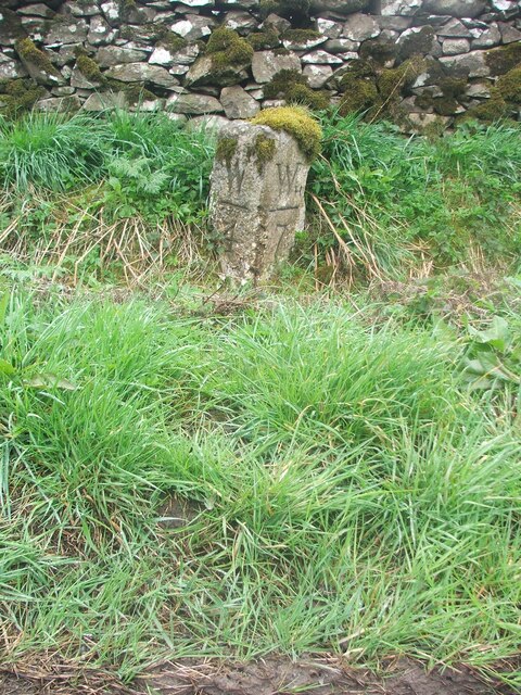
Balfern Hill holds historical significance, with traces of ancient settlements and burial sites found in its vicinity. Archaeological remains suggest that the hill was inhabited by early settlers as far back as the Bronze Age. These historical remnants add an extra layer of fascination to the hill's natural beauty.

Overall, Balfern Hill in Wigtownshire stands as a cherished natural gem, offering a blend of breathtaking vistas, rich biodiversity, and historical significance, making it a favored destination for outdoor enthusiasts and nature lovers alike.

If you have any feedback on the listing, please let us know in the comments section below.
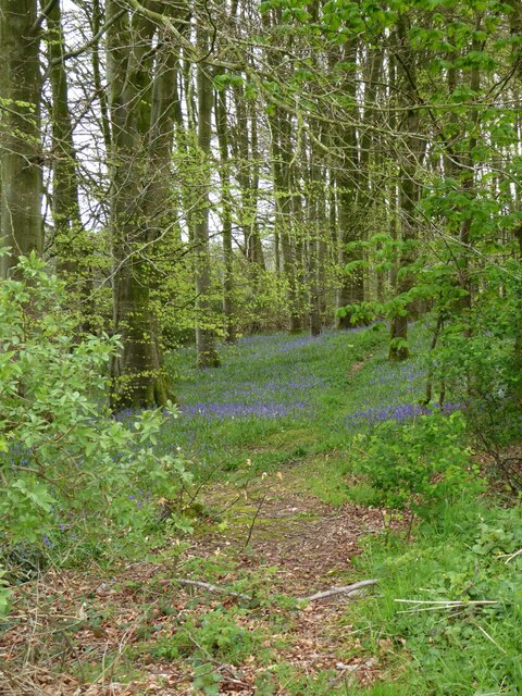
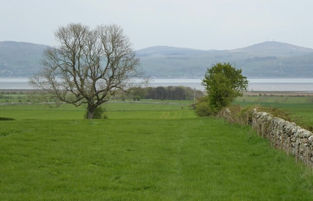
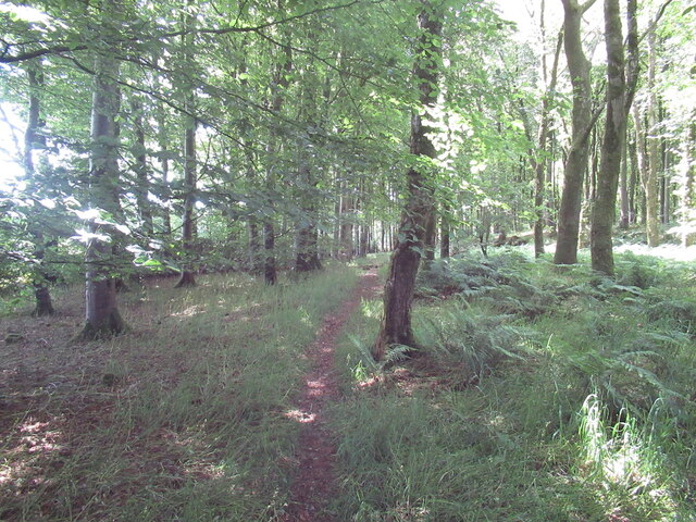
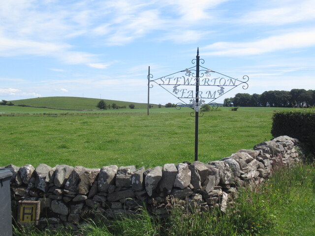
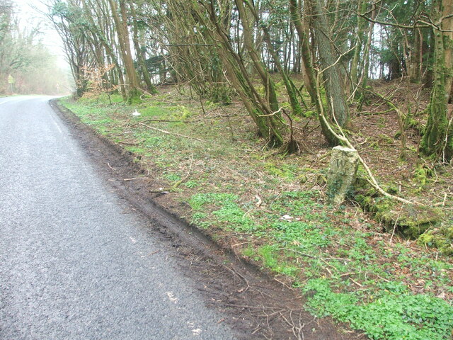
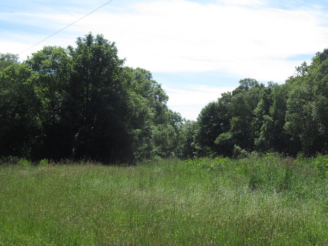
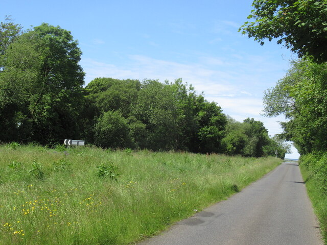
Balfern Hill Images

Images are sourced within 2km of 54.822481/-4.4289103 or Grid Reference NX4450. Thanks to Geograph Open Source API. All images are credited.

Bluebells in a glade in The Forest With walks in this Forest Commission Land.
Bluebells in a glade in The Forest
With walks in this Forest Commission Land.
Dry stone wall  Leading down through pastures towards Baldoon Sands.
Dry stone wall
Leading down through pastures towards Baldoon Sands.
Path, Kilsture Forest
Farm sign, Stewarton
Passing Stewarton Touring from Glasgow to Stranraer.
Passing Stewarton
Touring from Glasgow to Stranraer.
Stewarton Hill A drumlin.
Stewarton Hill
A drumlin.
Orchardton After a silage harvest.
Orchardton
After a silage harvest.
New Growth A clump of Broad Buckler (Dryopteris dilatata) ferns appearing in time for Spring.
New Growth
A clump of Broad Buckler (Dryopteris dilatata) ferns appearing in time for Spring.
Bees Nest (Former) It looks like a Badger has had a very sweet meal of honey here!
Bees Nest (Former)
It looks like a Badger has had a very sweet meal of honey here!
Old milestone On the west side verge in The Forest is the milestone 5 miles south of Wigton with 6 more miles to Whithorn.  A good clean wouldn't go amiss.
Old milestone
On the west side verge in The Forest is the milestone 5 miles south of Wigton with 6 more miles to Whithorn. A good clean wouldn't go amiss.
Old milestone Southwards towards Whithorn.   In April not much tree cover but by summer when there is full foliage on the trees, this milestone will be in the shade.
Old milestone
Southwards towards Whithorn. In April not much tree cover but by summer when there is full foliage on the trees, this milestone will be in the shade.
Old milestone At the northwest end of a finger of trees from The Forest, Kilsture Forest.   So many of the milestones in Wigtownshire are leaning, perhaps it is that the ground is generally quite soft in this area.   But they may have been there for about a 100 years.
Old milestone
At the northwest end of a finger of trees from The Forest, Kilsture Forest. So many of the milestones in Wigtownshire are leaning, perhaps it is that the ground is generally quite soft in this area. But they may have been there for about a 100 years.
Old milestone Looking back towards Wigtown.   The buildings near the trees are Stewarton and the road sign is Cattle Crossing.
Old milestone
Looking back towards Wigtown. The buildings near the trees are Stewarton and the road sign is Cattle Crossing.
Road junction, Littlehills Wood A big unmown area between two gently diverging roads.
Road junction, Littlehills Wood
A big unmown area between two gently diverging roads.
B7004, Little Hills A one way stretch at a fork in the road away from the A746.
B7004, Little Hills
A one way stretch at a fork in the road away from the A746.
Turkey Hill
Turkey Hill
Kilsture Forest A waymarked path leading from a car park.
Kilsture Forest
A waymarked path leading from a car park.
Old milestone Almost invisible beneath the wall and under moss, the 4 miles from Wigtown milestone on the A746 is in the woods near the entrance to Knockencurr.
Old milestone
Almost invisible beneath the wall and under moss, the 4 miles from Wigtown milestone on the A746 is in the woods near the entrance to Knockencurr.
Show me another place!

Balfern Hill is located at Grid Ref: NX4450 (Lat: 54.822481, Lng: -4.4289103)

Unitary Authority: Dumfries and Galloway

Police Authority: Dumfries and Galloway

What 3 Words

///solving.decks.essential. Near Whithorn, Dumfries & Galloway

Nearby Locations

Shell Hill Balfern Hill

Related Wikis

Kirkinner

Kirkinner (Scottish Gaelic: Cille Chainneir, IPA: [ˈkʲʰiʎə ˈxaɲɪɾʲ]) is a village in the Machars, in the historical county of Wigtownshire in Dumfries...

Kirkinner railway station

Kirkinner was a railway station on the Wigtownshire Railway branch line, from Newton Stewart to Whithorn, of the Portpatrick and Wigtownshire Joint Railway...

Sorbie railway station

Sorbie (NX4351447562) was a railway station that was located close to the village of Sorbie on the then Wigtownshire Railway branch line to Whithorn, from...

Sorbie Tower

Sorbie Tower is a fortified tower house 1 mile east of the village of Sorbie, Dumfries and Galloway, Scotland. The ancient seat of the Clan Hannay, it...

Nearby Amenities

Located within 500m of 54.822481,-4.4289103
Balfern
Naptan AtcoCode: 680000879111
Naptan Bearing: NW
Naptan BusStopType: CUS
Naptan CommonName: Balfern
Naptan Indicator: opp Road end
Naptan Landmark: A746
Naptan NaptanCode: 34236867
Naptan Notes: none
Naptan Street: B7004
Naptan Verified: no
Source: naptan_import
Lat/Long: 54.8215974/-4.434316
Balfern
Naptan AtcoCode: 680000879222
Naptan Bearing: SE
Naptan BusStopType: CUS
Naptan CommonName: Balfern
Naptan Indicator: Road End
Naptan Landmark: A746
Naptan NaptanCode: 34236865
Naptan Notes: none
Naptan Street: B7004
Naptan Verified: no
Source: naptan_import
Lat/Long: 54.821667/-4.4342394
Place: farm
Lat/Long: 54.8244701/-4.4303236
Balfern Hill
Natural: peak
Lat/Long: 54.8223103/-4.4290313
Power: pole
Lat/Long: 54.8262788/-4.4307365
Power: pole
Lat/Long: 54.8255232/-4.4299216
Power: pole
Lat/Long: 54.8246716/-4.4290156
Power: pole
Lat/Long: 54.8239067/-4.4323066
Power: pole
Lat/Long: 54.823778/-4.4318822
Power: pole
Lat/Long: 54.8236391/-4.431433
Power: pole
Lat/Long: 54.8234948/-4.4309885
Power: pole
Lat/Long: 54.8237685/-4.4305064
Power: pole
Lat/Long: 54.8240828/-4.4299608
Power: pole
Lat/Long: 54.8243964/-4.4294422
Power: pole
Lat/Long: 54.8254464/-4.4287038
Power: pole
Lat/Long: 54.8261861/-4.4283957
Power: pole
Lat/Long: 54.826942/-4.4280759
Power: pole
Lat/Long: 54.8243131/-4.4274186
Power: pole
Lat/Long: 54.8238498/-4.4262356
Power: pole
Lat/Long: 54.8233918/-4.4250598
Power: pole
Lat/Long: 54.8229/-4.4238087
Power: pole
Lat/Long: 54.8224394/-4.4226587
Power: pole
Lat/Long: 54.821617/-4.4213017
The data included in this document is from www.openstreetmap.org. The data is made available under ODbL.

Have you been to Balfern Hill?

Leave your review of Balfern Hill below (or comments, questions and feedback).