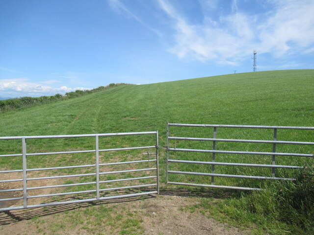
Turkey Hill

Hill, Mountain in Wigtownshire

Scotland

Turkey Hill

Bluebells in a glade in The Forest With walks in this Forest Commission Land.
Bluebells in a glade in The Forest Credit: Russel Wills

The requested URL returned error: 429 Too Many Requests

If you have any feedback on the listing, please let us know in the comments section below.
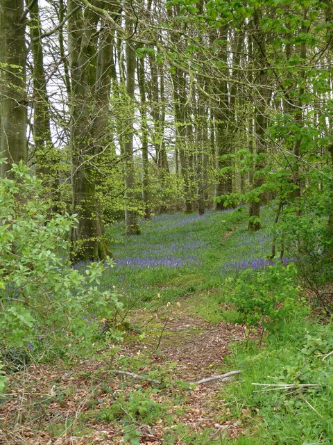
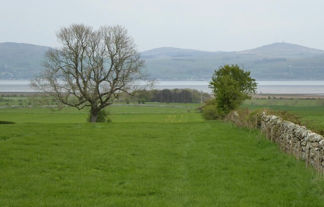
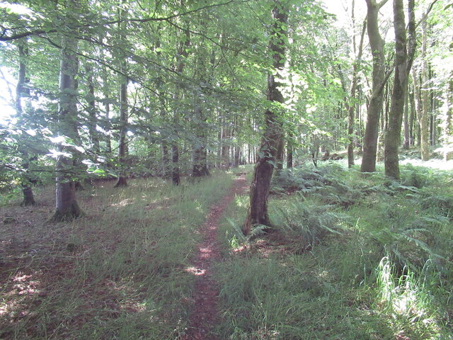
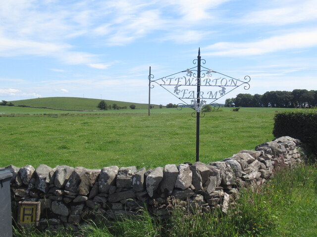
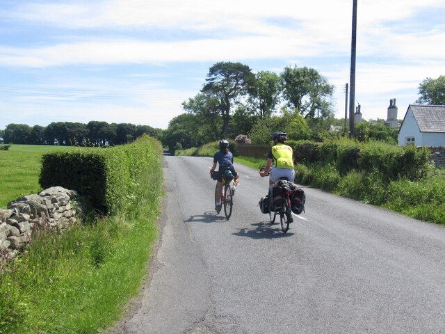
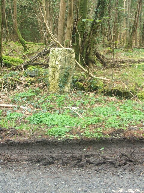
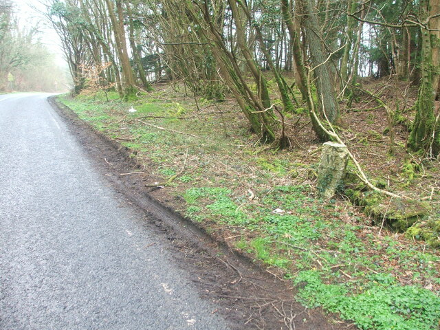
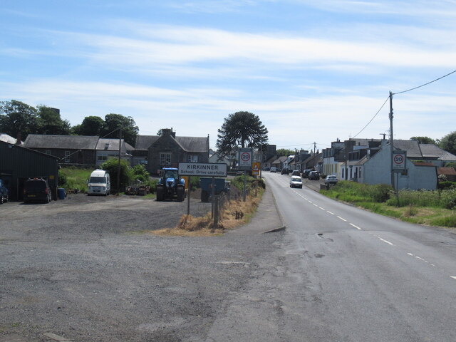
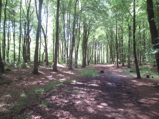
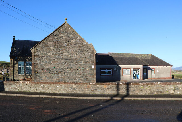
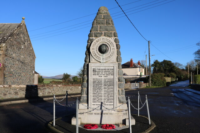
Turkey Hill Images

Images are sourced within 2km of 54.824106/-4.4371193 or Grid Reference NX4350. Thanks to Geograph Open Source API. All images are credited.

Bluebells in a glade in The Forest With walks in this Forest Commission Land.
Bluebells in a glade in The Forest
With walks in this Forest Commission Land.
Dry stone wall  Leading down through pastures towards Baldoon Sands.
Dry stone wall
Leading down through pastures towards Baldoon Sands.
Path, Kilsture Forest
Farm sign, Stewarton
Passing Stewarton Touring from Glasgow to Stranraer.
Passing Stewarton
Touring from Glasgow to Stranraer.
Stewarton Hill A drumlin.
Stewarton Hill
A drumlin.
Old milestone On the west side verge in The Forest is the milestone 5 miles south of Wigton with 6 more miles to Whithorn.  A good clean wouldn't go amiss.
Old milestone
On the west side verge in The Forest is the milestone 5 miles south of Wigton with 6 more miles to Whithorn. A good clean wouldn't go amiss.
Old milestone Southwards towards Whithorn.   In April not much tree cover but by summer when there is full foliage on the trees, this milestone will be in the shade.
Old milestone
Southwards towards Whithorn. In April not much tree cover but by summer when there is full foliage on the trees, this milestone will be in the shade.
Old milestone At the northwest end of a finger of trees from The Forest, Kilsture Forest.   So many of the milestones in Wigtownshire are leaning, perhaps it is that the ground is generally quite soft in this area.   But they may have been there for about a 100 years.
Old milestone
At the northwest end of a finger of trees from The Forest, Kilsture Forest. So many of the milestones in Wigtownshire are leaning, perhaps it is that the ground is generally quite soft in this area. But they may have been there for about a 100 years.
Old milestone Looking back towards Wigtown.   The buildings near the trees are Stewarton and the road sign is Cattle Crossing.
Old milestone
Looking back towards Wigtown. The buildings near the trees are Stewarton and the road sign is Cattle Crossing.
Kirkinner A746 southwards.
Kirkinner
A746 southwards.
J & M McCourtney Shop, Kirkinner
J & M McCourtney
Shop, Kirkinner
Road junction, Littlehills Wood A big unmown area between two gently diverging roads.
Road junction, Littlehills Wood
A big unmown area between two gently diverging roads.
B7004, Little Hills A one way stretch at a fork in the road away from the A746.
B7004, Little Hills
A one way stretch at a fork in the road away from the A746.
Turkey Hill
Turkey Hill
Kilsture Forest A waymarked path leading from a car park.
Kilsture Forest
A waymarked path leading from a car park.
Kirkinner Primary School Viewed in late January (20th).
Kirkinner Primary School
Viewed in late January (20th).
War Memorial, Kirkinner With the Primary School on the left. Memorial says 1914-1919 even though the war finished in 1918, papers were not signed till 1919. Viewed in late January (20th).
War Memorial, Kirkinner
With the Primary School on the left. Memorial says 1914-1919 even though the war finished in 1918, papers were not signed till 1919. Viewed in late January (20th).
Show me another place!

Turkey Hill is located at Grid Ref: NX4350 (Lat: 54.824106, Lng: -4.4371193)

Unitary Authority: Dumfries and Galloway

Police Authority: Dumfries and Galloway

What 3 Words

///reckons.skunks.grove. Near Whithorn, Dumfries & Galloway

Nearby Locations

Turkey Hill Ring Hill

Related Wikis

Kirkinner

Kirkinner (Scottish Gaelic: Cille Chainneir, IPA: [ˈkʲʰiʎə ˈxaɲɪɾʲ]) is a village in the Machars, in the historical county of Wigtownshire in Dumfries...

Kirkinner railway station

Kirkinner was a railway station on the Wigtownshire Railway branch line, from Newton Stewart to Whithorn, of the Portpatrick and Wigtownshire Joint Railway...

Sorbie railway station

Sorbie (NX4351447562) was a railway station that was located close to the village of Sorbie on the then Wigtownshire Railway branch line to Whithorn, from...

Whauphill railway station

Whauphill (NX 40462 49887) was a railway station on the Wigtownshire Railway branch line, from Newton Stewart to Whithorn, of the Portpatrick and Wigtownshire...

Nearby Amenities

Located within 500m of 54.824106,-4.4371193
Balfern
Naptan AtcoCode: 680000879111
Naptan Bearing: NW
Naptan BusStopType: CUS
Naptan CommonName: Balfern
Naptan Indicator: opp Road end
Naptan Landmark: A746
Naptan NaptanCode: 34236867
Naptan Notes: none
Naptan Street: B7004
Naptan Verified: no
Source: naptan_import
Lat/Long: 54.8215974/-4.434316
Balfern
Naptan AtcoCode: 680000879222
Naptan Bearing: SE
Naptan BusStopType: CUS
Naptan CommonName: Balfern
Naptan Indicator: Road End
Naptan Landmark: A746
Naptan NaptanCode: 34236865
Naptan Notes: none
Naptan Street: B7004
Naptan Verified: no
Source: naptan_import
Lat/Long: 54.821667/-4.4342394
Place: farm
Lat/Long: 54.8244701/-4.4303236
Turkey Hill
Natural: peak
Lat/Long: 54.8241484/-4.4375328
Power: pole
Lat/Long: 54.8270488/-4.431565
Power: pole
Lat/Long: 54.8262788/-4.4307365
Power: pole
Lat/Long: 54.8255232/-4.4299216
Power: pole
Lat/Long: 54.8231917/-4.4439414
Power: pole
Lat/Long: 54.8232532/-4.4430799
Power: pole
Lat/Long: 54.8233124/-4.442267
Power: pole
Lat/Long: 54.8233627/-4.4415433
Power: pole
Lat/Long: 54.8242948/-4.4370924
Power: pole
Lat/Long: 54.8250738/-4.4360718
Power: pole
Lat/Long: 54.8257241/-4.4352063
Power: pole
Lat/Long: 54.8264096/-4.4343127
Power: pole
Lat/Long: 54.8271506/-4.4333273
Power: pole
Lat/Long: 54.8239067/-4.4323066
Power: pole
Lat/Long: 54.823778/-4.4318822
Power: pole
Lat/Long: 54.8236391/-4.431433
Power: pole
Lat/Long: 54.8234948/-4.4309885
Power: pole
Lat/Long: 54.8237685/-4.4305064
Power: pole
Lat/Long: 54.8240828/-4.4299608
Power: pole
Lat/Long: 54.8243964/-4.4294422
The data included in this document is from www.openstreetmap.org. The data is made available under ODbL.

Have you been to Turkey Hill?

Leave your review of Turkey Hill below (or comments, questions and feedback).