Blair Hill

Hill, Mountain in Wigtownshire

Scotland

Blair Hill

New Growth A clump of Broad Buckler (Dryopteris dilatata) ferns appearing in time for Spring.
New Growth Credit: Jon Alexander

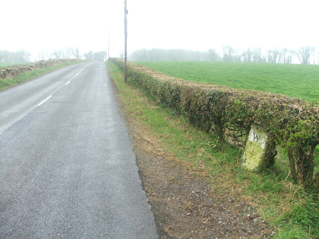
Blair Hill is a prominent natural landmark located in the region of Wigtownshire, in southwestern Scotland. Rising to an elevation of approximately 422 meters (1,385 feet), it is regarded as one of the notable hills in the area. Situated near the village of Blair, the hill offers stunning panoramic views of the surrounding countryside and coastline, making it an attractive destination for locals and tourists alike.

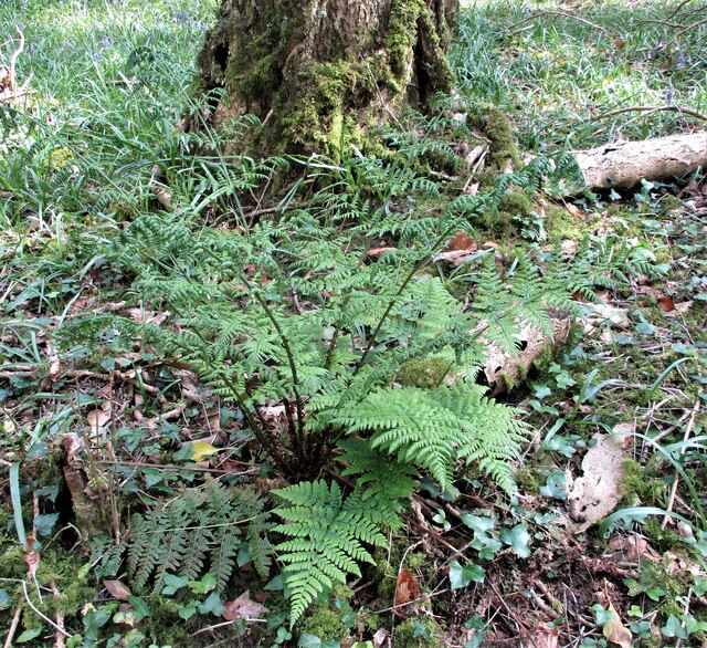
The hill is predominantly composed of rugged and rocky terrain, with heather and grasses covering its slopes. Its distinctive shape and prominence make it easily recognizable from a distance. Blair Hill is often a popular spot for hillwalkers and hikers who are drawn to its challenging but rewarding trails.

Reaching the summit of Blair Hill rewards visitors with breathtaking vistas that stretch across the picturesque landscape of Wigtownshire, encompassing rolling hills, valleys, and the nearby shores of the Irish Sea. On a clear day, it is even possible to catch glimpses of the Isle of Man.

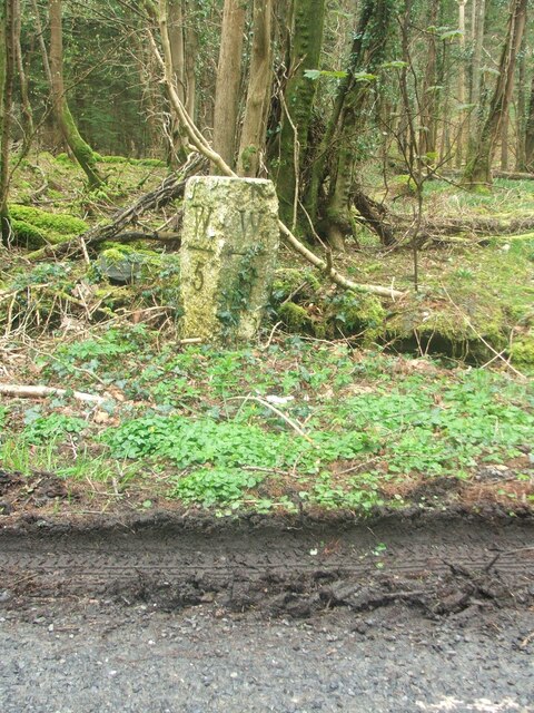
In addition to its natural beauty, Blair Hill also holds historical significance. It is believed that the hill was once a site of Iron Age forts, as remnants of ancient fortifications can still be seen on its slopes. This adds to the allure of the hill, attracting enthusiasts of both natural and historical wonders.

Blair Hill, Wigtownshire, is a captivating destination for those seeking outdoor adventures, stunning views, and a glimpse into Scotland's rich history.

If you have any feedback on the listing, please let us know in the comments section below.
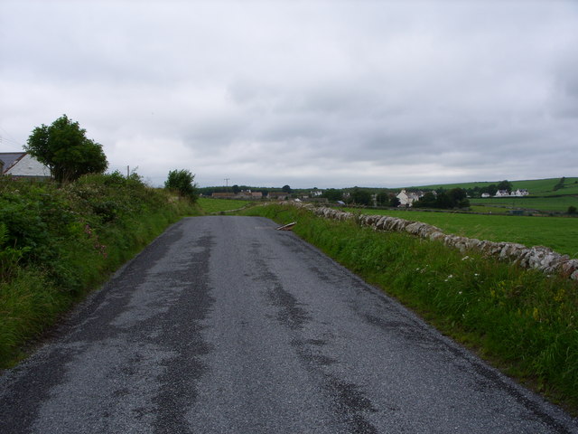
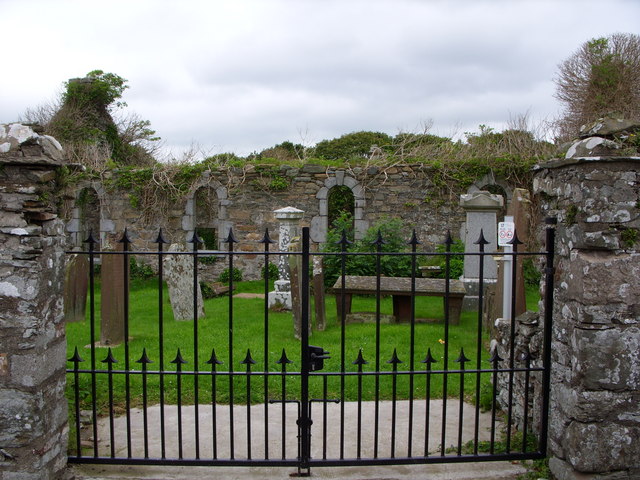
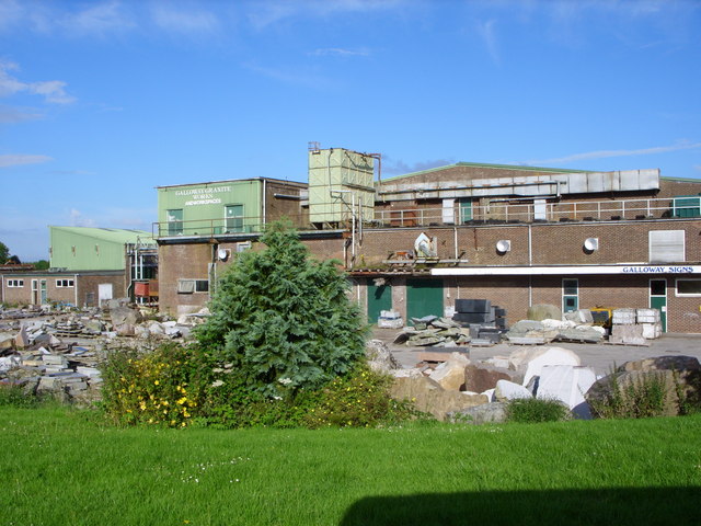
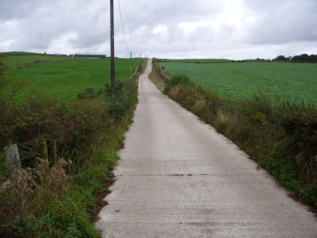
Blair Hill Images

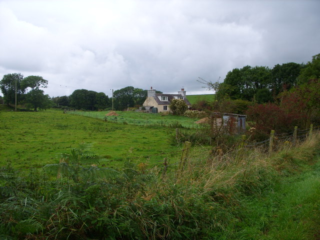
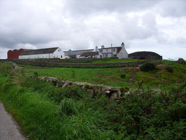
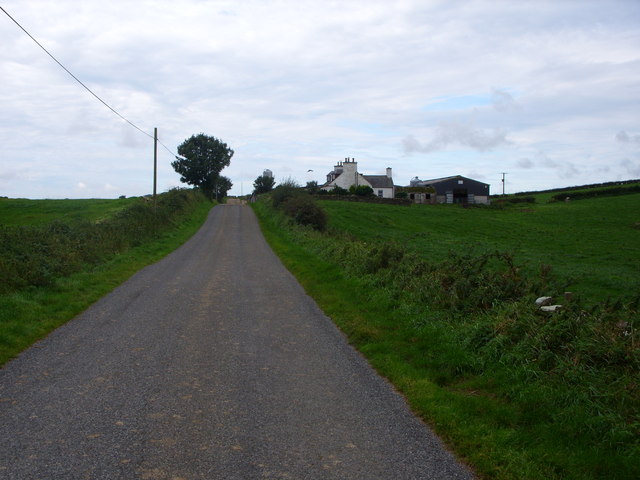
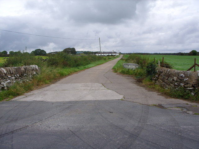
Images are sourced within 2km of 54.795109/-4.4401186 or Grid Reference NX4347. Thanks to Geograph Open Source API. All images are credited.

New Growth A clump of Broad Buckler (Dryopteris dilatata) ferns appearing in time for Spring.
New Growth
A clump of Broad Buckler (Dryopteris dilatata) ferns appearing in time for Spring.
Looking Over the Wall A view of the ancient track that ran from Creech to Corwar.
Looking Over the Wall
A view of the ancient track that ran from Creech to Corwar.
Bees Nest (Former) It looks like a Badger has had a very sweet meal of honey here!
Bees Nest (Former)
It looks like a Badger has had a very sweet meal of honey here!
Old milestone On the west side verge in The Forest is the milestone 5 miles south of Wigton with 6 more miles to Whithorn.  A good clean wouldn't go amiss.
Old milestone
On the west side verge in The Forest is the milestone 5 miles south of Wigton with 6 more miles to Whithorn. A good clean wouldn't go amiss.
Old milestone Southwards towards Whithorn.   In April not much tree cover but by summer when there is full foliage on the trees, this milestone will be in the shade.
Old milestone
Southwards towards Whithorn. In April not much tree cover but by summer when there is full foliage on the trees, this milestone will be in the shade.
Old milestone This milestone is tucked under the hedge and probably 'disappears' in the summer.   It is south of the lane that runs southwest towards Ravenstone Mains.
Old milestone
This milestone is tucked under the hedge and probably 'disappears' in the summer. It is south of the lane that runs southwest towards Ravenstone Mains.
Old milestone A misty, murky day for the photograph of the Wigtown 7 milestone.   This face Wh/ arrow to left/4.
Old milestone
A misty, murky day for the photograph of the Wigtown 7 milestone. This face Wh/ arrow to left/4.
The Pheasant Inn, Sorbie. Nice little pub.  We stayed here while attending a funeral.
The Pheasant Inn, Sorbie.
Nice little pub. We stayed here while attending a funeral.
Motte at Sorbie tower Gate leading to Sorbie Tower.  Beyond, the green mound is the remains of a motte.
Motte at Sorbie tower
Gate leading to Sorbie Tower. Beyond, the green mound is the remains of a motte.
Sorbie Tower 16th century ruined tower house.
<span class="nowrap"><a title="http://www.sorbie.net/sorbie_tower.htm" rel="nofollow ugc noopener" href="http://www.sorbie.net/sorbie_tower.htm">Link</a><img style="margin-left:2px;" alt="External link" title="External link - shift click to open in new window" src="https://s1.geograph.org.uk/img/external.png" width="10" height="10"/></span>
Sorbie Tower
16th century ruined tower house. LinkExternal link
The B 7052 to Sorbie
Sorbie old church
Sorbie old church
Galloway Granite Works This building used to be Sorbie Creamery
Galloway Granite Works
This building used to be Sorbie Creamery
Knockeffrick Farm Road
Stonehouse Cottage
Stonehouse Cottage
Doonhill  Farm
Doonhill Farm
Low Barledziew Farm
Low Barledziew Farm
Claunch Farm Road
Claunch Farm Road
Show me another place!

Blair Hill is located at Grid Ref: NX4347 (Lat: 54.795109, Lng: -4.4401186)

Unitary Authority: Dumfries and Galloway

Police Authority: Dumfries and Galloway

What 3 Words

///timed.impulsive.whoever. Near Whithorn, Dumfries & Galloway

Nearby Locations

Waulkmill Blair Hill

Related Wikis

Sorbie railway station

Sorbie (NX4351447562) was a railway station that was located close to the village of Sorbie on the then Wigtownshire Railway branch line to Whithorn, from...

Sorbie

Sorbie (Scottish Gaelic: Soirbidh) is a small village in Wigtownshire, Machars, within the Administration area of Dumfries and Galloway Council, Scotland...
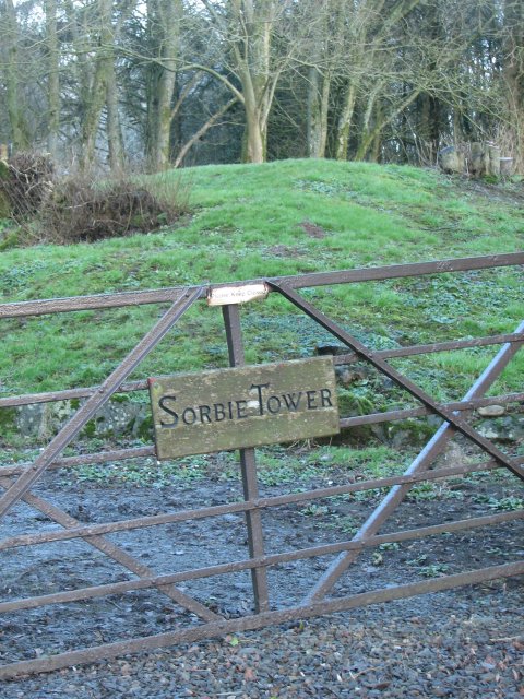
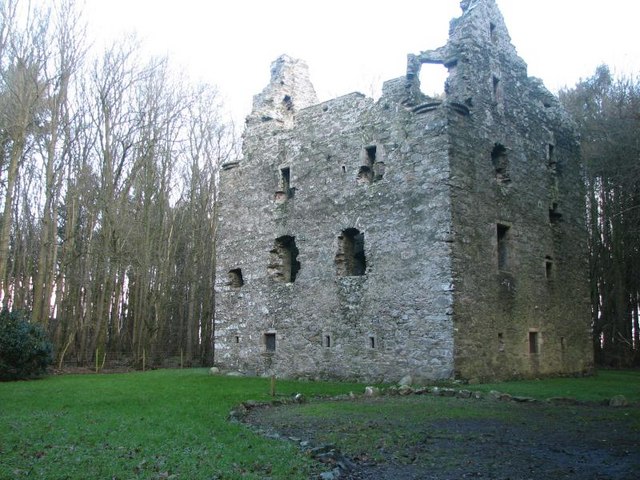
Sorbie Tower

Sorbie Tower is a fortified tower house 1 mile east of the village of Sorbie, Dumfries and Galloway, Scotland. The ancient seat of the Clan Hannay, it...

Kirkinner

Kirkinner (Scottish Gaelic: Cille Chainneir, IPA: [ˈkʲʰiʎə ˈxaɲɪɾʲ]) is a village in the Machars, in the historical county of Wigtownshire in Dumfries...

Nearby Amenities

Located within 500m of 54.795109,-4.4401186
Defibrillator
Defibrillator Location: Sorbie. In front of Sorbie School building.
Emergency: defibrillator
Indoor: no
Ref GB The Circuit: 4A15DDC2-8289-4572-8831-ADE400C20118
Lat/Long: 54.7925076/-4.434426
The data included in this document is from www.openstreetmap.org. The data is made available under ODbL.

Have you been to Blair Hill?

Leave your review of Blair Hill below (or comments, questions and feedback).