Badgers Hill

Hill, Mountain in Devon Torridge

England

Badgers Hill

Duck trials at the Big Sheep, Abbotsham near Bideford One man and his dog (with ducks)
Duck trials at the Big Sheep, Abbotsham near Bideford Credit: Rowena Ford

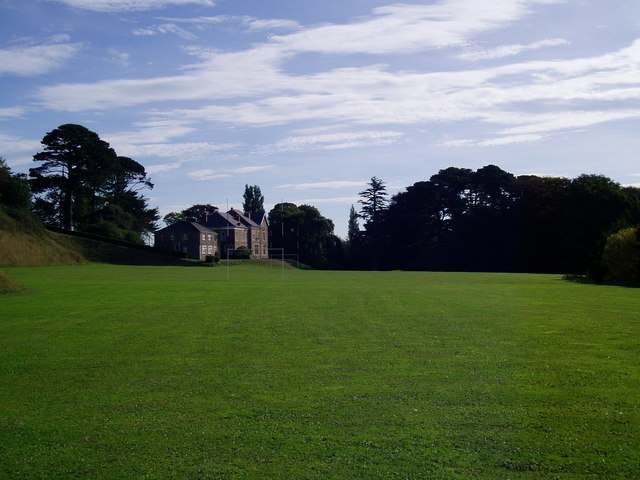
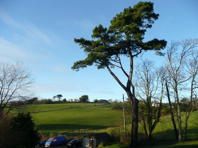
Badgers Hill is a prominent hill located in the county of Devon, England. Situated in the southwestern region of the country, this hill is a part of the larger Dartmoor National Park, known for its stunning natural beauty and diverse wildlife. Rising to an elevation of approximately 400 meters (1312 feet), Badgers Hill offers breathtaking panoramic views of the surrounding countryside.

This hill is characterized by its distinctively rugged terrain, adorned with heather, grasses, and scattered rocky outcrops. It is a popular destination for hikers, nature enthusiasts, and avid photographers, who are drawn to its tranquil atmosphere and picturesque landscapes.

The hill is home to various species of wildlife, including badgers, which are known to inhabit the area. The name "Badgers Hill" is derived from this presence of badgers, although it is important to note that these nocturnal creatures are not always easily spotted.

Access to Badgers Hill is facilitated by a network of footpaths and trails, making it easily reachable for visitors. Its proximity to other attractions within Dartmoor National Park, such as tors and ancient archaeological sites, further adds to its appeal.

Overall, Badgers Hill is a captivating natural landmark within Devon, offering visitors the opportunity to immerse themselves in the region's rich natural heritage and enjoy the tranquility of the countryside.

If you have any feedback on the listing, please let us know in the comments section below.

Badgers Hill Images

Images are sourced within 2km of 51.02013/-4.237694 or Grid Reference SS4326. Thanks to Geograph Open Source API. All images are credited.

Duck trials at the Big Sheep, Abbotsham near Bideford One man and his dog (with ducks)
Duck trials at the Big Sheep, Abbotsham near Bideford
One man and his dog (with ducks)
South West Mountain board centre Practising for a competition at the South West Mountain board centre. <span class="nowrap"><a title="http://www.sw-mbc.co.uk/index.html" rel="nofollow ugc noopener" href="http://www.sw-mbc.co.uk/index.html">Link</a><img style="margin-left:2px;" alt="External link" title="External link - shift click to open in new window" src="https://s1.geograph.org.uk/img/external.png" width="10" height="10"/></span>
South West Mountain board centre
Practising for a competition at the South West Mountain board centre. LinkExternal link
Fat Face World Freestyle Mountain Board Championships The course for the Fat Face World Freestyle Championships.
Fat Face World Freestyle Mountain Board Championships
The course for the Fat Face World Freestyle Championships.
Thatched Inn
Thatched Inn
Atlantic Village al fresco Food Court
Atlantis! OK, not THE Atlantis but the entertainment section of Atlantic Village, Bideford.
Atlantis!
OK, not THE Atlantis but the entertainment section of Atlantic Village, Bideford.
Bideford Cemetery Opened 6th September 1889 by W L Vellacott Esq
Bideford Cemetery
Opened 6th September 1889 by W L Vellacott Esq
Atlantic Village Designer outlet village
Atlantic Village
Designer outlet village
Edgehill College and Rugby pitch Belvoir House, part of Edgehill College and the college Rugby pitch.
Edgehill College and Rugby pitch
Belvoir House, part of Edgehill College and the college Rugby pitch.
View east to Abbotsham Water streaming off the land after a heavy shower. In the distance is a new-build estate in Abbotsham.
View east to Abbotsham
Water streaming off the land after a heavy shower. In the distance is a new-build estate in Abbotsham.
View from Rickard's Down Looking east towards the A39 road viaduct and the outskirts of Bideford.
View from Rickard's Down
Looking east towards the A39 road viaduct and the outskirts of Bideford.
Stream in the Kenwith valley Looking west towards the A39 viaduct over the deep valley.
Stream in the Kenwith valley
Looking west towards the A39 viaduct over the deep valley.
Lodge at the entrance to Moreton Park The estate is part of an independent school, Grenville College.
Lodge at the entrance to Moreton Park
The estate is part of an independent school, Grenville College.
Road bridge at Silford The A39 crosses a minor road to the north of Bideford.
Road bridge at Silford
The A39 crosses a minor road to the north of Bideford.
Scots pine and view from Lenwood The white building on the hill is Gresham Court.
Scots pine and view from Lenwood
The white building on the hill is Gresham Court.
Edgehill College burning
Lane to Abbotsham Cross View north past an isolated cottage.
Lane to Abbotsham Cross
View north past an isolated cottage.
Waterlogged field An arable scene near Lendon, west of Abbotsham
Waterlogged field
An arable scene near Lendon, west of Abbotsham
Show me another place!

Badgers Hill is located at Grid Ref: SS4326 (Lat: 51.02013, Lng: -4.237694)

Administrative County: Devon

District: Torridge

Police Authority: Devon and Cornwall

What 3 Words

///wire.people.crisis. Near Bideford, Devon

Related Wikis

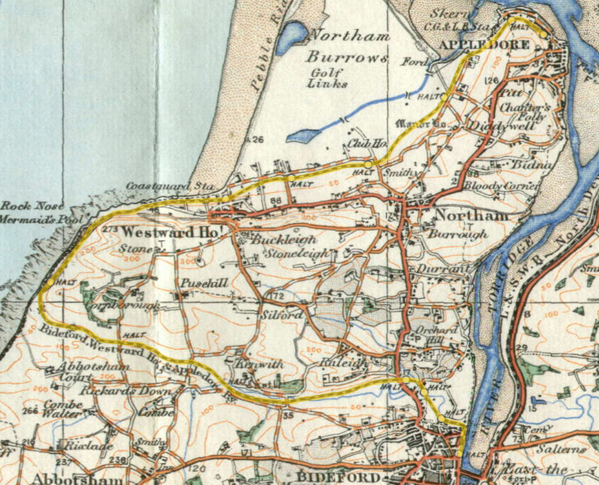
Kenwith Castle Halt railway station

Kenwith Castle Halt was a minor railway station or halt/request stop in north Devon, close to Bideford, serving the nearby castle of that name. It lay...
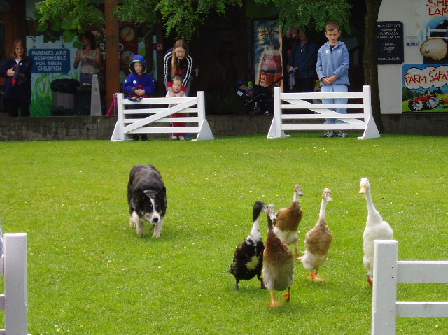
The Big Sheep

The Big Sheep is an amusement farm park located in Abbotsham, Devon, England. The site was originally Barton Farm, a busy sheep farm owned by six generations...

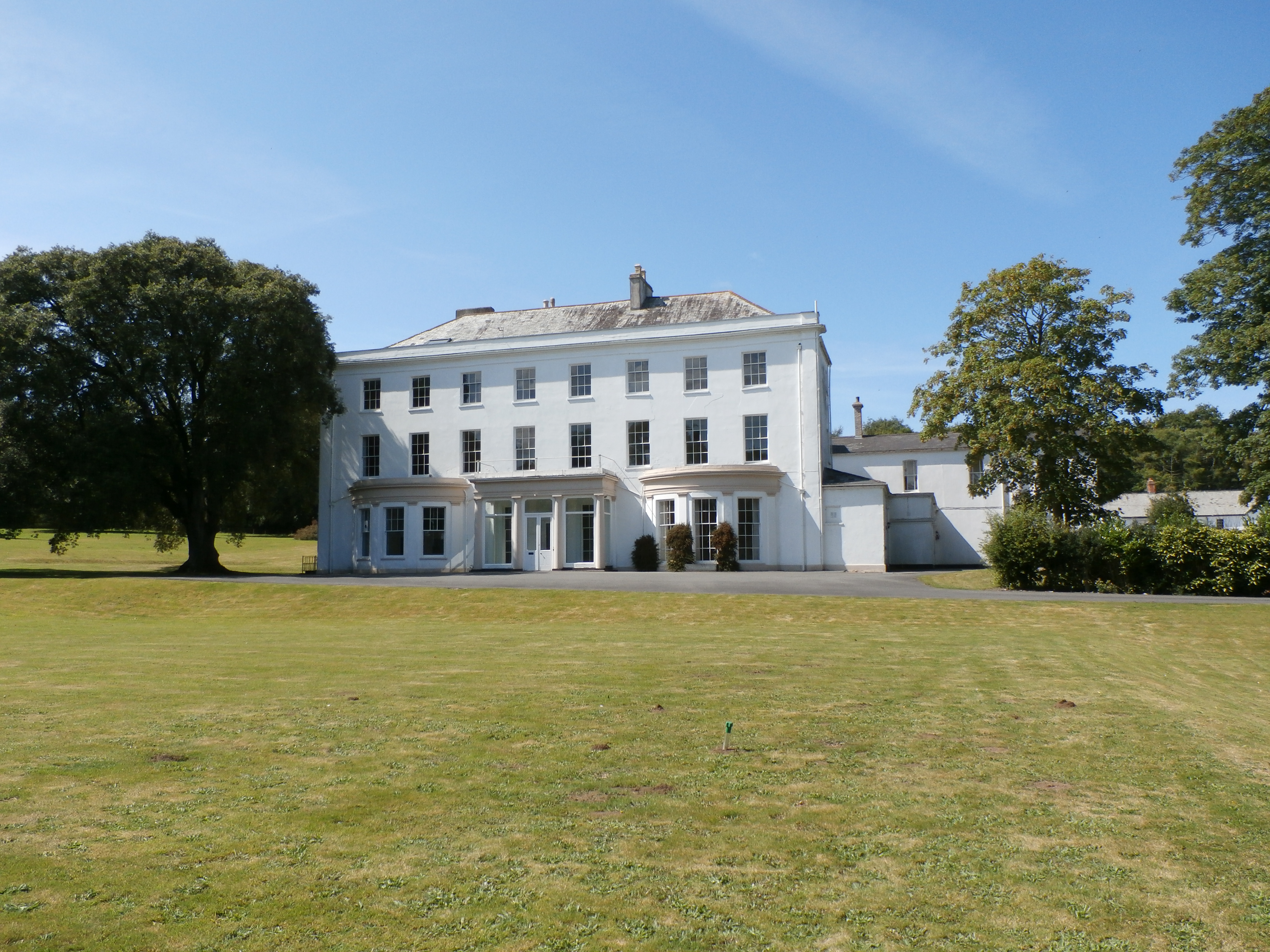
Moreton House, Bideford

Moreton House (formerly until 1821 Daddon House) is a grade II listed country house and former large estate near Bideford, North Devon, England. The house...

Tarka Valley Railway

The Tarka Valley Railway in Devon, England, is a heritage railway that plans to rebuild the Torrington to Bideford section of the Barnstaple to Halwill...

Nearby Amenities

Located within 500m of 51.02013,-4.237694
Parking
Lat/Long: 51.0209186/-4.2362875
Parking
Lat/Long: 51.0205576/-4.2363143
The data included in this document is from www.openstreetmap.org. The data is made available under ODbL.

Have you been to Badgers Hill?

Leave your review of Badgers Hill below (or comments, questions and feedback).