Balnakeil Craft Village

Settlement in Sutherland

Scotland

Balnakeil Craft Village

Fields by Loch Caladail Limestone country near Durness.
Fields by Loch Caladail Credit: Richard Webb

Balnakeil Craft Village is a charming and unique destination located in the remote and picturesque area of Sutherland, Scotland. Nestled amidst the stunning coastline and surrounded by breathtaking landscapes, this craft village offers visitors a truly memorable experience.

Originally established in the 1960s as a response to the decline in the local fishing industry, Balnakeil Craft Village is a collection of former military buildings that have been repurposed into workshops and studios for local artists and craftspeople. It has since evolved into a thriving creative hub, attracting artisans from various disciplines including pottery, painting, weaving, and sculpture.

Visitors to Balnakeil Craft Village can explore the workshops and observe the artists at work, providing a unique opportunity to witness the creative process firsthand. The village also hosts regular exhibitions and events, showcasing the talents of its resident artists and providing a platform for them to sell their handmade products.

Aside from the artistic offerings, Balnakeil Craft Village boasts a delightful café and a small gallery where visitors can browse and purchase the unique crafts created on-site. The café serves delicious homemade treats, and its outdoor seating area offers panoramic views of the surrounding landscape, making it a perfect spot to relax and soak in the tranquil atmosphere.

With its remote location, Balnakeil Craft Village offers a peaceful and serene escape from the hustle and bustle of everyday life. It is a haven for art enthusiasts, nature lovers, and those seeking a truly authentic Scottish experience.

If you have any feedback on the listing, please let us know in the comments section below.

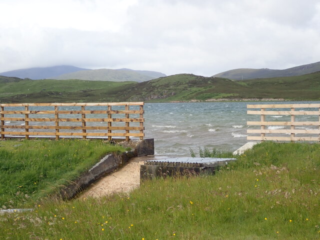
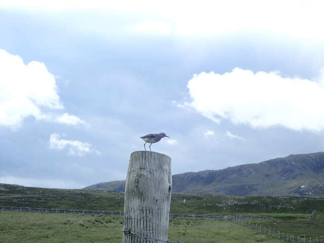
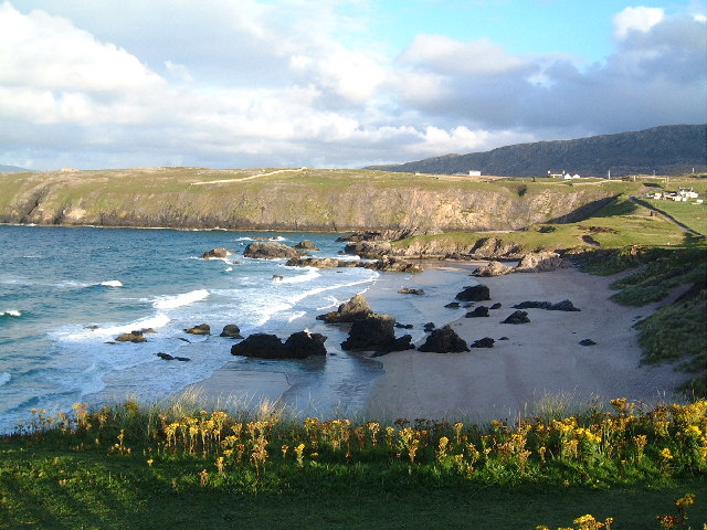
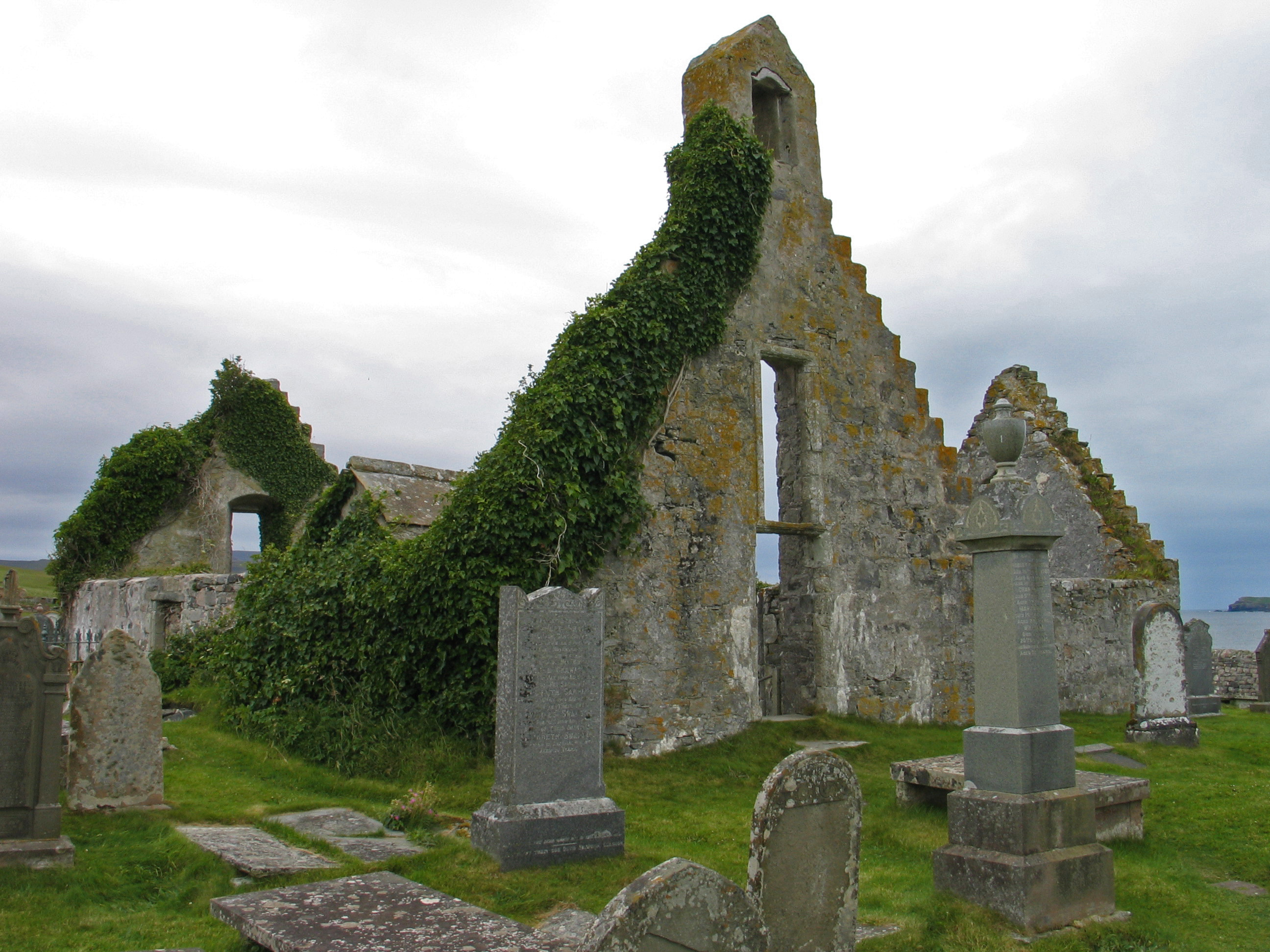
Balnakeil Craft Village Images

Images are sourced within 2km of 58.561143/-4.7693155 or Grid Reference NC3967. Thanks to Geograph Open Source API. All images are credited.

Fields by Loch Caladail Limestone country near Durness.
Fields by Loch Caladail
Limestone country near Durness.
Open moorland at Cnoc na Mòine
Beech copse above Kyle of Durness
Moor above Kyle of Durness A limestone outcrop in the foreground.
Moor above Kyle of Durness
A limestone outcrop in the foreground.
Kyle of Durness Limestone shores shine in the sun.  The hamlet, Keoldale beyond the bay.
Kyle of Durness
Limestone shores shine in the sun. The hamlet, Keoldale beyond the bay.
Graveyard with remains of Balnakeil Old Church Balnakeil Church is thought to have been built in 1619 as a rectangular block with a north aisle being added in 1692. The gables were rebuilt in the 1720s. The church was in use until 1814, when a new parish church was built on the south side of Durness. (Information from the Undiscovered Scotland website - <span class="nowrap"><a title="https://www.undiscoveredscotland.co.uk/durness/balnakeilchurch/index.html)" rel="nofollow ugc noopener" href="https://www.undiscoveredscotland.co.uk/durness/balnakeilchurch/index.html)">Link</a><img style="margin-left:2px;" alt="External link" title="External link - shift click to open in new window" src="https://s1.geograph.org.uk/img/external.png" width="10" height="10"/></span>
Balnakeil Bay lies mainly unseen beyond, to the north.
Graveyard with remains of Balnakeil Old Church
Balnakeil Church is thought to have been built in 1619 as a rectangular block with a north aisle being added in 1692. The gables were rebuilt in the 1720s. The church was in use until 1814, when a new parish church was built on the south side of Durness. (Information from the Undiscovered Scotland website - LinkExternal link Balnakeil Bay lies mainly unseen beyond, to the north.
Rocks at shore of Balnakeil Bay The sands of Balnakeil Bay are concealed as the tide is high in this view from the shore north of the graveyard and ruined church.
Beyond, sand dunes extend to the north at the eastern side of the bay heading towards Faraid Head
Rocks at shore of Balnakeil Bay
The sands of Balnakeil Bay are concealed as the tide is high in this view from the shore north of the graveyard and ruined church. Beyond, sand dunes extend to the north at the eastern side of the bay heading towards Faraid Head
Loch Calladall
Loch Calladall
A838 The A838 runs 83 miles from Dalchork to Tongue, via Durness, in NW Scotland.
<span class="nowrap"><a title="https://www.sabre-roads.org.uk/wiki/index.php?title=A838" rel="nofollow ugc noopener" href="https://www.sabre-roads.org.uk/wiki/index.php?title=A838">Link</a><img style="margin-left:2px;" alt="External link" title="External link - shift click to open in new window" src="https://s1.geograph.org.uk/img/external.png" width="10" height="10"/></span>
A838
The A838 runs 83 miles from Dalchork to Tongue, via Durness, in NW Scotland. LinkExternal link
A838 descending to the Kyle of Durness The A838 runs 83 miles from Dalchork to Tongue, via Durness, in NW Scotland.
<span class="nowrap"><a title="https://www.sabre-roads.org.uk/wiki/index.php?title=A838" rel="nofollow ugc noopener" href="https://www.sabre-roads.org.uk/wiki/index.php?title=A838">Link</a><img style="margin-left:2px;" alt="External link" title="External link - shift click to open in new window" src="https://s1.geograph.org.uk/img/external.png" width="10" height="10"/></span>
A838 descending to the Kyle of Durness
The A838 runs 83 miles from Dalchork to Tongue, via Durness, in NW Scotland. LinkExternal link
NC500 descending to the Kyle of Durness The A838 runs 83 miles from Dalchork to Tongue, via Durness, in NW Scotland.
<span class="nowrap"><a title="https://www.sabre-roads.org.uk/wiki/index.php?title=A838" rel="nofollow ugc noopener" href="https://www.sabre-roads.org.uk/wiki/index.php?title=A838">Link</a><img style="margin-left:2px;" alt="External link" title="External link - shift click to open in new window" src="https://s1.geograph.org.uk/img/external.png" width="10" height="10"/></span>
NC500 descending to the Kyle of Durness
The A838 runs 83 miles from Dalchork to Tongue, via Durness, in NW Scotland. LinkExternal link
Kyle of Durness
Kyle of Durness
A838 The A838 runs 83 miles from Dalchork to Tongue, via Durness, in NW Scotland.
<span class="nowrap"><a title="https://www.sabre-roads.org.uk/wiki/index.php?title=A838" rel="nofollow ugc noopener" href="https://www.sabre-roads.org.uk/wiki/index.php?title=A838">Link</a><img style="margin-left:2px;" alt="External link" title="External link - shift click to open in new window" src="https://s1.geograph.org.uk/img/external.png" width="10" height="10"/></span>
A838
The A838 runs 83 miles from Dalchork to Tongue, via Durness, in NW Scotland. LinkExternal link
Single teack section of A838, by Kyle of Durness The A838 runs 83 miles from Dalchork to Tongue, via Durness, in NW Scotland.
<span class="nowrap"><a title="https://www.sabre-roads.org.uk/wiki/index.php?title=A838" rel="nofollow ugc noopener" href="https://www.sabre-roads.org.uk/wiki/index.php?title=A838">Link</a><img style="margin-left:2px;" alt="External link" title="External link - shift click to open in new window" src="https://s1.geograph.org.uk/img/external.png" width="10" height="10"/></span>
Single teack section of A838, by Kyle of Durness
The A838 runs 83 miles from Dalchork to Tongue, via Durness, in NW Scotland. LinkExternal link
Loch Caladail A shallow loch with good brown trout fishing
Loch Caladail
A shallow loch with good brown trout fishing
Green sandpiper near Loch Caladail
Balnakeil Craft Village Not much going on when we visited
Balnakeil Craft Village
Not much going on when we visited
Balnakeil Craft Village sign
Show me another place!

Balnakeil Craft Village is located at Grid Ref: NC3967 (Lat: 58.561143, Lng: -4.7693155)

Unitary Authority: Highland

Police Authority: Highlands and Islands

What 3 Words

///encounter.slate.cuddled. Near Oldshoremore, Highland

Related Wikis

Durness

Durness (Scottish Gaelic: Diùranais) is a village and civil parish in the north-west Highlands of Scotland. It lies on the north coast of the country in...

Balnakeil

Balnakeil is a hamlet in the parish of Durness, Sutherland, Scottish Highlands, and is in the Scottish council area of Highland. It is on the north coast...
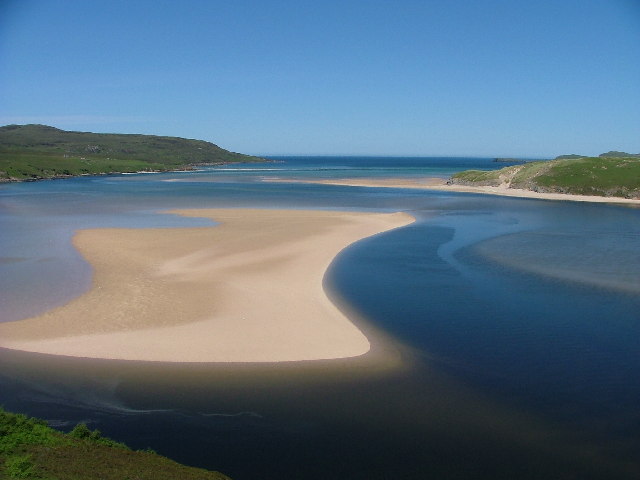
Kyle of Durness

Kyle of Durness is a coastal inlet on the north coast of Scotland in the county of Sutherland. It extends 5+1⁄2 miles (9 kilometres) inland from Balnakeil...
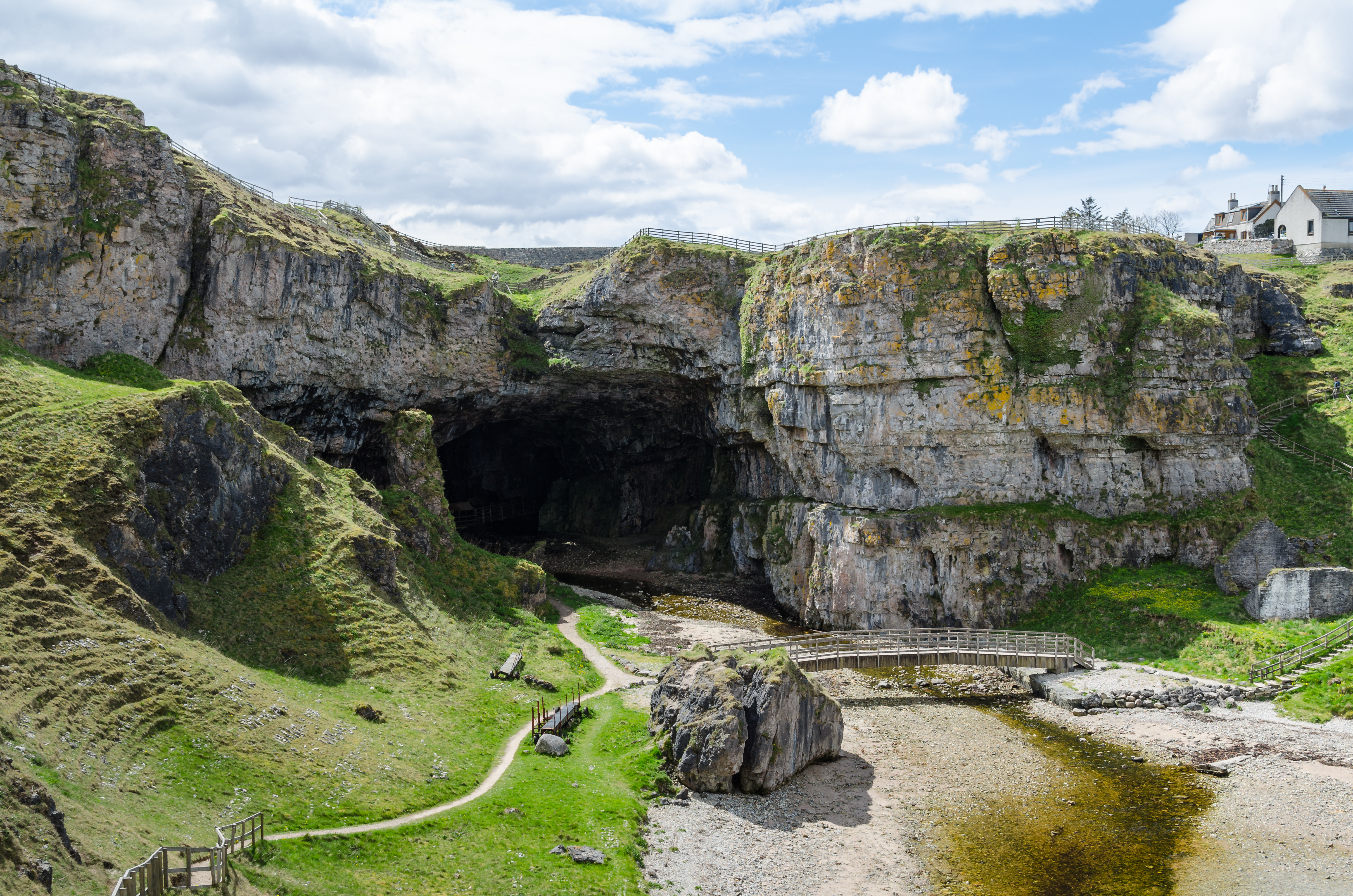
Smoo Cave

Smoo Cave is a large combined sea cave and freshwater cave in Durness in Sutherland, Highland, Scotland. The cave name is thought to originate from the...

Nearby Amenities

Located within 500m of 58.561143,-4.7693155
Material: wood
Power: pole
Lat/Long: 58.5633355/-4.7618142
Material: wood
Power: pole
Lat/Long: 58.5624696/-4.7634181
Material: wood
Power: pole
Lat/Long: 58.561952/-4.7643945
Material: wood
Power: pole
Lat/Long: 58.5608677/-4.7658053
Material: wood
Power: pole
Lat/Long: 58.5602997/-4.7662854
Material: wood
Power: pole
Lat/Long: 58.5567096/-4.7693083
Passing Place
Lat/Long: 58.5623228/-4.7619142
The data included in this document is from www.openstreetmap.org. The data is made available under ODbL.

Have you been to Balnakeil Craft Village?

Leave your review of Balnakeil Craft Village below (or comments, questions and feedback).