Barledziew Hill

Hill, Mountain in Wigtownshire

Scotland

Barledziew Hill

Old milestone This milestone is tucked under the hedge and probably 'disappears' in the summer.   It is south of the lane that runs southwest towards Ravenstone Mains.
Old milestone Credit: Chris Minto

Barledziew Hill is a prominent geological feature located in Wigtownshire, Scotland. Rising to an elevation of 253 meters (830 feet) above sea level, the hill offers stunning panoramic views of the surrounding countryside and coastline. It is a popular destination for hikers and outdoor enthusiasts due to its accessible location and relatively gentle slopes.

The hill is characterized by its grassy slopes and rocky outcrops, which are remnants of the region's geological history. The summit of Barledziew Hill is marked by a trig point, providing a reference point for navigation and a sense of accomplishment for those who reach the top.

The area surrounding Barledziew Hill is known for its diverse flora and fauna, with many rare and endangered species making their home in the heathland and woodlands that cover the slopes of the hill. Visitors to the area may also spot a variety of bird species, including red kites and peregrine falcons.

Overall, Barledziew Hill is a must-visit destination for nature lovers and outdoor enthusiasts looking to explore the natural beauty of Wigtownshire.

If you have any feedback on the listing, please let us know in the comments section below.

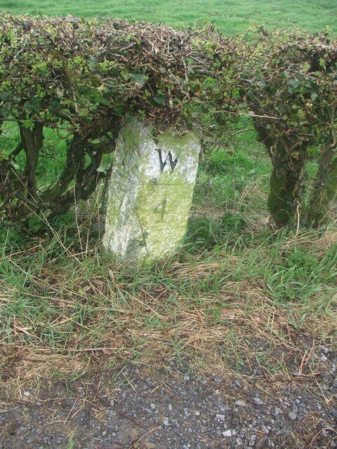
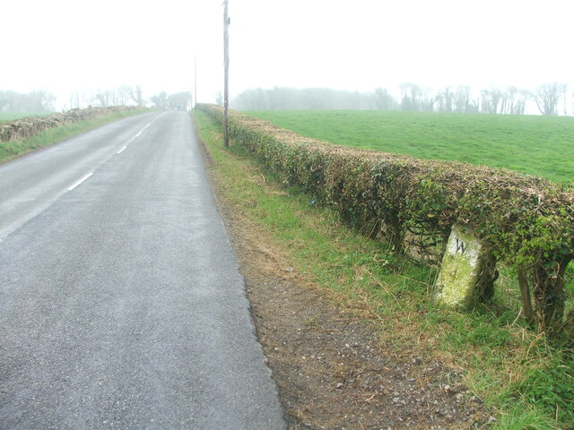
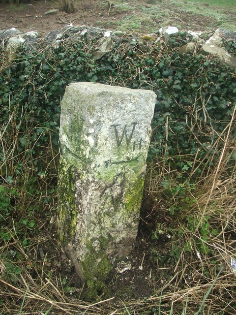
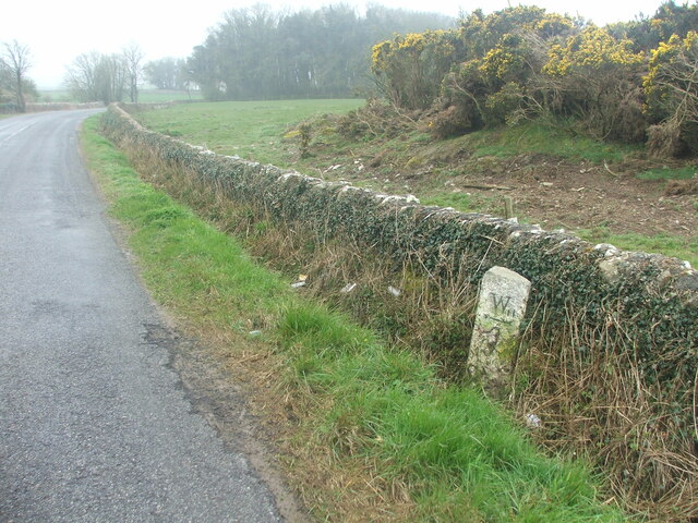
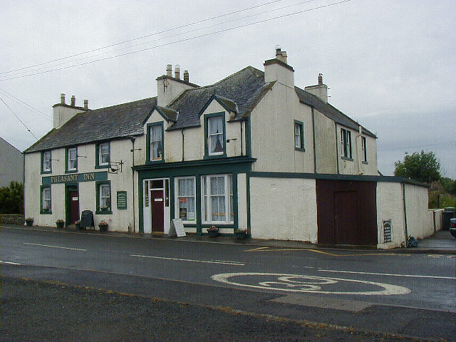
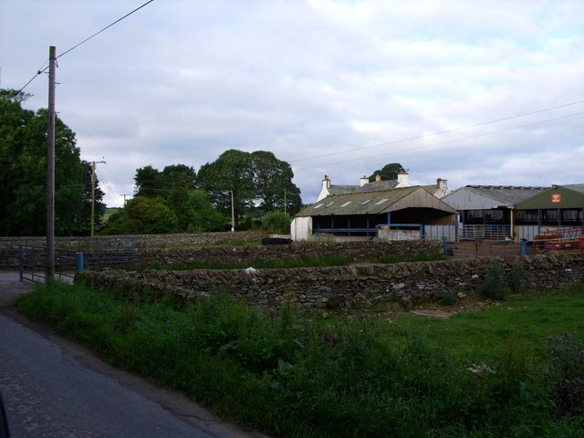
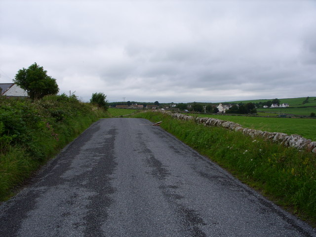
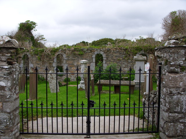
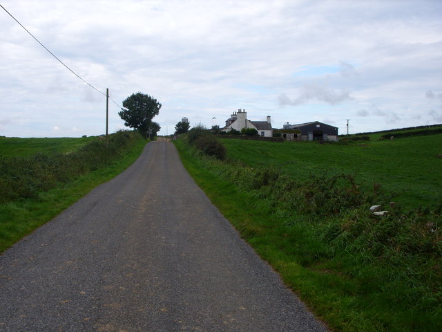
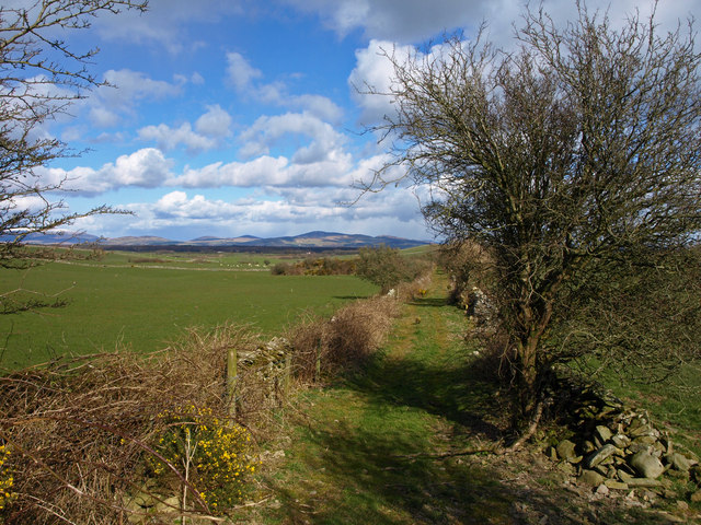
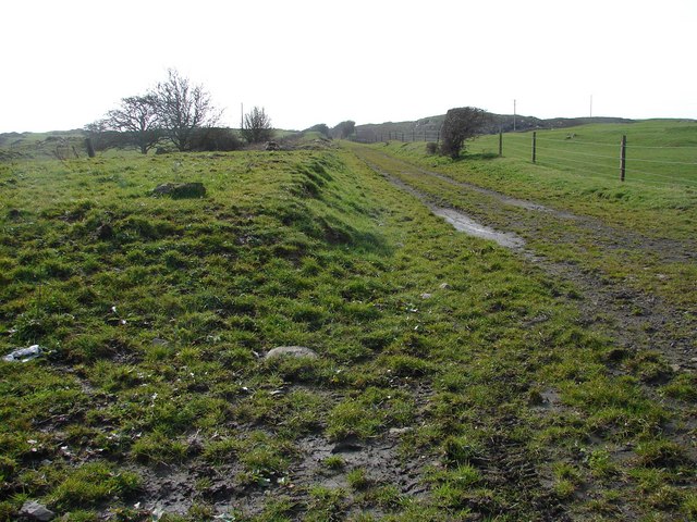
Barledziew Hill Images

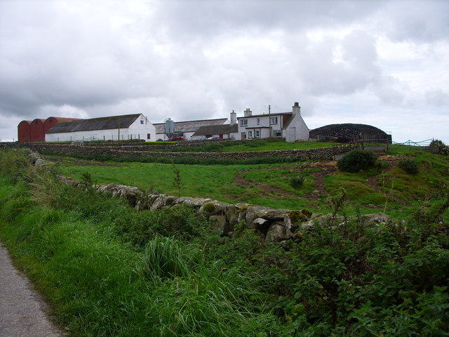
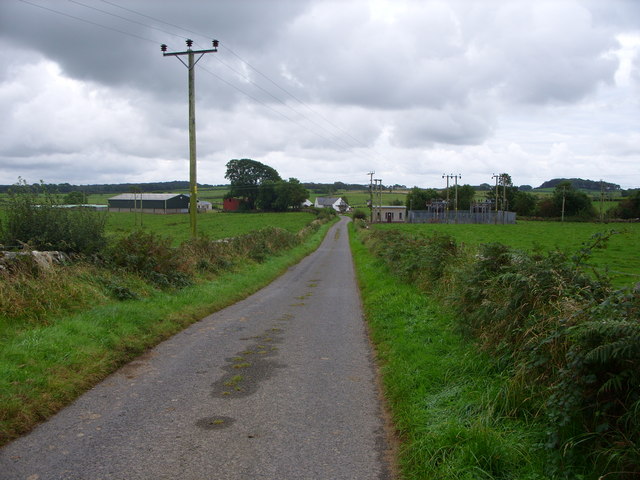
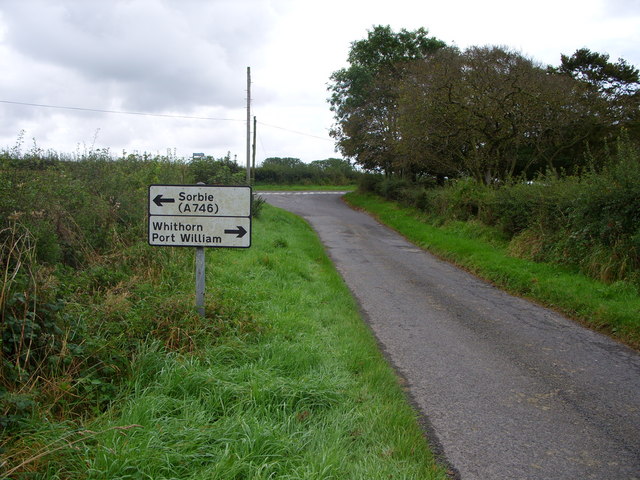
Images are sourced within 2km of 54.780646/-4.4441307 or Grid Reference NX4245. Thanks to Geograph Open Source API. All images are credited.

Old milestone This milestone is tucked under the hedge and probably 'disappears' in the summer.   It is south of the lane that runs southwest towards Ravenstone Mains.
Old milestone
This milestone is tucked under the hedge and probably 'disappears' in the summer. It is south of the lane that runs southwest towards Ravenstone Mains.
Old milestone A misty, murky day for the photograph of the Wigtown 7 milestone.   This face Wh/ arrow to left/4.
Old milestone
A misty, murky day for the photograph of the Wigtown 7 milestone. This face Wh/ arrow to left/4.
Old milestone This milestone is just north of the entrance to Broadwigg Farm which is on opposite side of the A746.  Some dead grass tampled down but another milestone that needs a scrub down.
Old milestone
This milestone is just north of the entrance to Broadwigg Farm which is on opposite side of the A746. Some dead grass tampled down but another milestone that needs a scrub down.
Old milestone The view southwards along the A746 shows the milestone near a gorse covered mound in the field behind the wall.
Old milestone
The view southwards along the A746 shows the milestone near a gorse covered mound in the field behind the wall.
The Pheasant Inn, Sorbie. Nice little pub.  We stayed here while attending a funeral.
The Pheasant Inn, Sorbie.
Nice little pub. We stayed here while attending a funeral.
Bridgehouse Farm
Bridgehouse Farm
The B 7052 to Sorbie
Sorbie old church
Sorbie old church
Doonhill  Farm
Doonhill Farm
West Culkae Farm
West Culkae Farm
Minor Road Leading to Grennan Farm
Road Junction
Road Junction
Low Barledziew Farm
Low Barledziew Farm
Reiffer Park Farm
Reiffer Park Farm
Lane near Culnoag The view is northeast towards the hills above Creetown on the far side of Wigtown Bay.
Lane near Culnoag
The view is northeast towards the hills above Creetown on the far side of Wigtown Bay.
Sheep pasture near Culnoag Culnoag farm (in NX4247) is just visible amongst the trees.
Sheep pasture near Culnoag
Culnoag farm (in NX4247) is just visible amongst the trees.
Lane near Doonhill Cottages
Farm track near Doonhill Cottages
Show me another place!

Barledziew Hill is located at Grid Ref: NX4245 (Lat: 54.780646, Lng: -4.4441307)

Unitary Authority: Dumfries and Galloway

Police Authority: Dumfries and Galloway

What 3 Words

///infringe.home.insist. Near Whithorn, Dumfries & Galloway

Nearby Locations

Barledziew Hill

Related Wikis

Sorbie

Sorbie (Scottish Gaelic: Soirbidh) is a small village in Wigtownshire, Machars, within the Administration area of Dumfries and Galloway Council, Scotland...

Sorbie railway station

Sorbie (NX4351447562) was a railway station that was located close to the village of Sorbie on the then Wigtownshire Railway branch line to Whithorn, from...

Sorbie Tower

Sorbie Tower is a fortified tower house 1 mile east of the village of Sorbie, Dumfries and Galloway, Scotland. The ancient seat of the Clan Hannay, it...

Broughton Skeog railway station

Broughton Skeog (NX4554444071) was a railway station that was located near level crossing gates over a minor road on the Wigtownshire Railway branch line...

Nearby Amenities

Located within 500m of 54.780646,-4.4441307
Low Barledziew
Natural: peak
Lat/Long: 54.780687/-4.4449077
Low Barledziew
Place: locality
Lat/Long: 54.7793833/-4.4422737
Power: pole
Lat/Long: 54.7771386/-4.4486031
Power: pole
Lat/Long: 54.7776716/-4.4474235
Power: pole
Lat/Long: 54.7780073/-4.446534
Power: pole
Lat/Long: 54.7783785/-4.445558
Power: pole
Lat/Long: 54.7787774/-4.4445148
The data included in this document is from www.openstreetmap.org. The data is made available under ODbL.

Have you been to Barledziew Hill?

Leave your review of Barledziew Hill below (or comments, questions and feedback).