Dùn Dhamh
Hill, Mountain in Stirlingshire
Scotland
Dùn Dhamh

Dùn Dhamh, located in Stirlingshire, Scotland, is a prominent hill/mountain that offers breathtaking views and a rich historical significance. Standing at approximately 1,155 feet (352 meters) in height, it is a popular destination for hikers, nature enthusiasts, and history buffs alike.
The name "Dùn Dhamh" translates to "Hill of the Stag" in Gaelic, reflecting the area's natural beauty and wildlife. The hill is composed of sedimentary rocks, primarily sandstone and limestone, which contribute to its distinctive appearance.
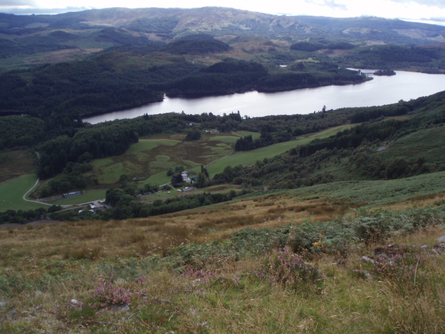
From the summit of Dùn Dhamh, visitors are treated to panoramic vistas of the surrounding landscape, including stunning views of the nearby Loch Lomond and The Trossachs National Park. On clear days, it is even possible to see as far as the Ben Lomond mountain range.
The hill is also steeped in history. It is believed to have been the site of an ancient hillfort, dating back to the Iron Age. Archaeological excavations have revealed remnants of ancient dwellings and defensive structures, providing valuable insights into the lives of the people who once inhabited the area.
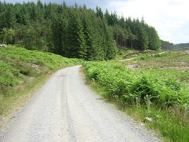
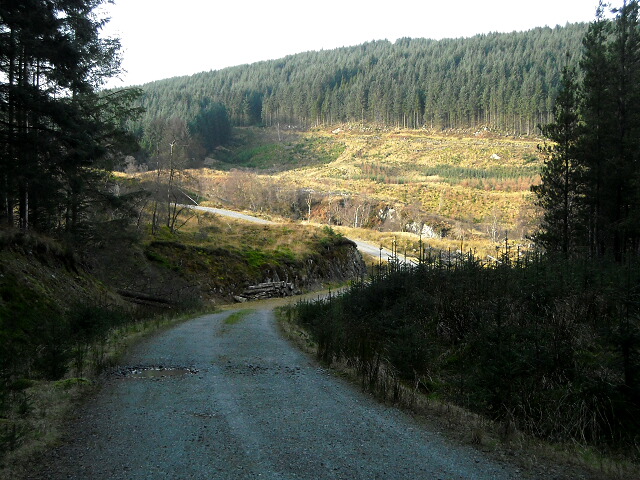
Today, Dùn Dhamh is managed as part of a nature reserve, ensuring the preservation of its natural and historical heritage. Visitors can explore the hill's many walking trails, which offer a chance to observe the diverse flora and fauna that call the area home.
In conclusion, Dùn Dhamh in Stirlingshire is a captivating hill/mountain that combines stunning natural beauty with a rich historical past. Its picturesque views and archaeological significance make it a must-visit destination for those seeking to immerse themselves in Scotland's captivating landscapes and cultural heritage.
If you have any feedback on the listing, please let us know in the comments section below.
Dùn Dhamh Images
Images are sourced within 2km of 56.162128/-4.5436247 or Grid Reference NS4299. Thanks to Geograph Open Source API. All images are credited.


Dùn Dhamh is located at Grid Ref: NS4299 (Lat: 56.162128, Lng: -4.5436247)
Unitary Authority: Stirling
Police Authority: Forth Valley
What 3 Words
///mutual.majoring.firepower. Near Balfron, Stirling
Nearby Locations
Related Wikis

Loch Dubh (Loch Ard Forest)
Loch Dubh ("Black Loch") is a lochan on the Duchray Water in the western part of Loch Ard Forest in the Central Highlands of Scotland. == Location == Loch...
Kinlochard
Kinlochard is a village in Stirling, Scotland. It lies to the western end of Loch Ard. Children in Kinlochard attend Aberfoyle Primary School and eventually...
Loch Ard
Loch Ard (Scottish Gaelic: Loch na h-Àirde) is a loch, located in Loch Lomond and the Trossachs National Park, Stirling council area, Scotland. == Overview... ==

Loch Chon
Loch Chon is a freshwater loch situated west of the village of Aberfoyle, near the small village of Kinlochard, Stirling, Scotland, UK. Loch Chon lies...
Have you been to Dùn Dhamh?
Leave your review of Dùn Dhamh below (or comments, questions and feedback).